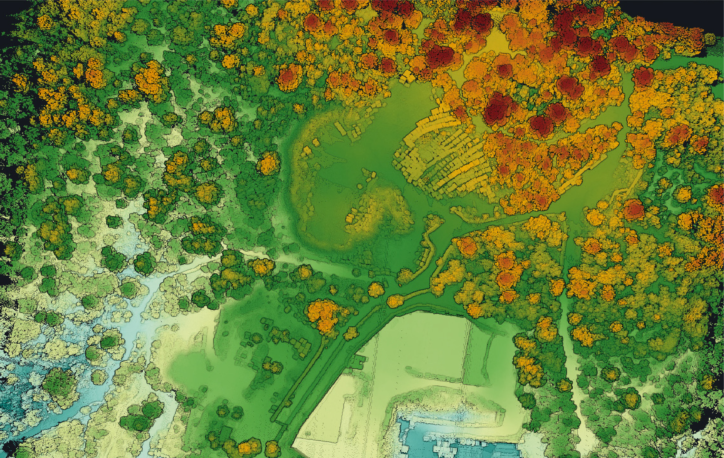
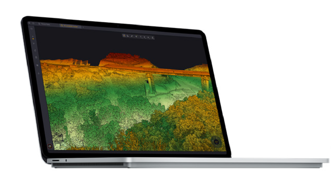
Generate &
Visualize Point Clouds
สร้างและแสดงผล Point Cloud ได้ทันทีหลังบิน — Auto-detection ของ LiDAR Strips พร้อมเครื่องมือ Visualization ขั้นสูง EDL Filter, Measurement Tools
Strip Adjustment
One-Click
ปรับ LiDAR Strips ให้ตรงกันอัตโนมัติ — State of the Art Algorithms รองรับ Ground Control Points (GCPs) พร้อม Strip Adjustment Report
Colorize &
Classify
Colorize Point Cloud จากภาพถ่ายหรือ Orthophoto — Automatic Classification แบ่ง Ground/Non-Ground พร้อม Export DTM, DSM, DHM
Floating License
Offline Ready
ติดตั้งได้หลายเครื่องด้วย Floating License — ใช้งาน Offline ได้ 30 วัน เหมาะสำหรับงานสนาม พร้อมอัปเดตอัตโนมัติ
Processing & Export.
Processing & Export
Analysis & Visualization
CloudStation
Visualize, inspect, colorize from orthophotos, export — 15 features included. Perfect for basic processing and visualization.
CloudStation
All Essential features PLUS: Robust Strip Adjustment, Precise Adjustment, GCP-constrained, Classification, Contour Lines, Export DTM/DSM/DHM/Hillshade, Automated Trajectory QC
CloudStation
All Pro features PLUS: YTK Command Line / Batch Processing, Orthophoto Generation, Fullwave LAS Generation — Complete automation power.
พร้อมประมวลผล LiDAR อย่างมืออาชีพ
ด้วย CloudStation แล้วหรือยัง?
ติดต่อ Thai Sky Vision ตัวแทนจำหน่าย YellowScan อย่างเป็นทางการในประเทศไทย — รับคำปรึกษาซอฟต์แวร์ License และ After-Sales Support ครบวงจร
Thai Sky Vision Co., Ltd. — Official YellowScan Distributor in Thailand