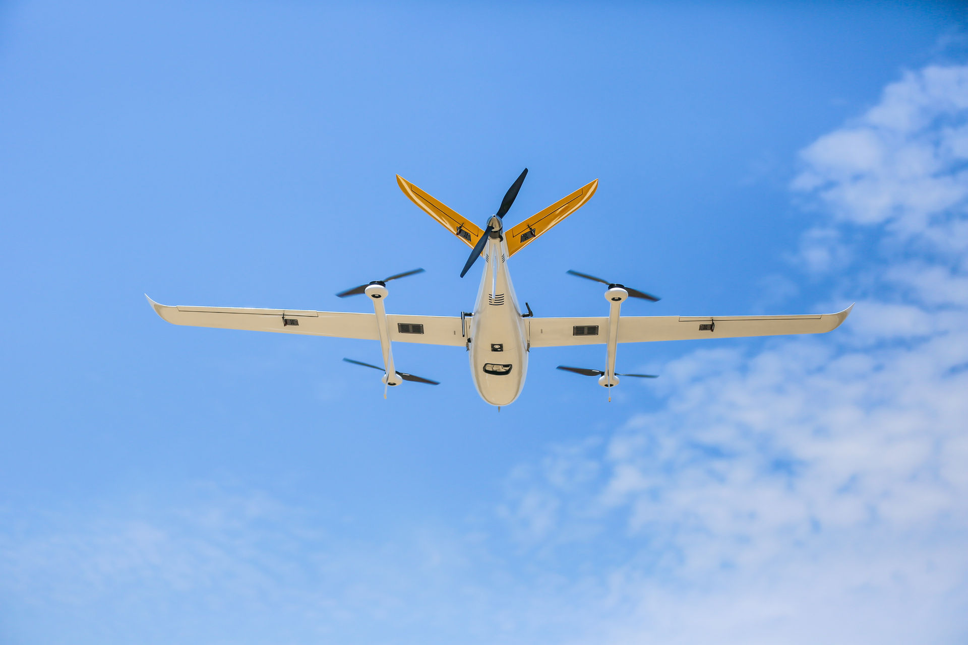
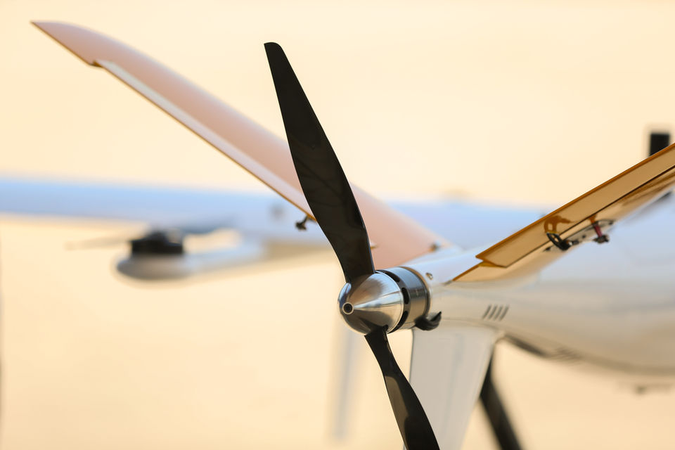
// EVOLUTION
Our Milestones
Founded INSEE UAV
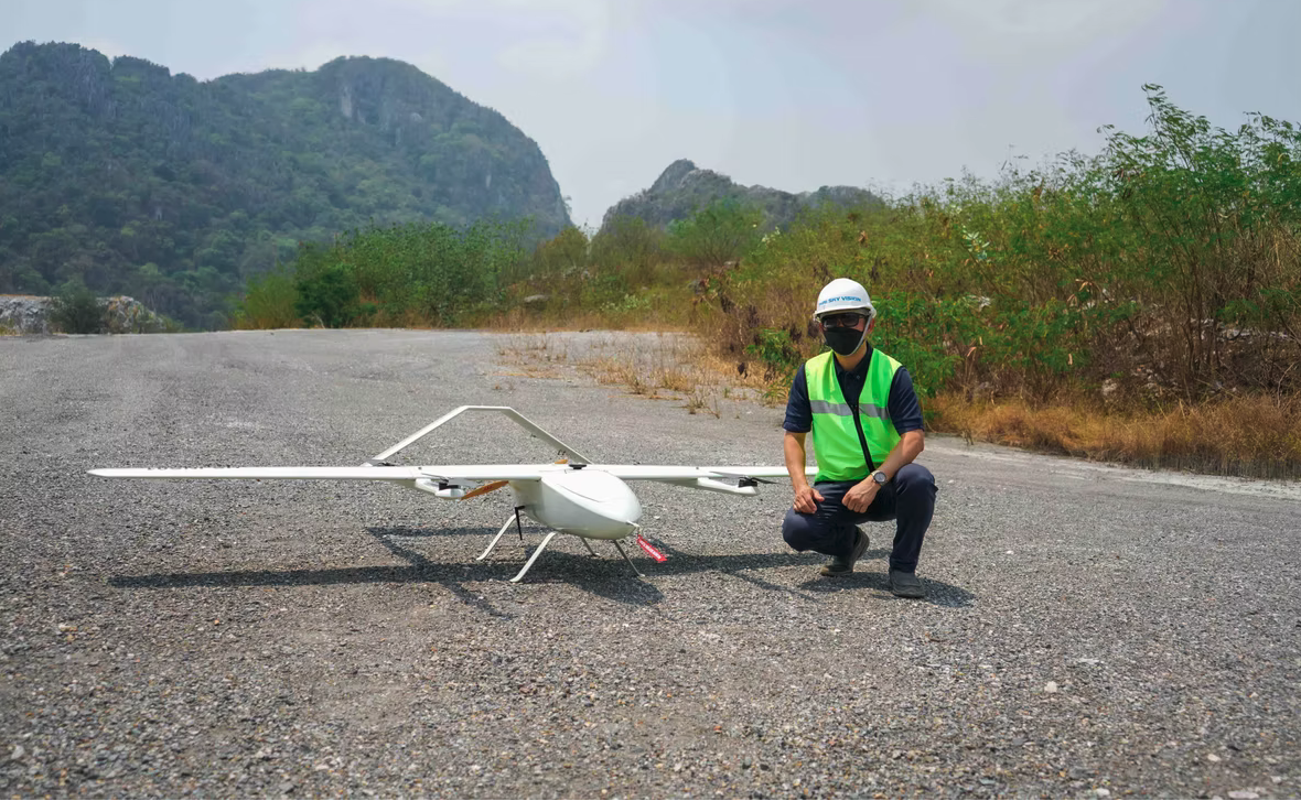
INSEE-320 Prototype
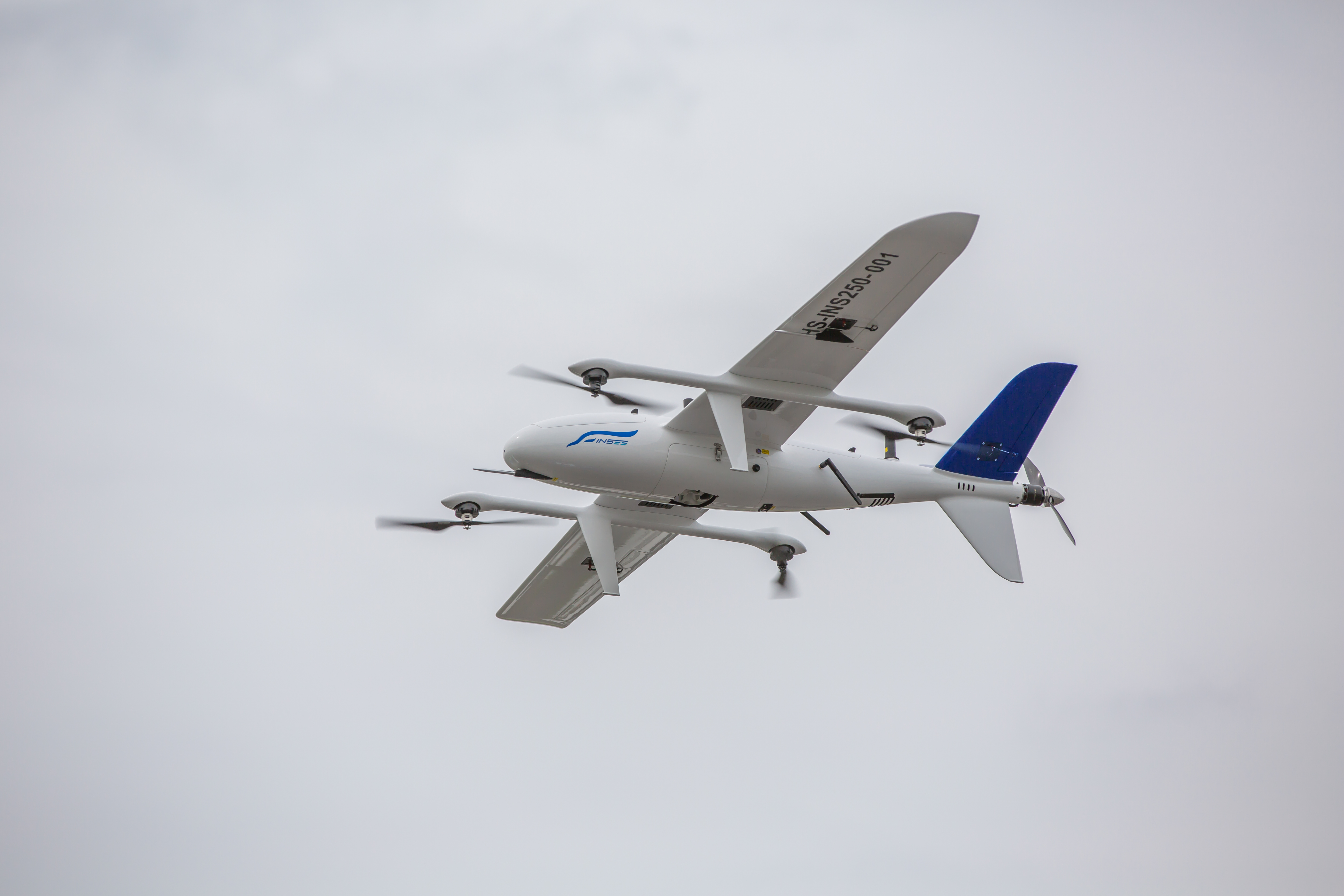
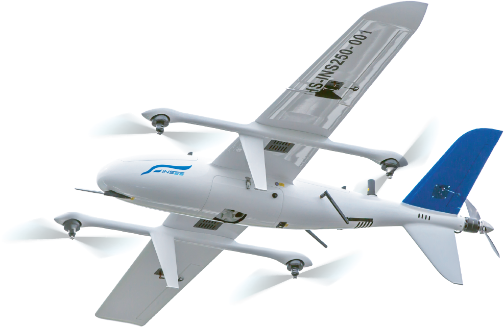
INSEE-250 Gen 001
APAC Expansion
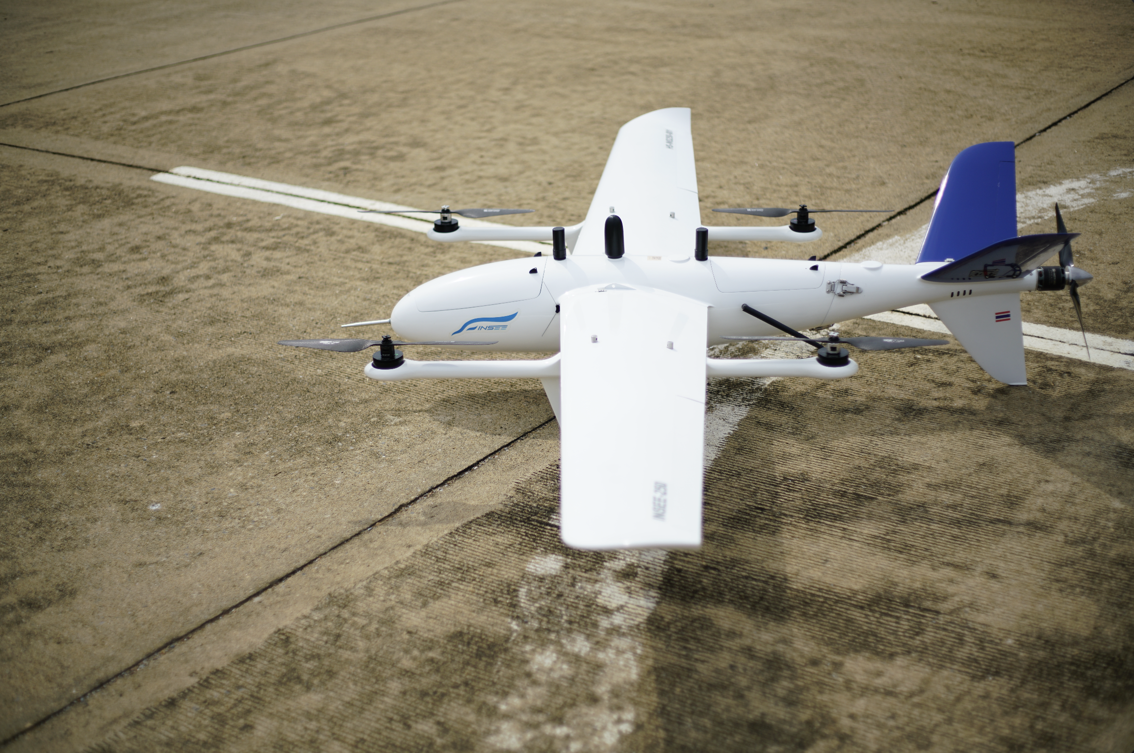
INSEE-250 Gen 003–004
INSEE-250 Defense + INSEE-350
INSEE-250 Gen 006
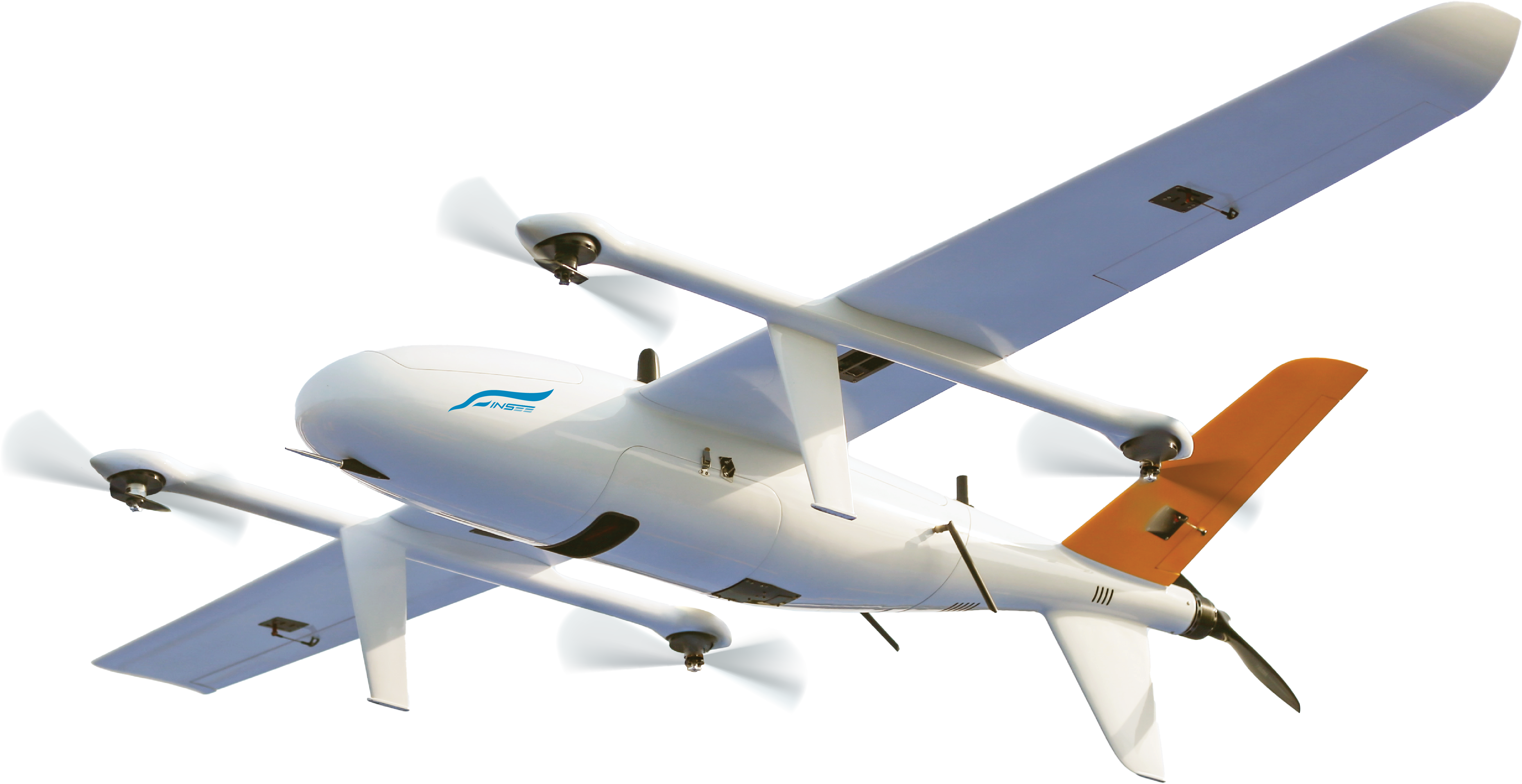
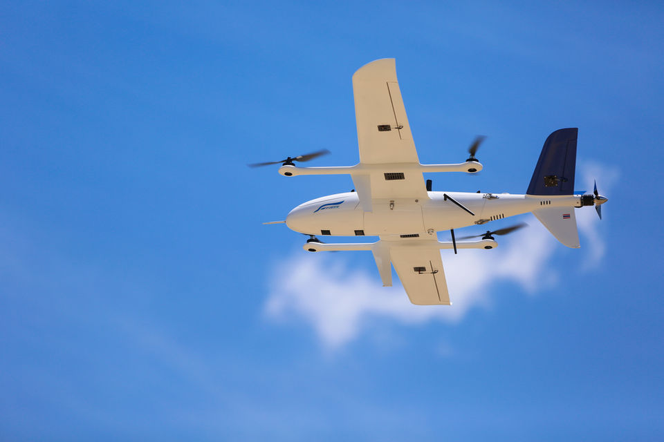
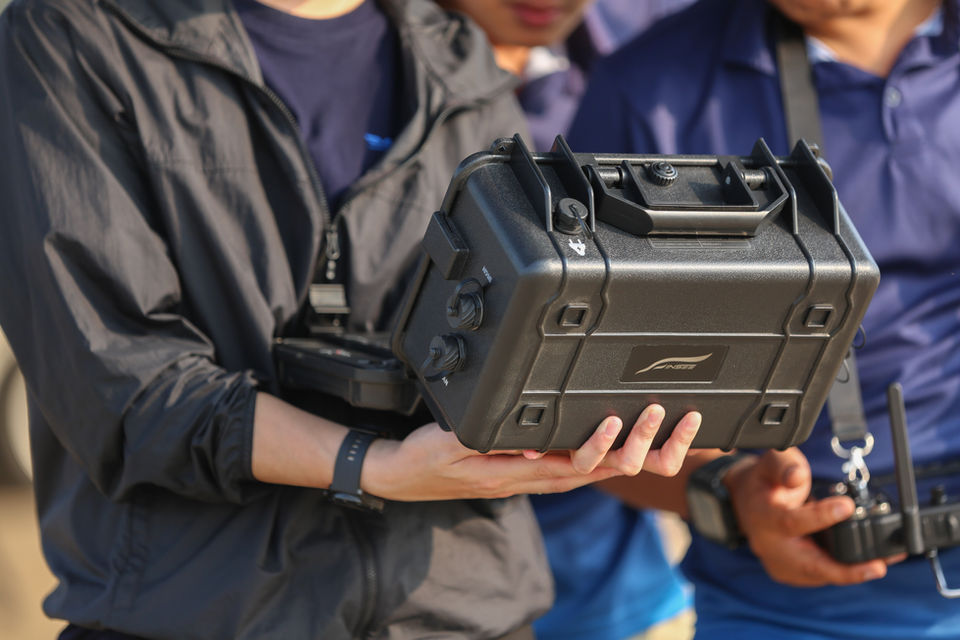
// ECOSYSTEM
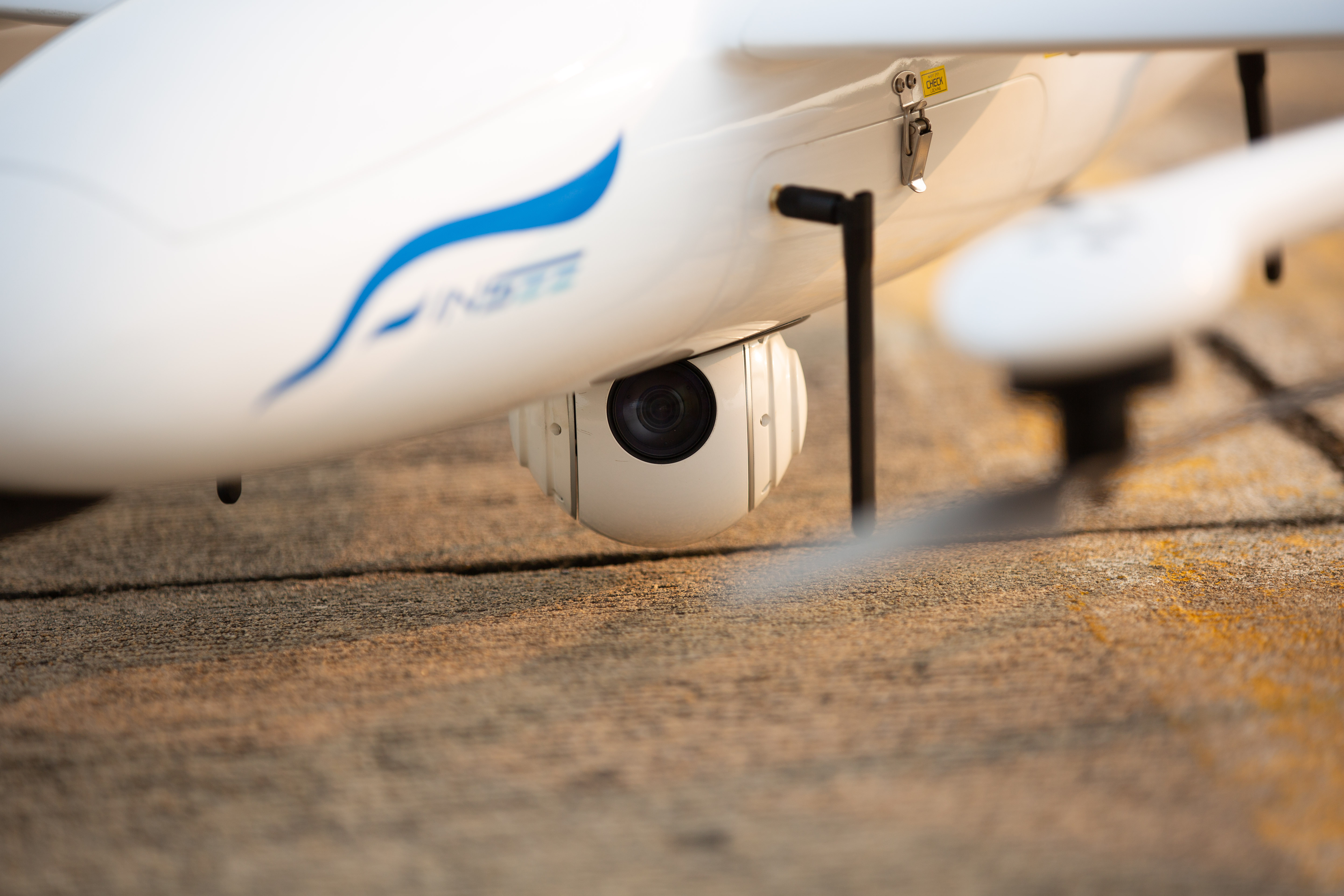
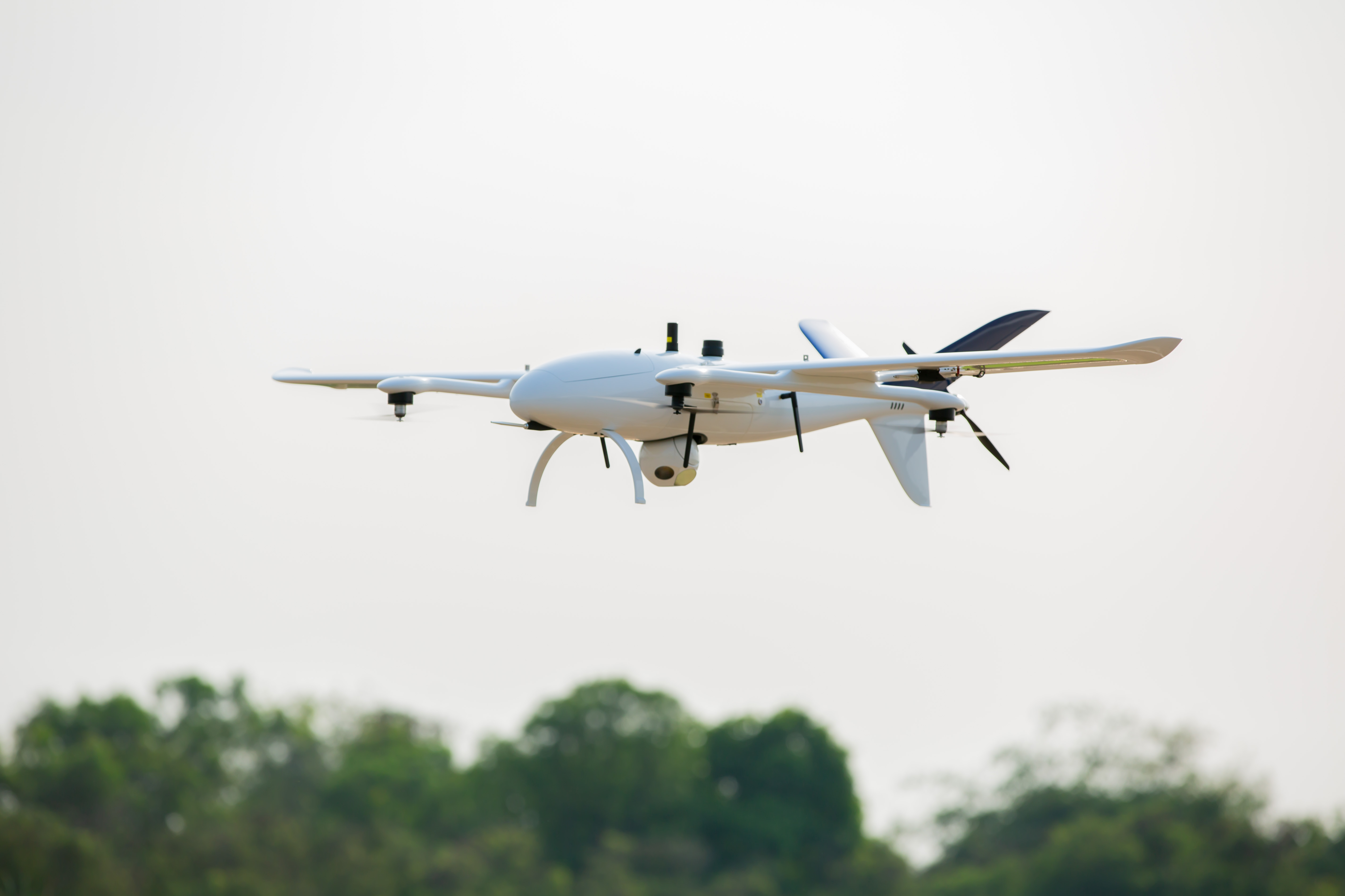
Payload Ecosystem
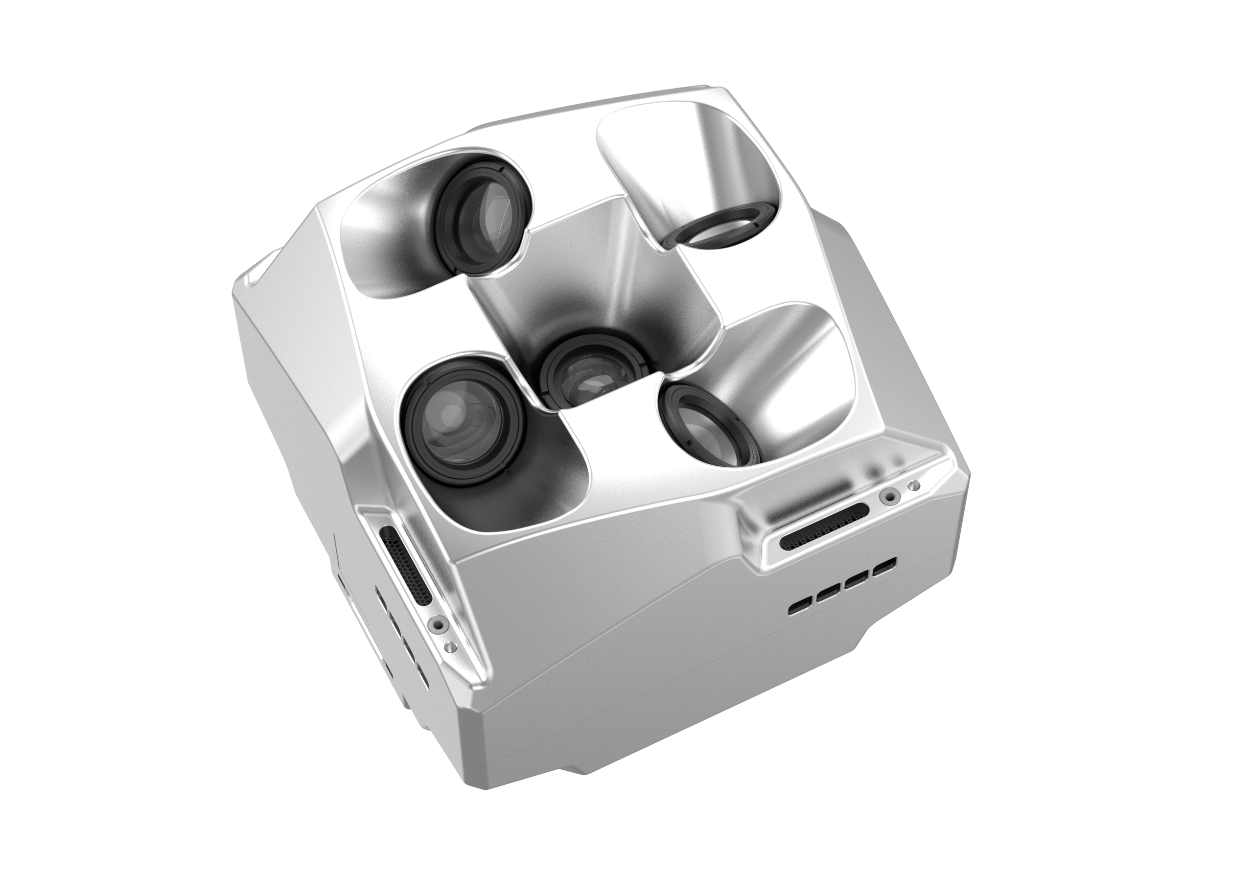
Riebo D2M
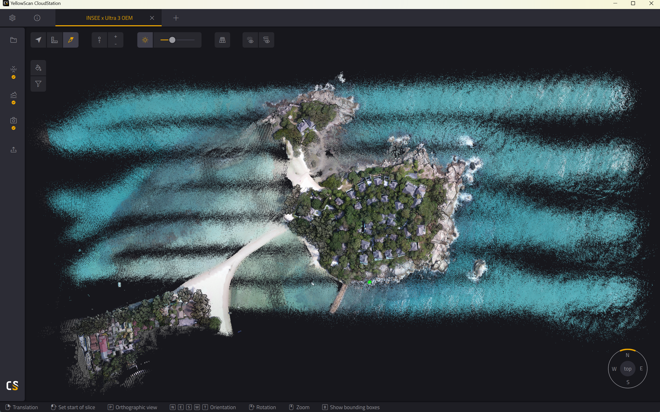
5-lens 130MP oblique camera weighing just 630g. Captures 5 angles simultaneously to build 1:500-accuracy 3D models — ideal for cadastral mapping without GCPs.
Compatible with:
INSEE-250 ✓ INSEE-350 ✓
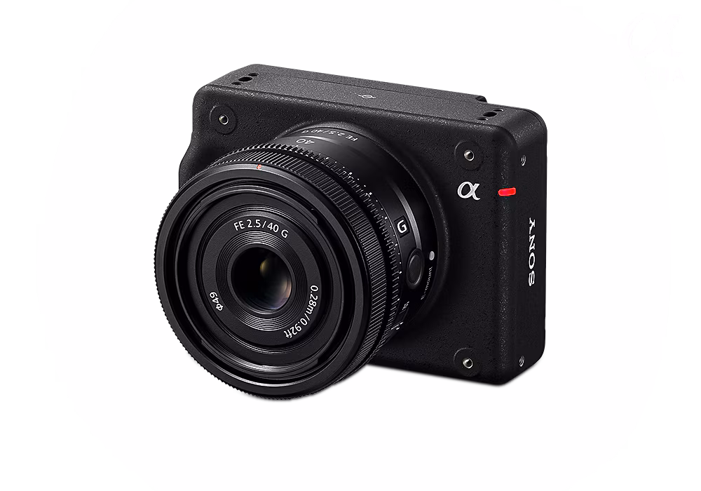
Sony ILX-LR1
Sony's 61MP Full-Frame camera, purpose-built for UAVs. Delivers high-resolution orthophotos for professional photogrammetry and 3D mapping workflows.
Compatible with:
INSEE-250 ✓ INSEE-350 ✓
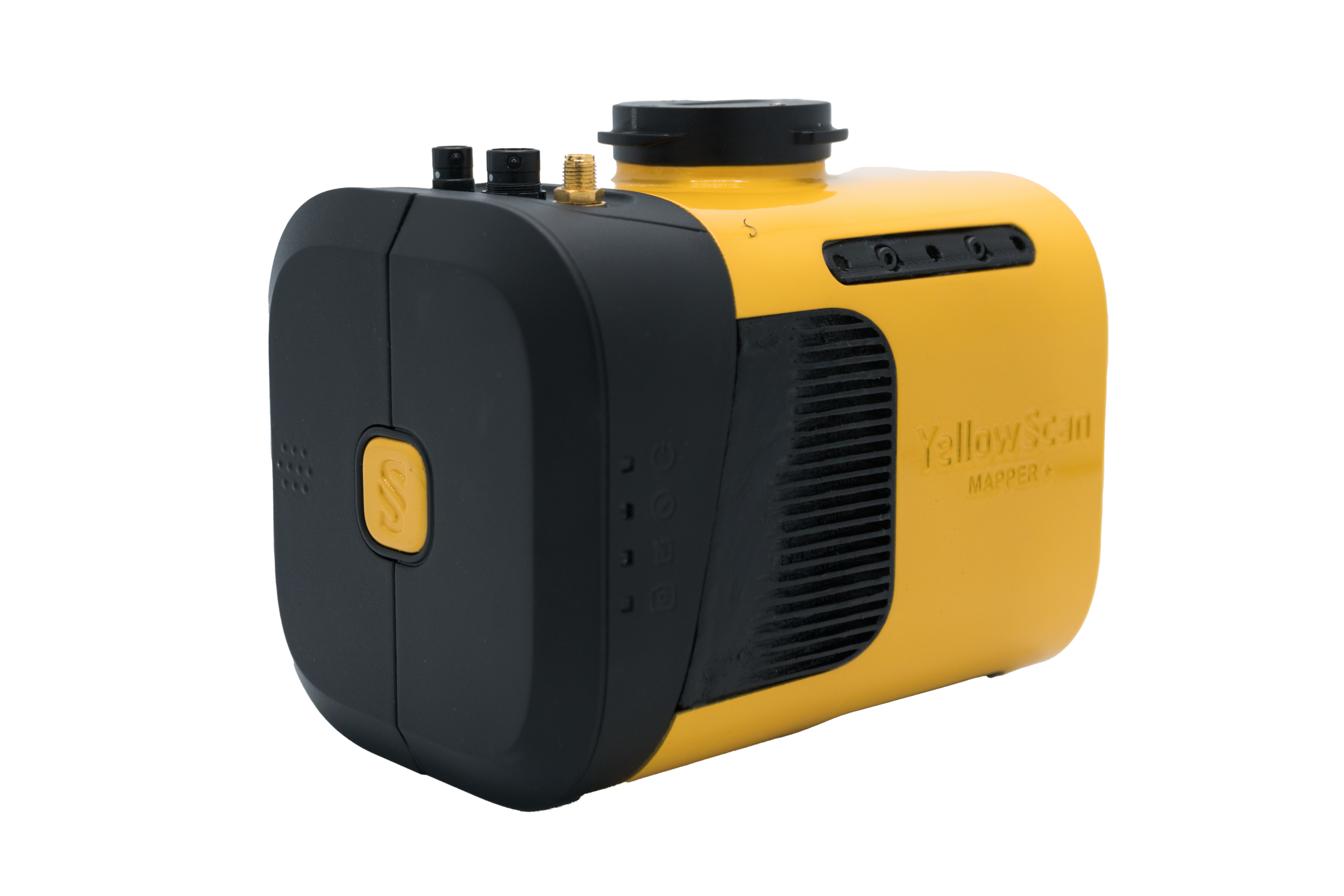
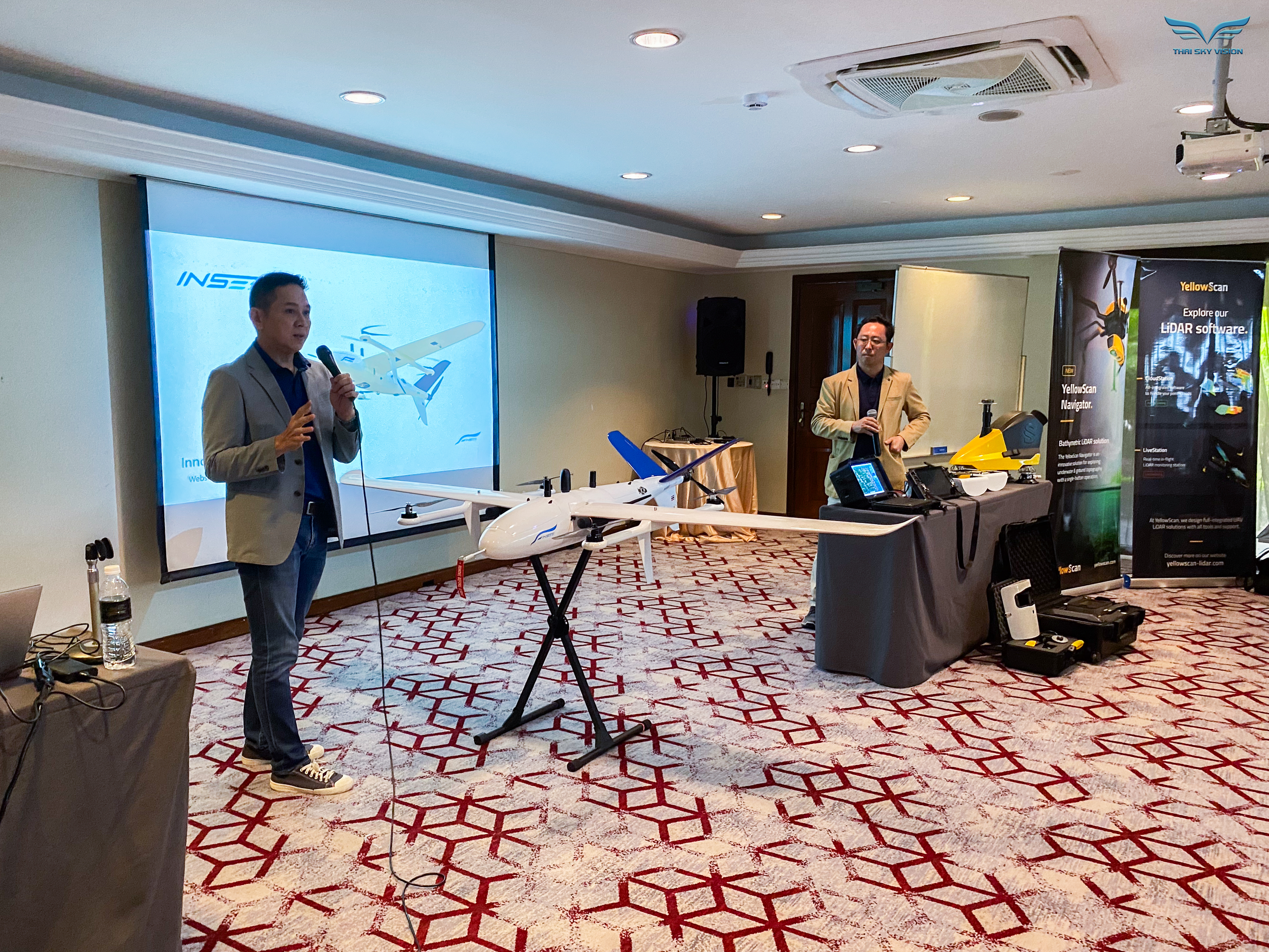
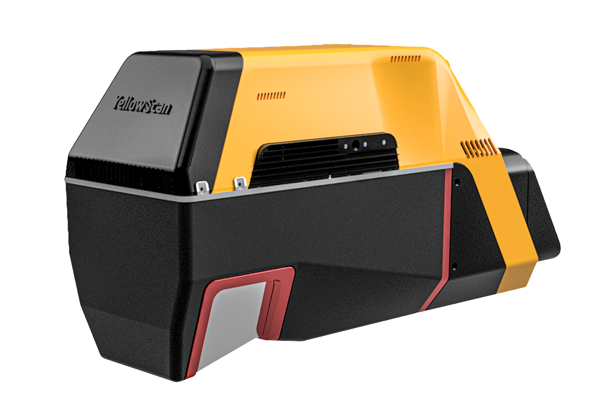
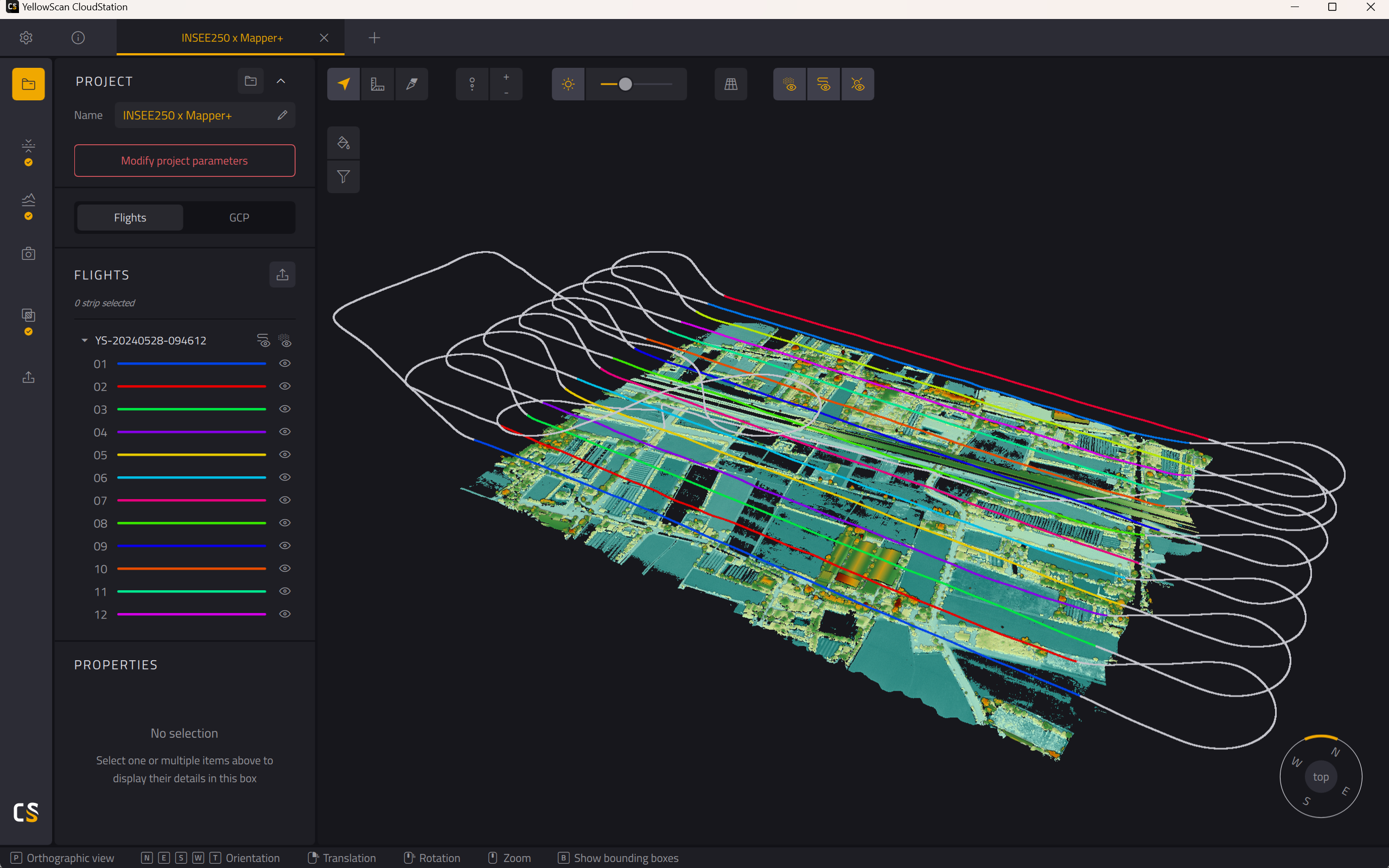
YellowScan Mapper+
via Thai Sky Vision · Official Distributor
Lightweight OEM LiDAR purpose-built for Fixed-Wing UAVs. Produces high-density point clouds — ideal for terrain mapping and corridor survey.
Compatible with:
INSEE-250 ✓
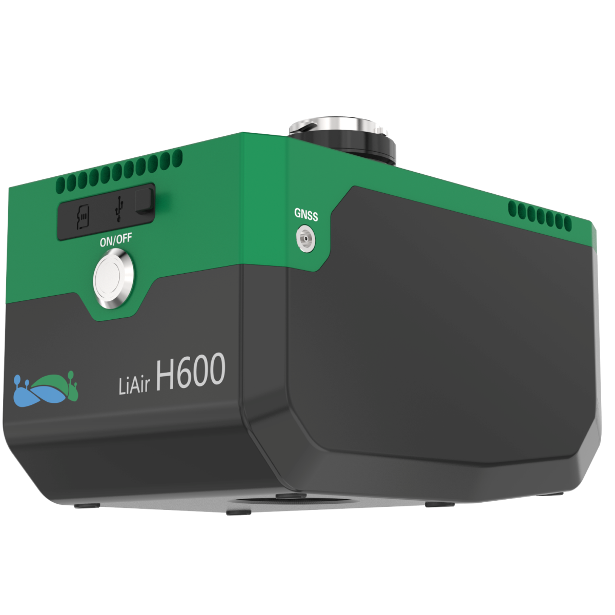
GVI LiAir H600
LiDAR system weighing just 1.3kg with an integrated 26MP camera. Up to 750m range, <5cm accuracy, 7-return capability — penetrates forest canopies for forestry and terrain mapping.
Compatible with:
INSEE-250 ✓ INSEE-350 ✓
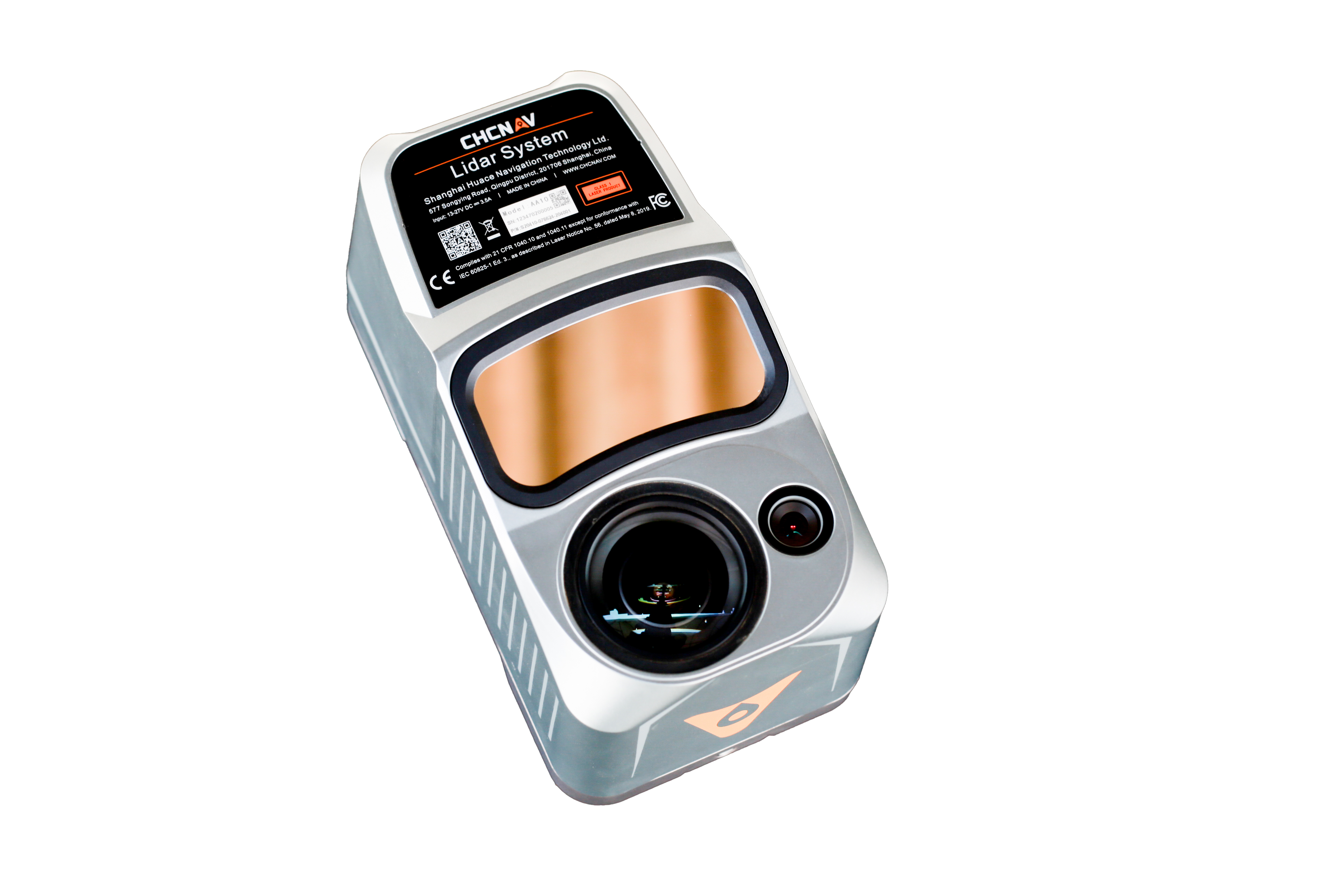
CHCNav AlphaAir 10
All-in-one 1.55kg LiDAR + RGB system combining LiDAR, GNSS, IMU and a 45MP camera in one unit. 2–5cm accuracy, 500,000 points/second, 8-return capability — cuts through dense canopy.
Compatible with:
INSEE-250 ✓ INSEE-350 ✓
YellowScan Voyager
via Thai Sky Vision · Official Distributor
High-performance LiDAR from YellowScan, engineered for Fixed-Wing UAVs. Covers wide areas in a single flight — ideal for forest survey, corridor mapping and large-scale terrain.
Compatible with:
INSEE-350 ✓
// APPLICATIONS
What We Do
INSEE UAV is engineered for a wide range of missions — from professional survey to defense and security.
Orthophoto Production
High-accuracy aerial imagery maps and digital elevation models.
LiDAR Mapping
High-density point cloud scans for engineering and planning workflows.
GCP-Free Survey
Survey wide areas without ground control points — powered by PPK.
Mission-Grade
Communication Security
Advanced Anti-Jamming
FHSS frequency hopping to ensure link stability in hostile RF environments.
Enterprise Encryption
AES-256 end-to-end encryption for telemetry and video streams.
ACTIVE: AES-256
THREAT LEVEL: NOMINAL
// REFERENCES
Our Work
Real-world references from survey missions across Thailand.
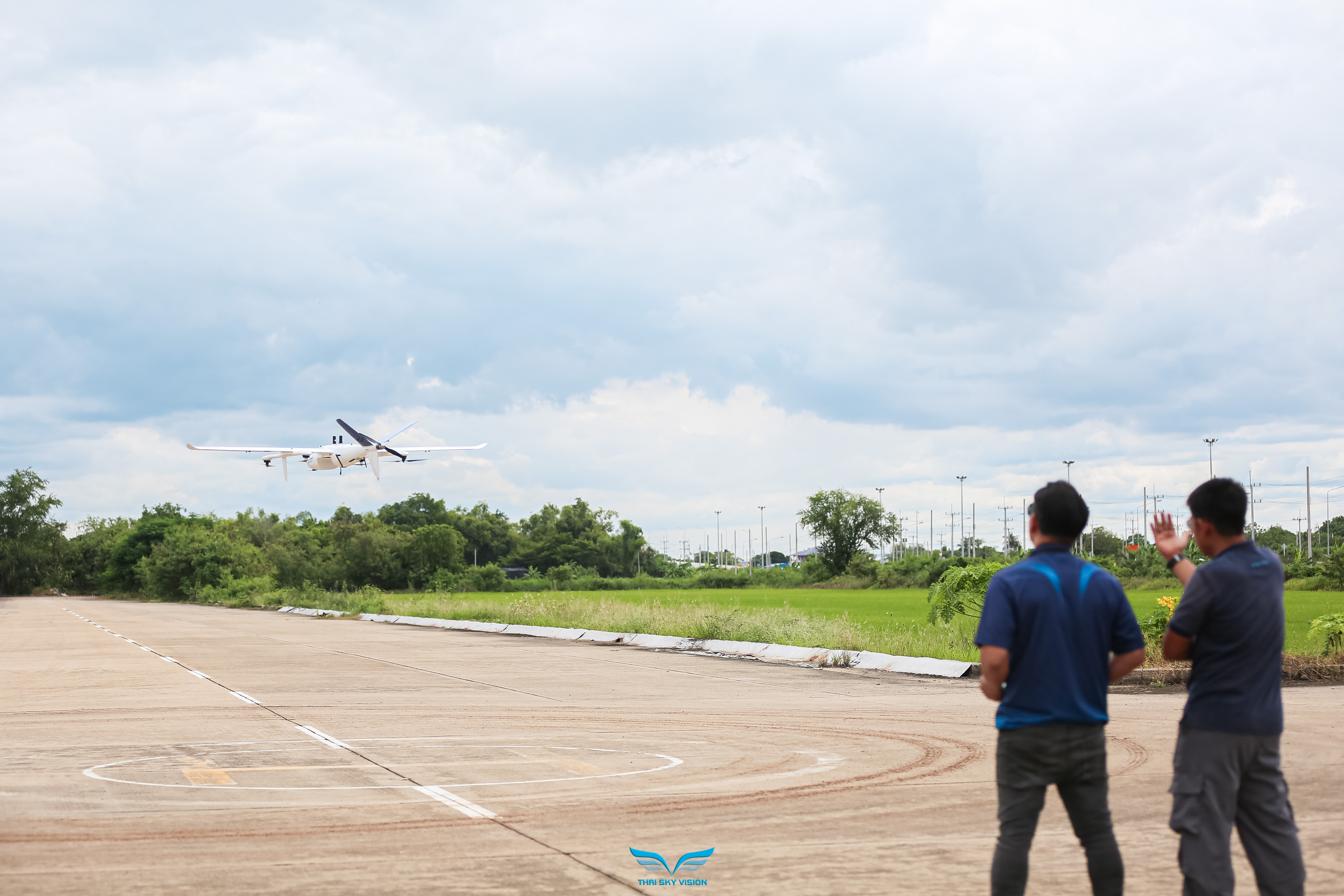
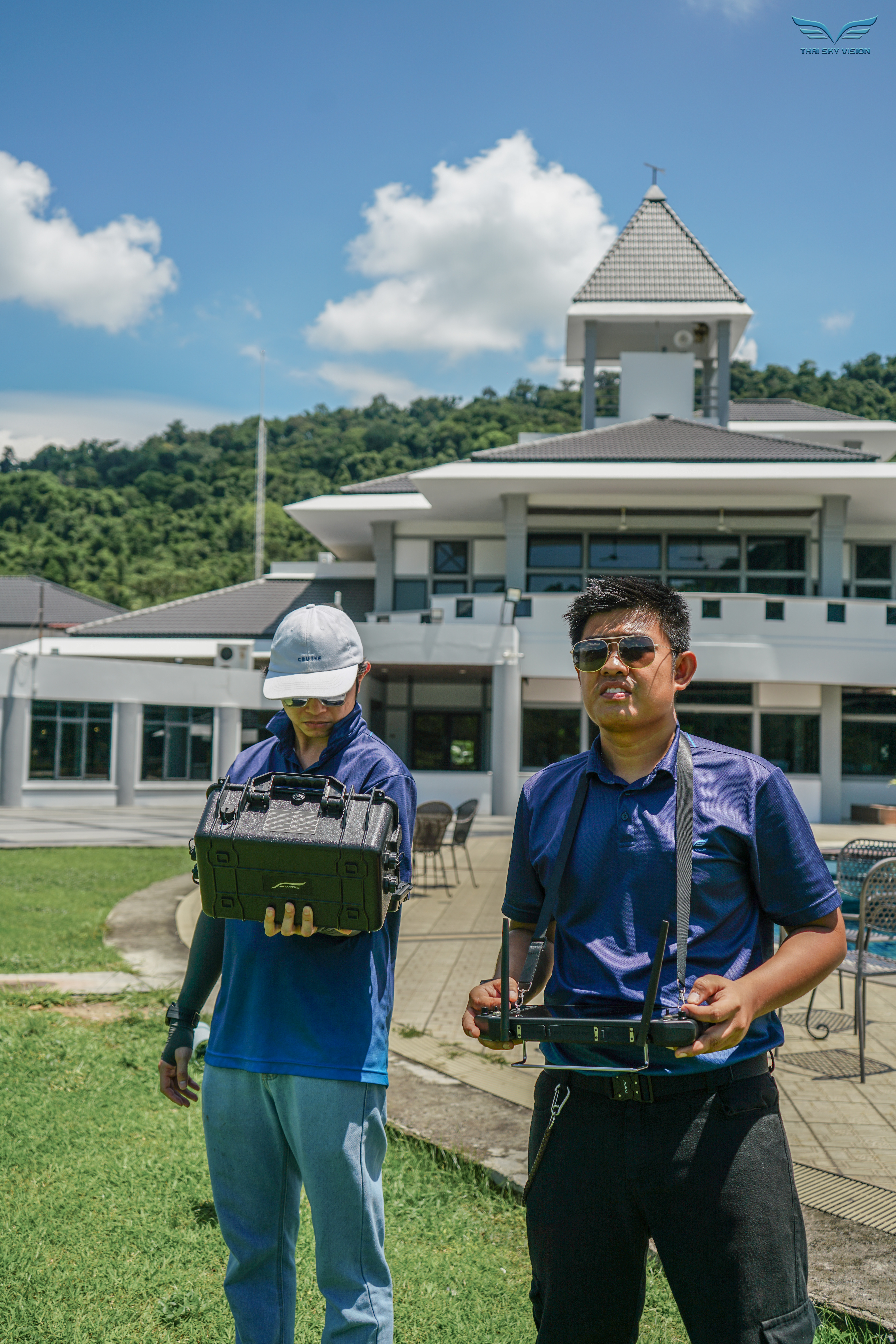
Golf Course LiDAR Survey
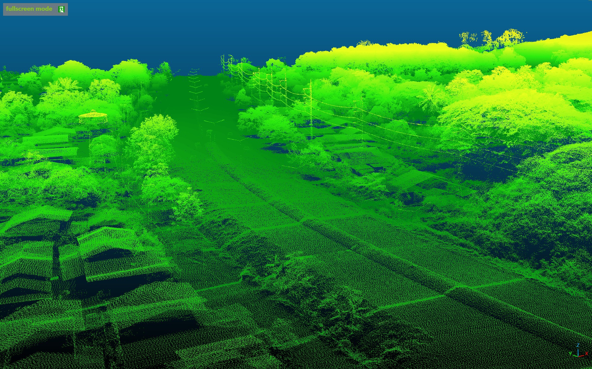
Long-Range LiDAR Mapping
Terrain & Topographic Survey
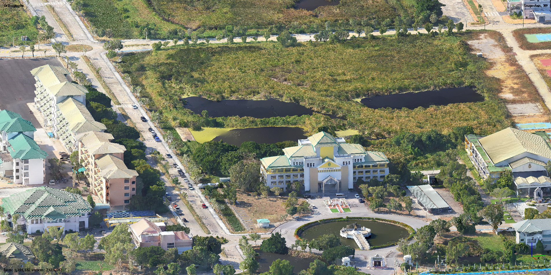
3D Oblique Photogrammetry
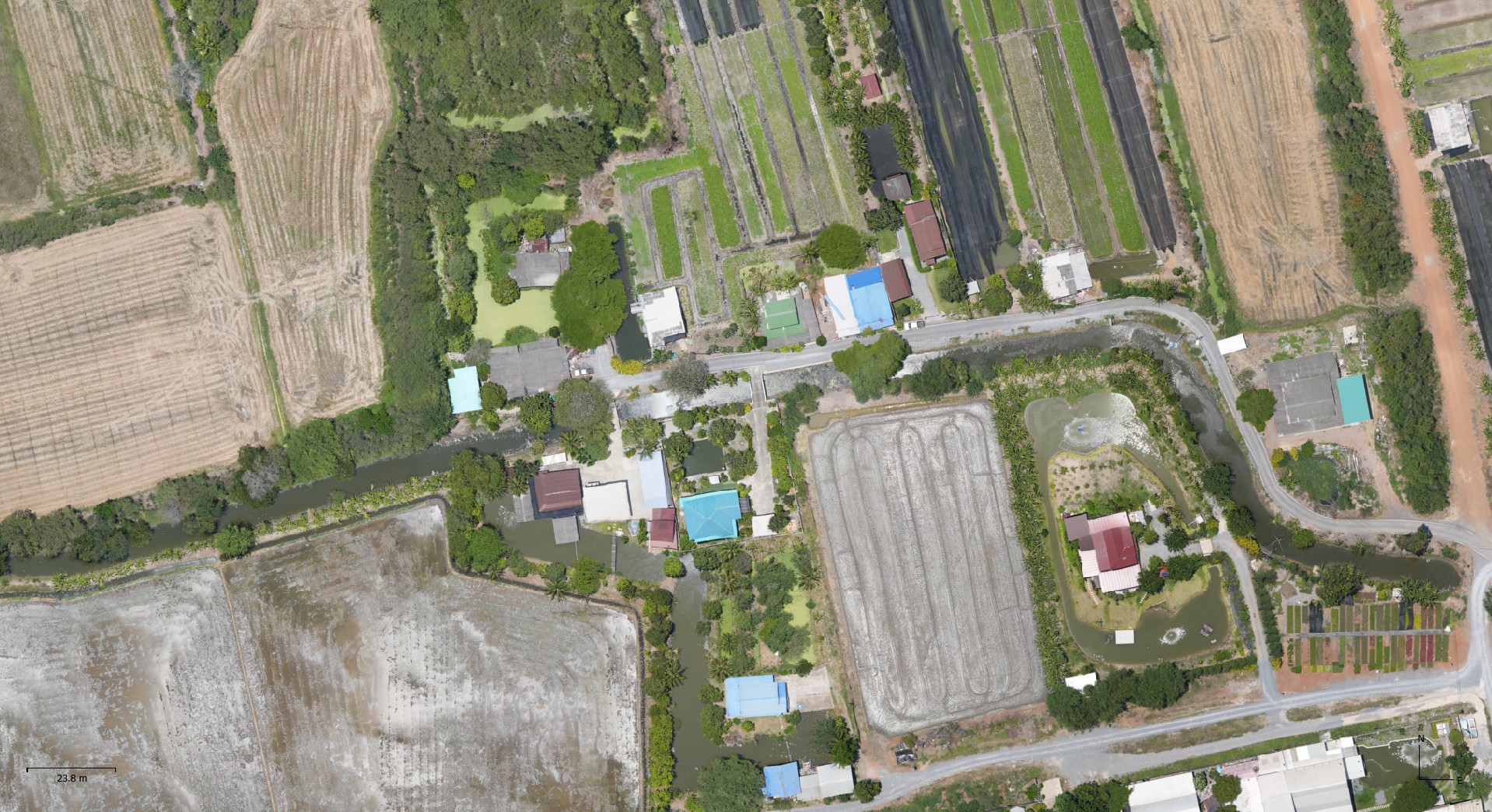
High-Res Orthophoto Production
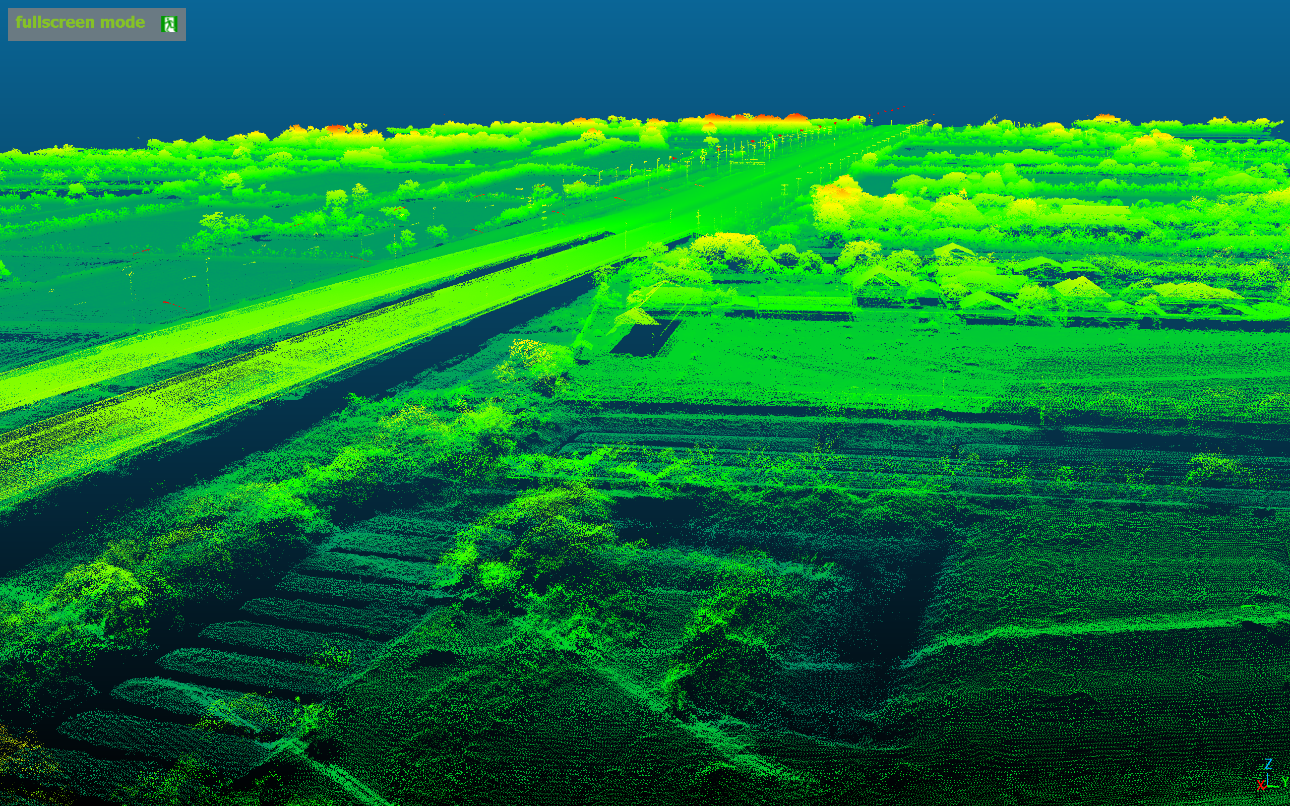
LiDAR + RGB Corridor Mapping
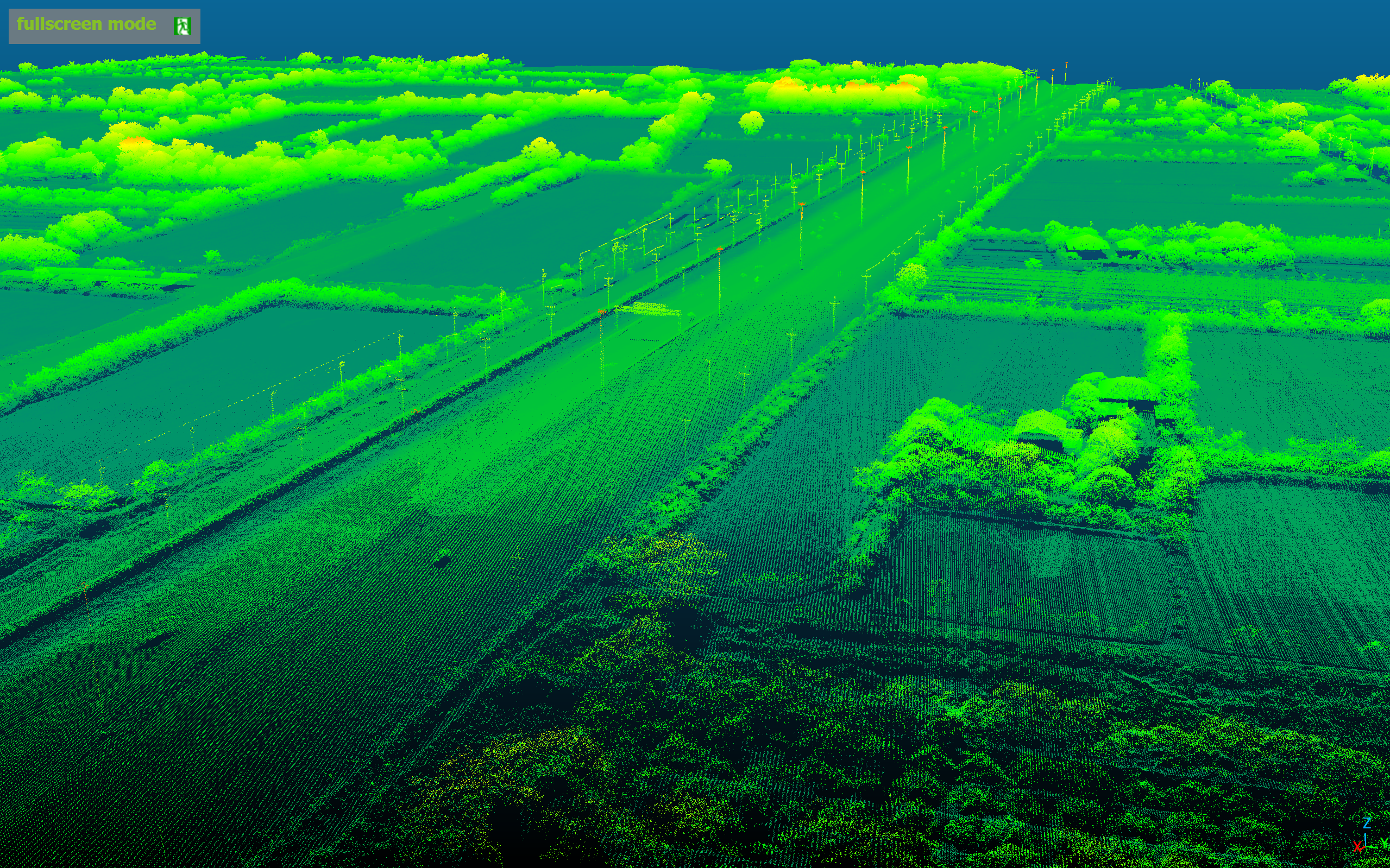
Large-Scale LiDAR Terrain Mapping
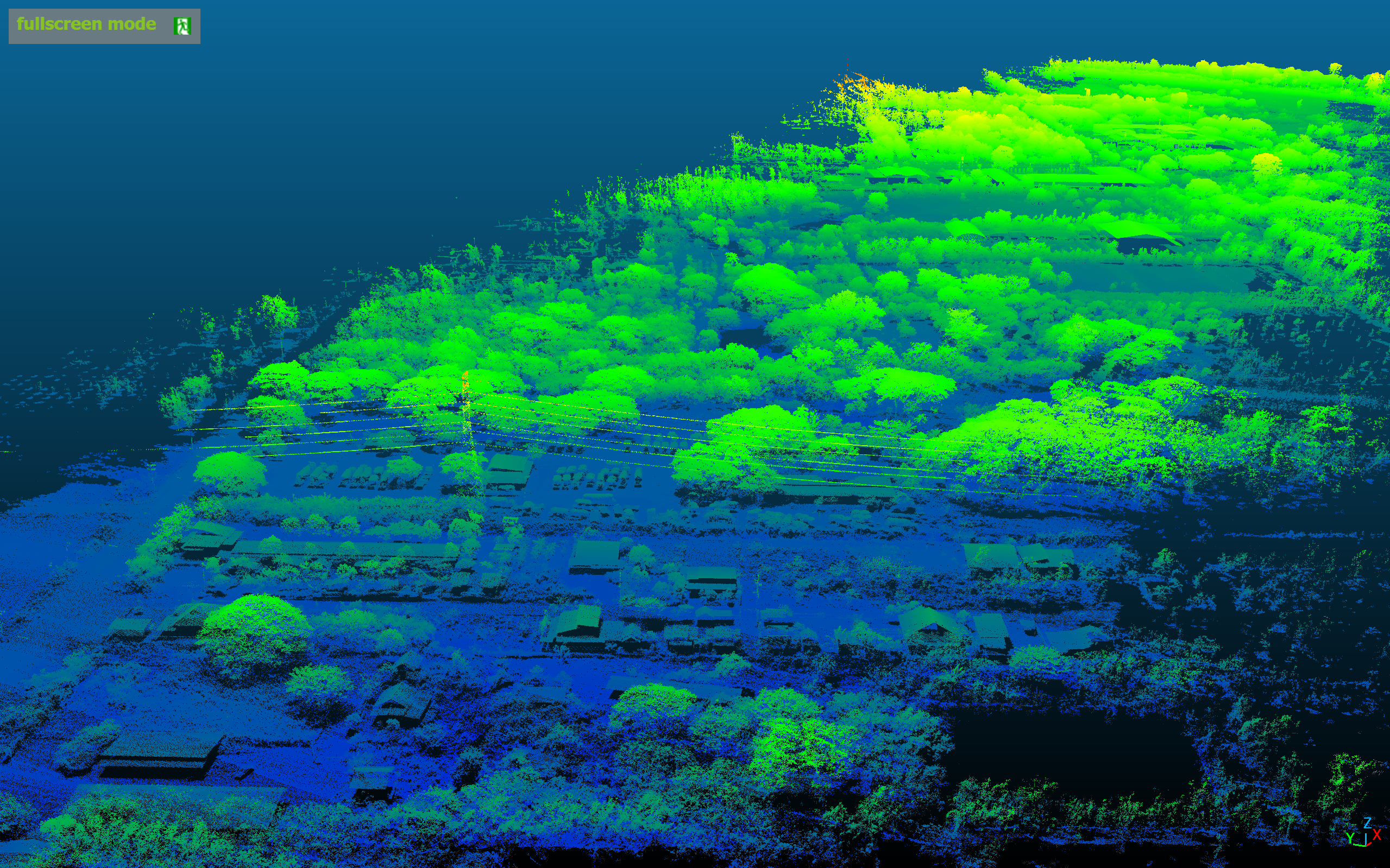
Forest & Complex Terrain Survey
// BRAND CHARACTER
Meet Alex
The Guardian of INSEE UAV

Alex — Guardian of the Skies
Angels mean powerful guardians who protect those they watch over. The yellow crystal ball acts as a beacon that guides every mission safely home.
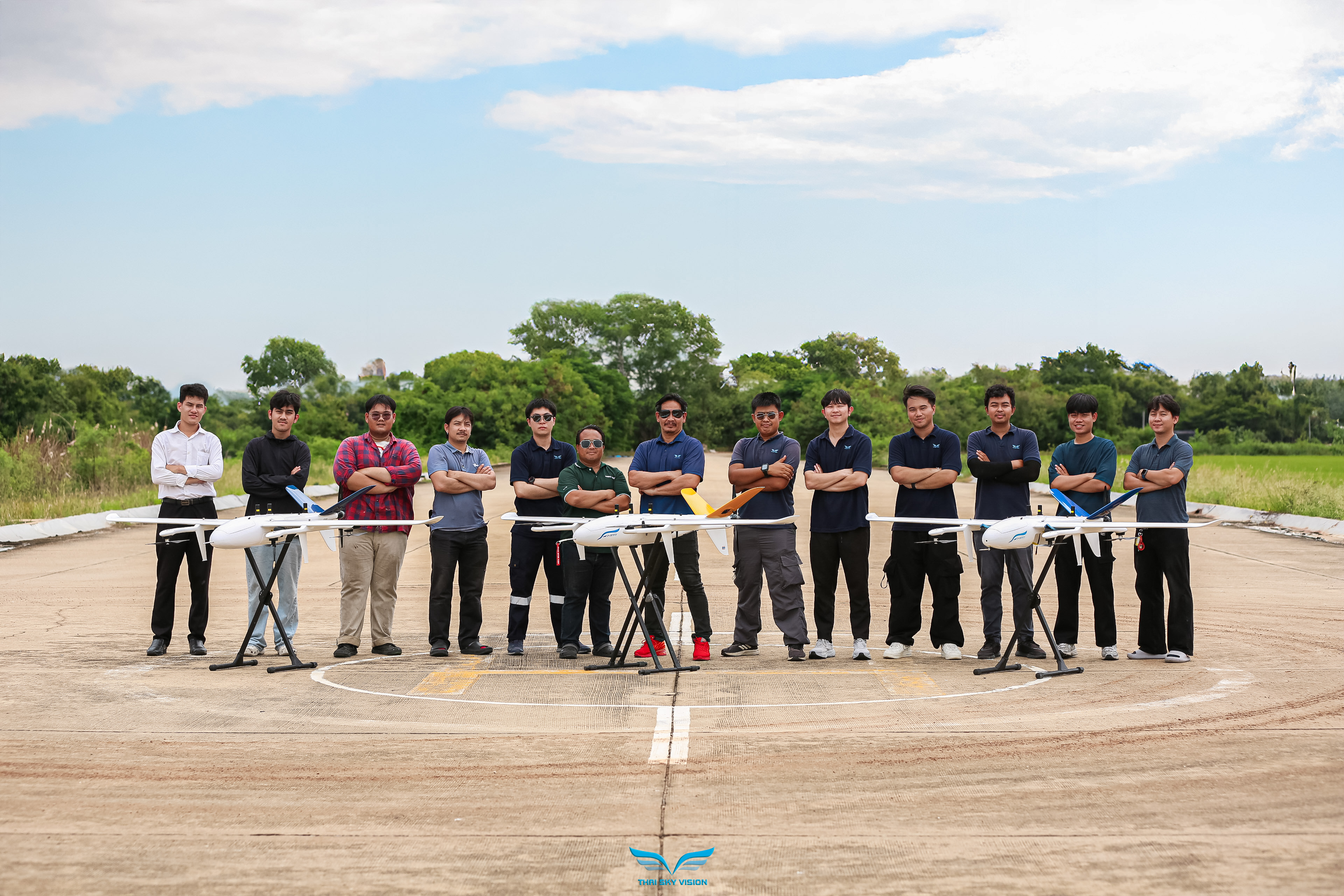
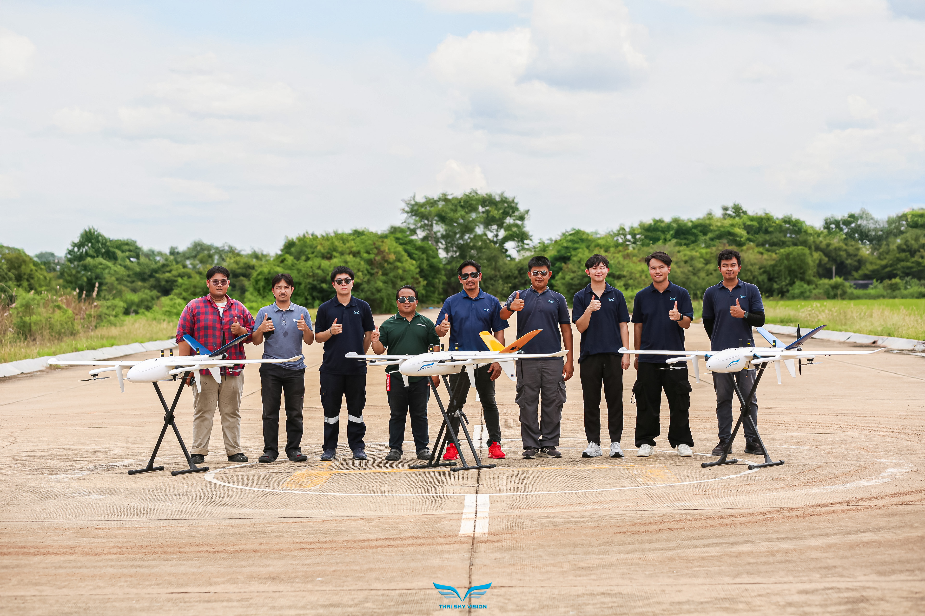
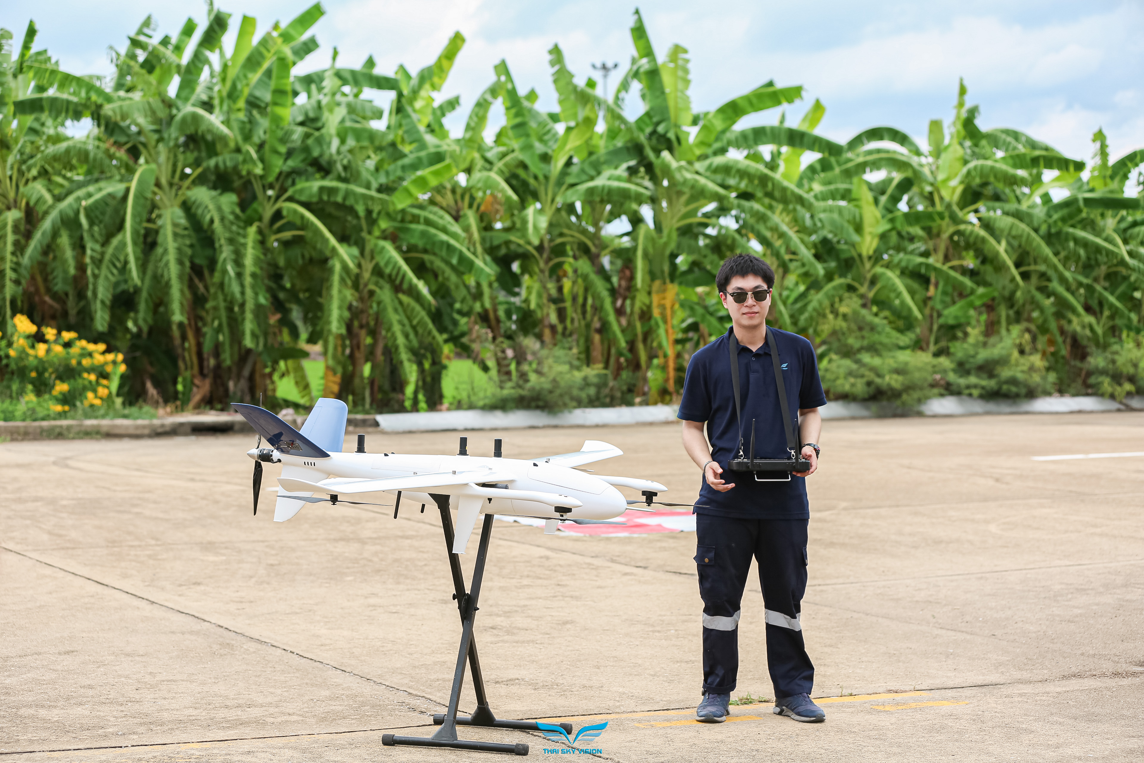
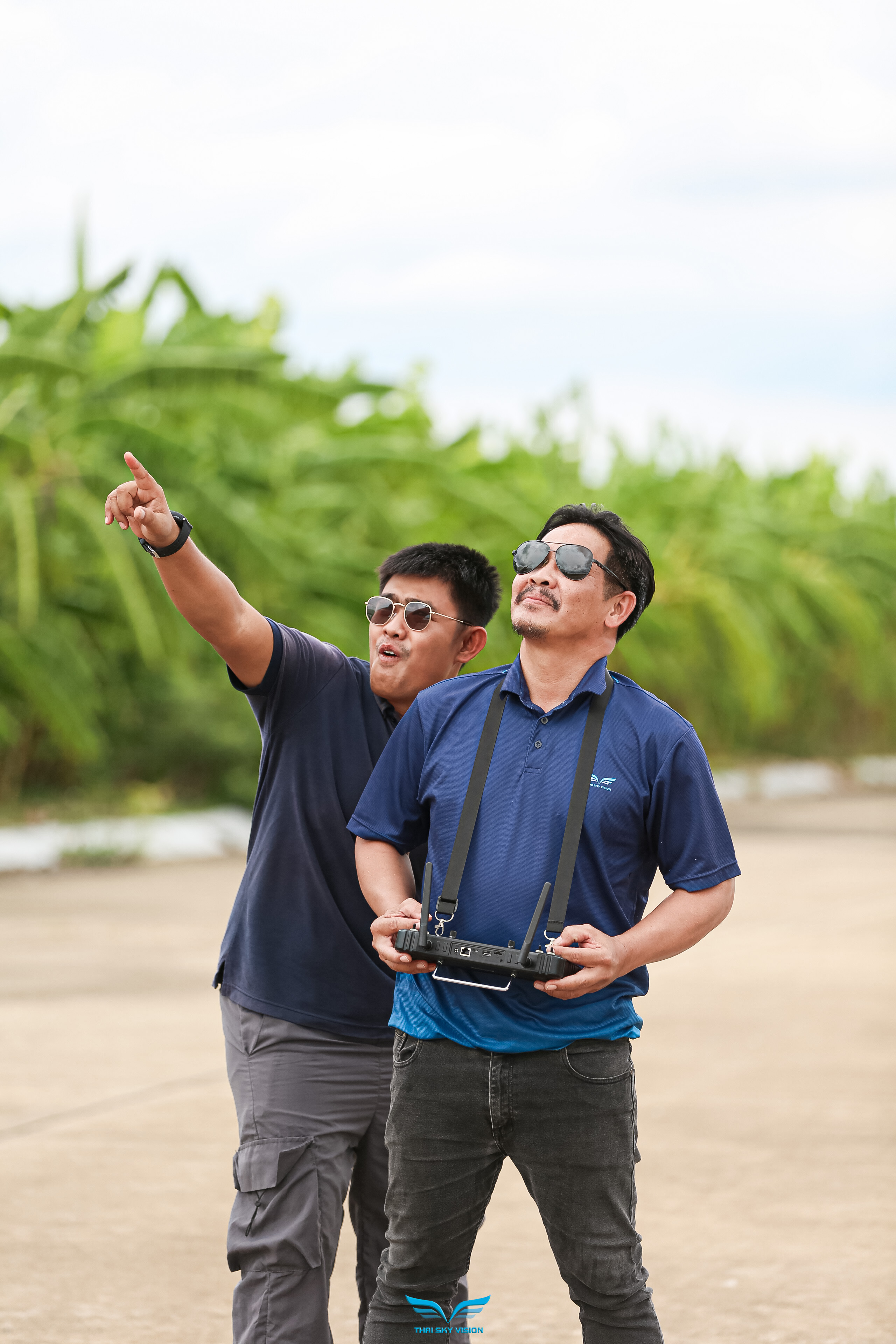
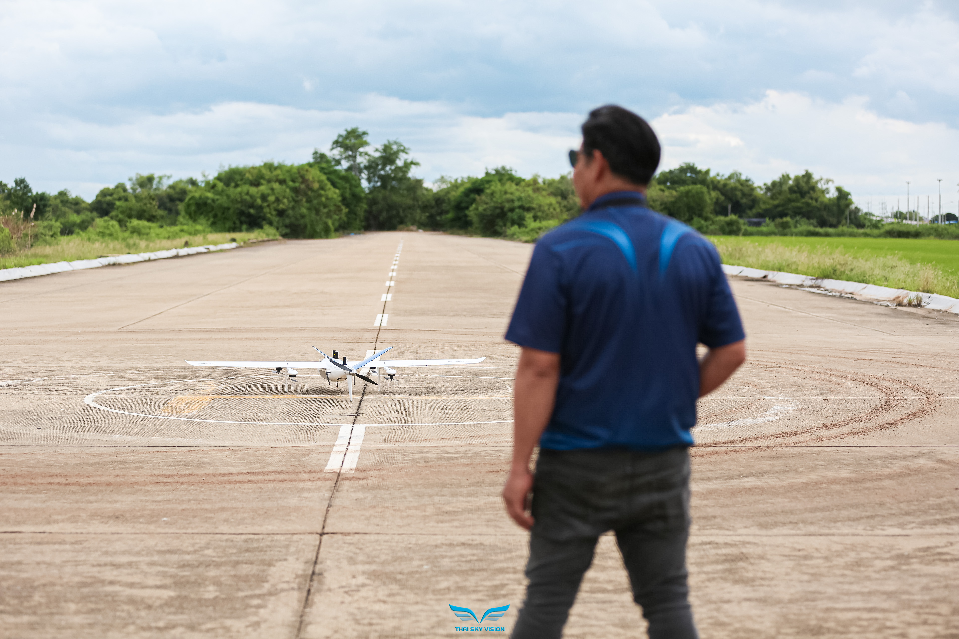
// THE PEOPLE
Meet the Team
// CONTACT
Get In Touch
Headquarters
160/546-547, 24th Floor, ITF Silom Palace
Silom Road, Suriyawong, Bang Rak
Bangkok 10500, Thailand