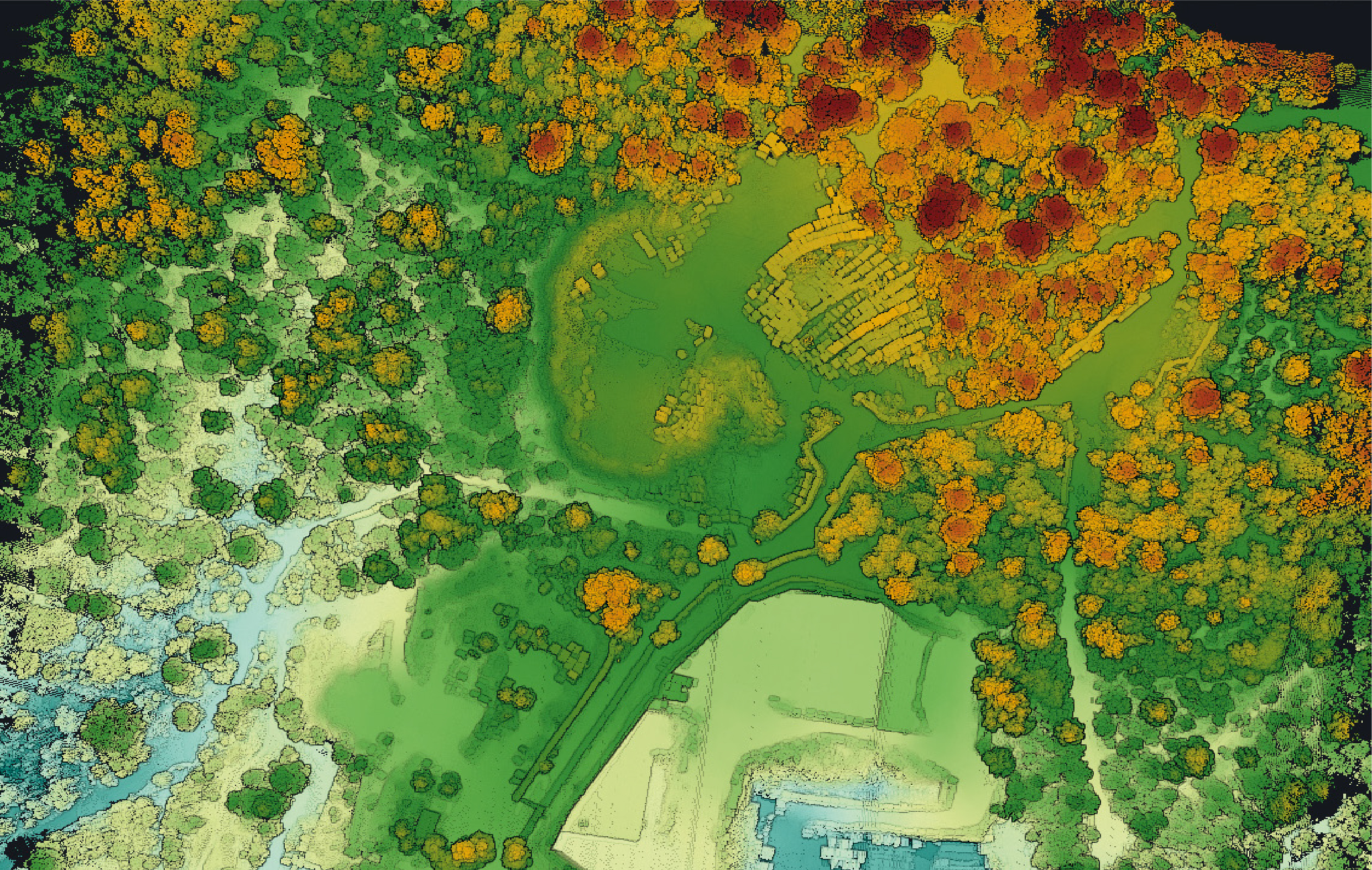
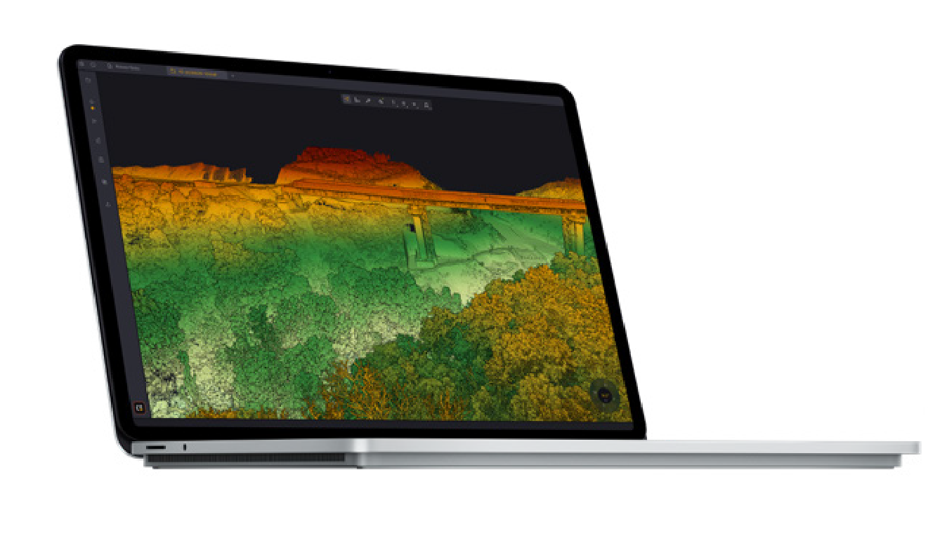
Generate &
Visualize Point Clouds
Generate and visualize Point Clouds immediately after flight — automatic LiDAR Strip detection with advanced Visualization tools, EDL Filter and Measurement Tools.
Strip Adjustment
One-Click
Align LiDAR Strips automatically — state-of-the-art algorithms with Ground Control Points (GCPs) support and Strip Adjustment Report.
Colorize &
Classify
Colorize Point Clouds from imagery or Orthophoto — Automatic Classification for Ground/Non-Ground separation with DTM, DSM and DHM Export.
Floating License
Offline Ready
Install on multiple machines with a Floating License — run offline for up to 30 days, ideal for field work, with automatic updates.
Processing & Export.
Processing & Export
Analysis & Visualization
CloudStation
Visualize, inspect, colorize from orthophotos, export — 15 features included. Perfect for basic processing and visualization.
CloudStation
All Essential features PLUS: Robust Strip Adjustment, Precise Adjustment, GCP-constrained, Classification, Contour Lines, Export DTM/DSM/DHM/Hillshade, Automated Trajectory QC
CloudStation
All Pro features PLUS: YTK Command Line / Batch Processing, Orthophoto Generation, Fullwave LAS Generation — Complete automation power.
Ready to process LiDAR data like a pro
with CloudStation?
Contact Thai Sky Vision, the Official YellowScan Distributor in Thailand — get expert advice on software, licensing and full After-Sales Support.
Thai Sky Vision Co., Ltd. — Official YellowScan Distributor in Thailand