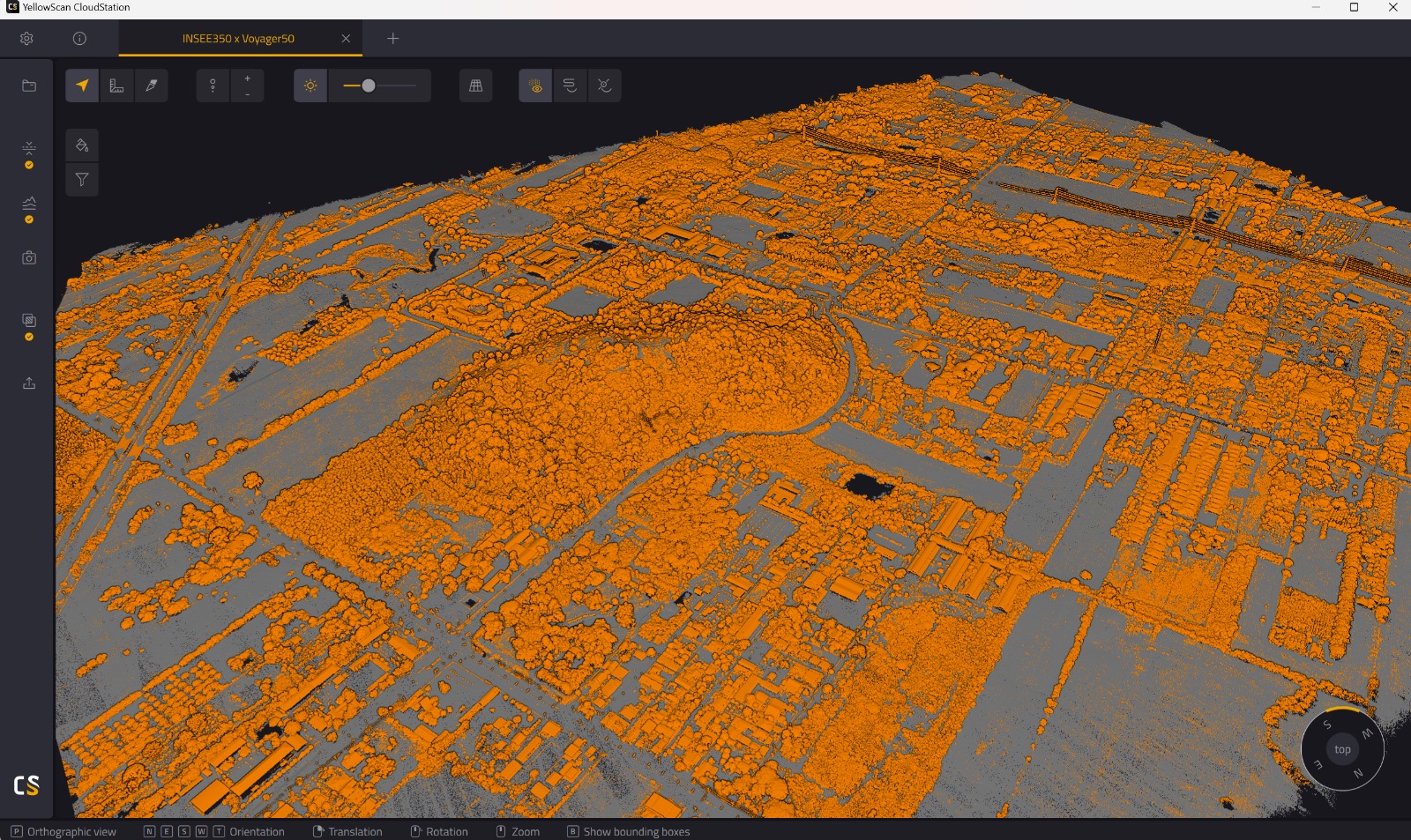
LiDARINSEE-350
YellowScan Voyager
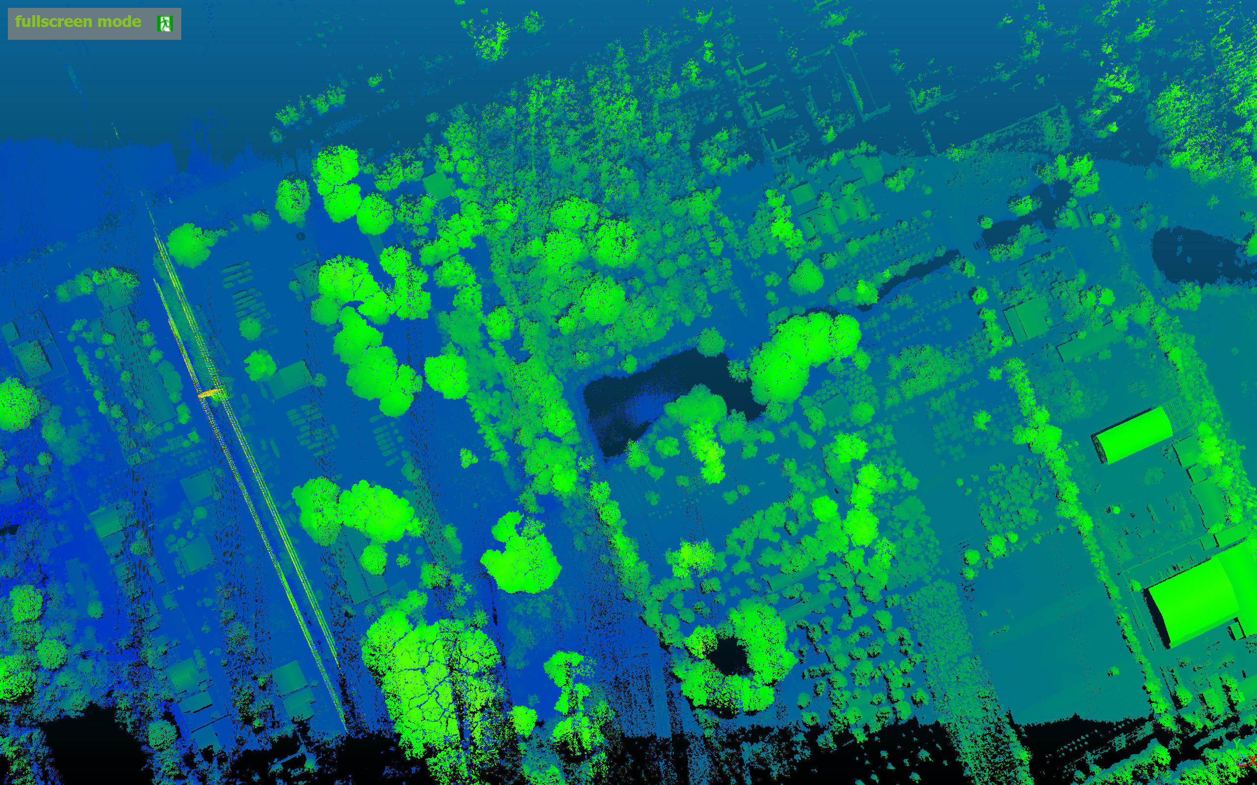
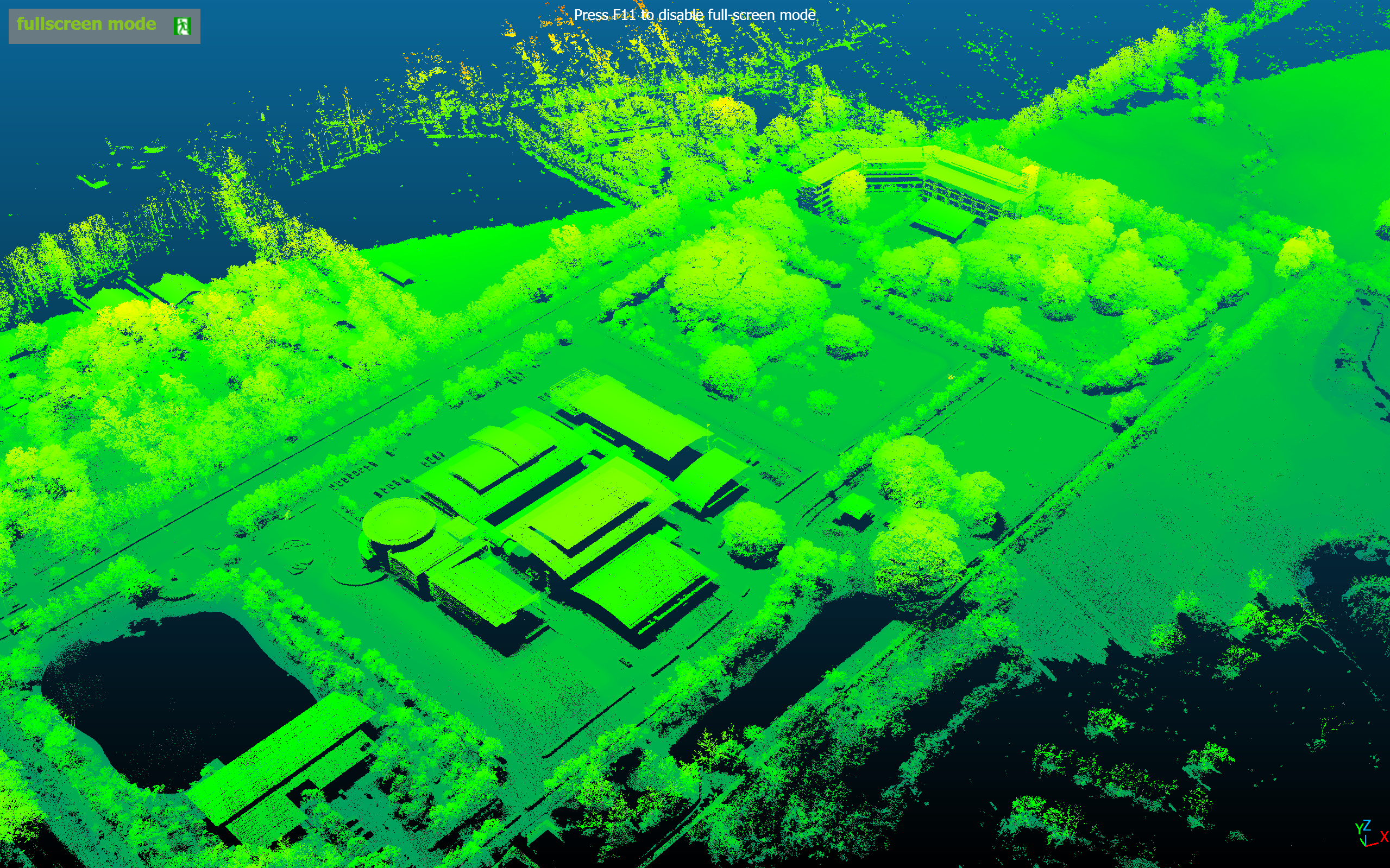
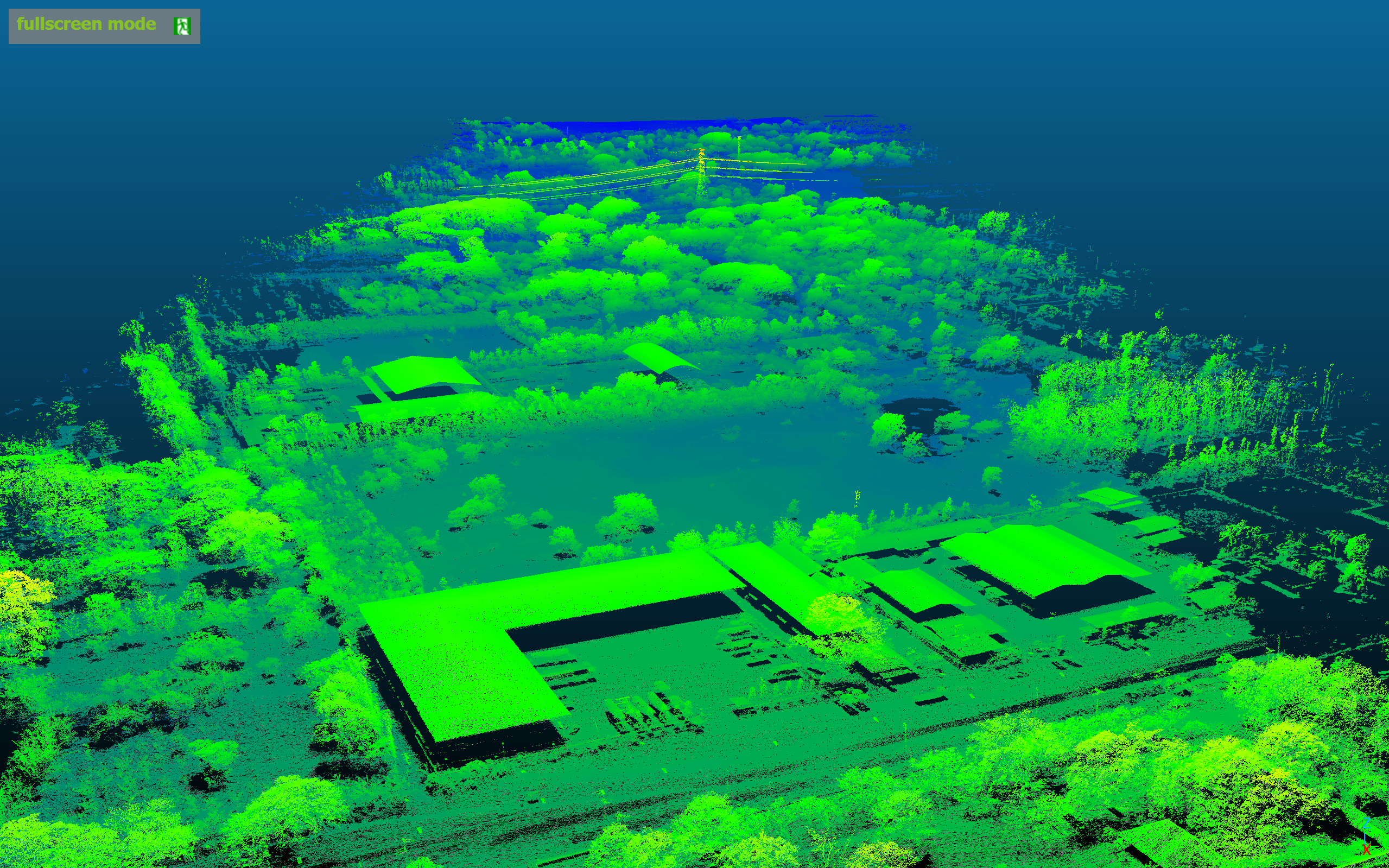
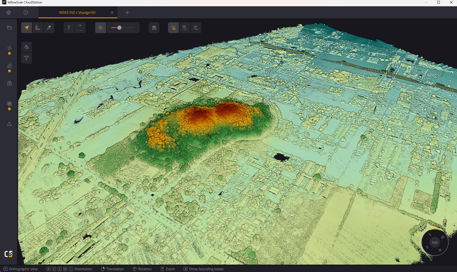
Forest & Complex Terrain Survey
ภารกิจสำรวจป่าและภูมิประเทศซับซ้อน ด้วย YellowScan Voyager Long-Range LiDAR
Project Specifications · ข้อมูลภารกิจ
hourglass_top
Coming Soon · รอข้อมูลจากทีม
ALTITUDE
—
CAMERA
—
FLIGHT TIME
—
AREA SURVEYED
—
DRONE
—
WIND SPEED
—
TEMPERATURE
—
LOCATION
—
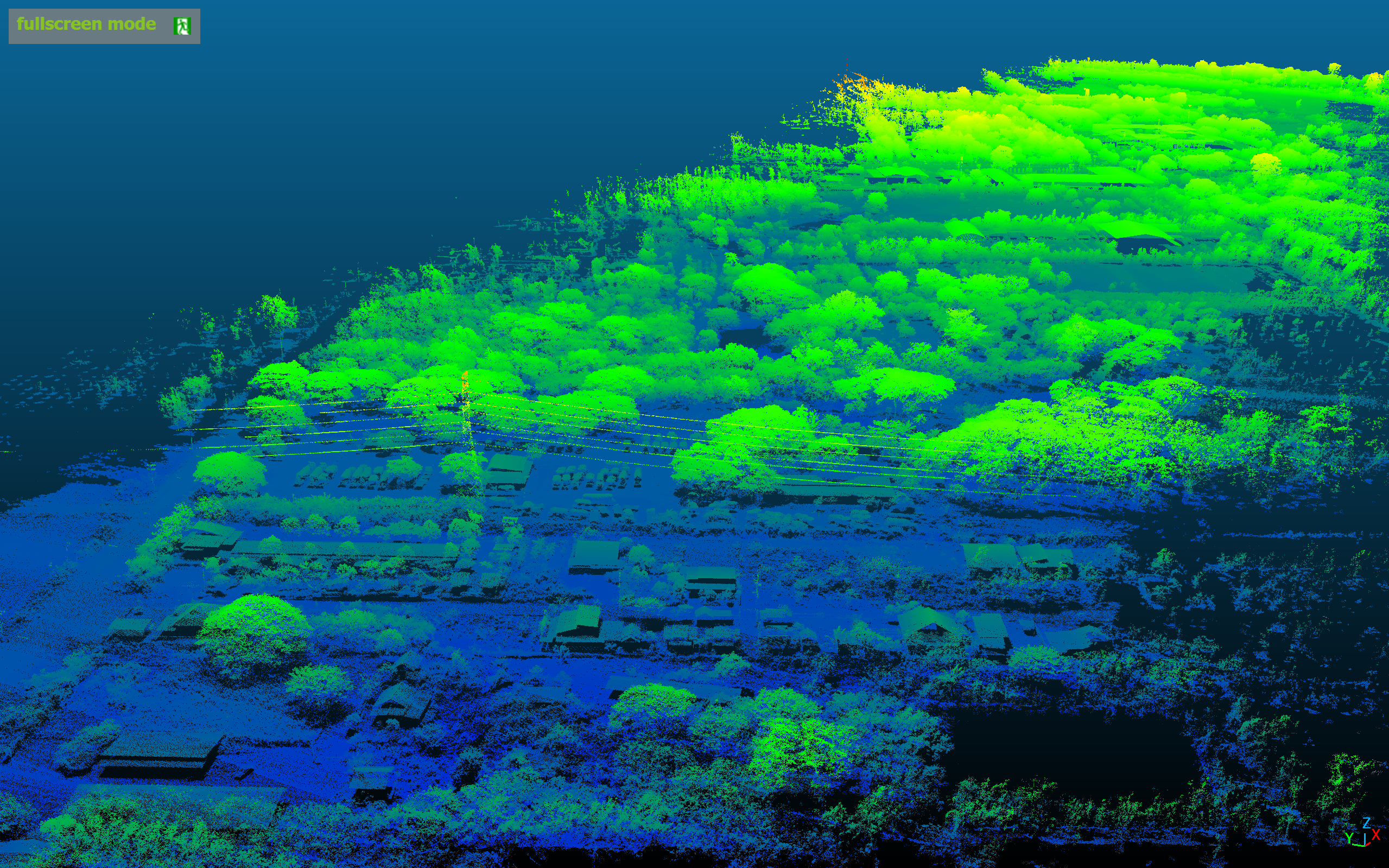
Mission Gallery