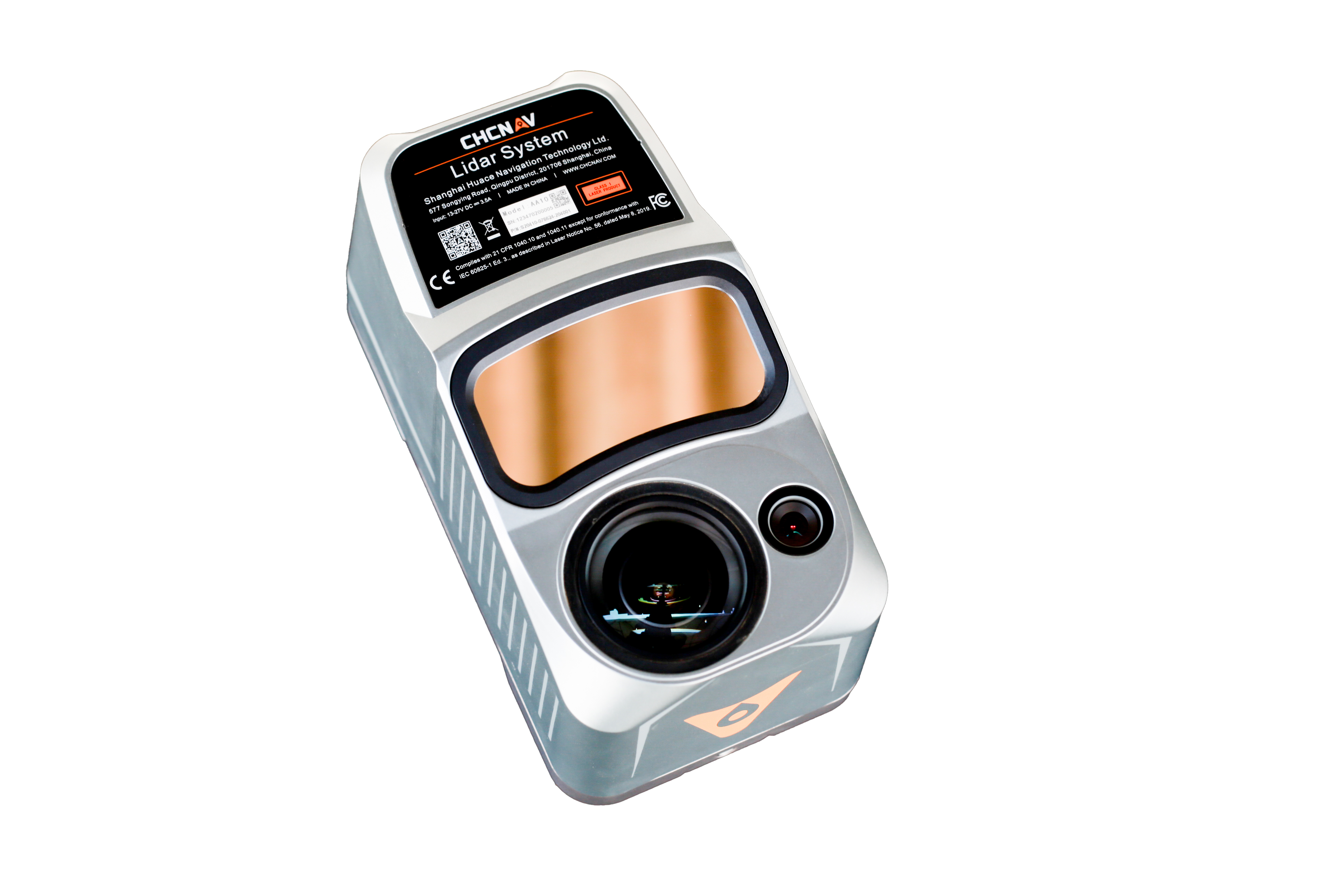
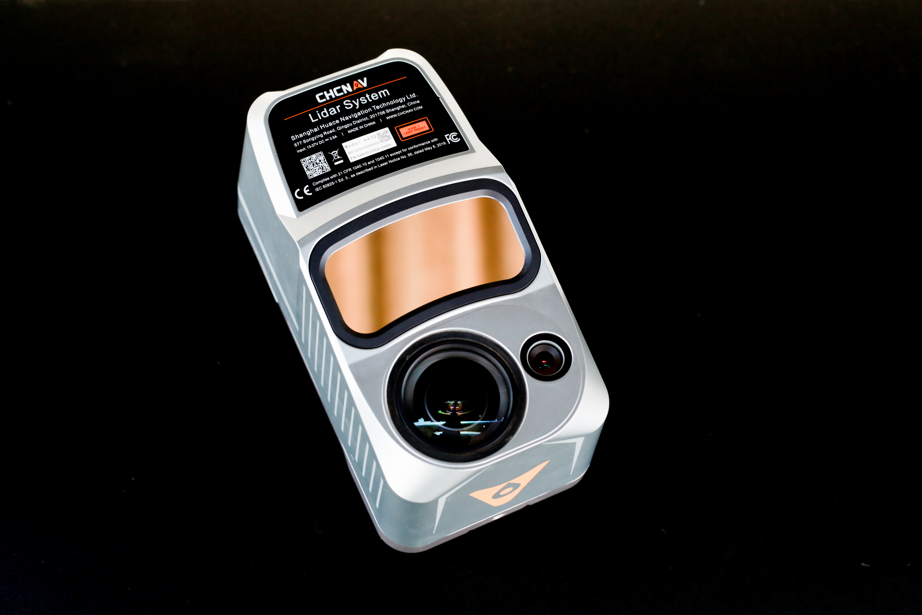
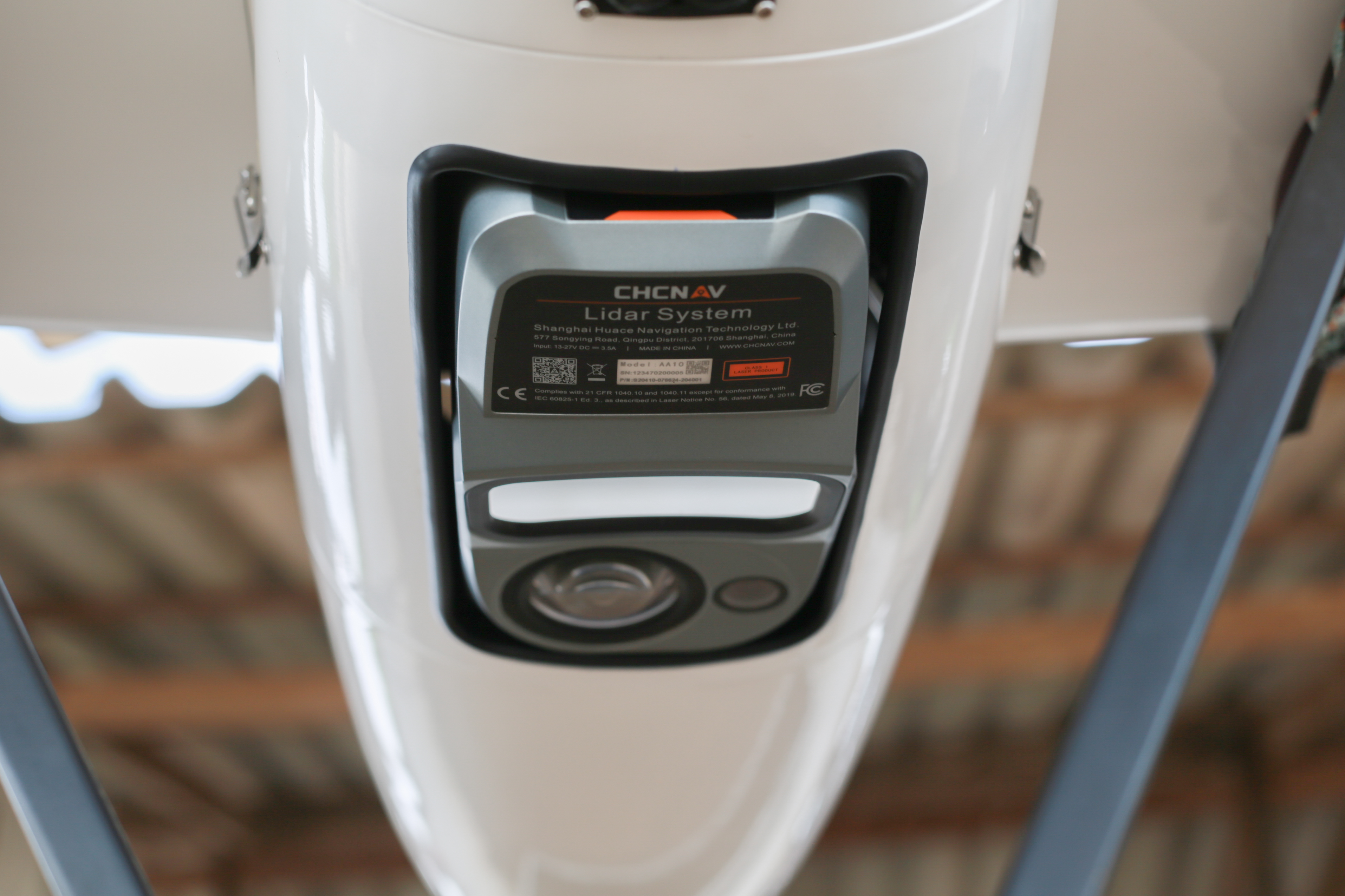
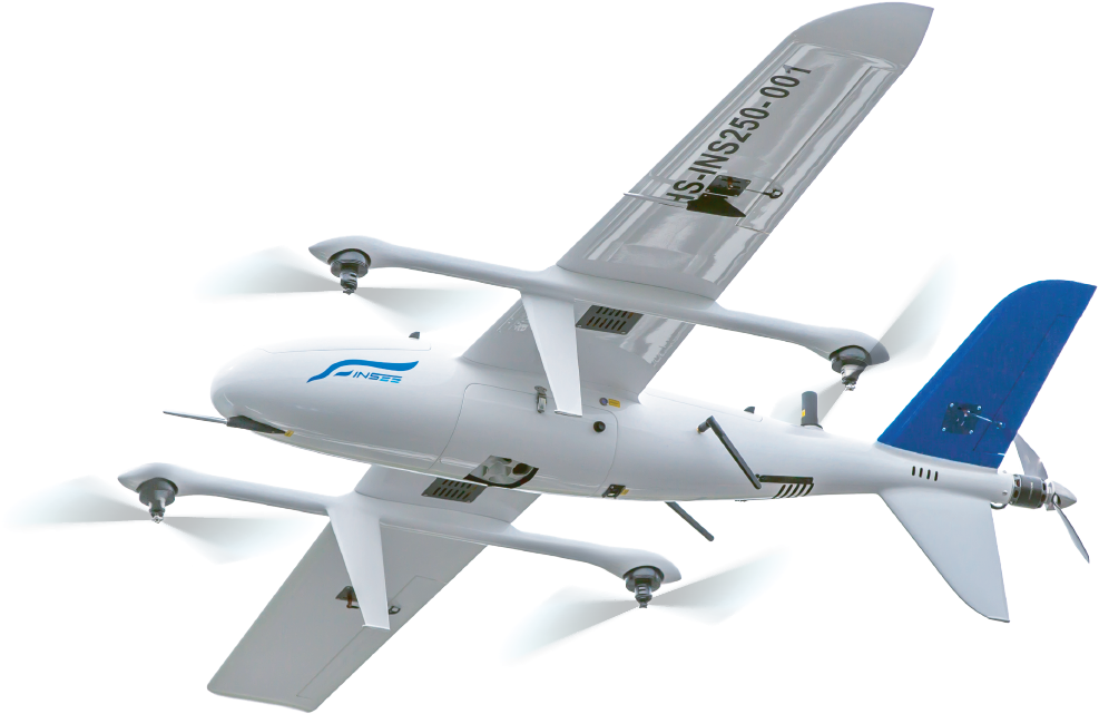
CHCNav · UAV LiDAR System
AlphaAir 10
All-in-One UAV LiDAR — Everything in a Single Unit
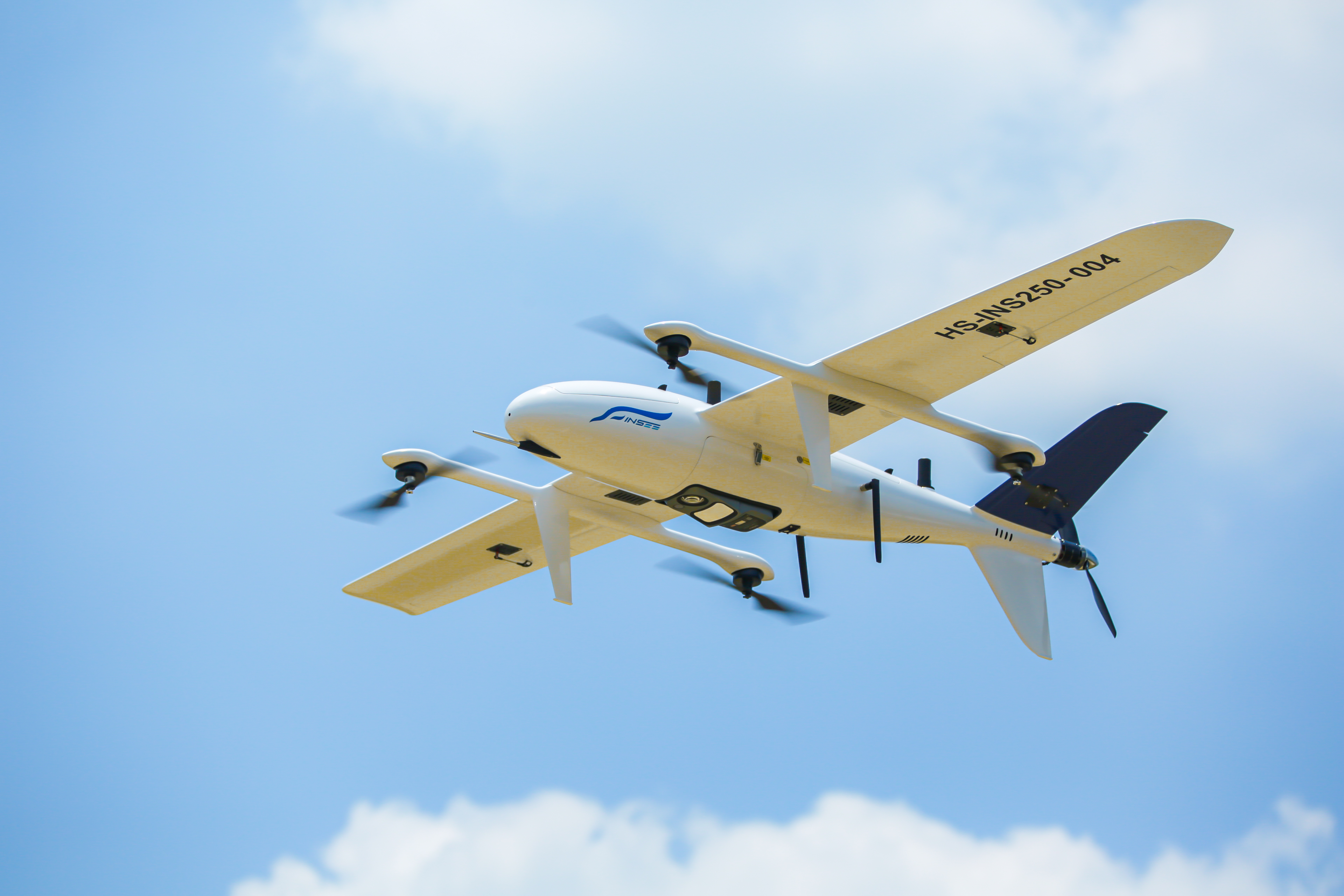
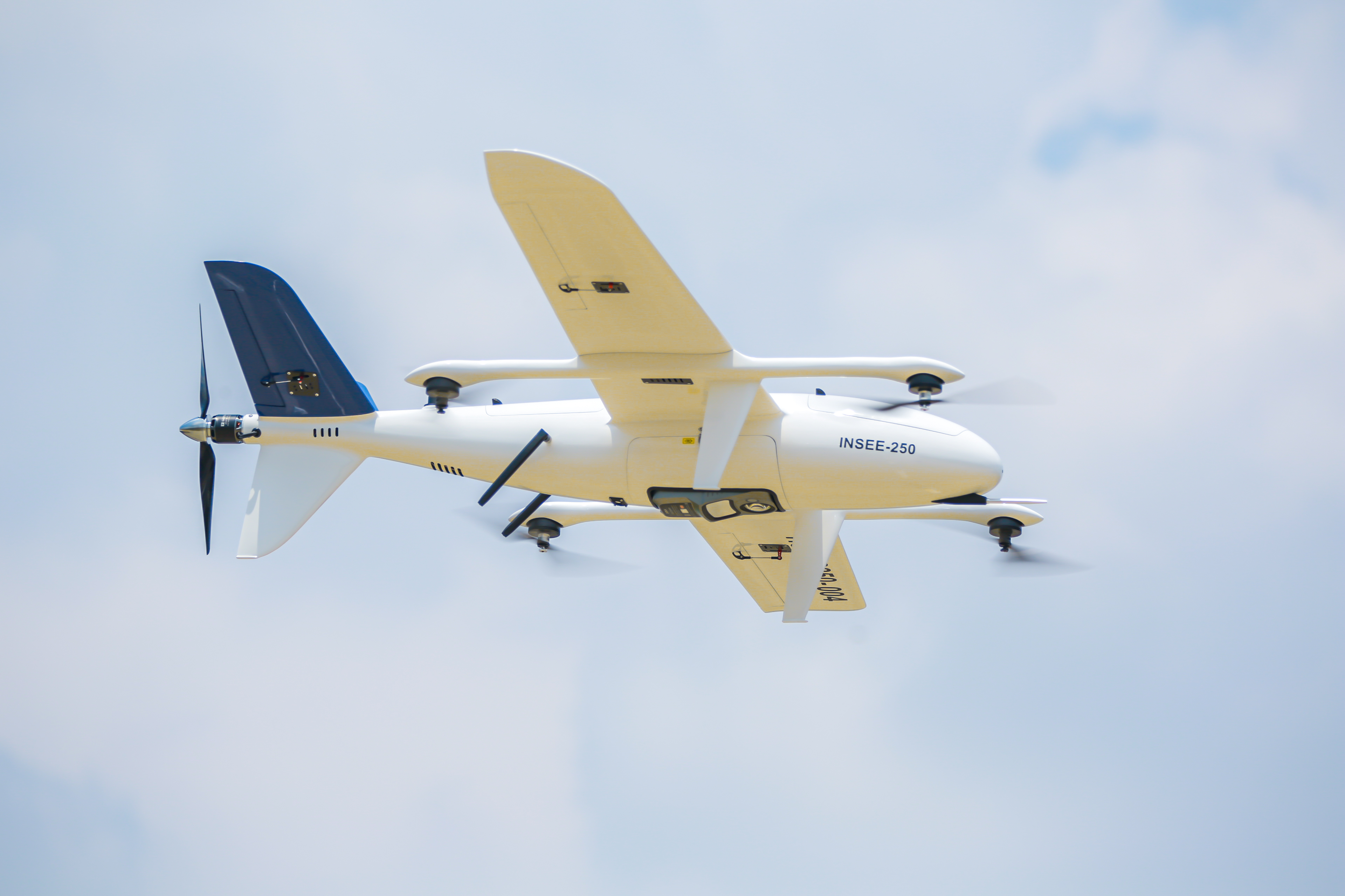
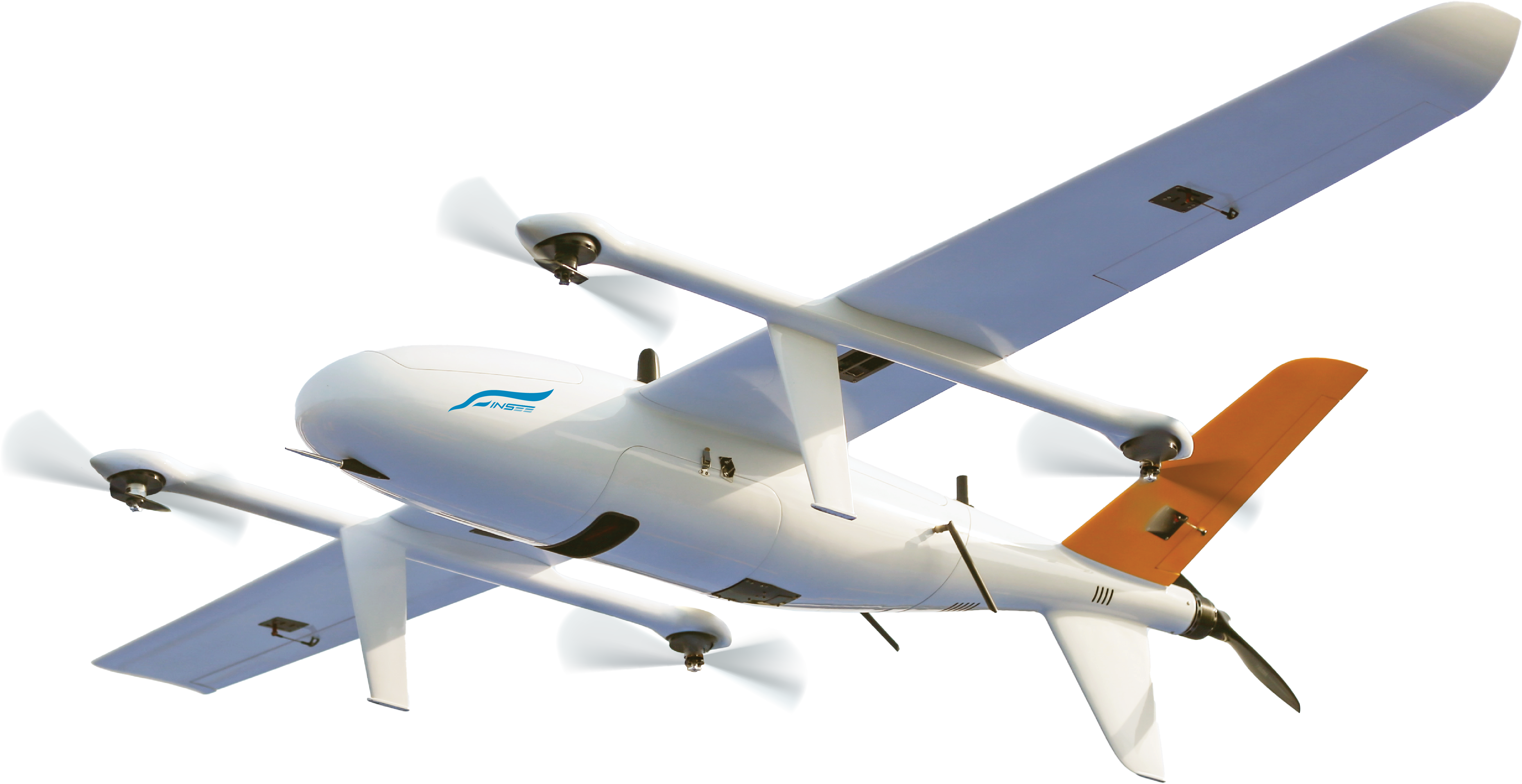
LiDAR + 45MP camera integrated into a single unit weighing just 1.55 kg — 800 m range, 2-5 cm accuracy, and 8 returns for canopy penetration. A complete survey-grade UAV Mapping solution. Field-proven on INSEE-250 in real missions in Thailand.
All-in-One Integration
LiDAR + IMU + GNSS + 45MP camera integrated into one unit — no assembly required, power on and fly.
8 Returns Vegetation Penetration
Penetrates forest canopy with up to 8 returns — extracts bare-earth data beneath vegetation. Ideal for Forestry / DEM under canopy.
45MP Full-Frame Camera
Full-Frame Orthographic 45MP camera with 21mm lens — sharp orthophotos, ready to colorize point clouds out of the box.
Field-Ready · IP64
IP64 rated + operating temperature -20°C to +50°C — built for real-world field conditions, with 512GB × 2 storage.
Specifications.
Mission Snapshots.
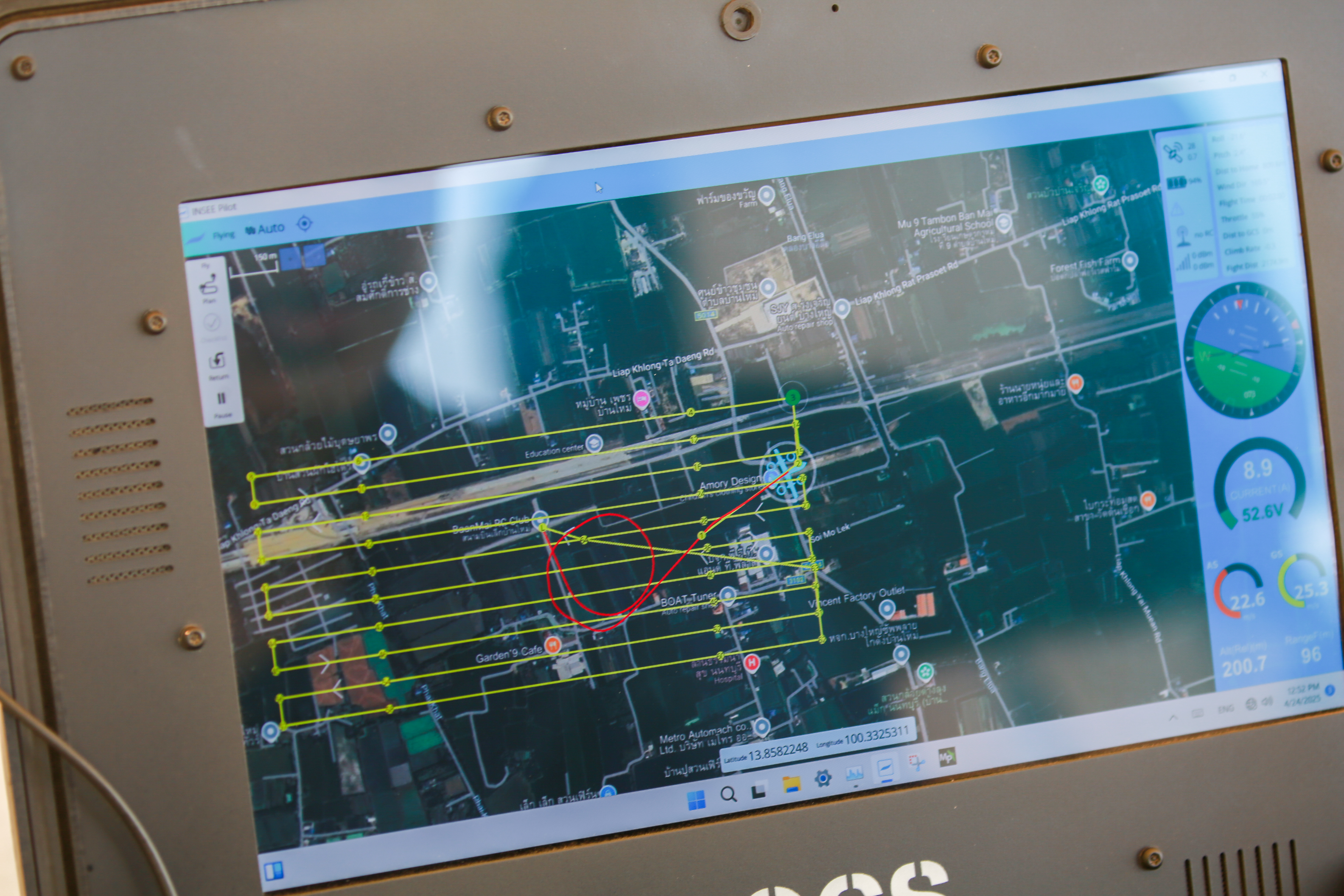
Mission Results
Mission details — Coverage Area, GSD, Accuracy and Flight Parameters will be published as mission documentation progresses.
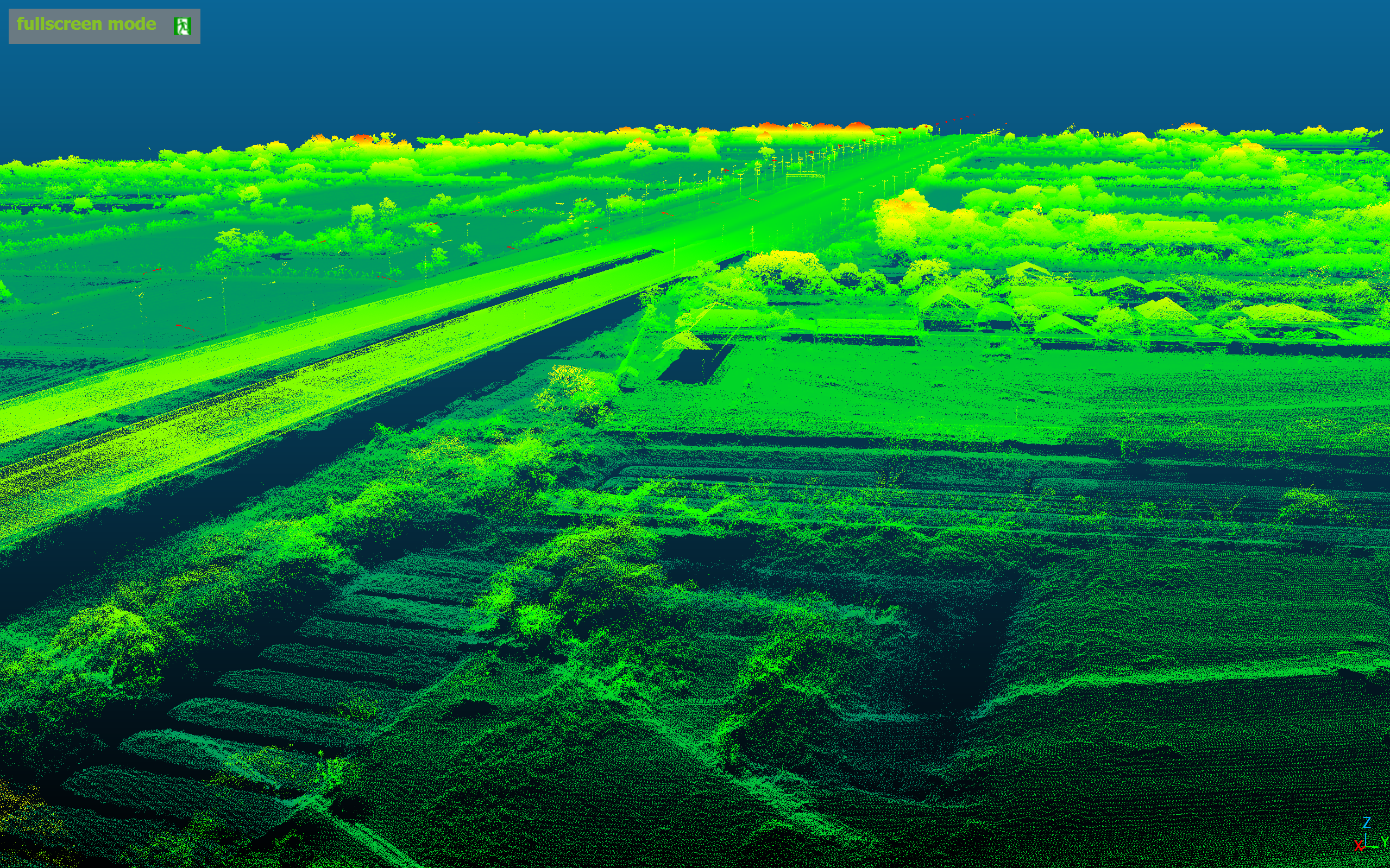
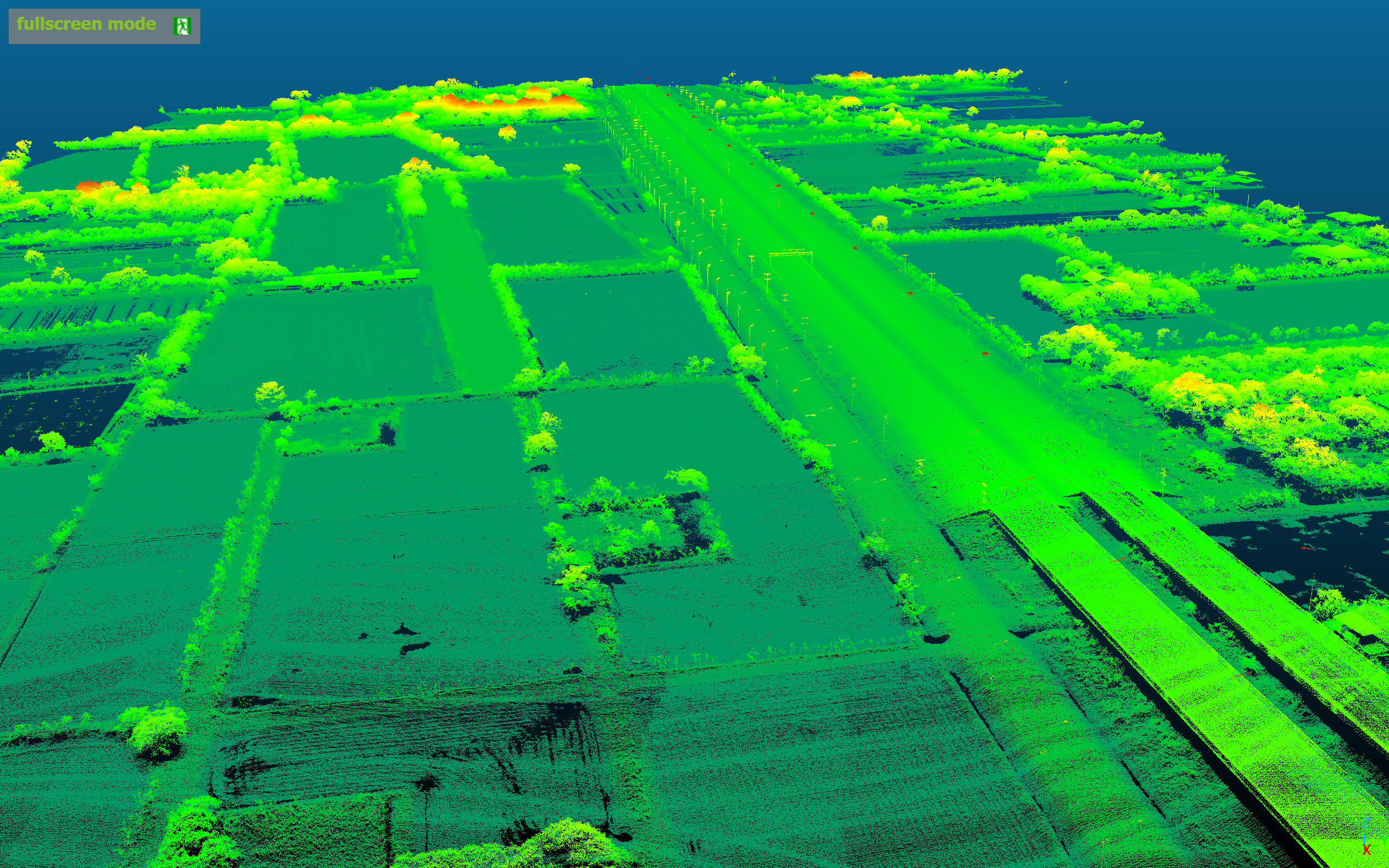
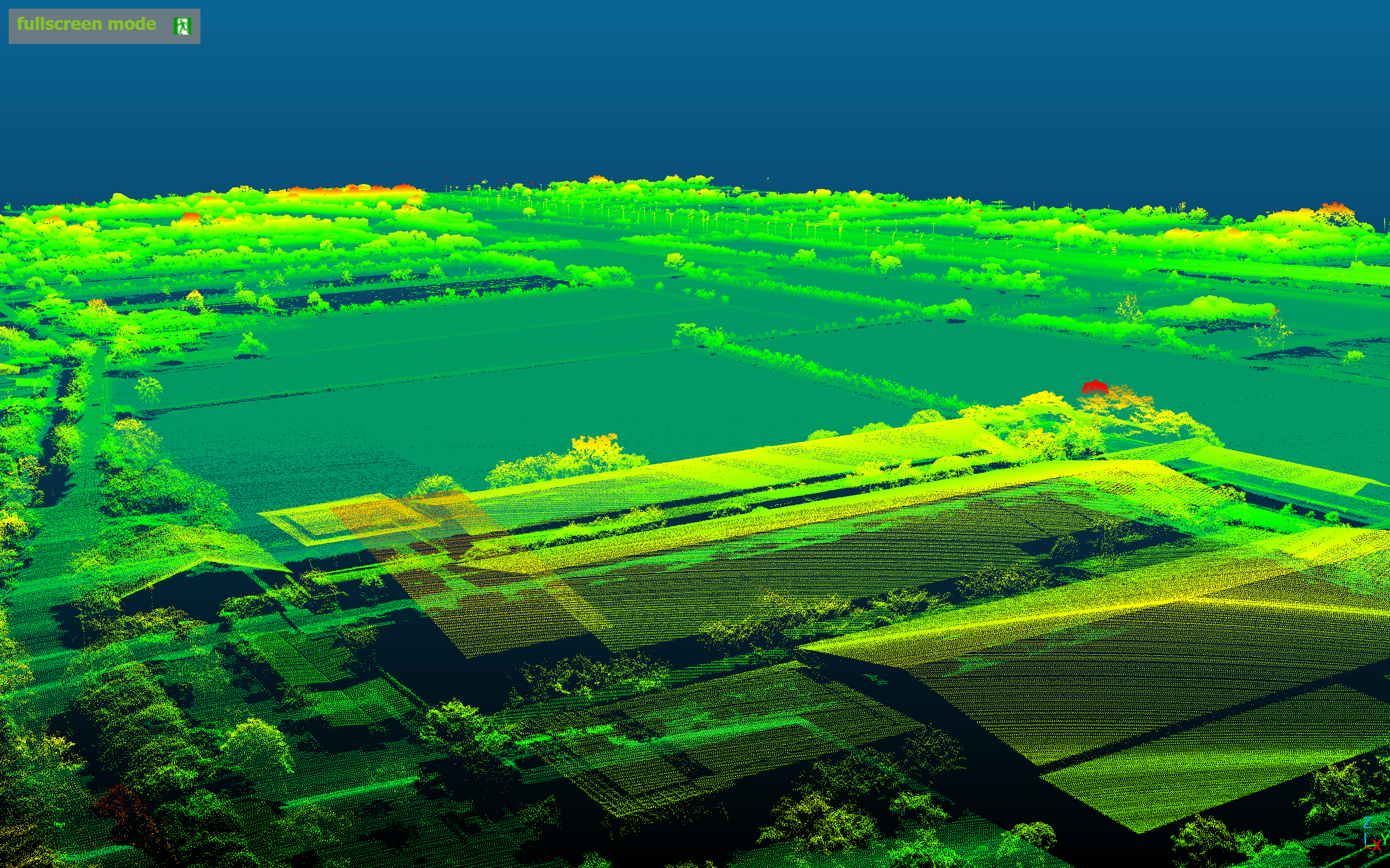
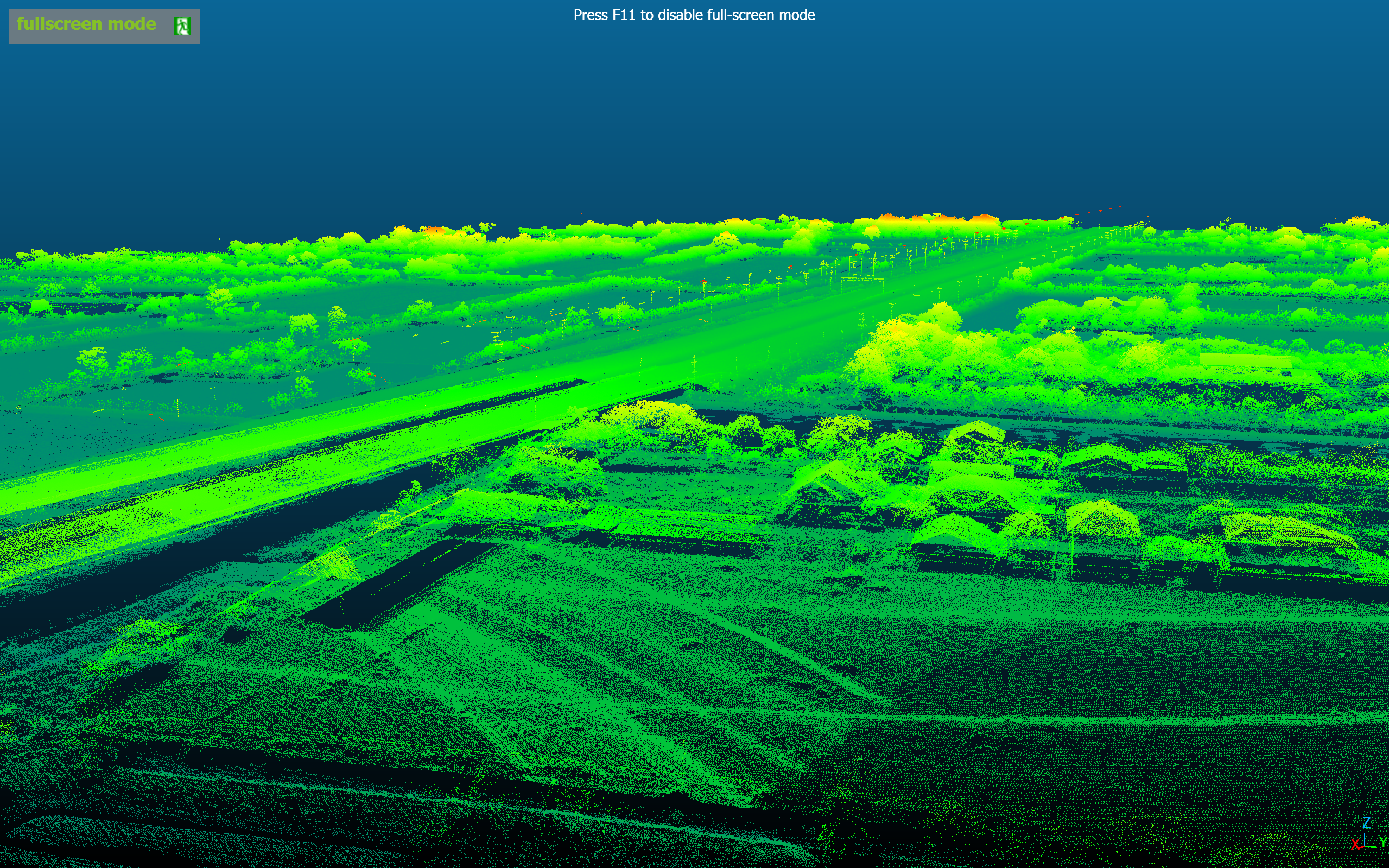
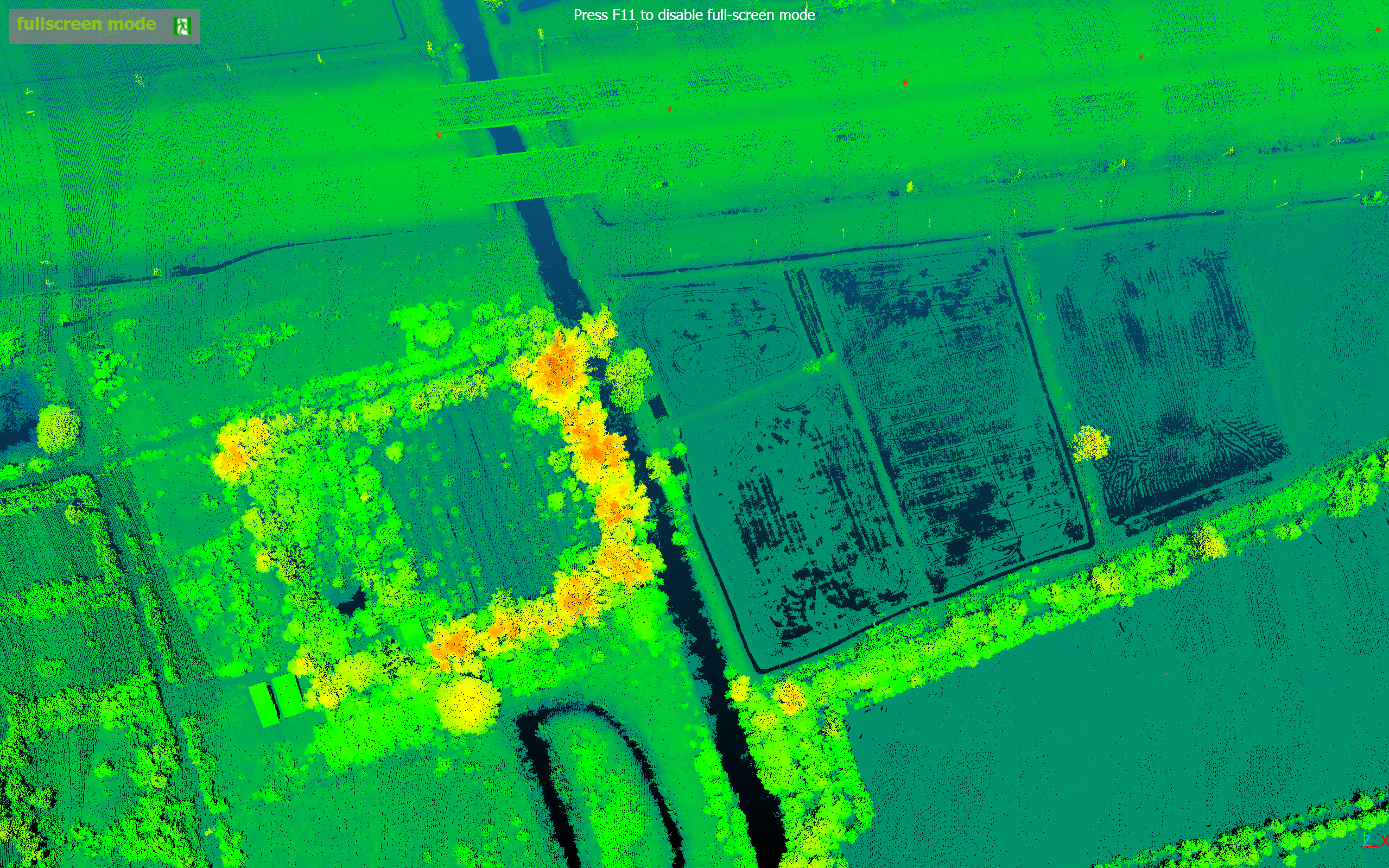
LiDAR Point Cloud Showcase.
Click any image to view full-screen detail.
Ready to take your LiDAR Survey to the next level
with the CHCNav AA10?
Talk to the INSEE UAV team — get expert consultation, live flight demos, and a complete All-in-One LiDAR solution for Survey, Forest, and Corridor Mapping.
INSEE UAV — Engineered in Thailand · Operated by Thai Sky Vision Co., Ltd.