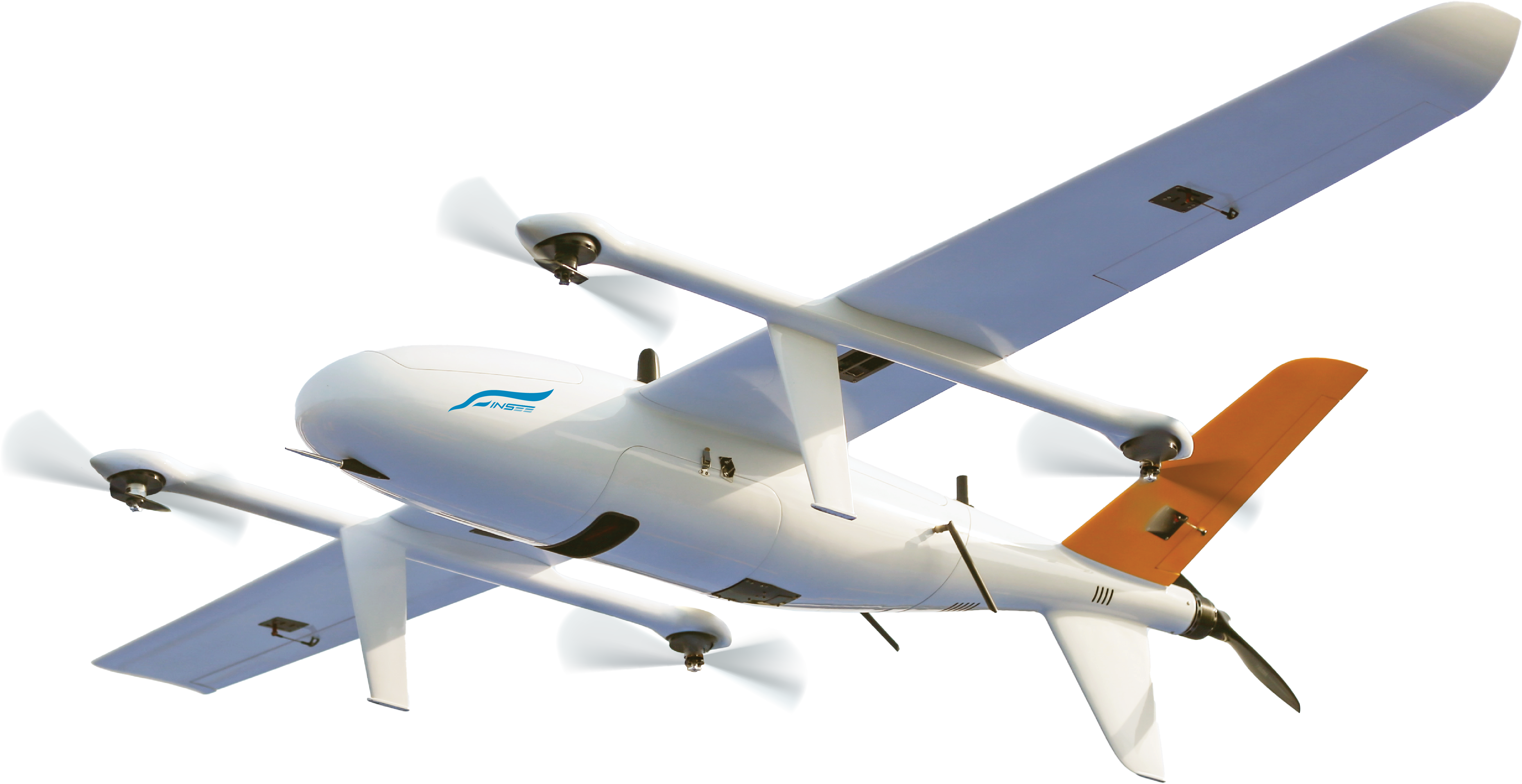
INSEE UAV — Heavy-Lift Platform
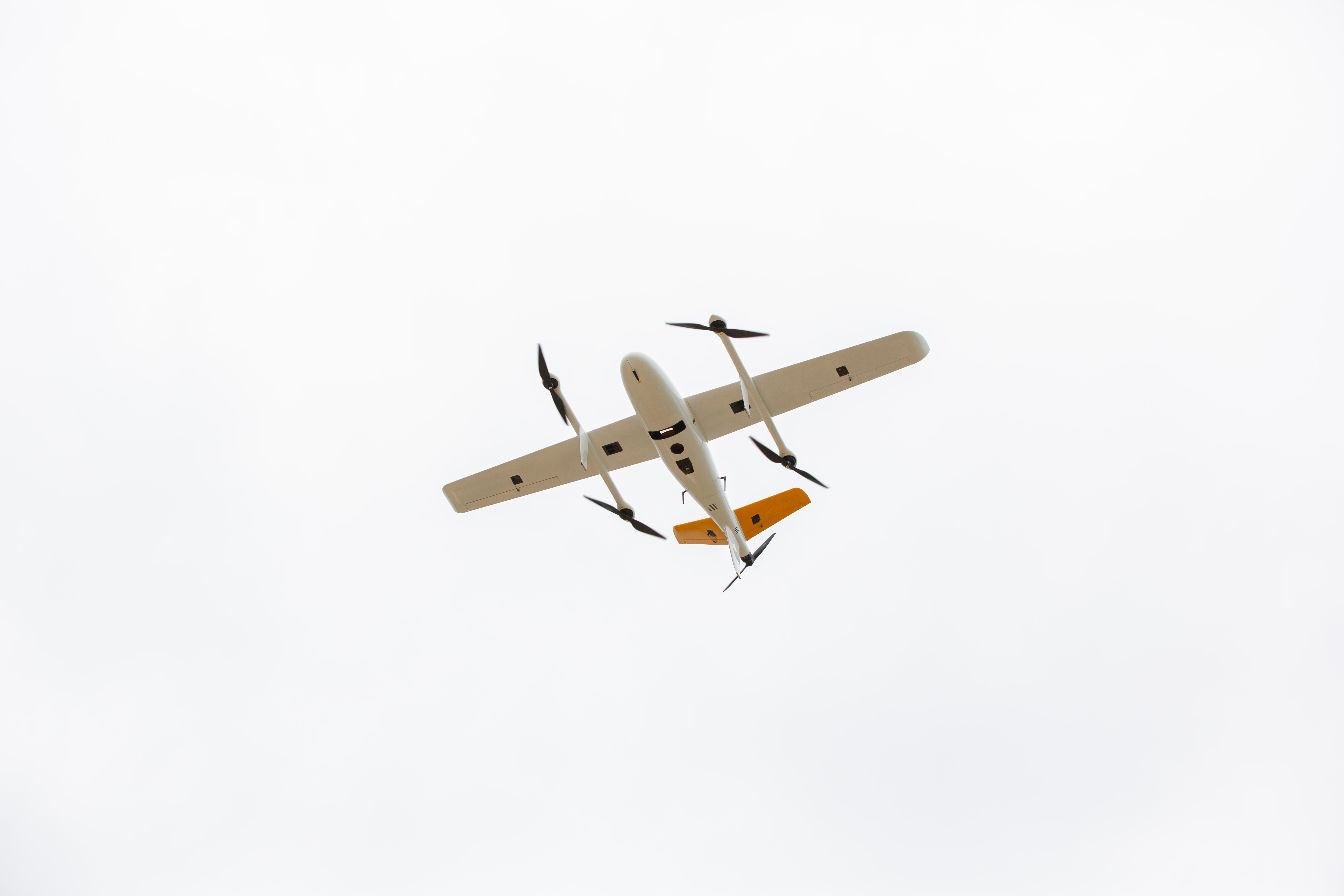
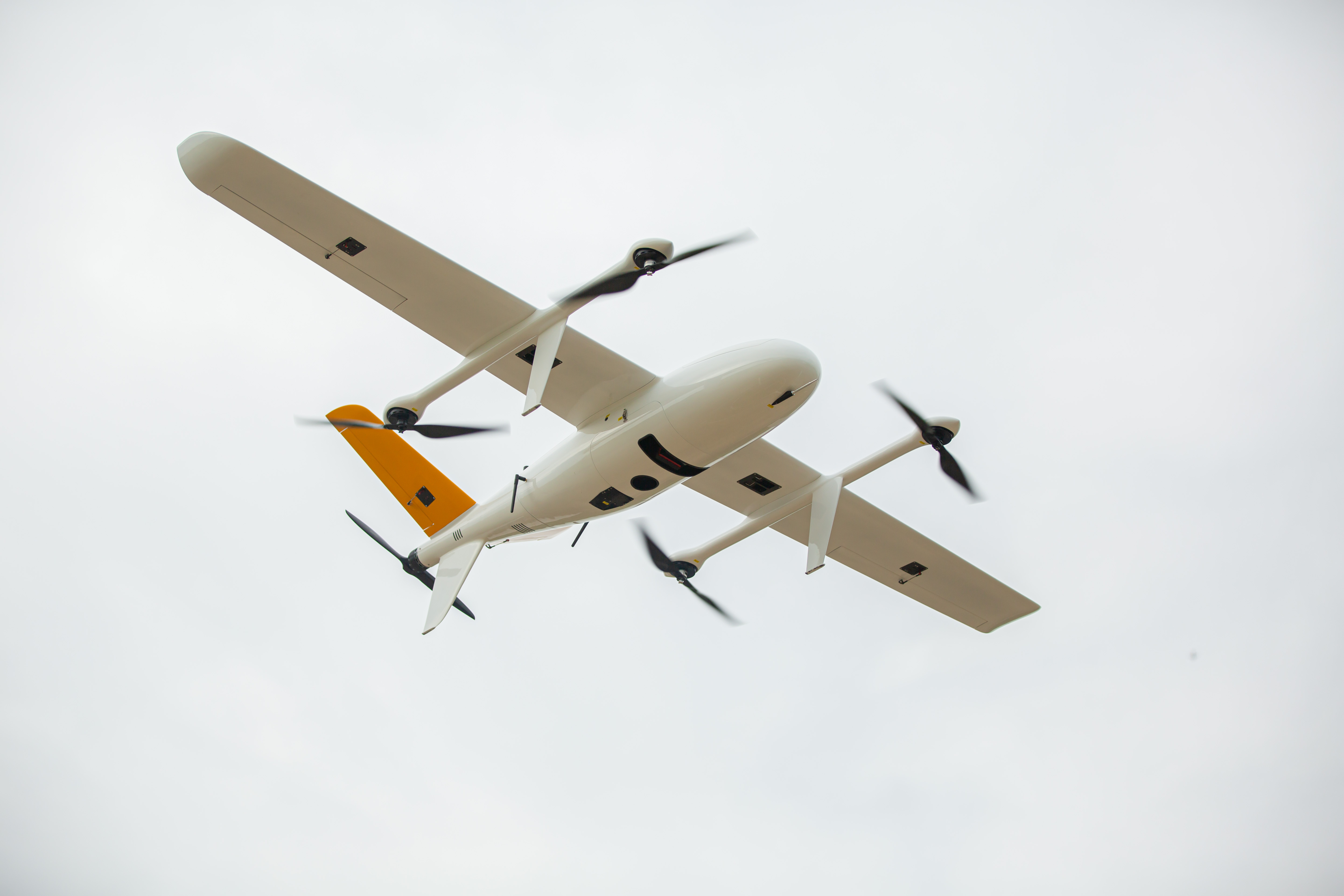
INSEE-350
INNOVATE BEYOND LIMITS
Heavy-Lift E-VTOL Fixed-Wing UAV with a 3.5m wingspan — carries payloads up to 5kg. 2.5-hour flight endurance, top speed of 144 km/h — purpose-built for Long-Range Survey, Heavy LiDAR Payloads, and wide-area missions that demand high endurance.
Heavy-Lift Capacity
Carries payloads up to 5 kilograms — long-range LiDAR, heavy cameras or multi-sensor combinations together — unlocking full-scale Long-Range Survey workflows.
High-Speed Cruising
Top speed of 144 km/h (40 m/s) — faster than the INSEE-250, covers larger areas in less time — ideal for corridor and pipeline surveys.
Premium LiDAR Ready
Engineered to carry the YellowScan Voyager and GVI LiAir H800 long-range LiDAR systems — plus Riebo R10P/D2M and multi-sensor cameras.
Built for Reliability
Carbon Fiber + Fiberglass airframe, operating temperature -20°C to 60°C, wind resistance up to 14 m/s, IP45 rating — built for real field operations.
Specifications.
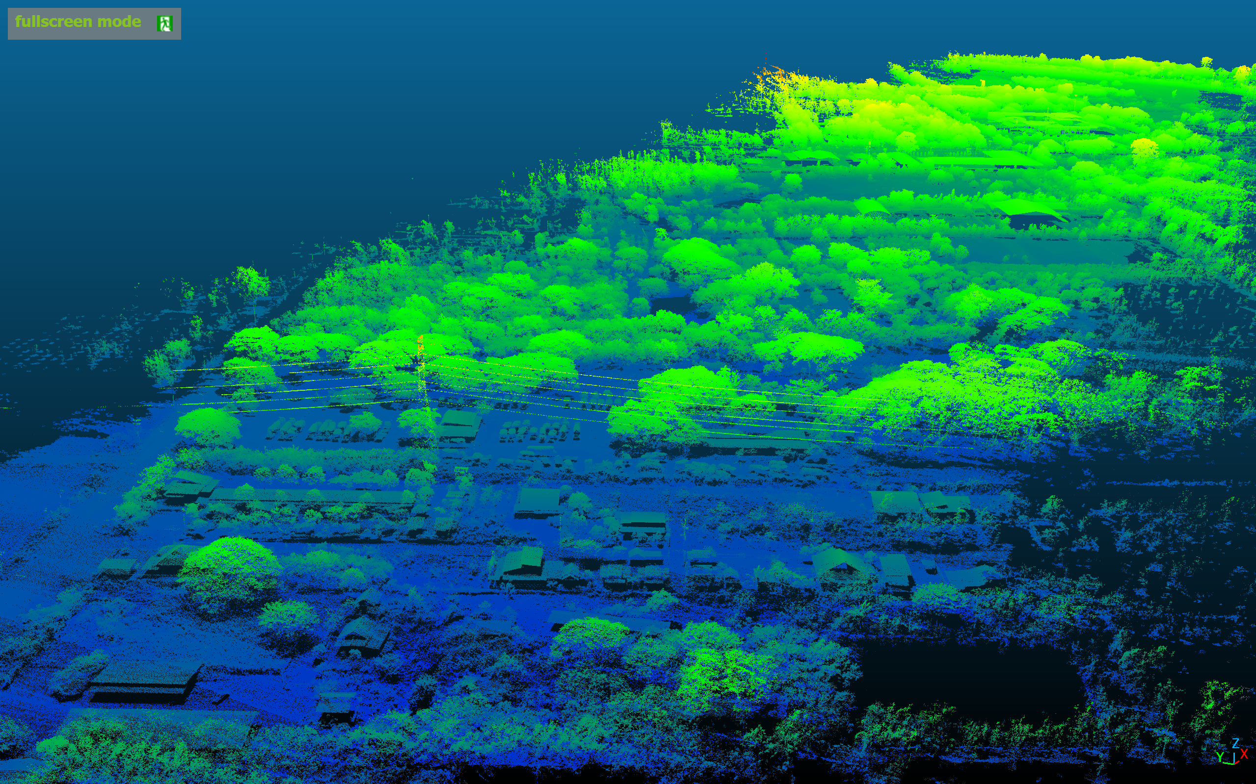
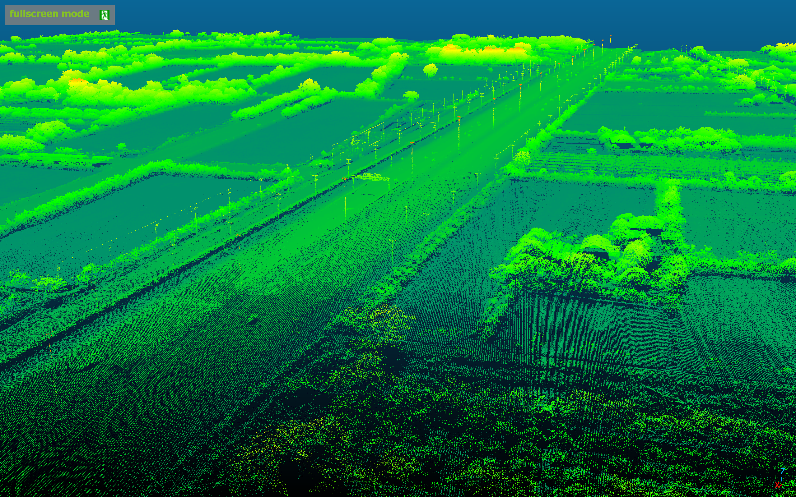
Long-Range LiDAR · Flagship
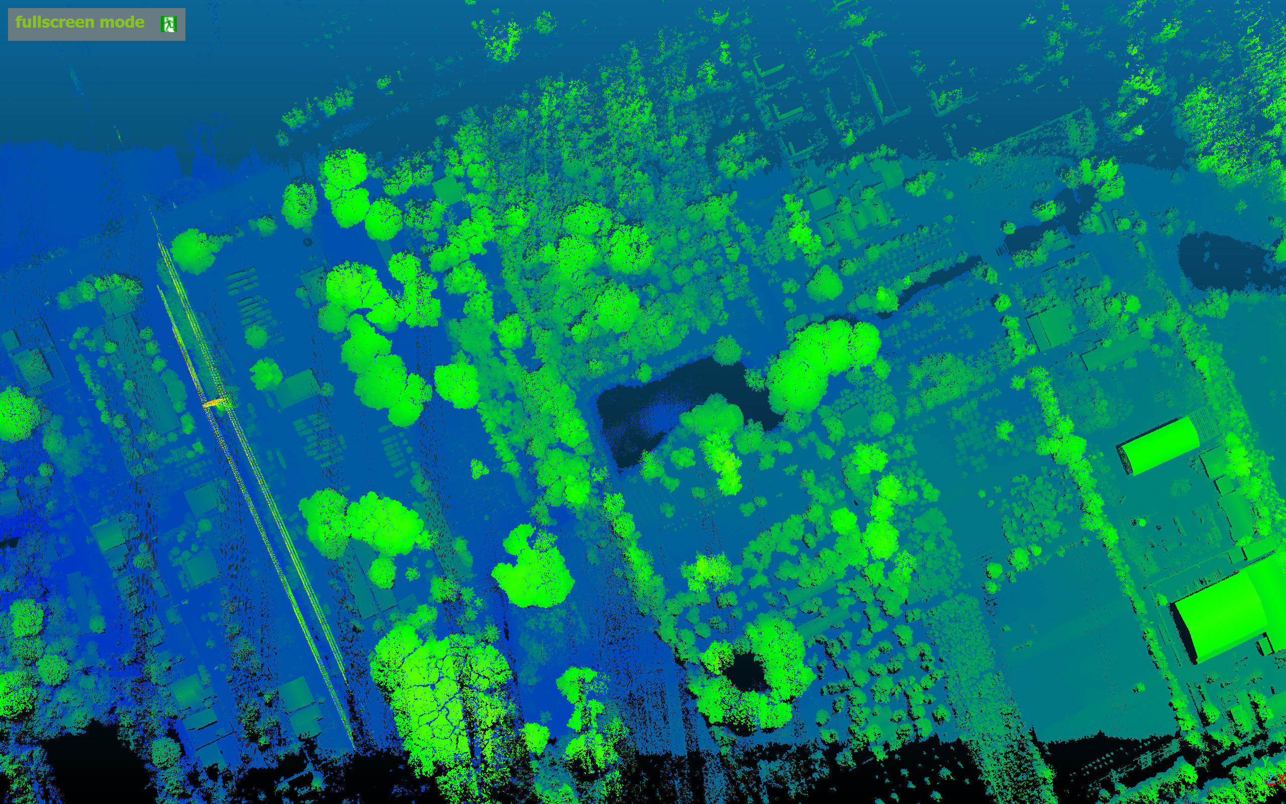
INSEE-350 + YellowScan Voyager
High-performance long-range LiDAR — covers wide areas in a single flight, ideal for forest, corridor and large-scale terrain surveys.
Performance Data · FOV 100°
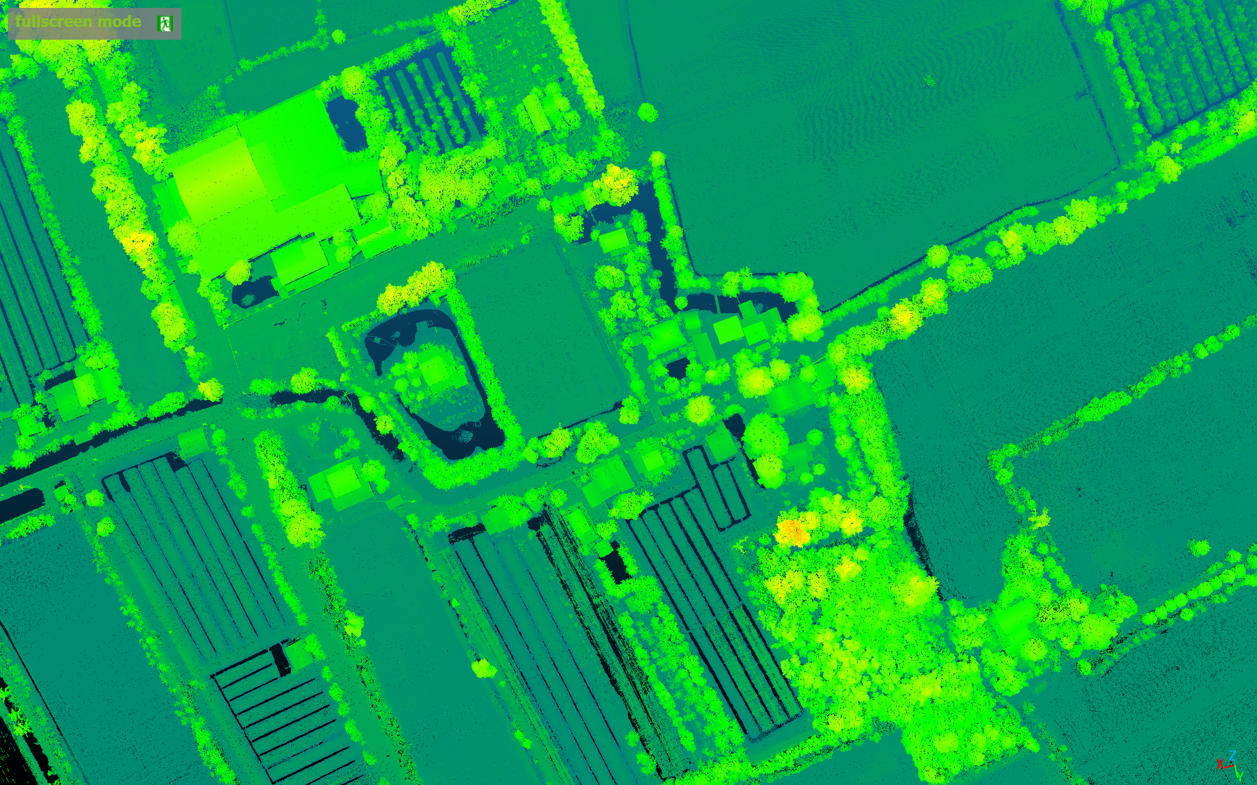
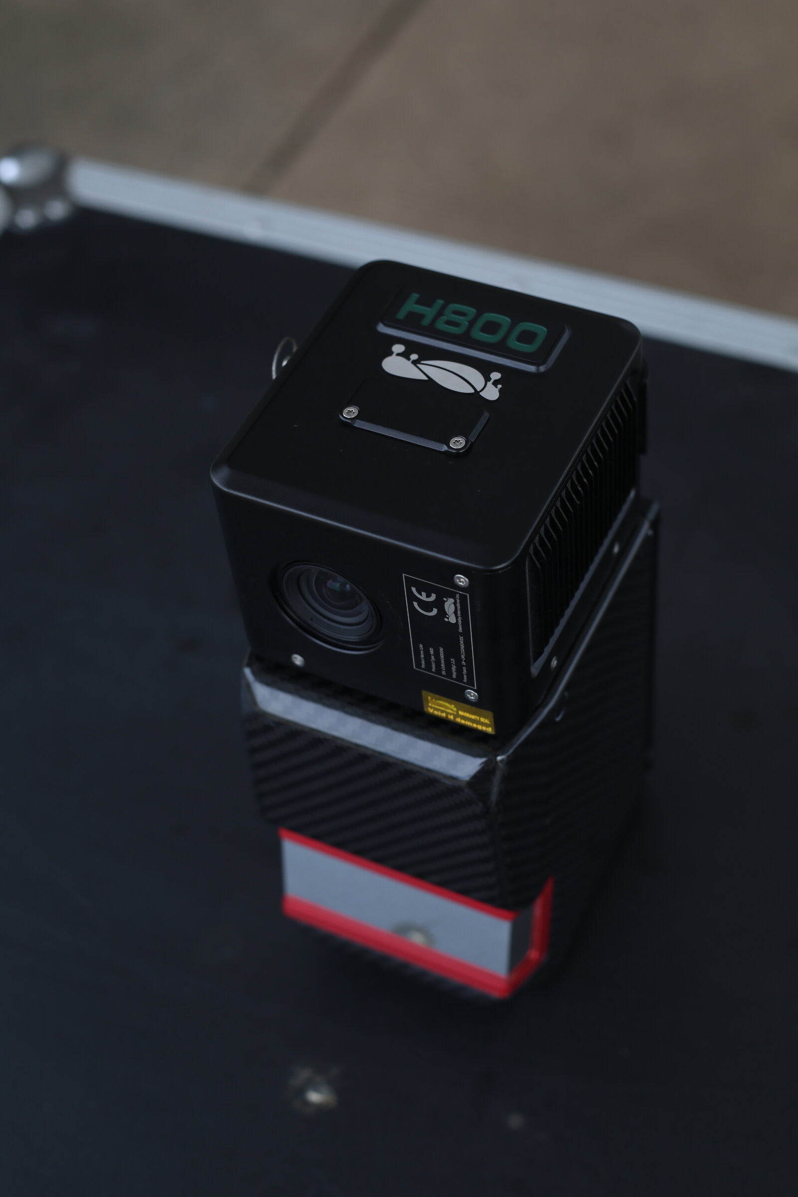
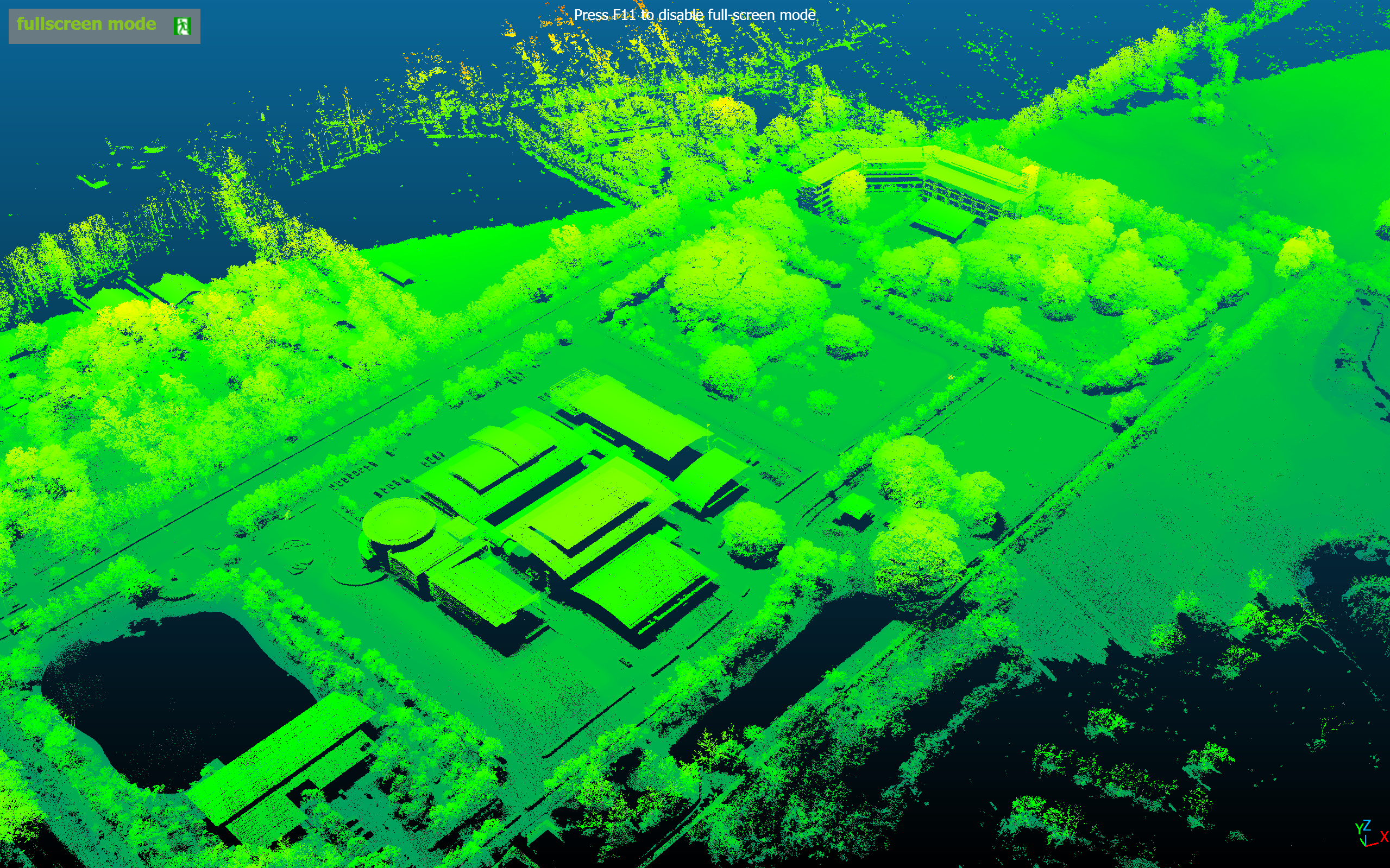
Long-Range LiDAR · Terrain
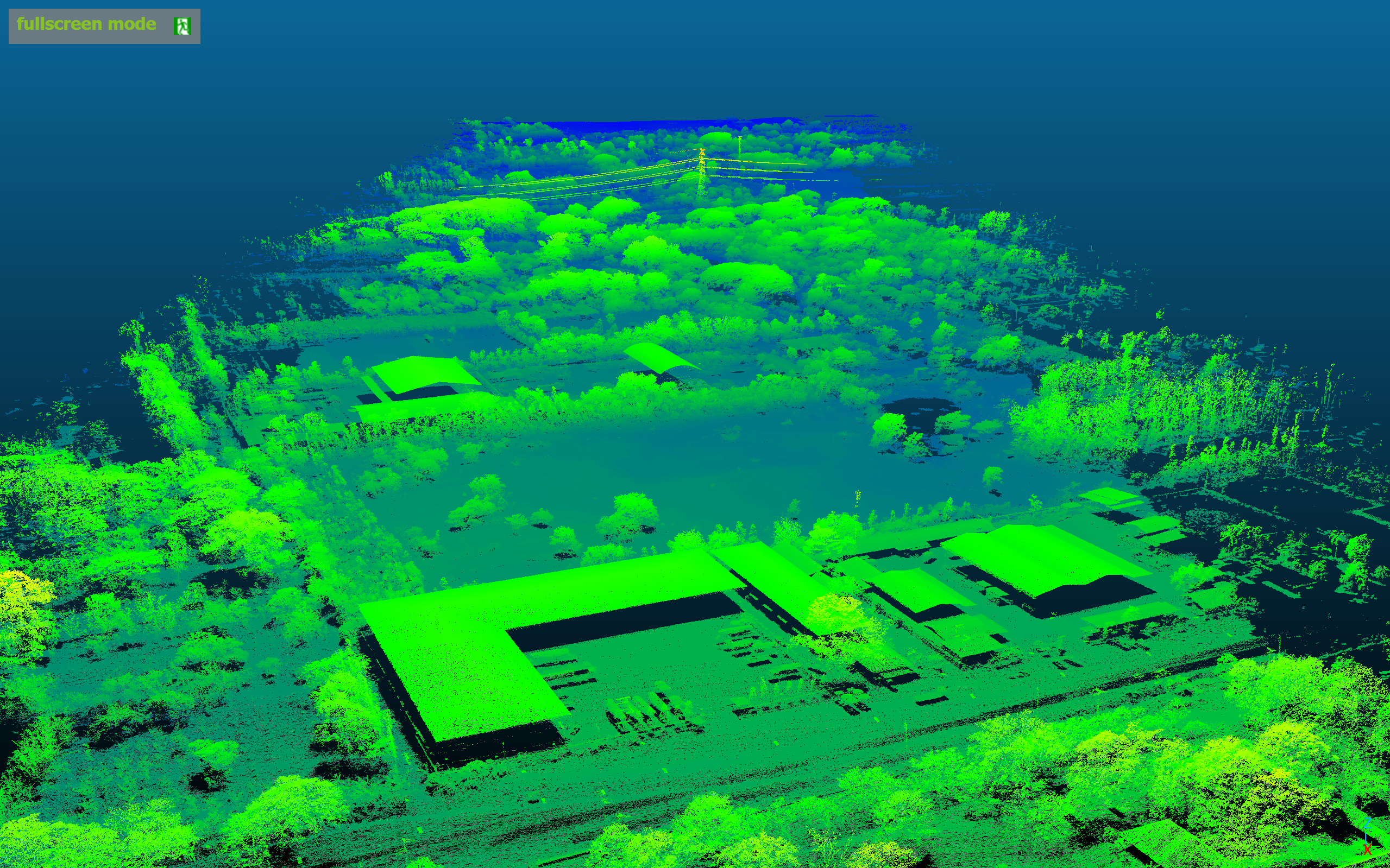
INSEE-350 + GVI LiAir H800
Long-range LiDAR for large-area topographic and terrain mapping — long measurement range with dense point clouds.
Performance Data
Detailed mission data — coverage area, GSD, accuracy and flight parameters — will be published as documentation progresses.
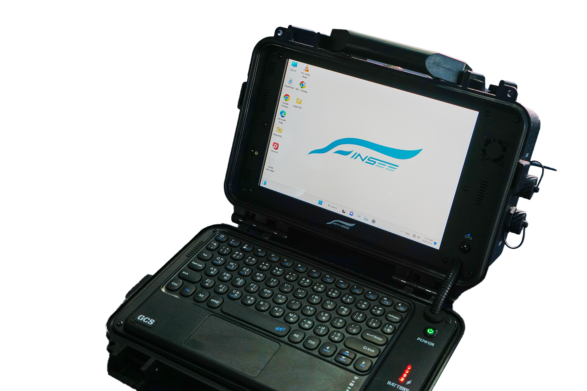
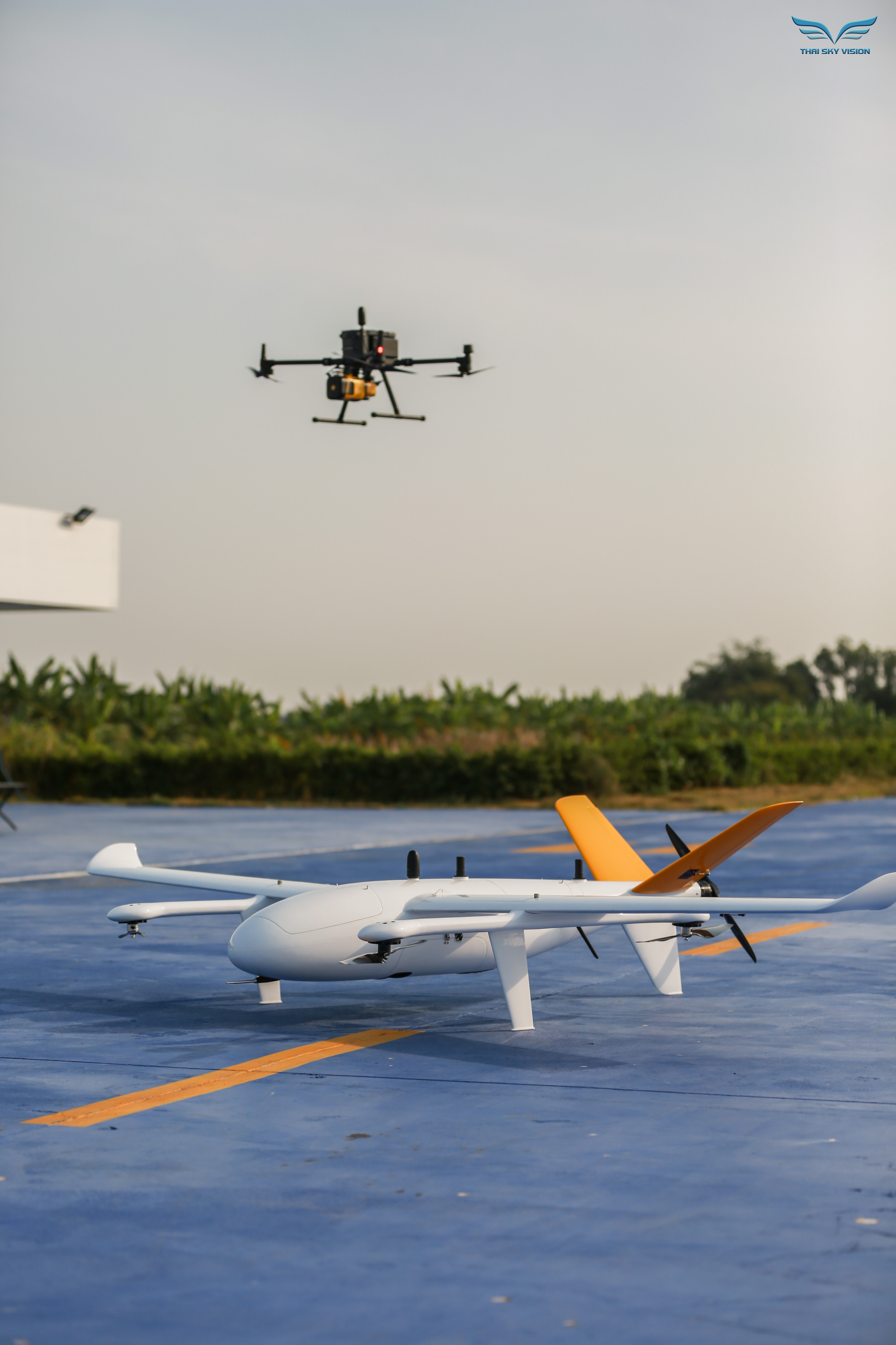
INSEE-GCS-01
INSEE Pilot Ground Station
Ground Station configurable for your mission — supports 10–15" display, Intel Core i5/i7, up to 16GB RAM, up to 10-hour battery life with INSEE Pilot software and ADS-B for situational awareness.
Ready to level up your survey work
with the INSEE-350?
Contact the INSEE UAV team — get expert advice, a live flight demo, and end-to-end Heavy-Lift / Long-Range solutions for LiDAR and Multi-sensor Payload missions.
INSEE UAV — Engineered in Thailand · Operated by Thai Sky Vision Co., Ltd.