GreenValley International · Long-Range LiDAR
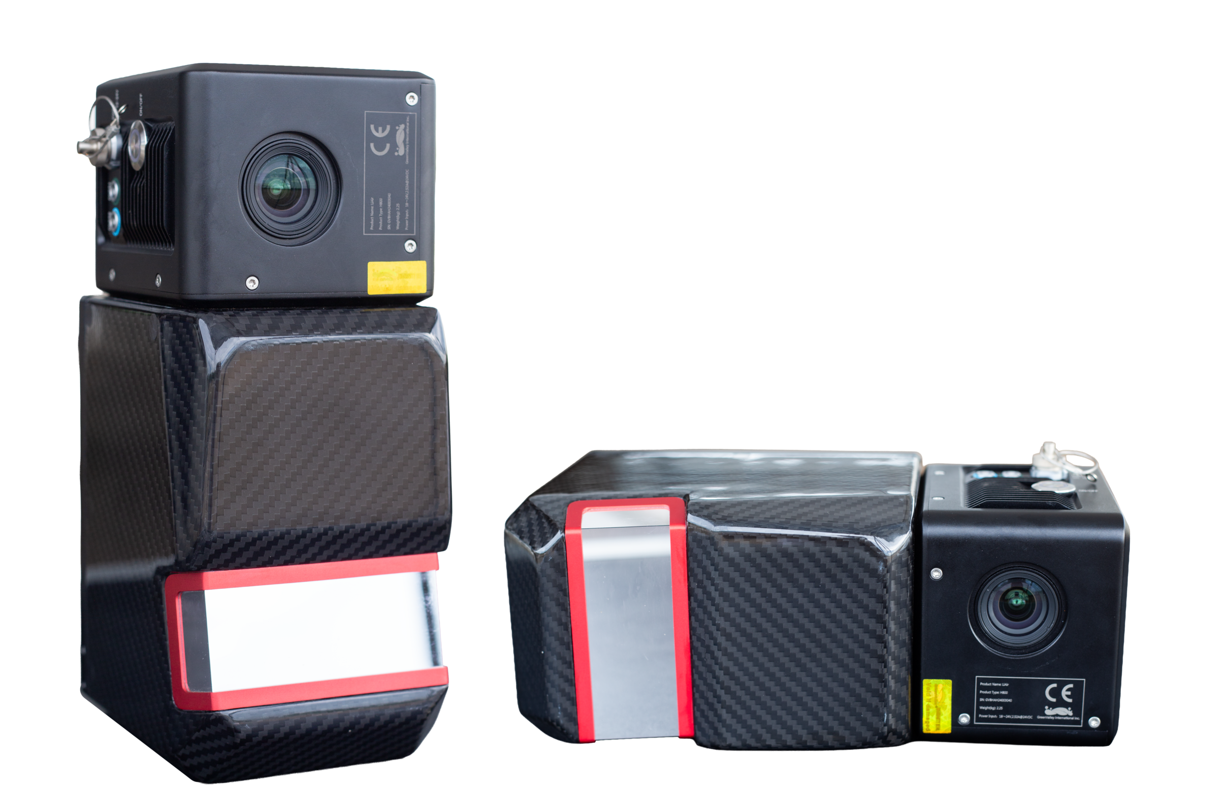
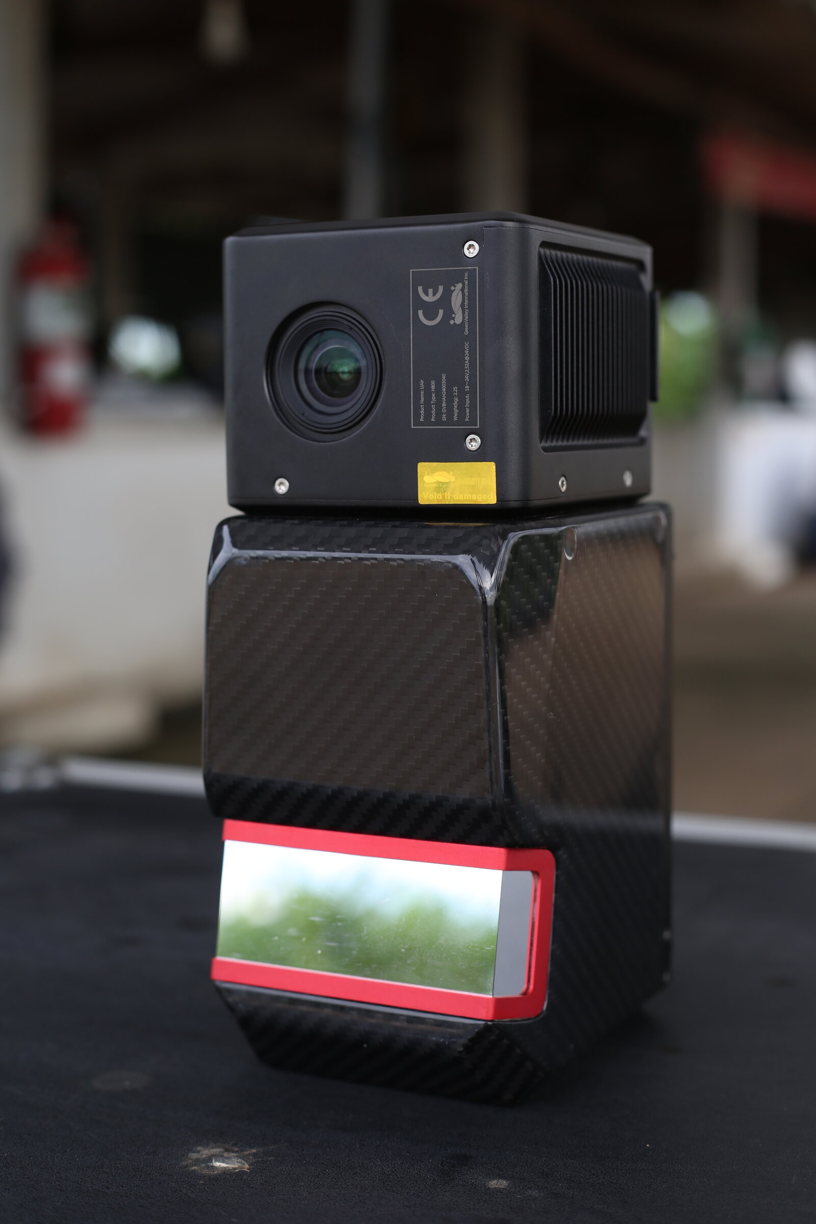
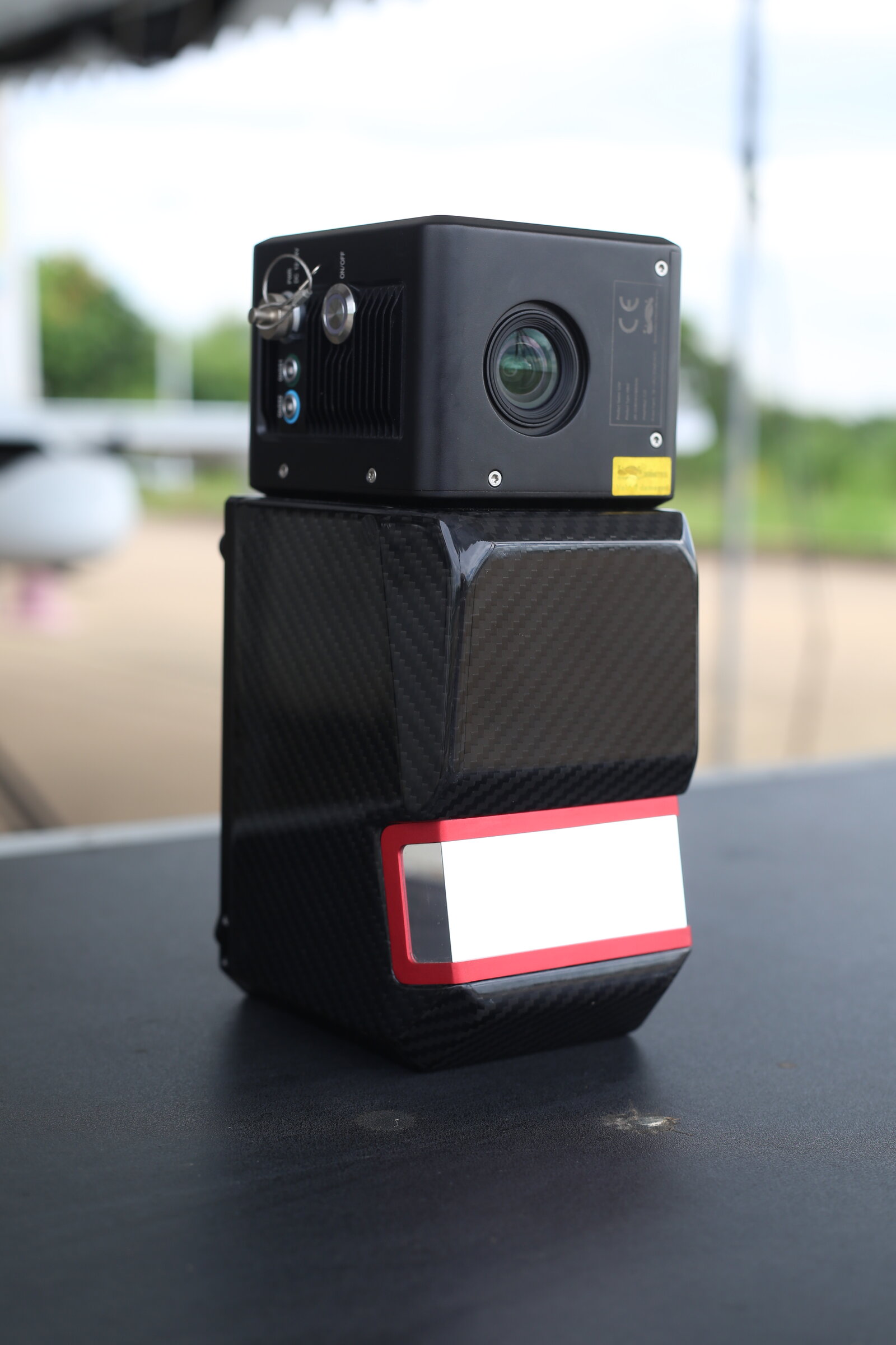
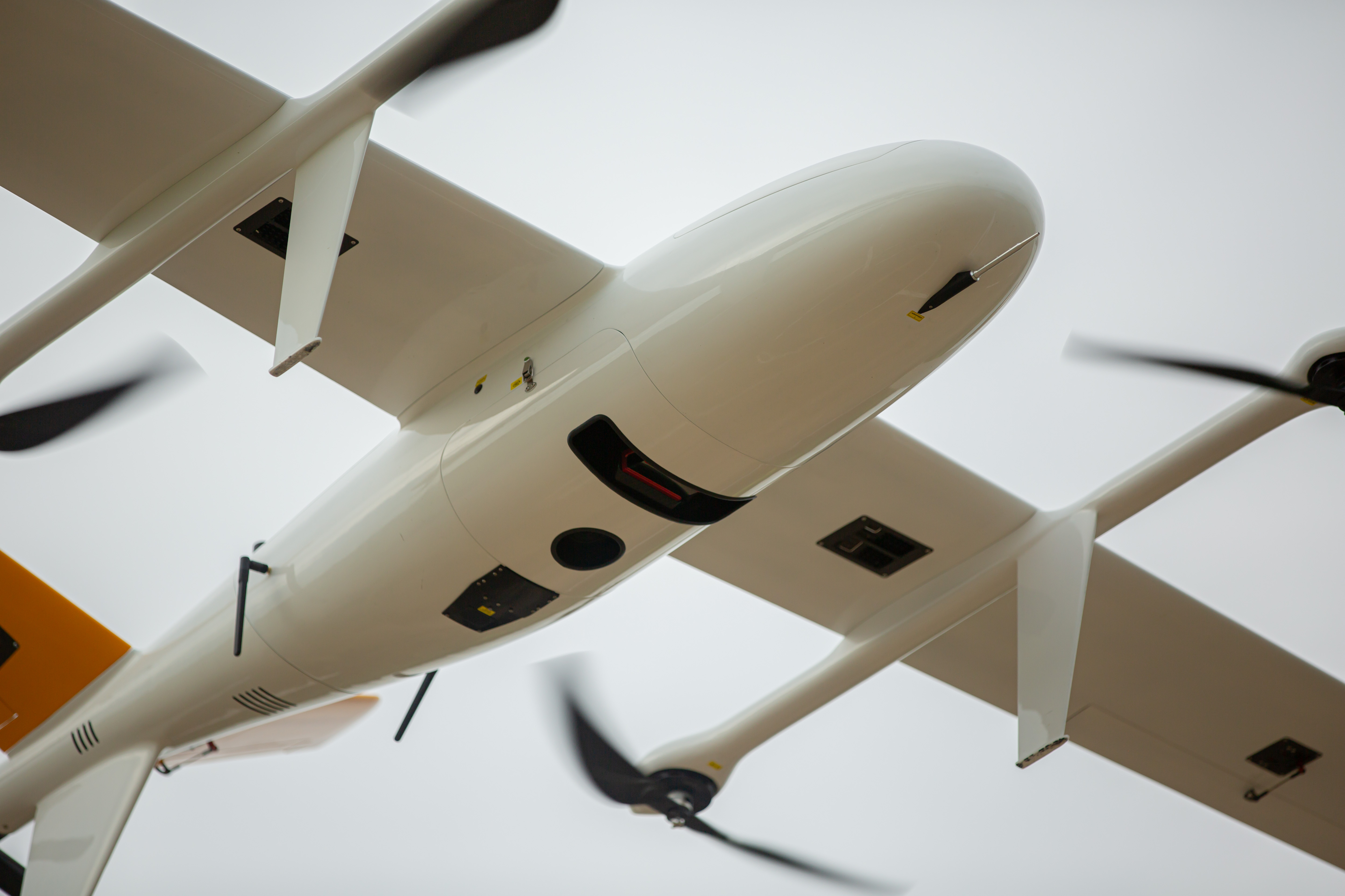
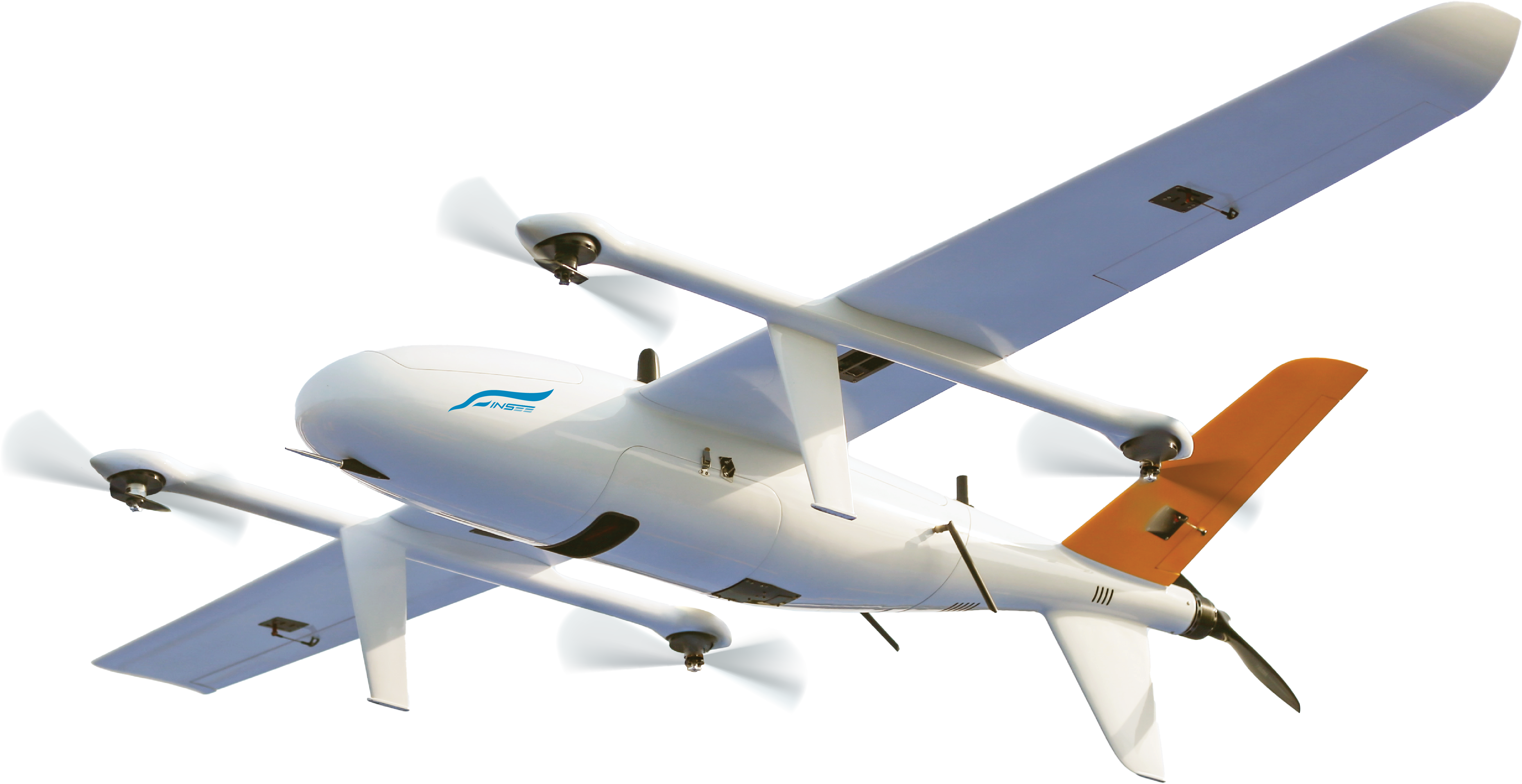
LiAir H800
Long-Range LiDAR for Large-Area Survey Missions
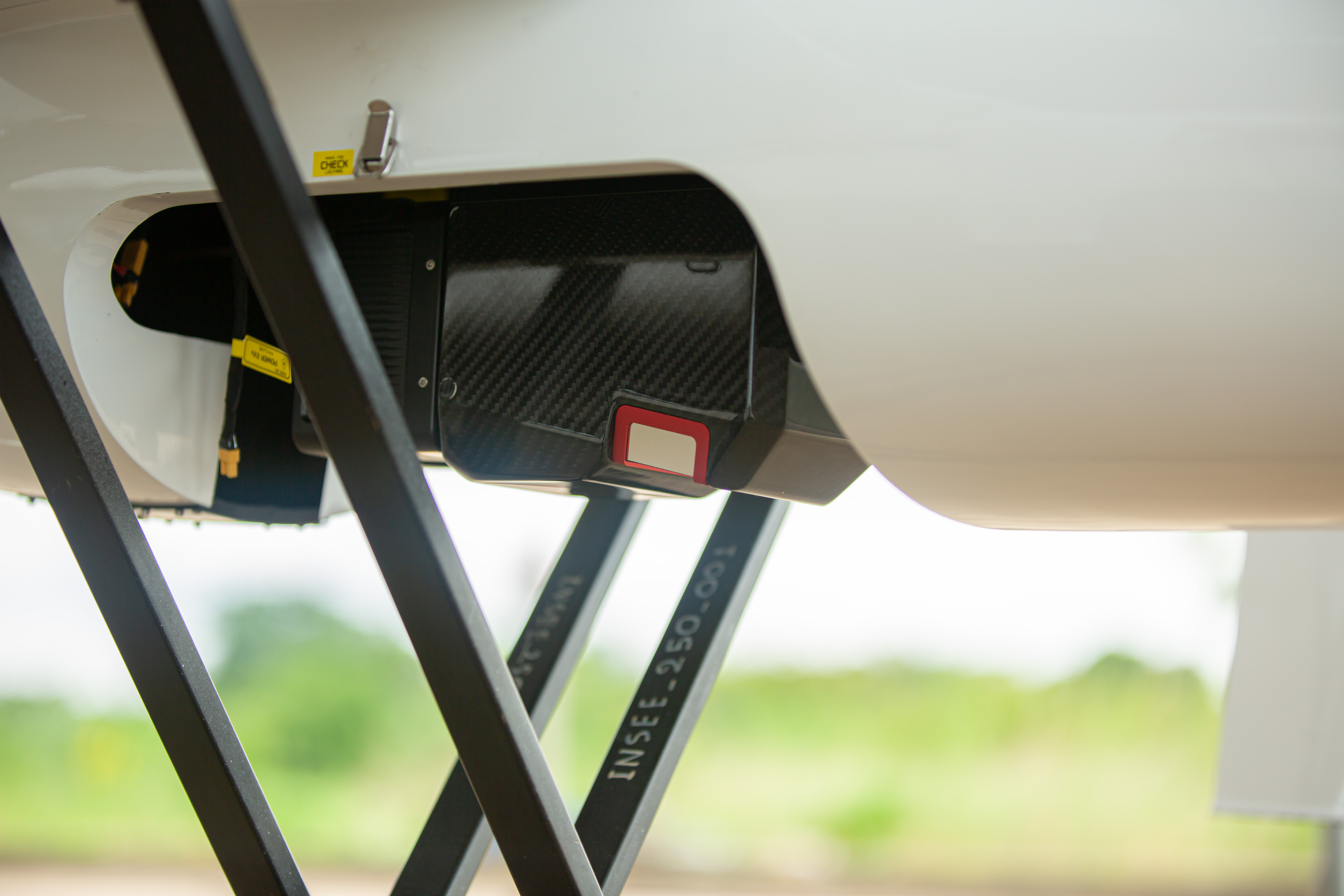
A flagship LiDAR built for long-range missions — up to 1 km range, 1,000,000 points/sec, and Unlimited Waveform Returns. 100° FOV covers wide areas in a single pass — ideal for Long-Range Corridor and Large-Area Survey. Field-proven on INSEE-350 in real Topographic Mapping missions in Thailand.
1 km Long Range
Maximum range of 1,000 m @ 80% reflectivity — fly higher to cover wider areas and reduce flight lines on Large-Area Surveys.
1 Million Points/sec
Throughput up to 1,000,000 pts/sec — produce dense point clouds even at high airspeed, reducing flight time per mission.
Unlimited Waveform Returns
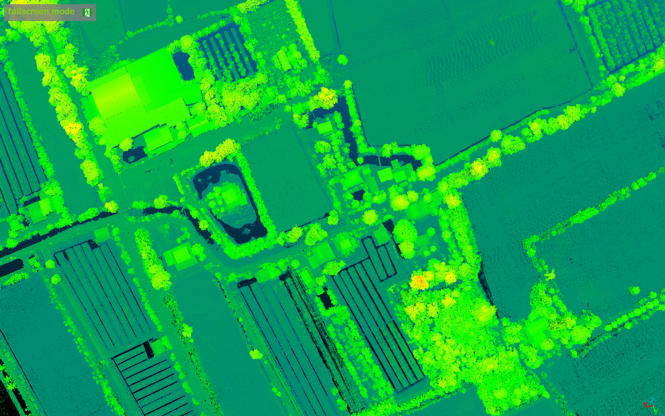
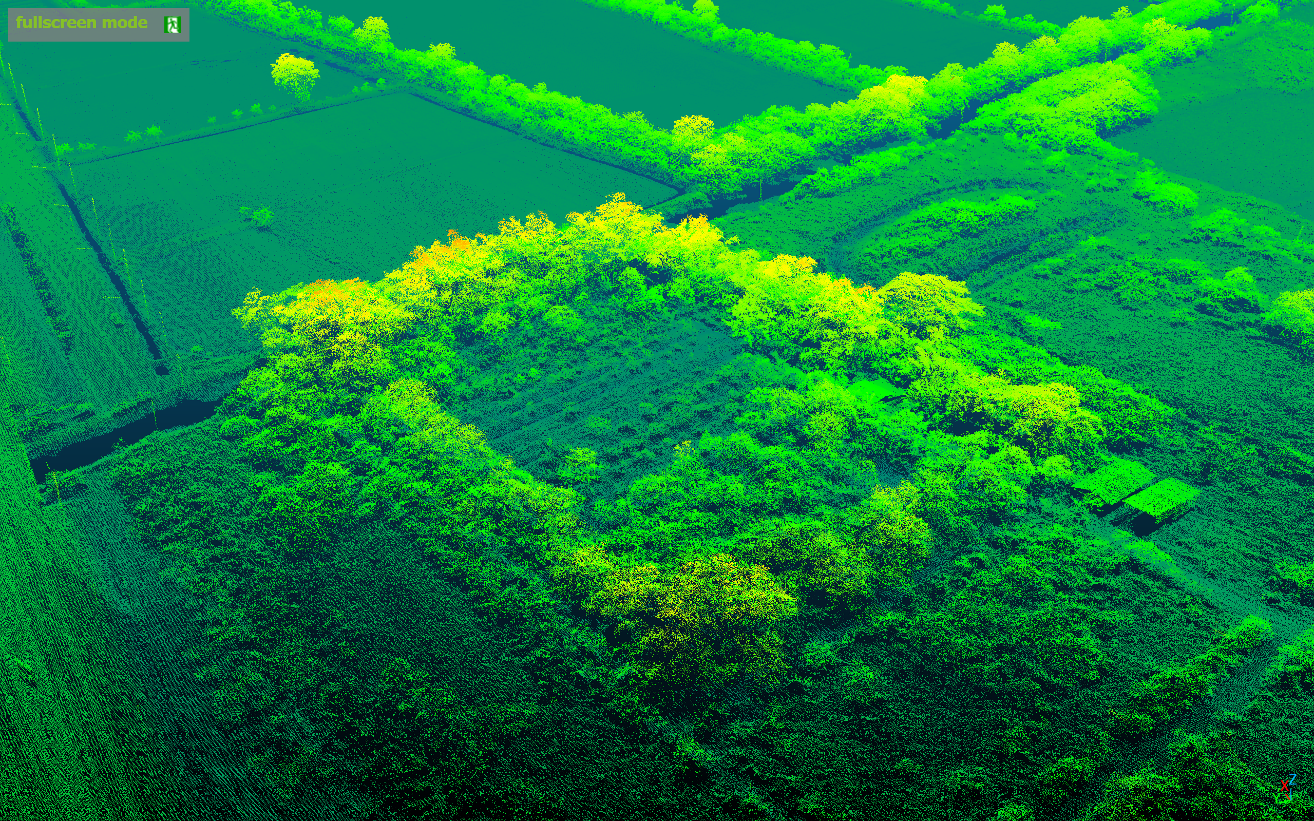
Records Full Waveform for every echo — penetrates dense canopy and accurately extracts bare-earth data beneath vegetation.
100° Wide FOV
100° Horizontal FOV + 1535nm wavelength — wide swath reduces the number of repeat flight lines over large areas.
Specifications.
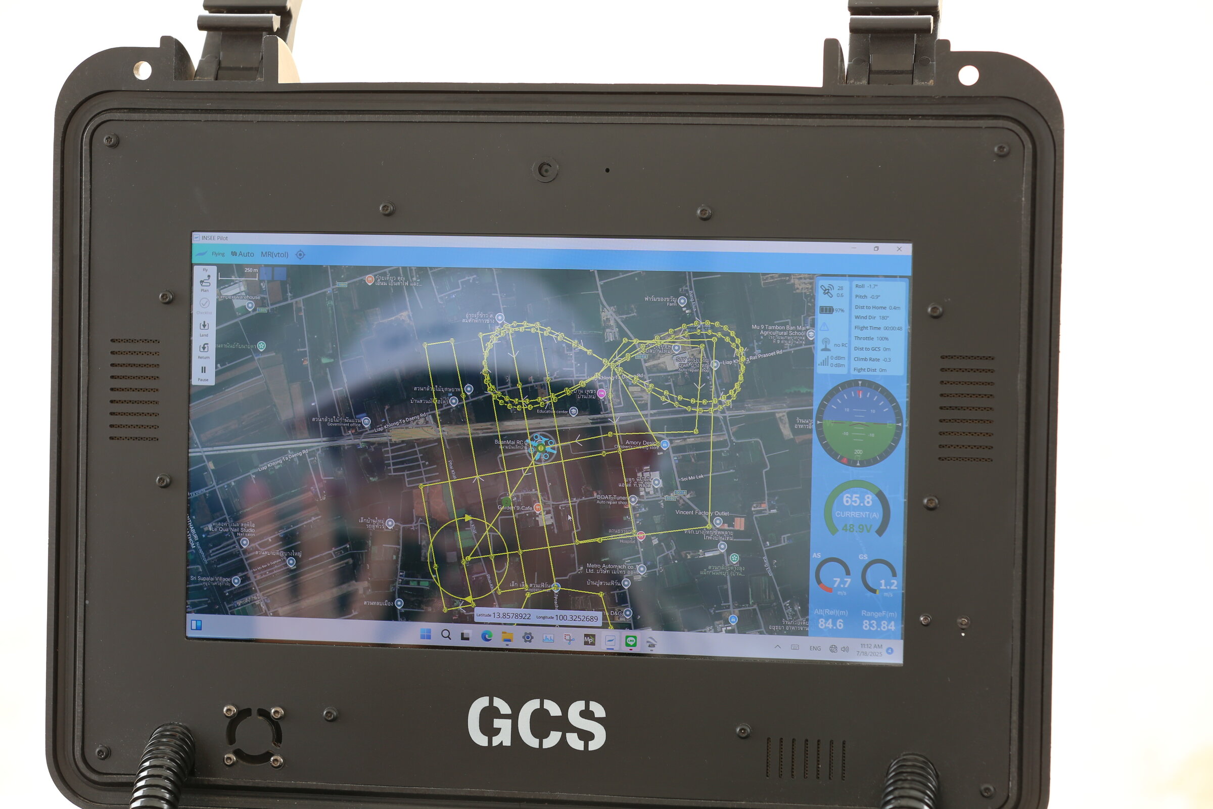
Mission Snapshots.
Mission Results
Mission details — Coverage Area, GSD, Accuracy and Flight Parameters will be published as mission documentation progresses.
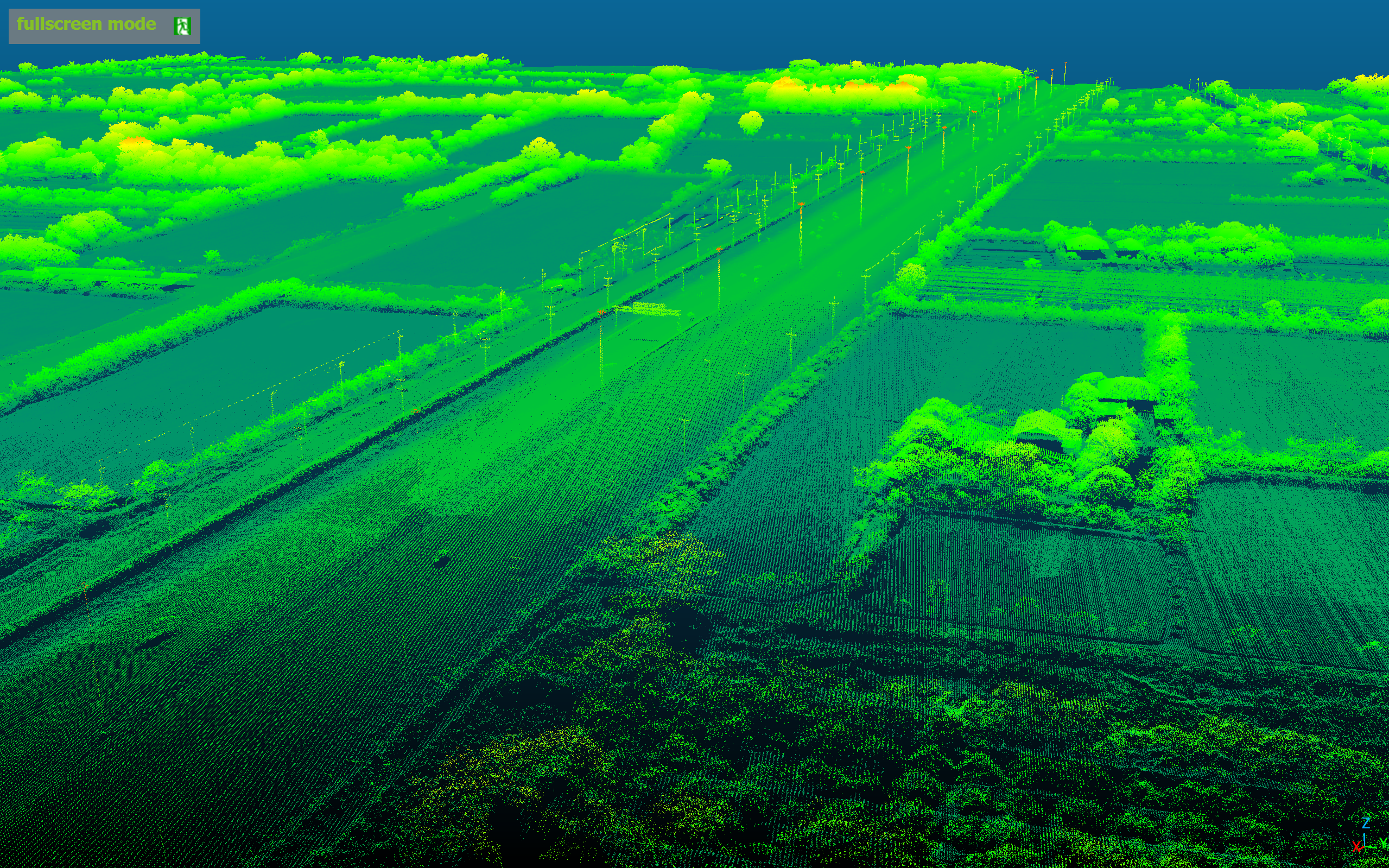
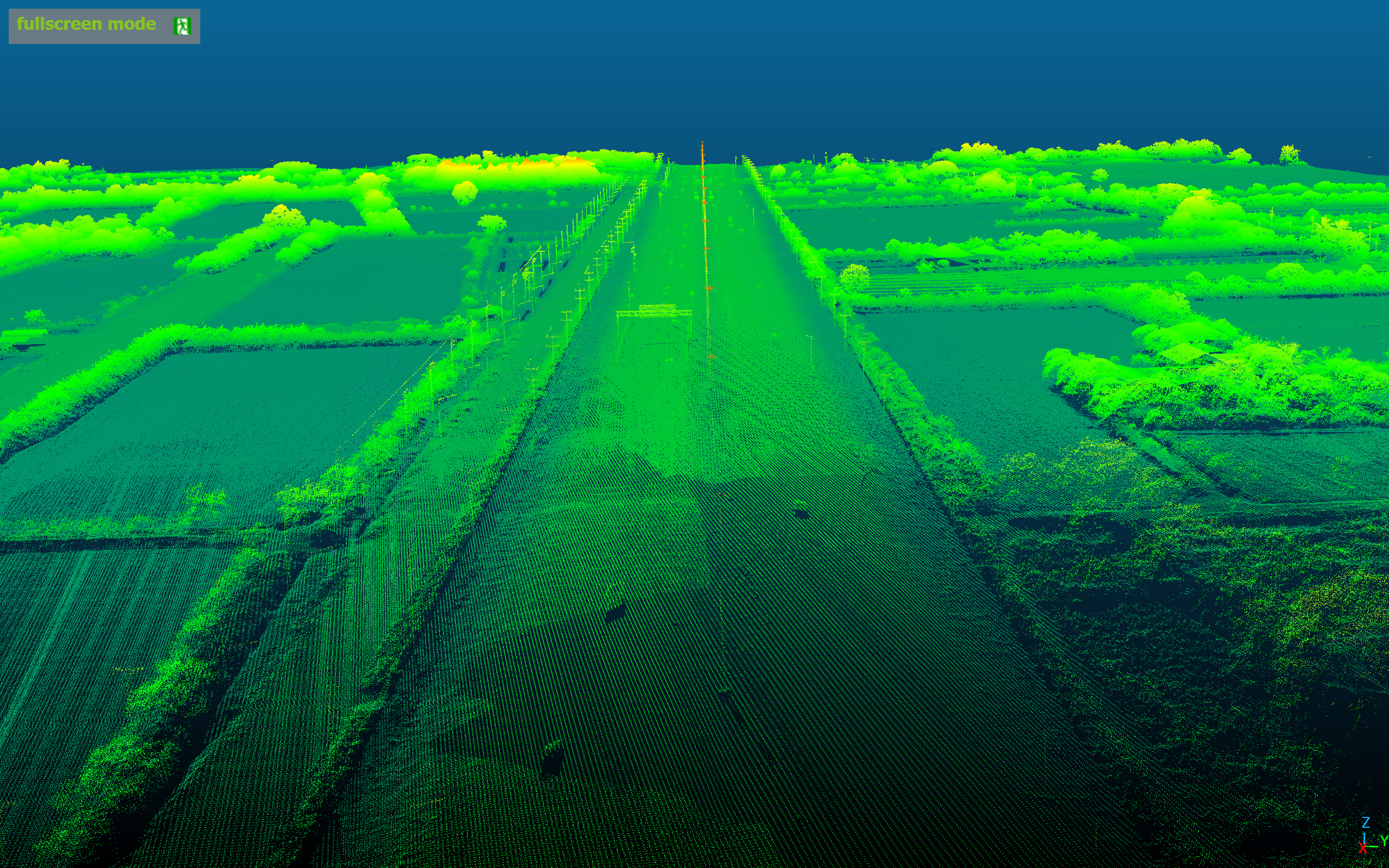
Long-Range LiDAR Showcase.
Click any image to view full-screen detail.
Ready to take your Large-Area Survey to the next level
with the LiAir H800?
Talk to the INSEE UAV team — get expert consultation, live flight demos, and a long-range LiDAR solution for Corridor, Large-Area Survey, and Forestry.
INSEE UAV — Engineered in Thailand · Operated by Thai Sky Vision Co., Ltd.