2.4M Shots/sec
Ultra-Fast Acquisition
Laser pulse rate up to 2.4 million per second, generating up to 12 million points per second — the fastest data acquisition in the UAV LiDAR class.
Sub-cm Precision
0.5 cm @ 1σ
Sub-centimeter precision (0.5 cm) and accuracy (1 cm) — ideal for Engineering Surveys and Infrastructure Inspection that demand the finest detail.
100° FOV
Wide Coverage
A wide 100° × 20° FOV covers more ground per flight line — reducing the number of flight lines and survey time, ideal for Corridor Mapping.
Multi-Platform
UAV & Crewed Aircraft
Compatible with multi-rotor, VTOL UAV, and light aircraft — flies up to 440 m AGL with a 1,250 m laser range, ideal for large-scale projects.
Technical Specifications.
System Components.
Laser Scanner
GNSS / INS
Point Density — UAV (PRR 1800 kHz).
| Flight Speed | 50 m AGL | 80 m AGL | 150 m AGL |
|---|---|---|---|
| 5 m/s | 2,517 pts/m² | 1,573 pts/m² | 839 pts/m² |
| 10 m/s | 1,259 pts/m² | 787 pts/m² | 420 pts/m² |
| 20 m/s | 629 pts/m² | 393 pts/m² | 210 pts/m² |
Point Density — Manned Aircraft (PRR 600 kHz).
| Flight Speed | 150 m AGL | 300 m AGL | 400 m AGL |
|---|---|---|---|
| 20 m/s | 70 pts/m² | 35 pts/m² | 26 pts/m² |
| 30 m/s | 47 pts/m² | 23 pts/m² | 17 pts/m² |
| 35 m/s | 40 pts/m² | 20 pts/m² | 15 pts/m² |
* PRR 1800 kHz for UAV, 600 kHz for manned aircraft — Max recommended height 440m
Hardware
- YellowScan Voyager (AP+ 30 Air or AP+ 50 Air IMU option)
- Rugged Pelicase carry case
- 2 batteries
- GNSS Antenna + Cable
- 2 USB Flash Drives
- User documentation
Services
- 1-year warranty + unlimited Technical Support
- In-person or online Training
- Boresight Calibration Certificate
- Local Support by Thai Sky Vision, Official Distributor in Thailand
Software
- Applanix POSPac — Post-process GNSS/INS data
- CloudStation Essential — Visualize, inspect, colorize & export
- Upgradeable to Pro or Ultimate
CloudStation
Visualize, inspect, and colorize from orthophotos, then export ready-to-use data — included in the package.
CloudStation
Adds Data Quality Refinement, Classification, Color Enrichment and advanced export features.
CloudStation
Every feature included — Orthophoto Generation and Command Line (ytk) for automation and batch processing.
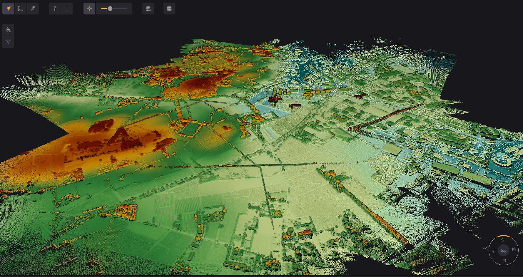
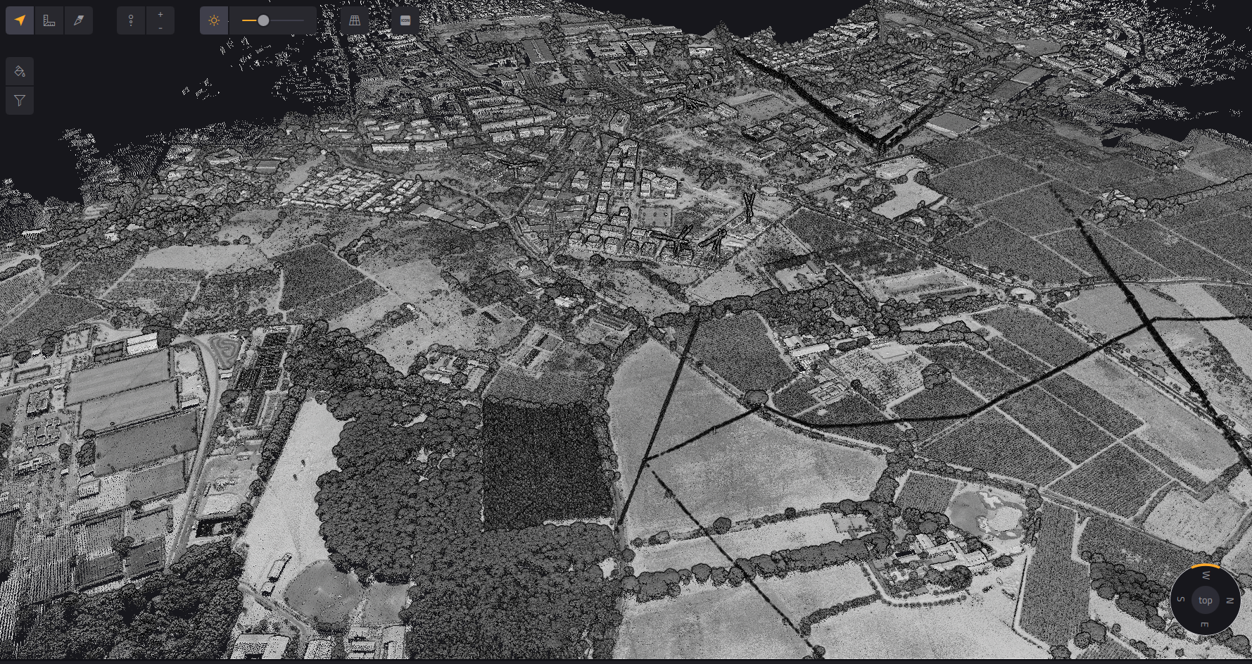
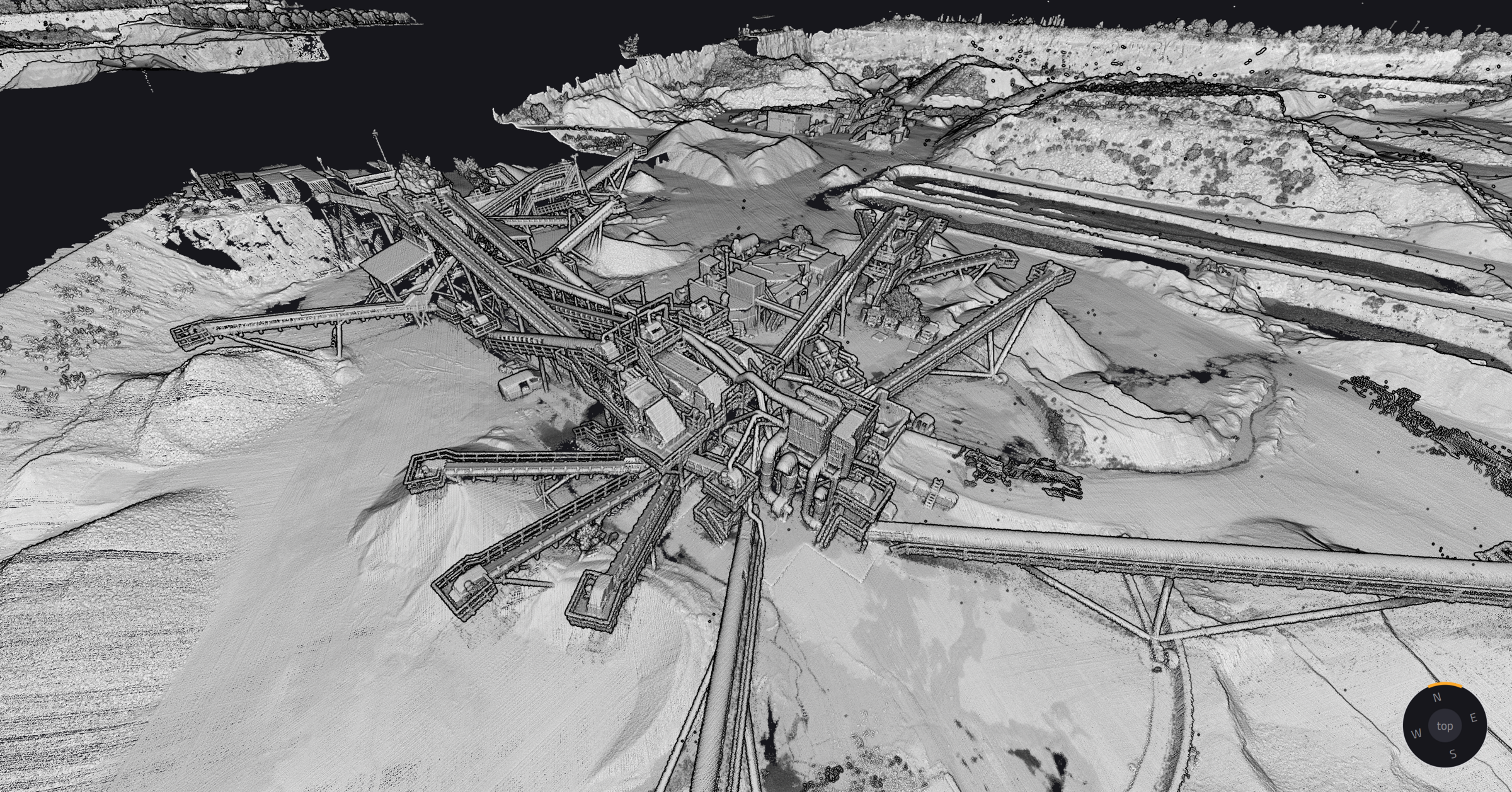
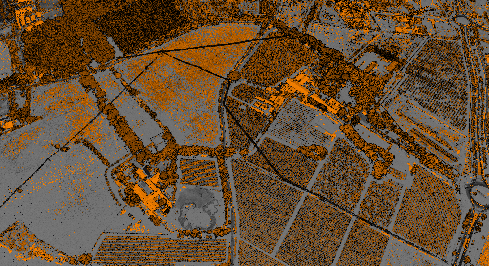
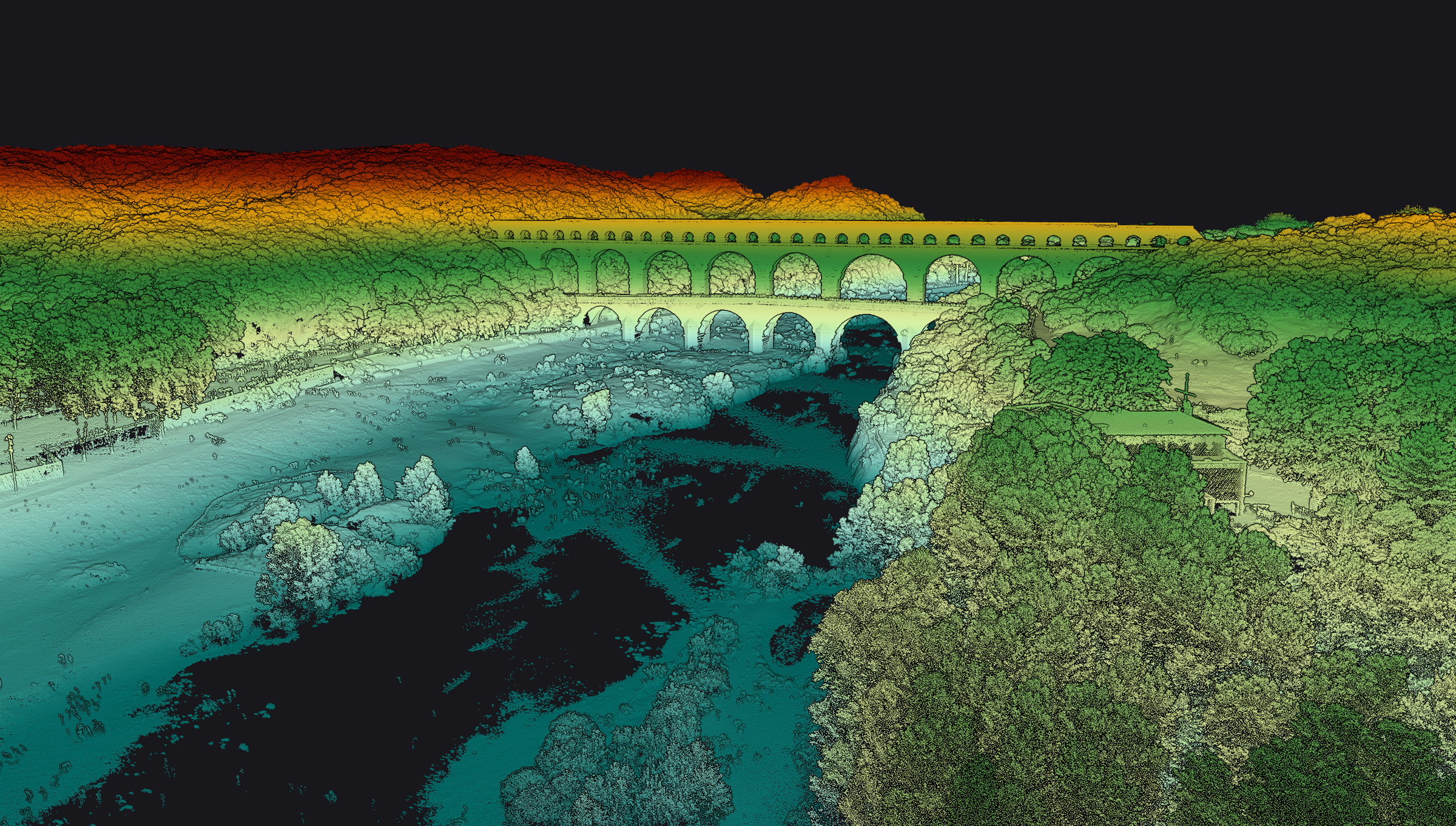
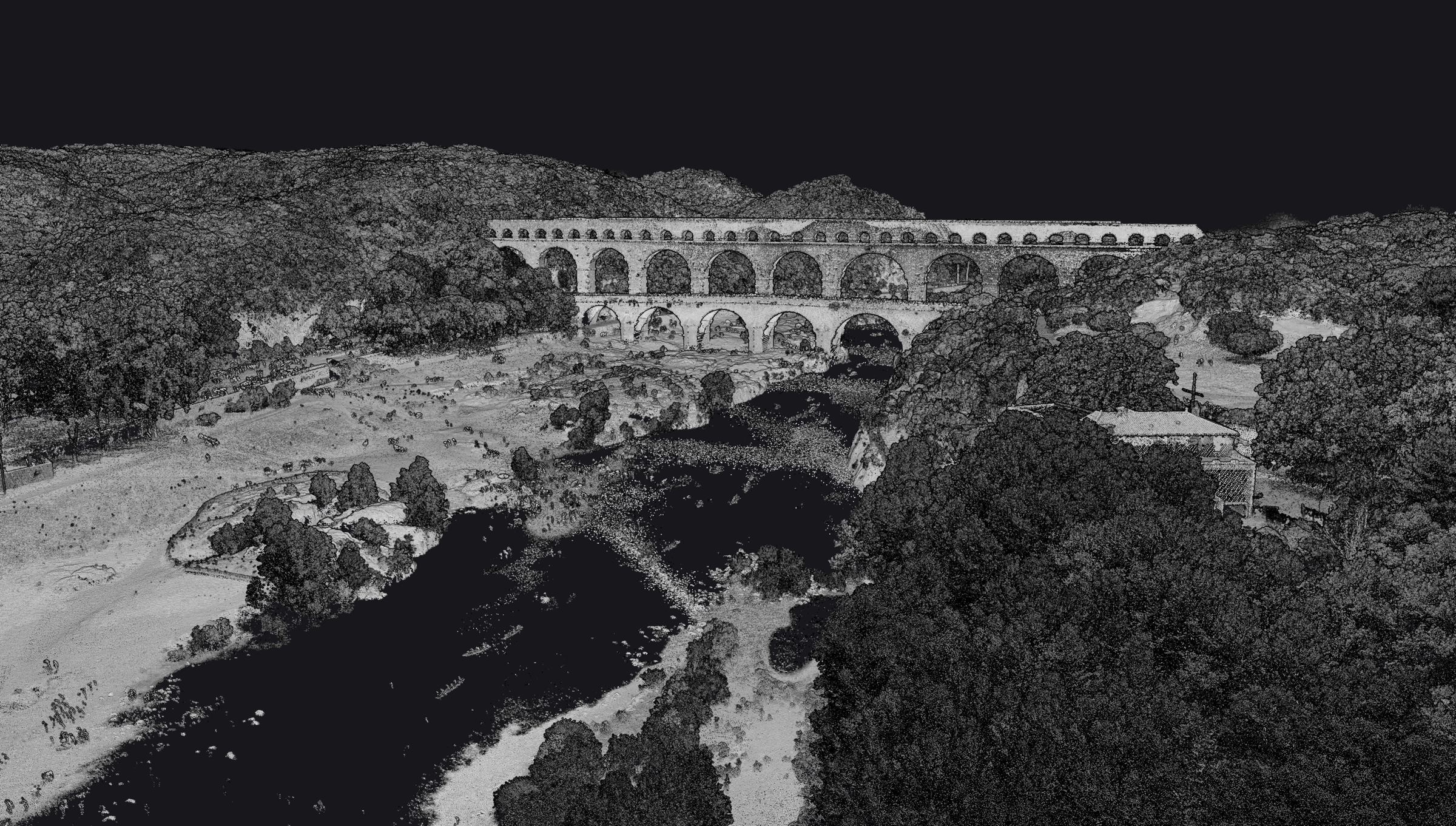
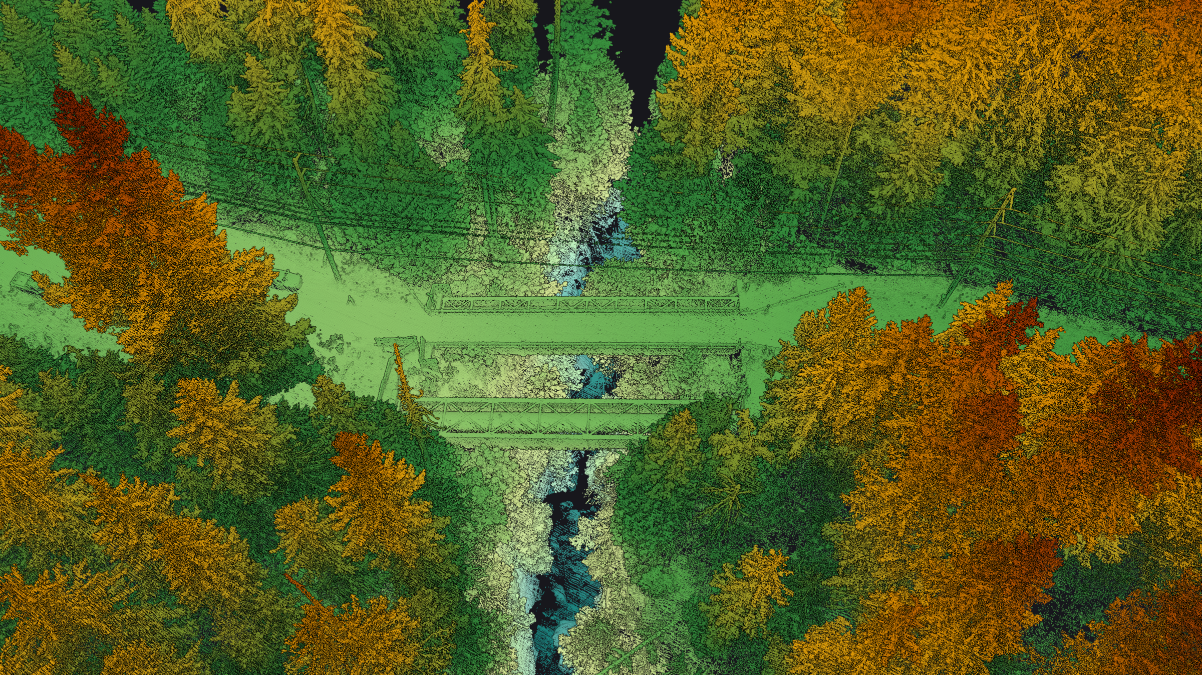
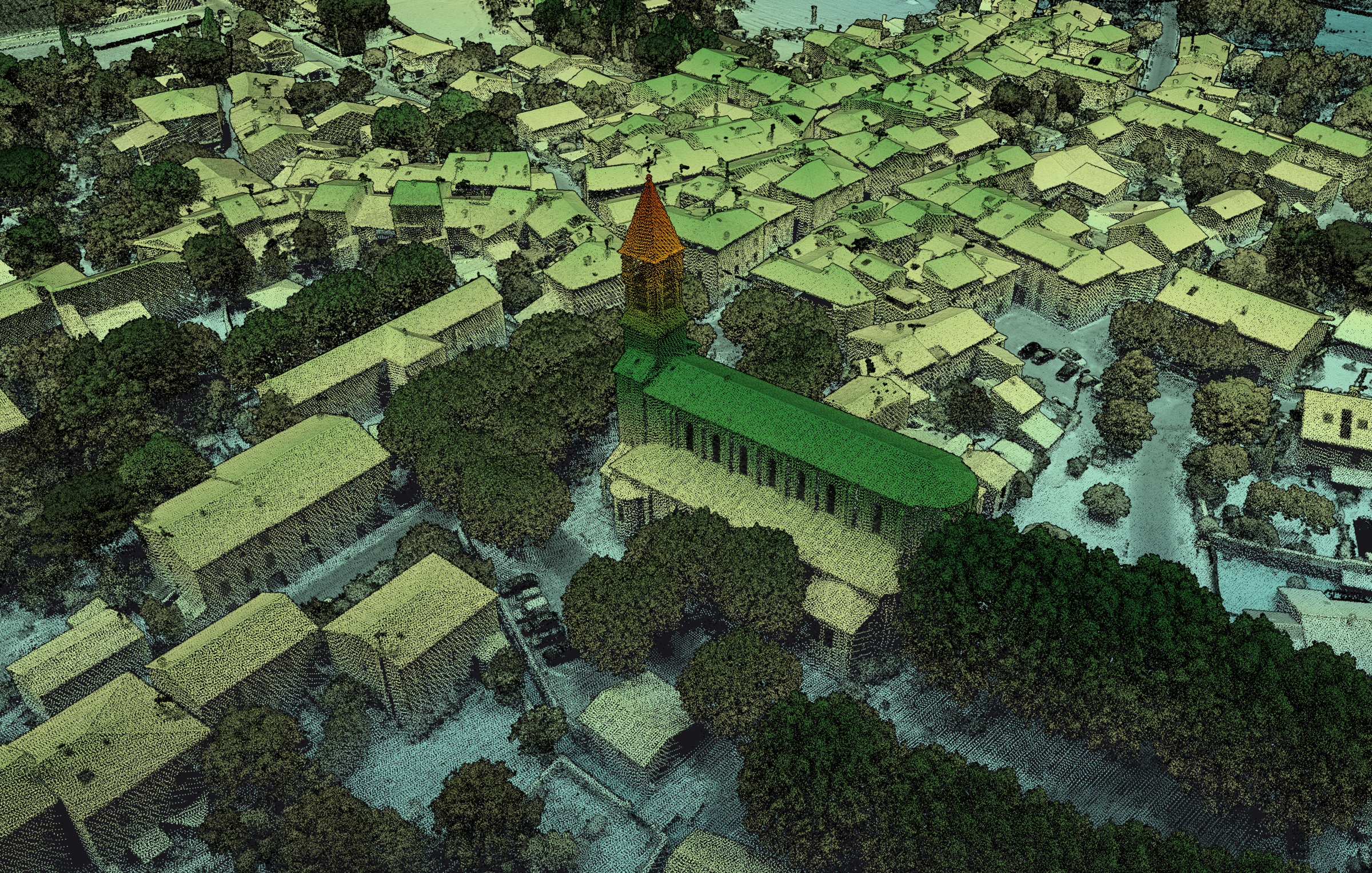
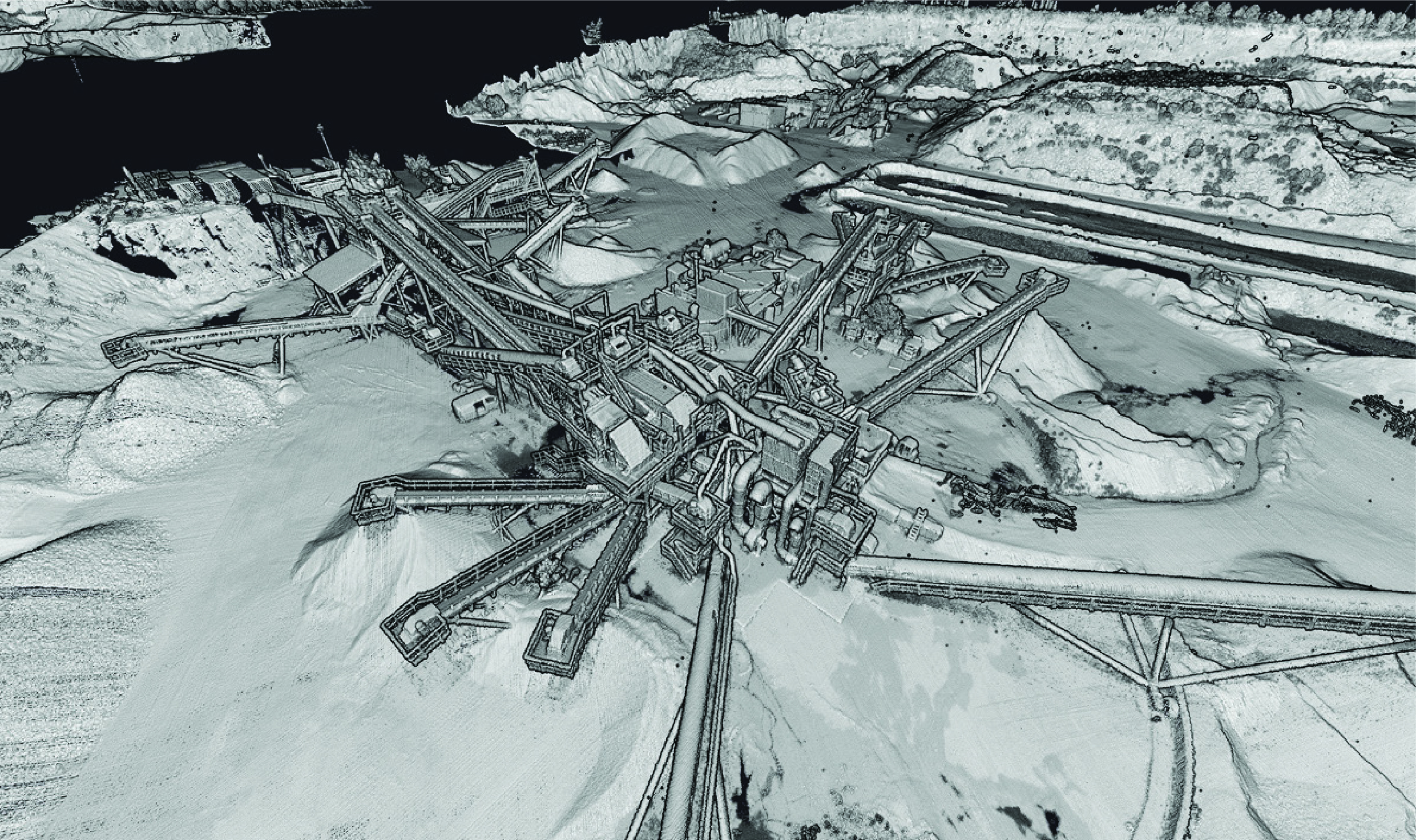
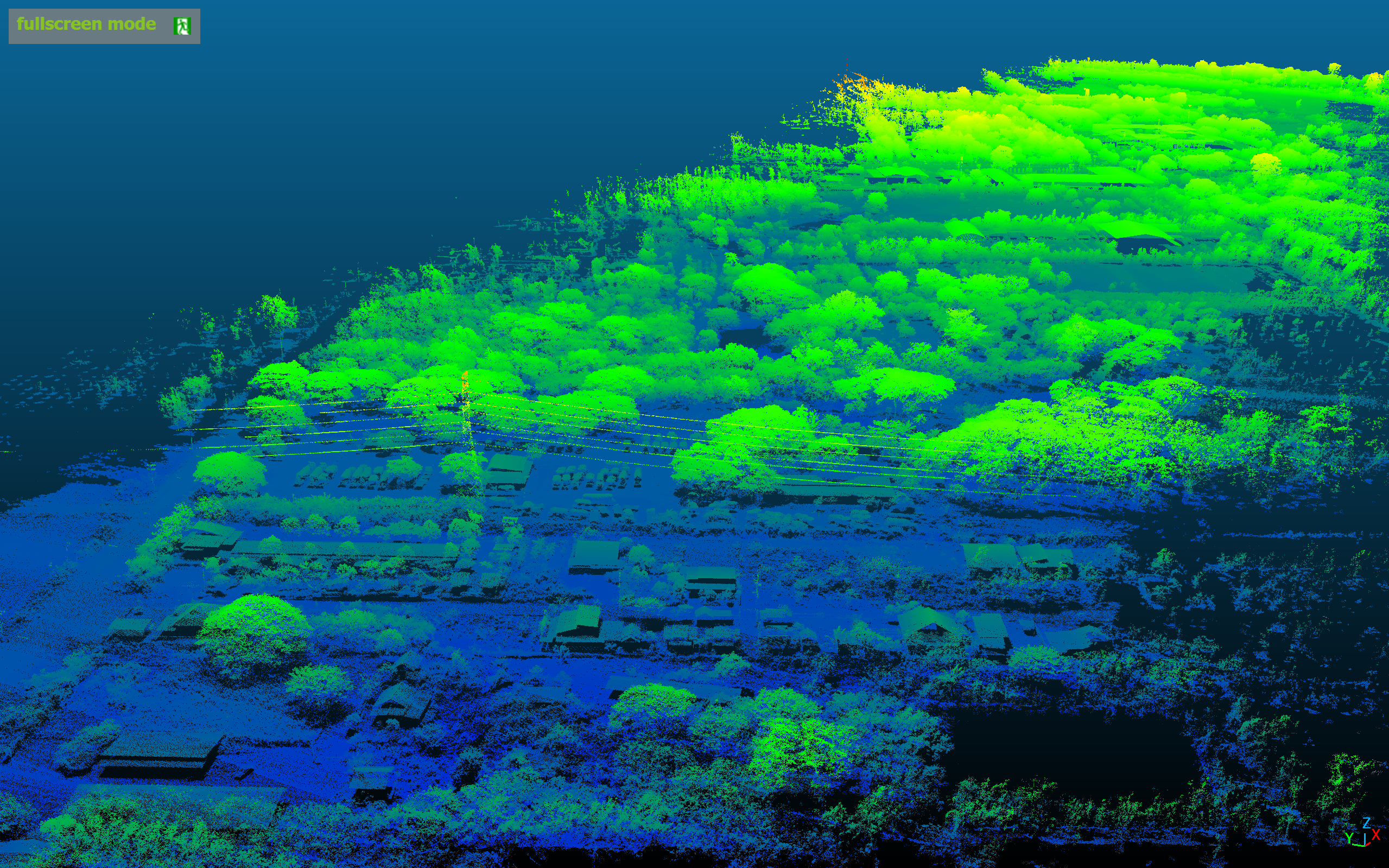
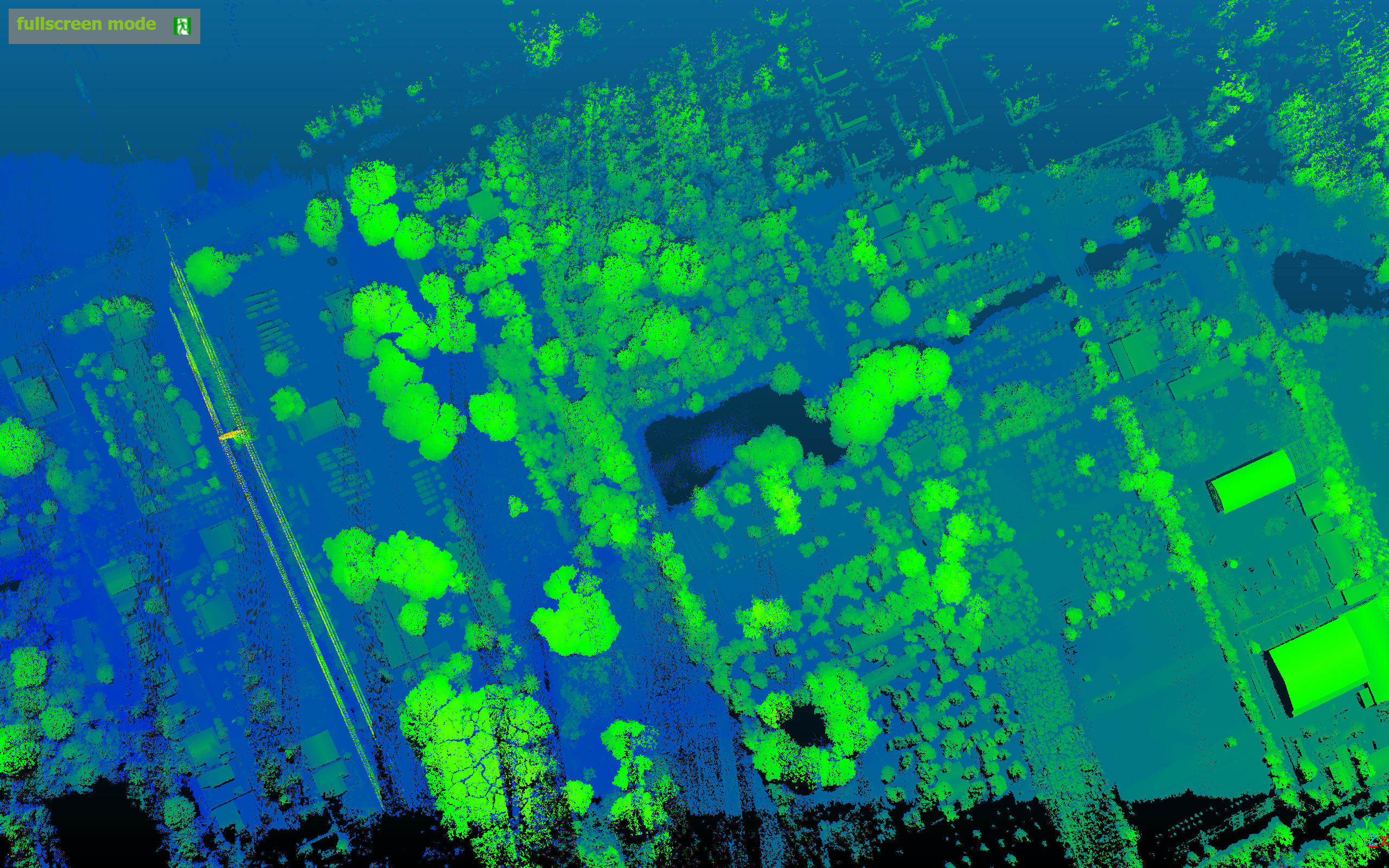
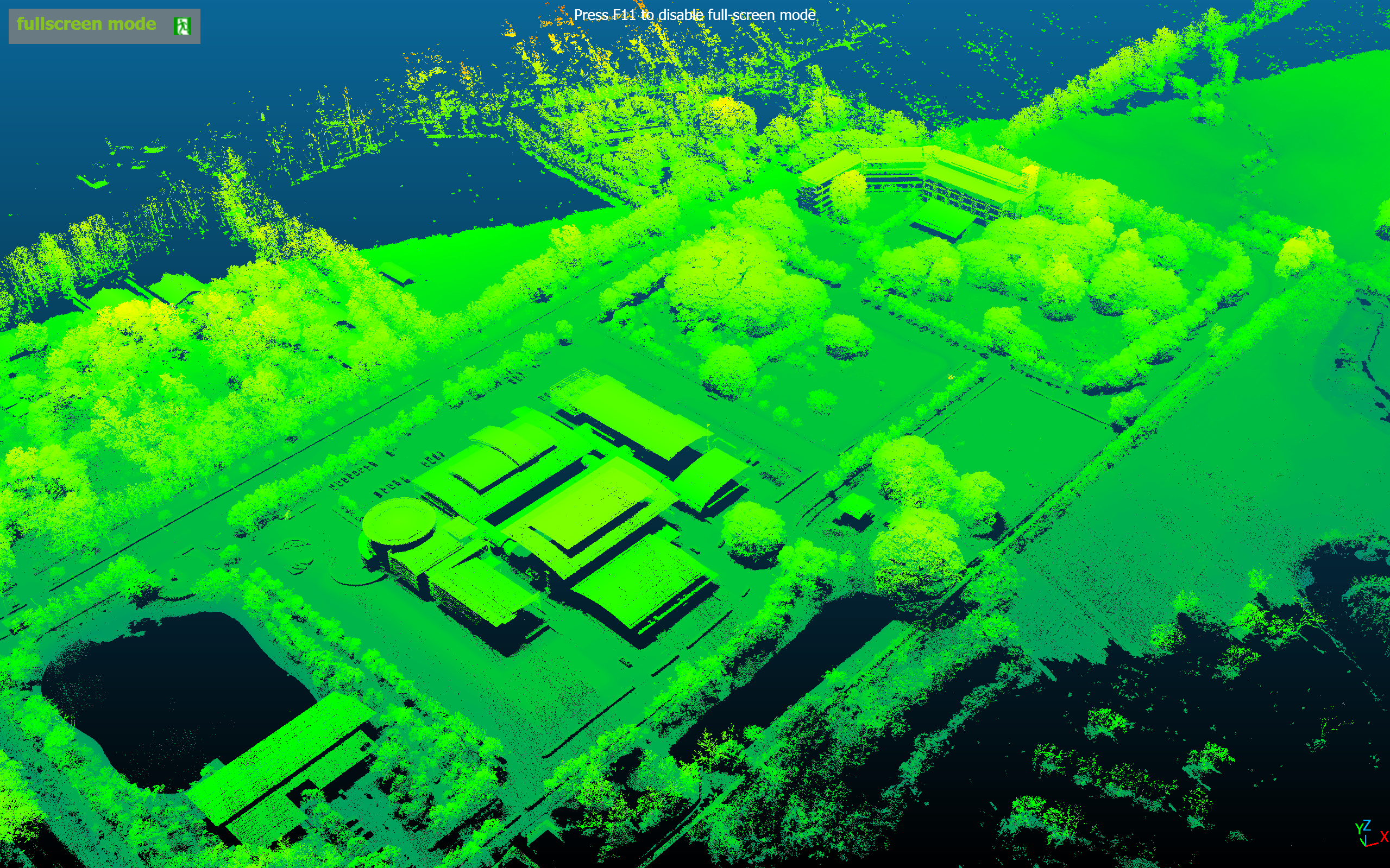
Note: These reference images are from YellowScan global portfolio — not from INSEE UAV missions — shown to demonstrate sensor capability.
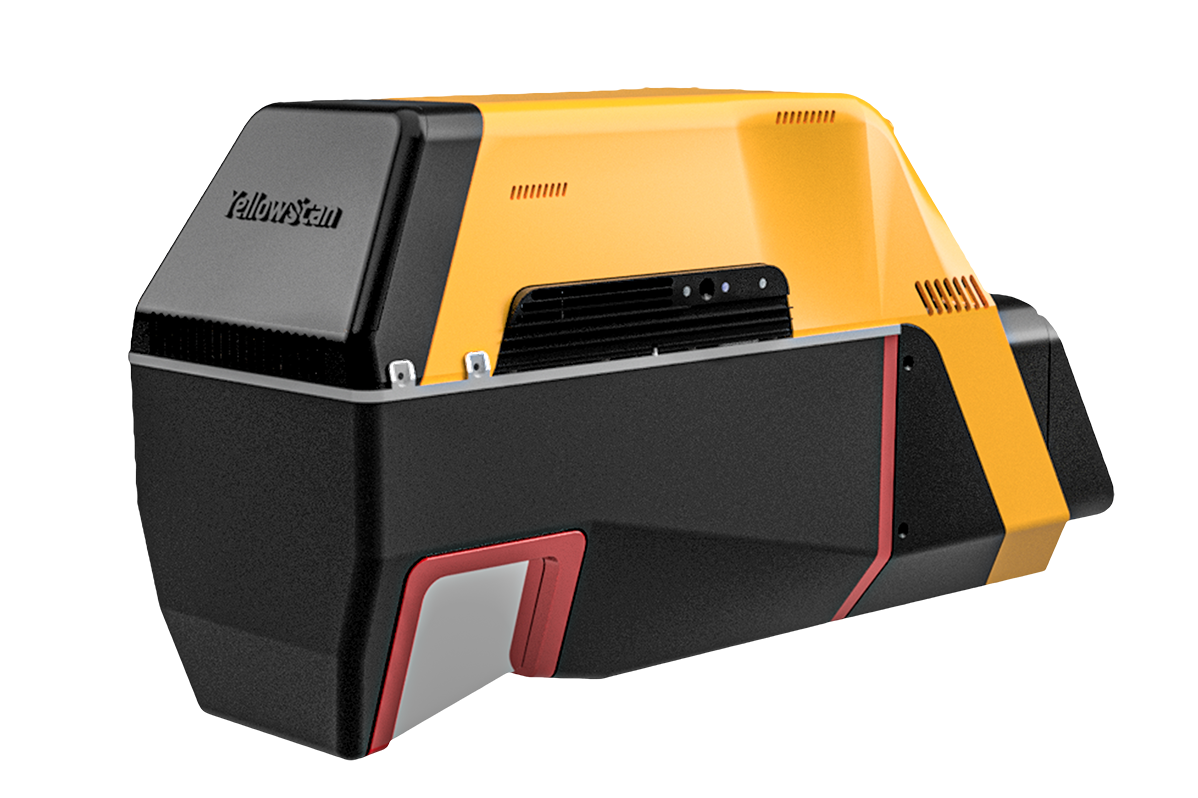
Voyager on INSEE-350.
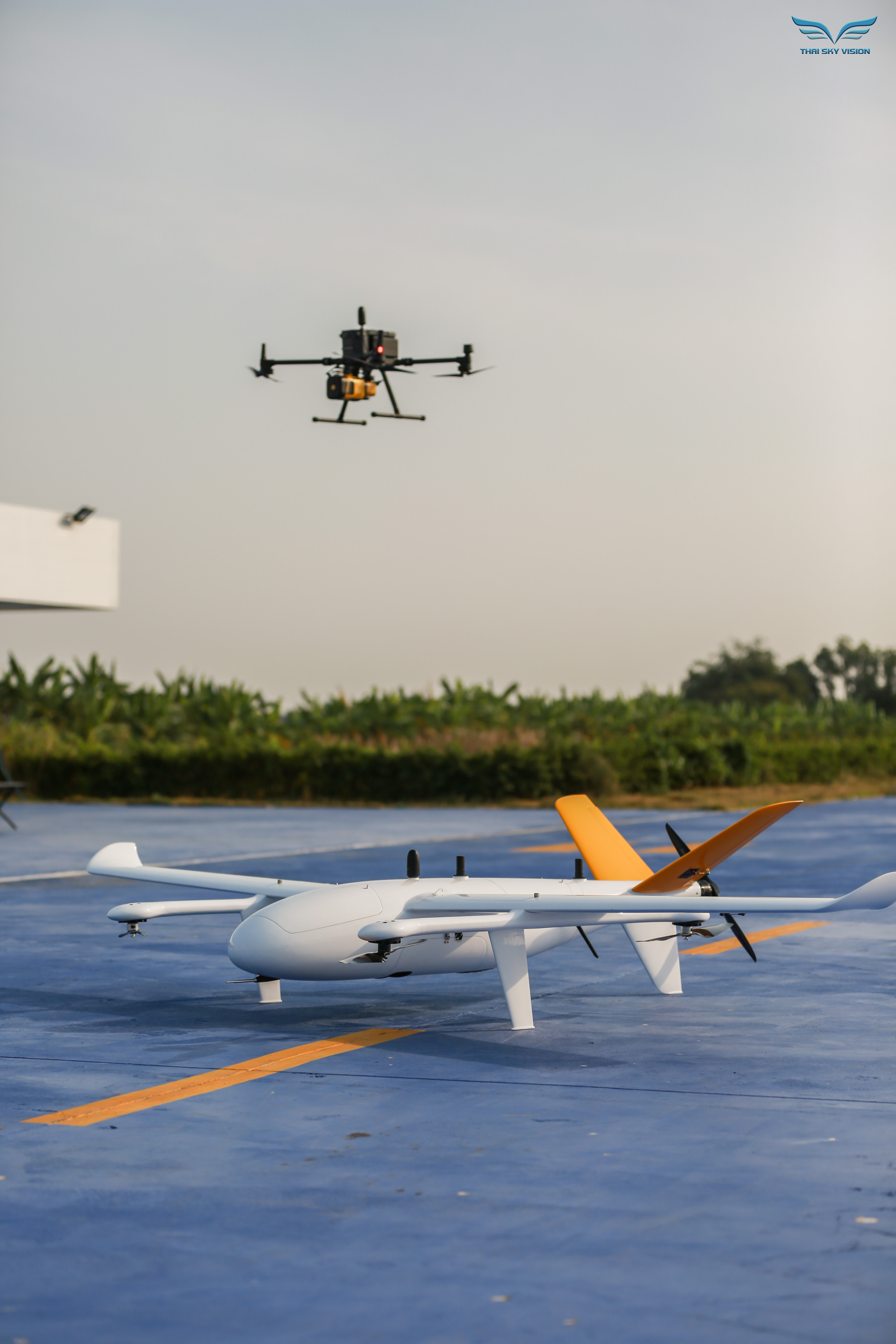
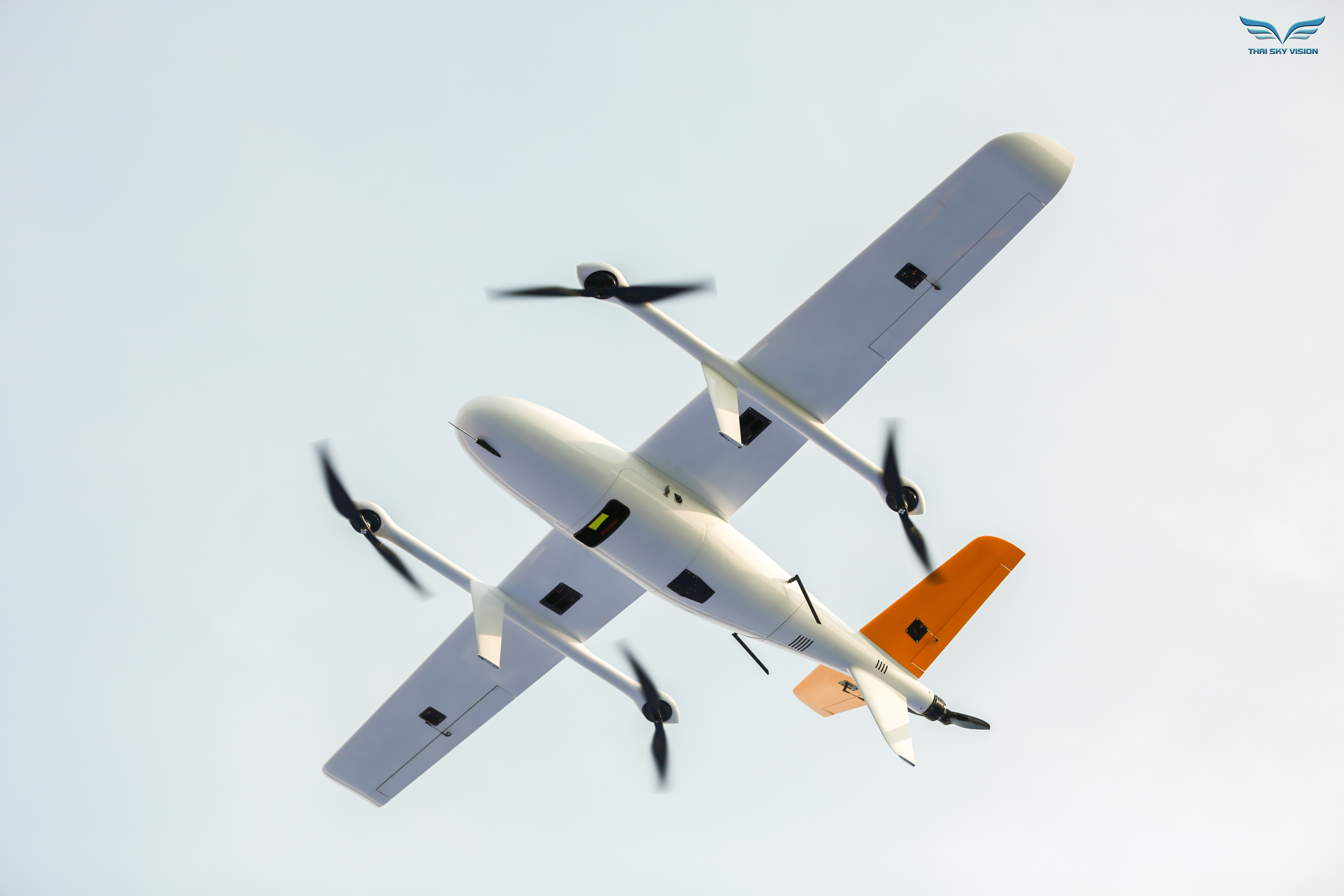
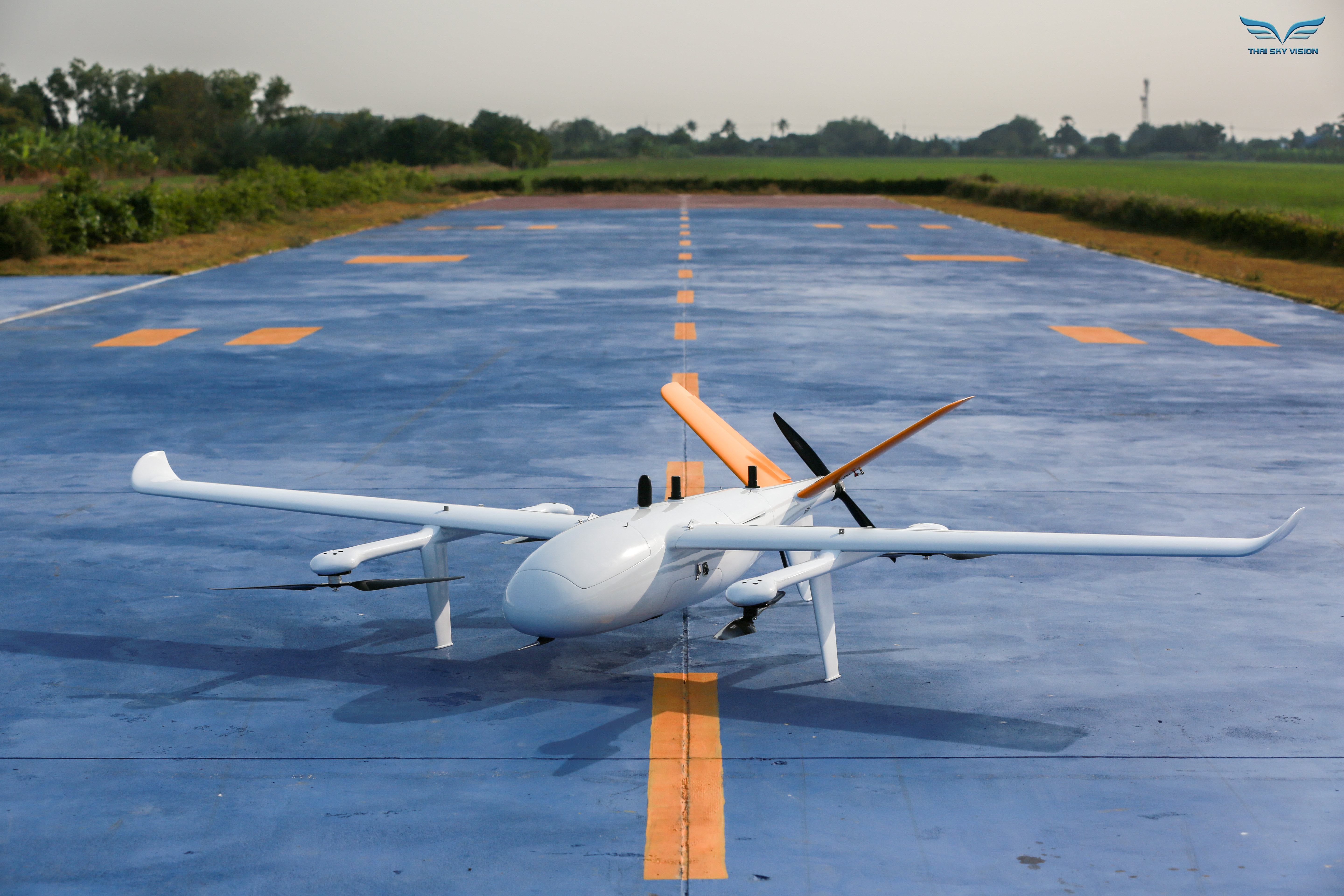
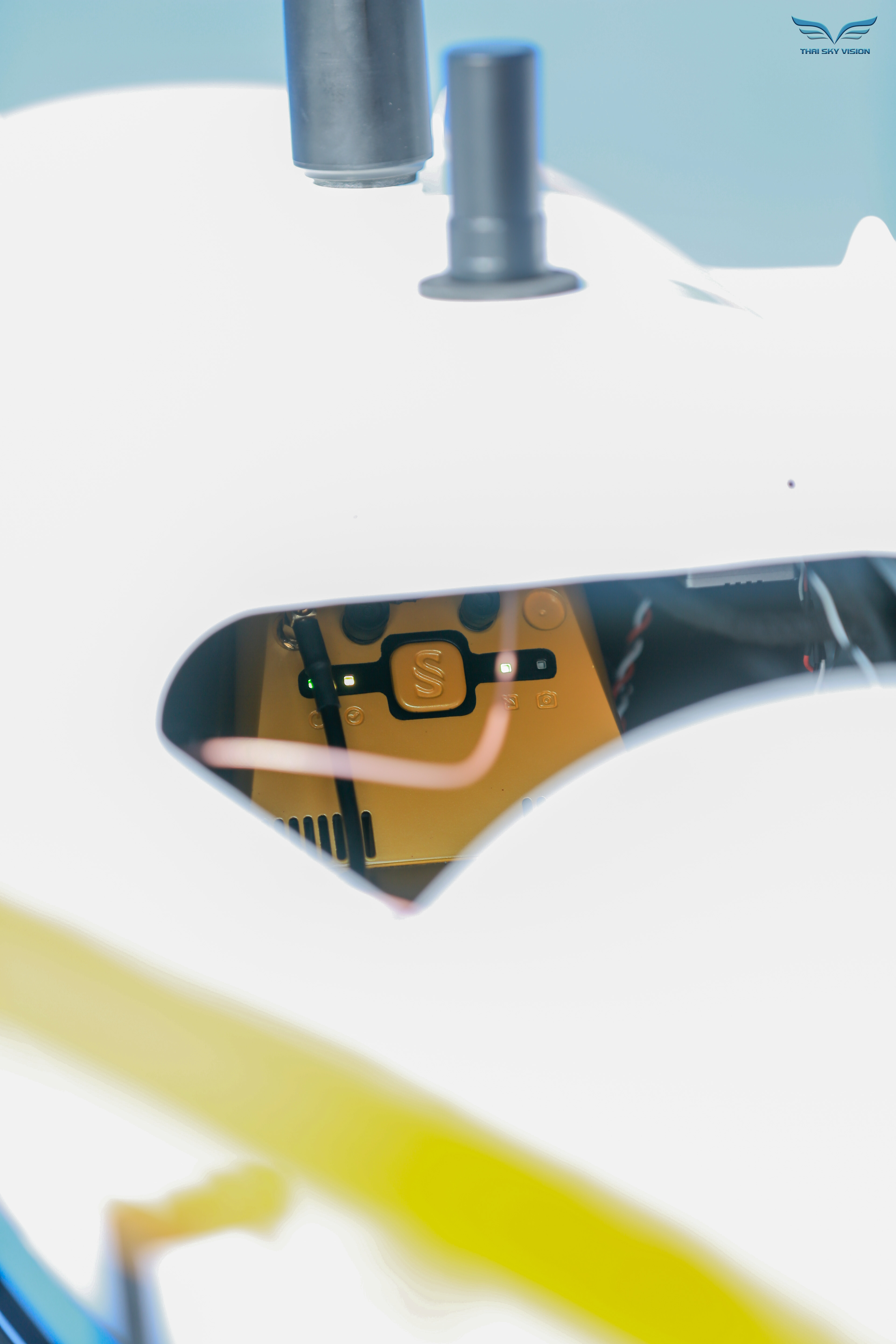
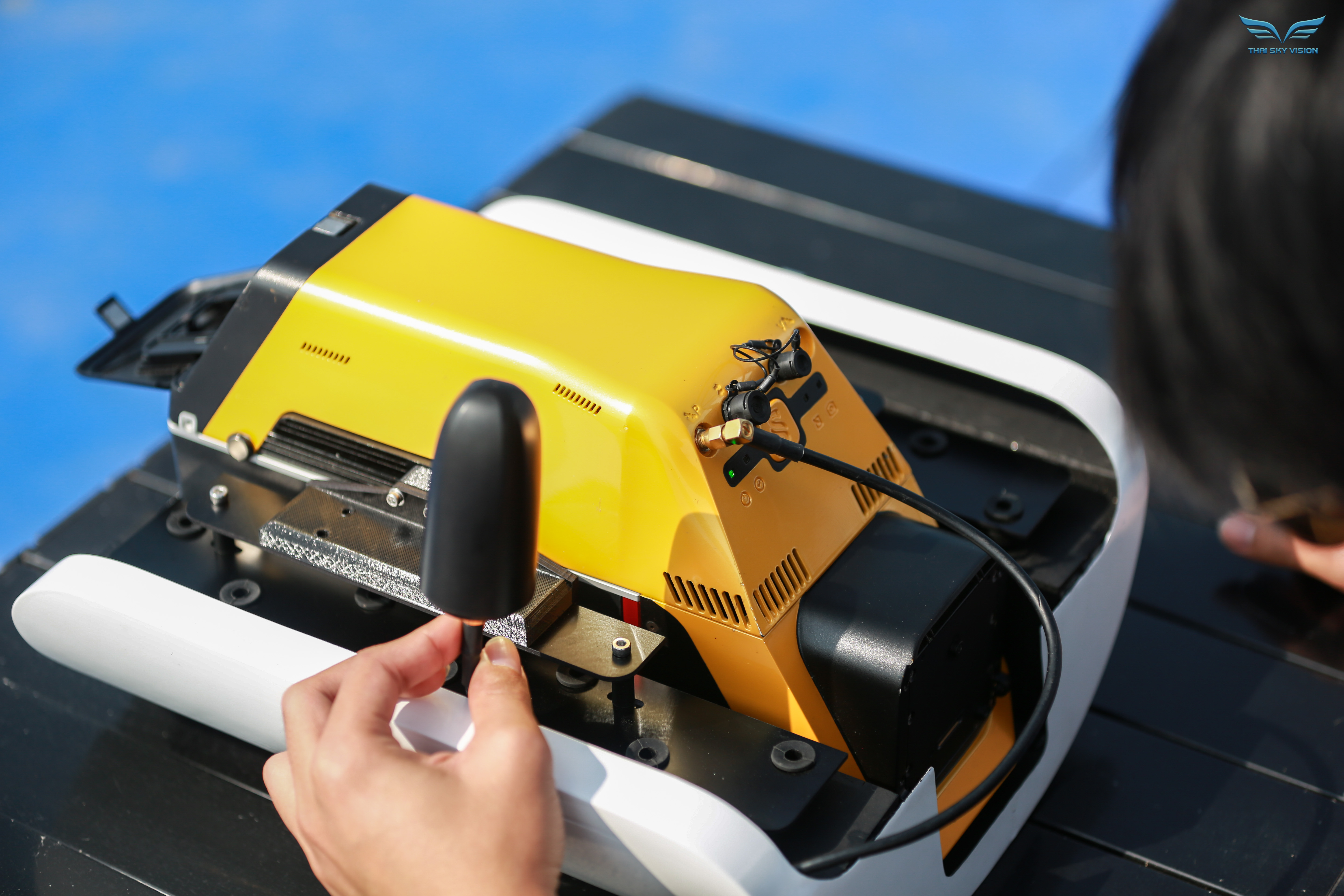
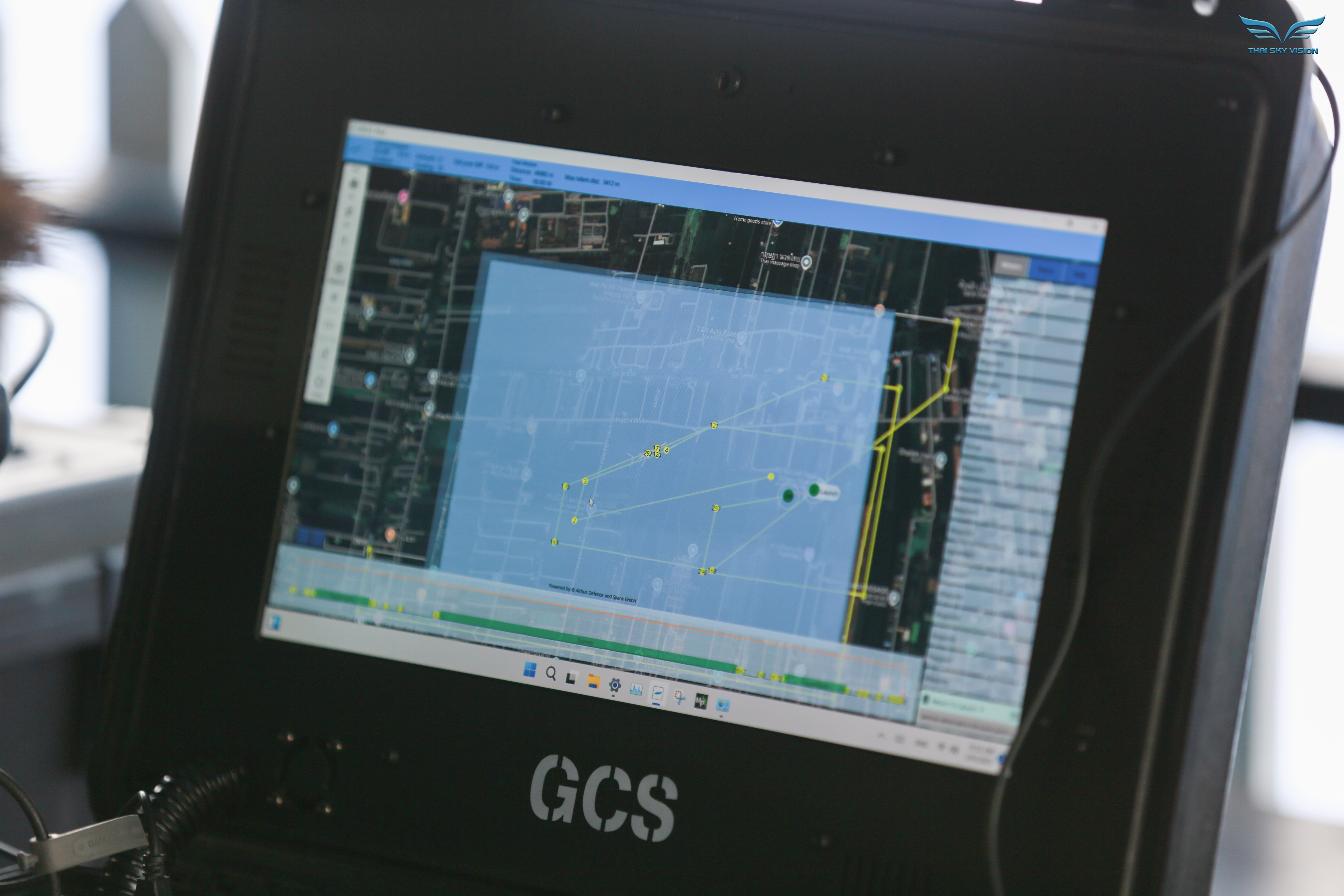
Real photos: Real installation and field operation imagery of INSEE-350 + YellowScan Voyager.
Ready to survey without limits
with Voyager?
Contact Thai Sky Vision, Official YellowScan Distributor in Thailand — for consultation, Long-Range LiDAR demos, and full After-Sales Support.
Thai Sky Vision Co., Ltd. — Official YellowScan Distributor in Thailand