Highlights
Why CloudStation Viewer
- ✓ Download and use for free — no cost involved
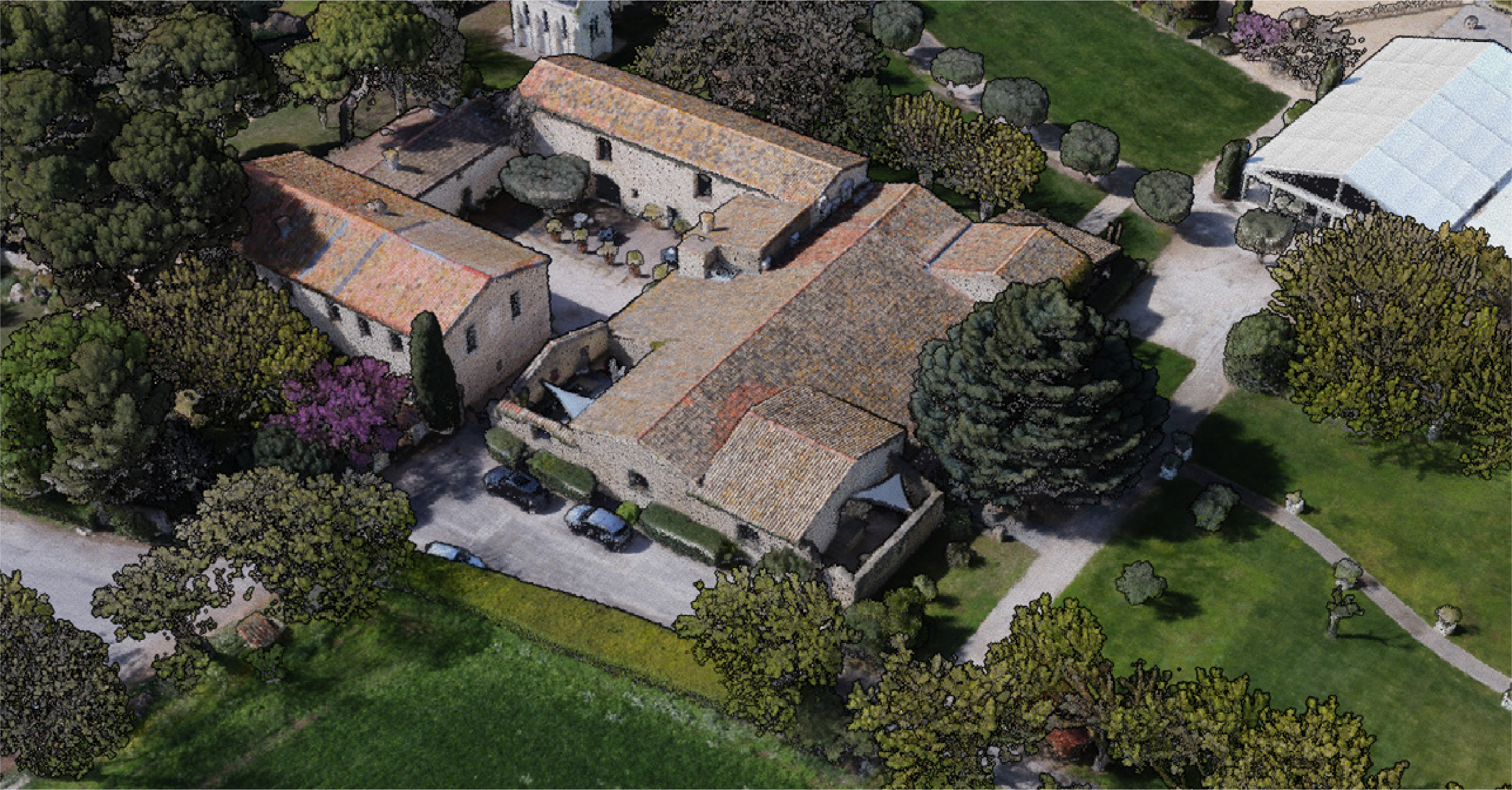
- ✓ Supports Point Cloud formats: LAS, LAZ
- ✓ Visualize GCPs from TXT and CSV files
- ✓ Designed for YellowScan LiDAR data and compatible with other LiDAR brands
- ✓ Distance and height measurement tools, plus cross-section cuts
- ✓ Handles large datasets from millions to billions of points
- ✓ Open multiple files at the same time
- ✓ Multiple display modes — color, elevation, return, ground
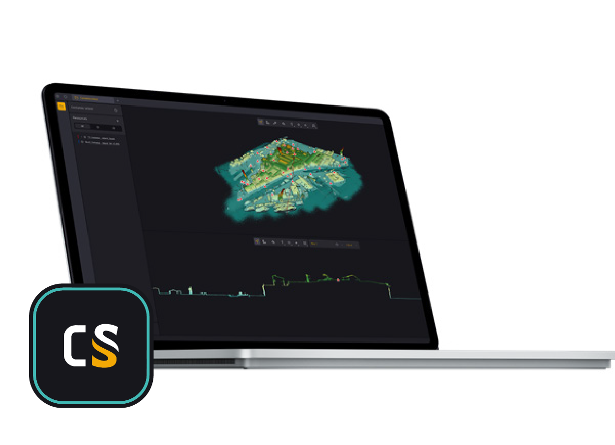
See It in Action
What It Does
3D Navigation
Smooth & Fast
Smooth 3D navigation across Point Clouds of any size — custom proprietary viewer built for maximum performance. Zoom, translate and rotate fluidly.
Slices
New Perspectives
Slice data in two clicks — view canopy, roads or any area from a new angle and uncover perspectives hidden in your data.
Measuring Tool
Precise Inspection
Measure distances and inspect data with precision — export measurements for reports instantly.
Display & Filter
See What Matters
Display only the data you need with Visualization tools — create Mixes to show multiple datasets at once and filter by values with ease.
Key Features
Capabilities.
Intuitive
Graphical Interface
Easy
Import, No Limit
360°
3D Navigation
2 Clicks
Slices
Measure
with Export
Display
& Filter Tools
Control
Built-in Catalog
Auto
Updates
System Requirements
Windows
10/11
FREE
Price
Auto
Updates
No
License Required
YellowScan
×
INSEE UAV
View Point Clouds for free
with CloudStation Viewer
Download free from YellowScan — or contact Thai Sky Vision to upgrade to full CloudStation.
Thai Sky Vision Co., Ltd. — Official YellowScan Distributor in Thailand