Riebo Tech · Master Oblique Camera
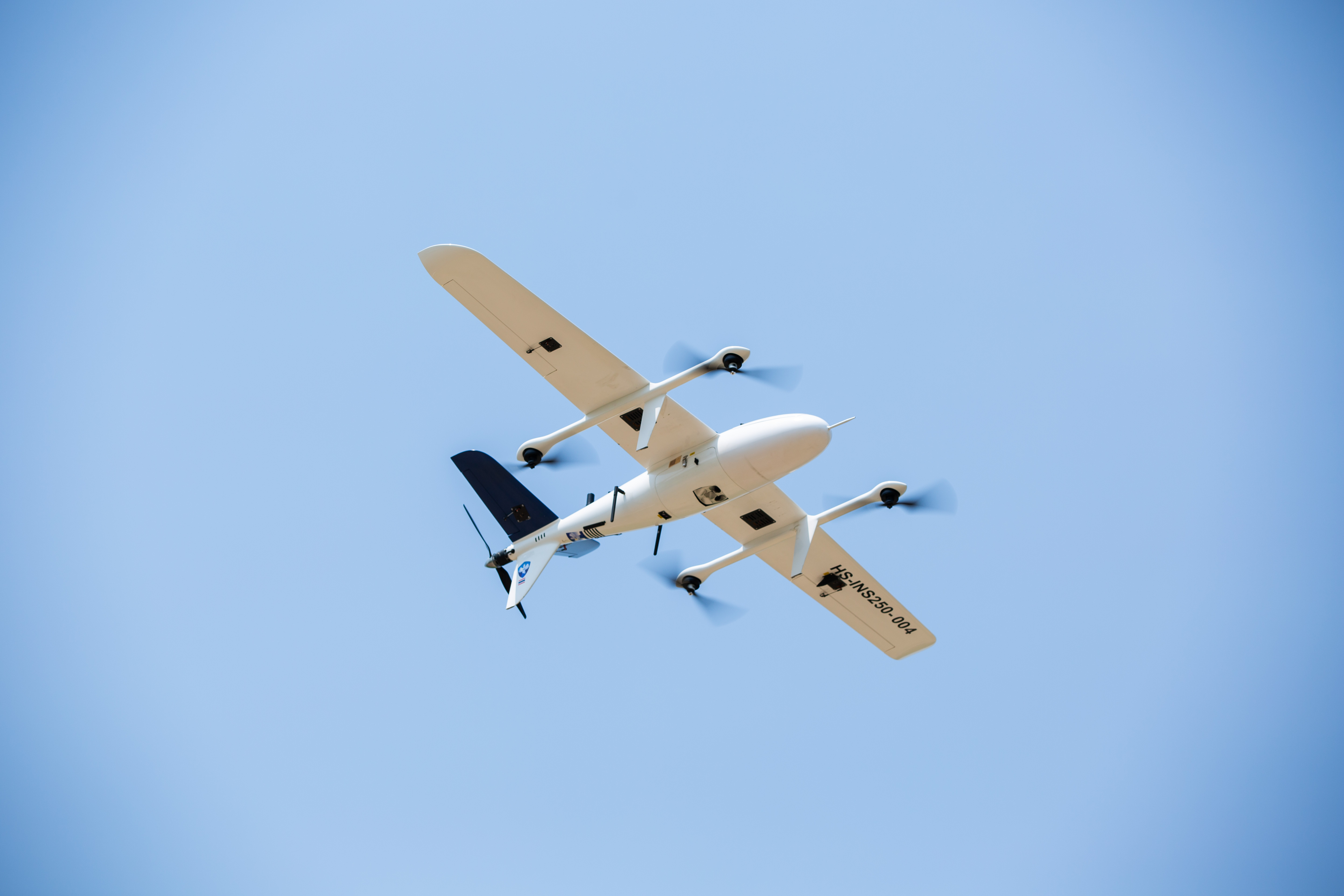
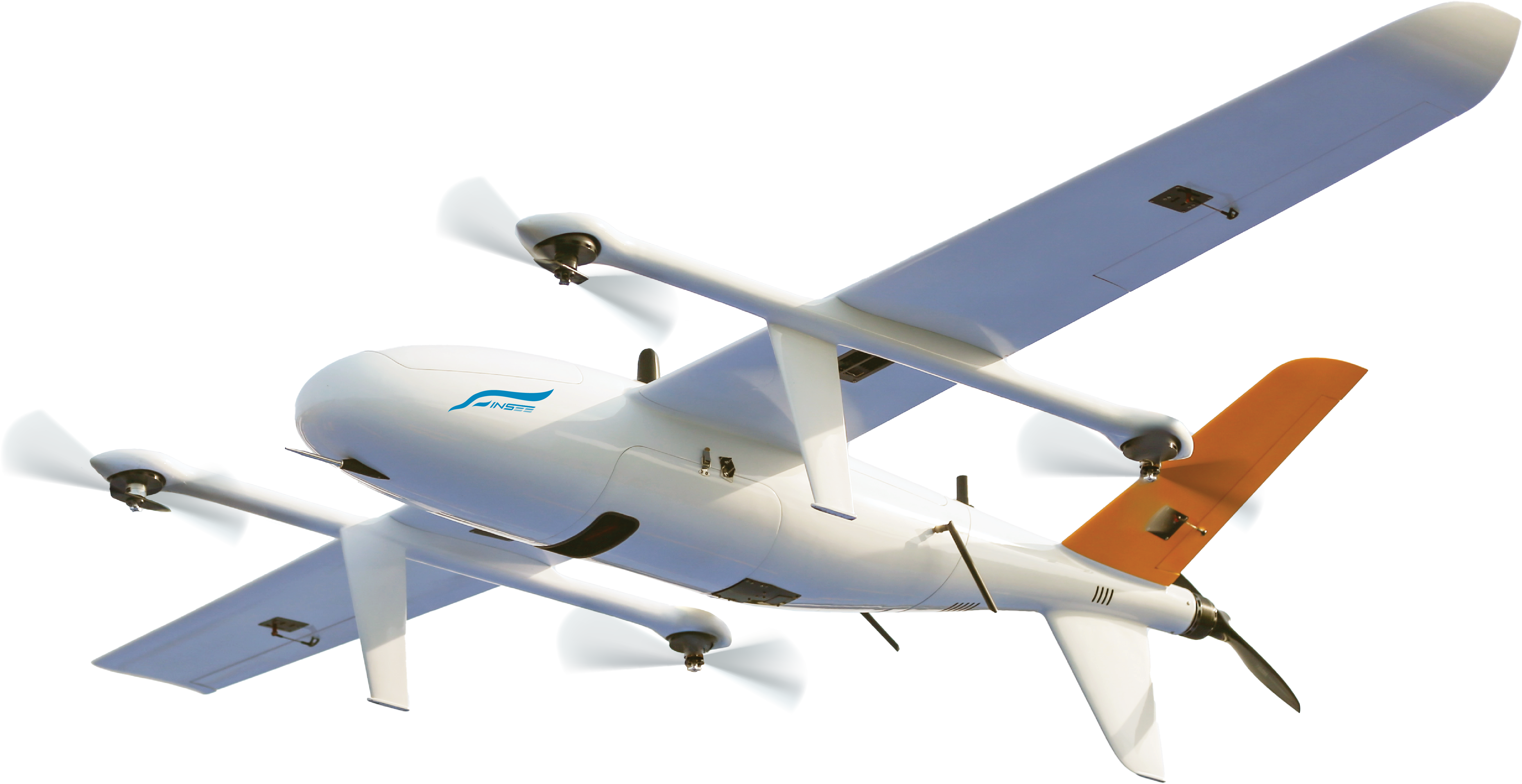
Riebo D2M
Cadastral-Grade 3D Mapping from the Sky
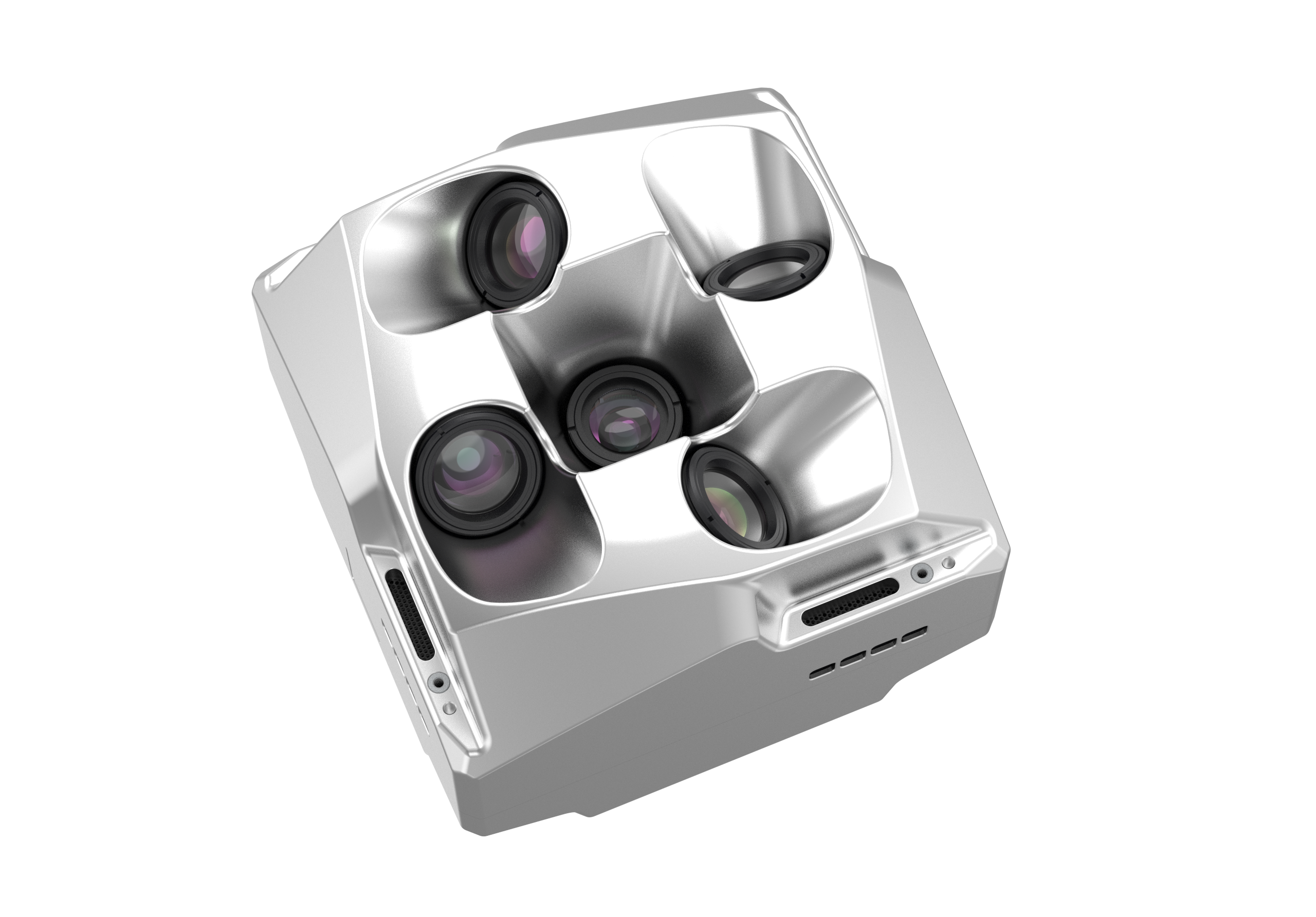
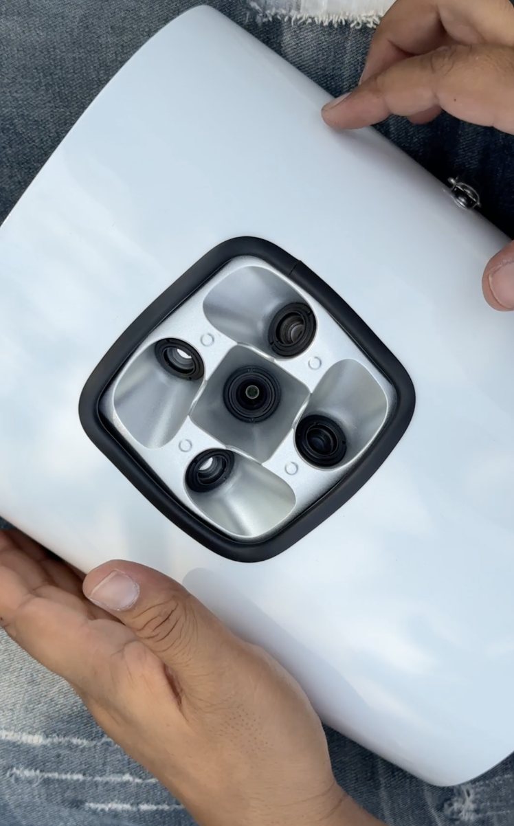
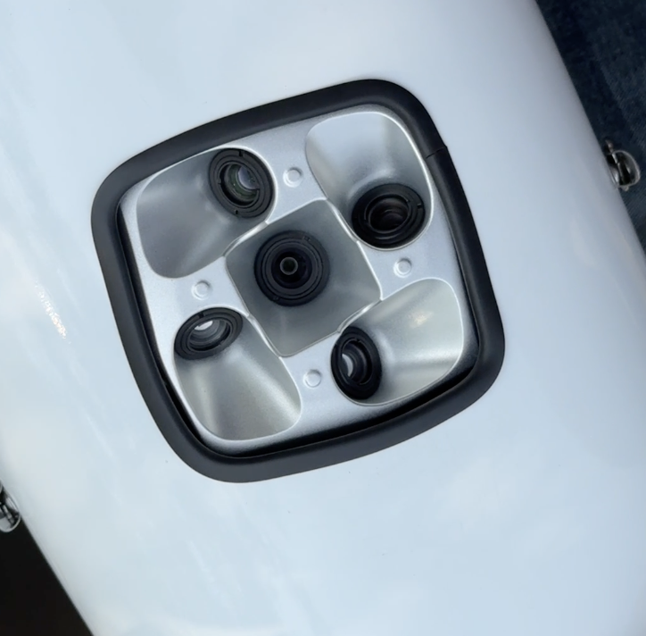
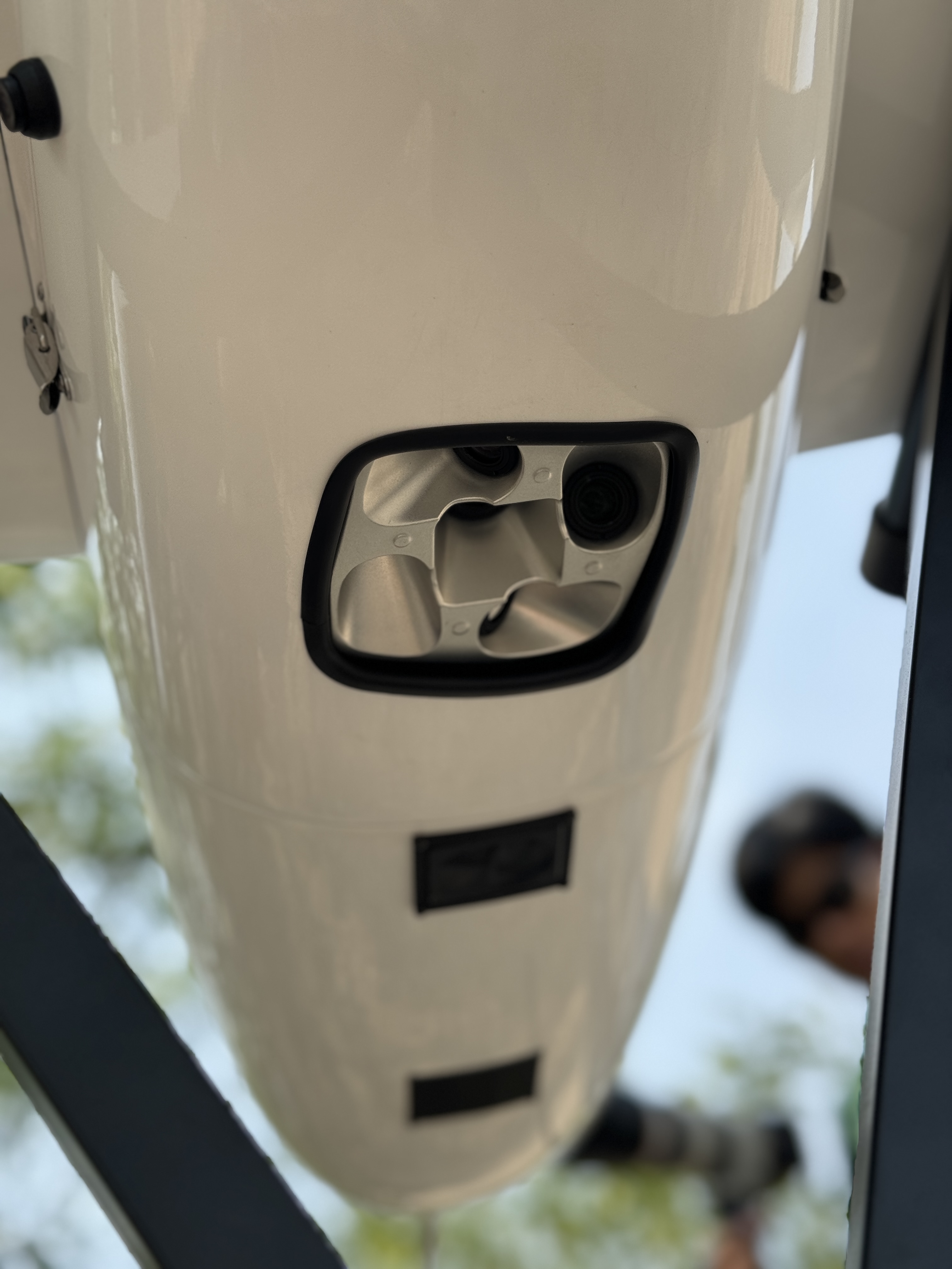
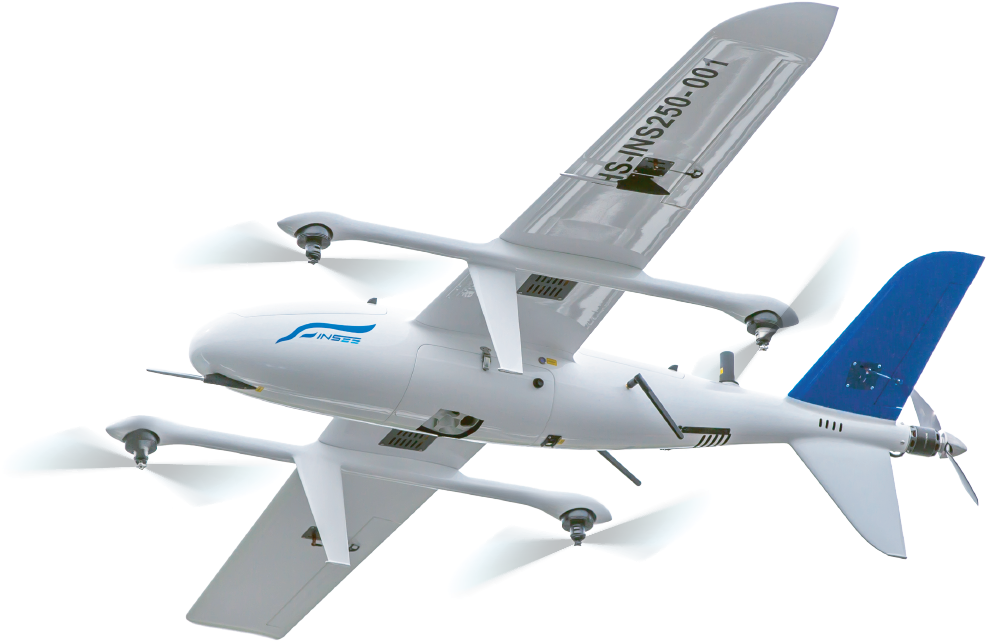
A 130MP, 5-lens oblique camera weighing just 630g — captures 5 angles simultaneously (1 Ortho + 4 Oblique) for 3D model generation. 1:500 Cadastral Mapping accuracy without GCPs. Field-proven on INSEE-250 / INSEE-350 in real missions in Thailand.
Cadastral-Grade 3D Mapping
Five angles captured simultaneously → generate a 1:500 scale 3D model without placing Ground Control Points (GCPs). Ideal for cadastral surveying and tax mapping.
Lightweight + High Resolution
130 megapixels total in a body that weighs only 630g — longer flight time, wider coverage per mission.
1 Ortho + 4 Oblique Lenses
25mm Ortho lens (nadir) + 29mm × 4 lenses (oblique) — capture every side of buildings and terrain in a single flight.
Fast Exposure Interval
Shutter speeds as fast as 0.5 sec/shot — fly faster without losing frame overlap.
Specifications.
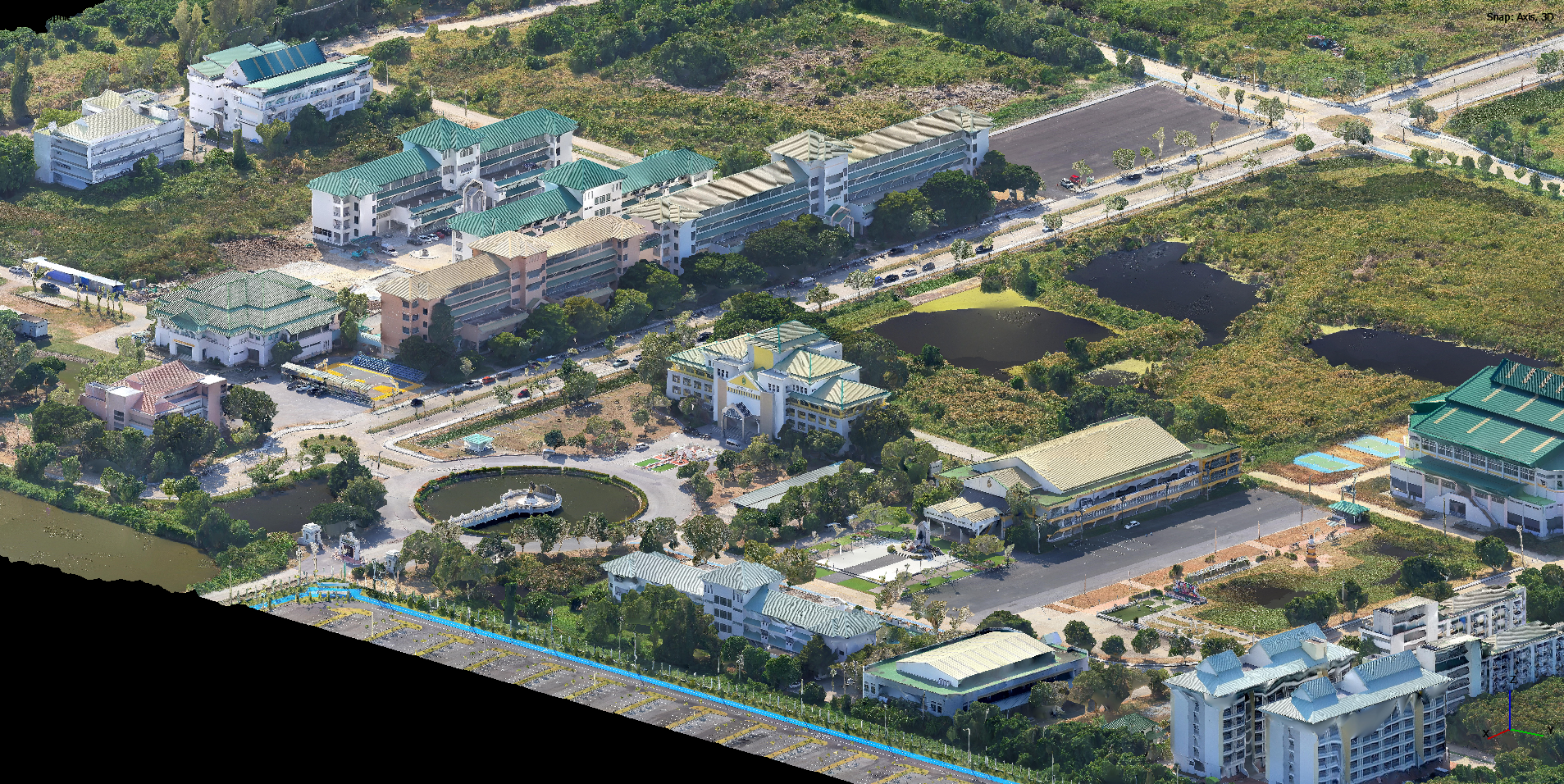
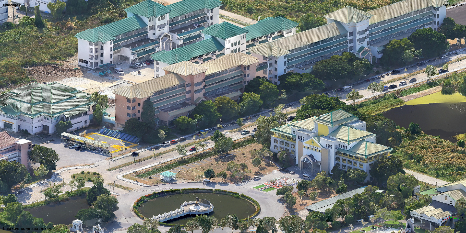
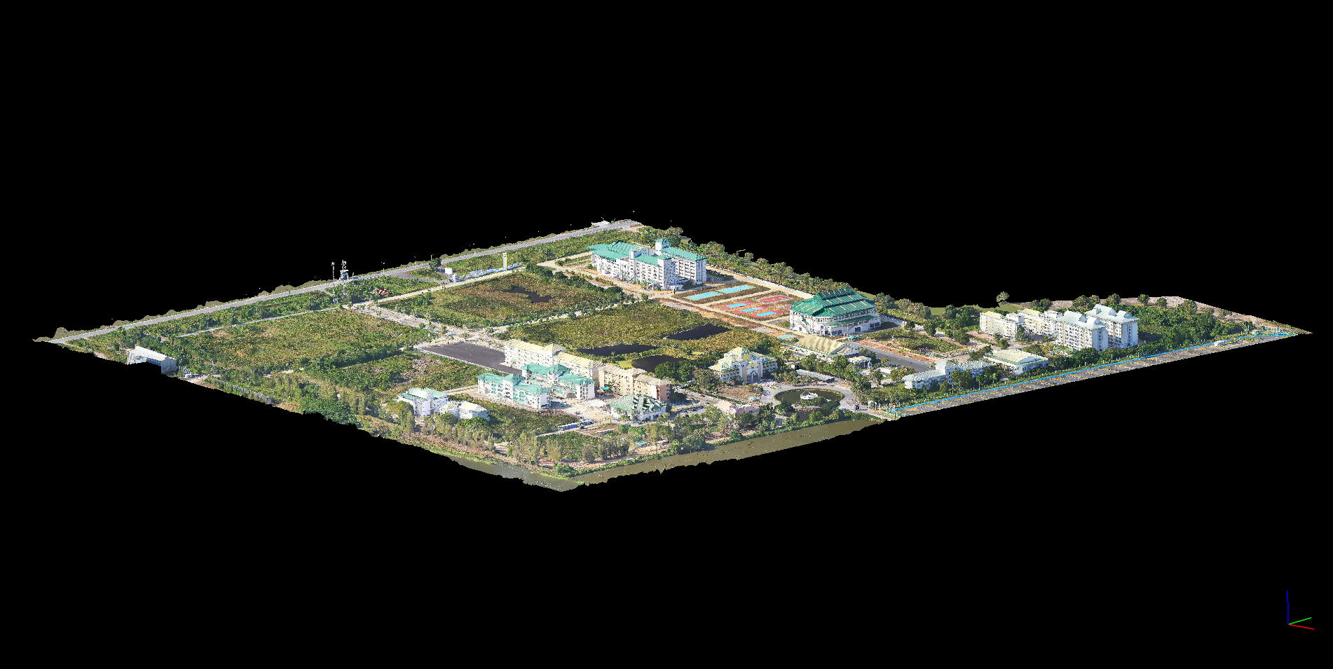
Mission Snapshots.
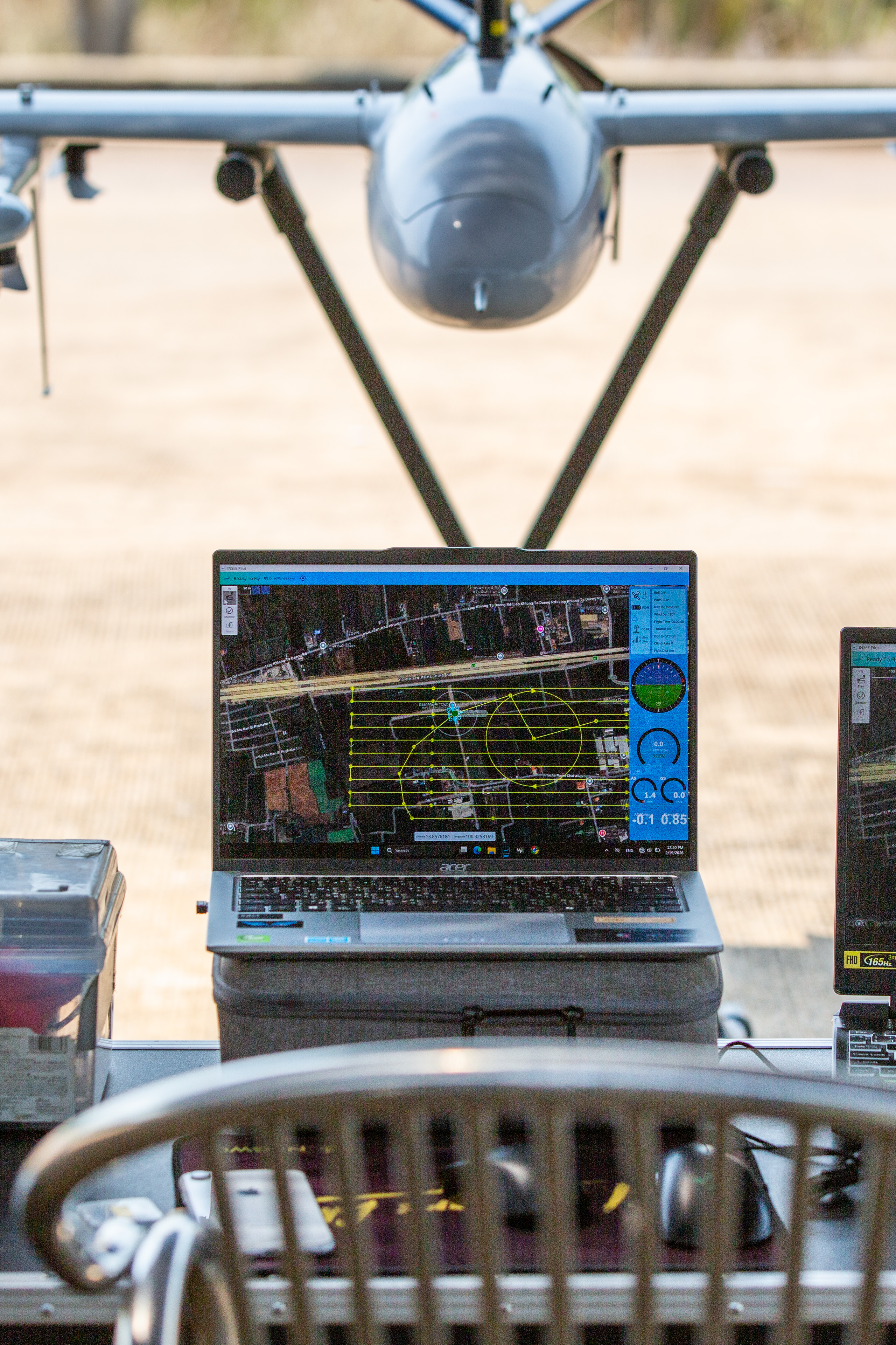
Mission Results
Mission details — Coverage Area, GSD, Accuracy and Flight Parameters will be published as mission documentation progresses.
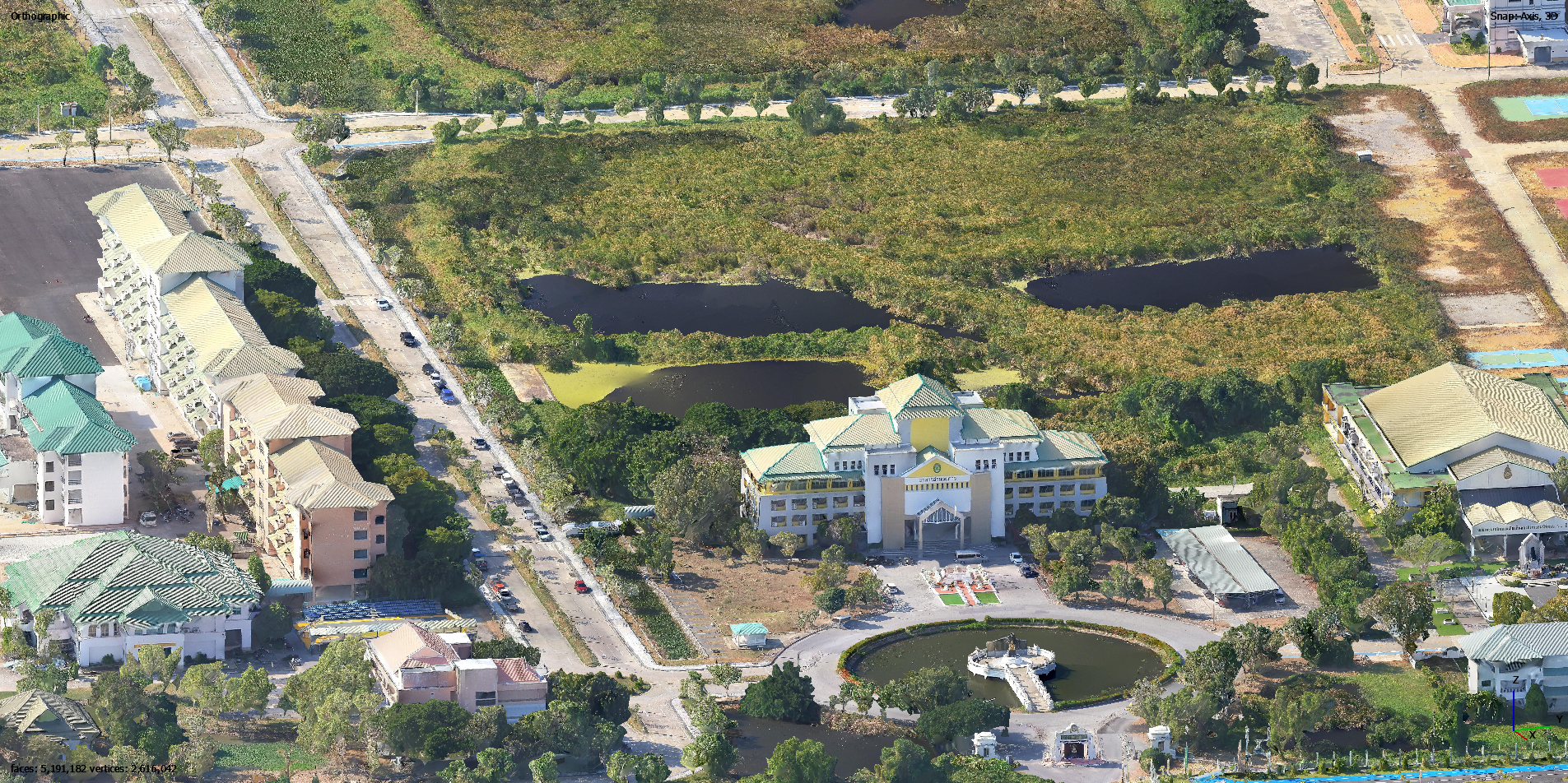
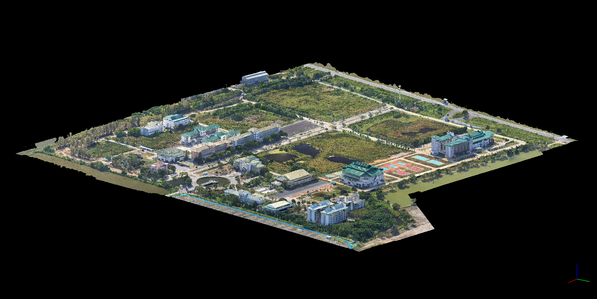
Oblique 3D Model Snapshots.
Click any image to view full-screen detail.
Ready to build 3D models from the sky
with the Riebo D2M?
Talk to the INSEE UAV team — get expert consultation, live flight demos, and an end-to-end solution for Oblique Photogrammetry and Cadastral Mapping.
INSEE UAV — Engineered in Thailand · Operated by Thai Sky Vision Co., Ltd.