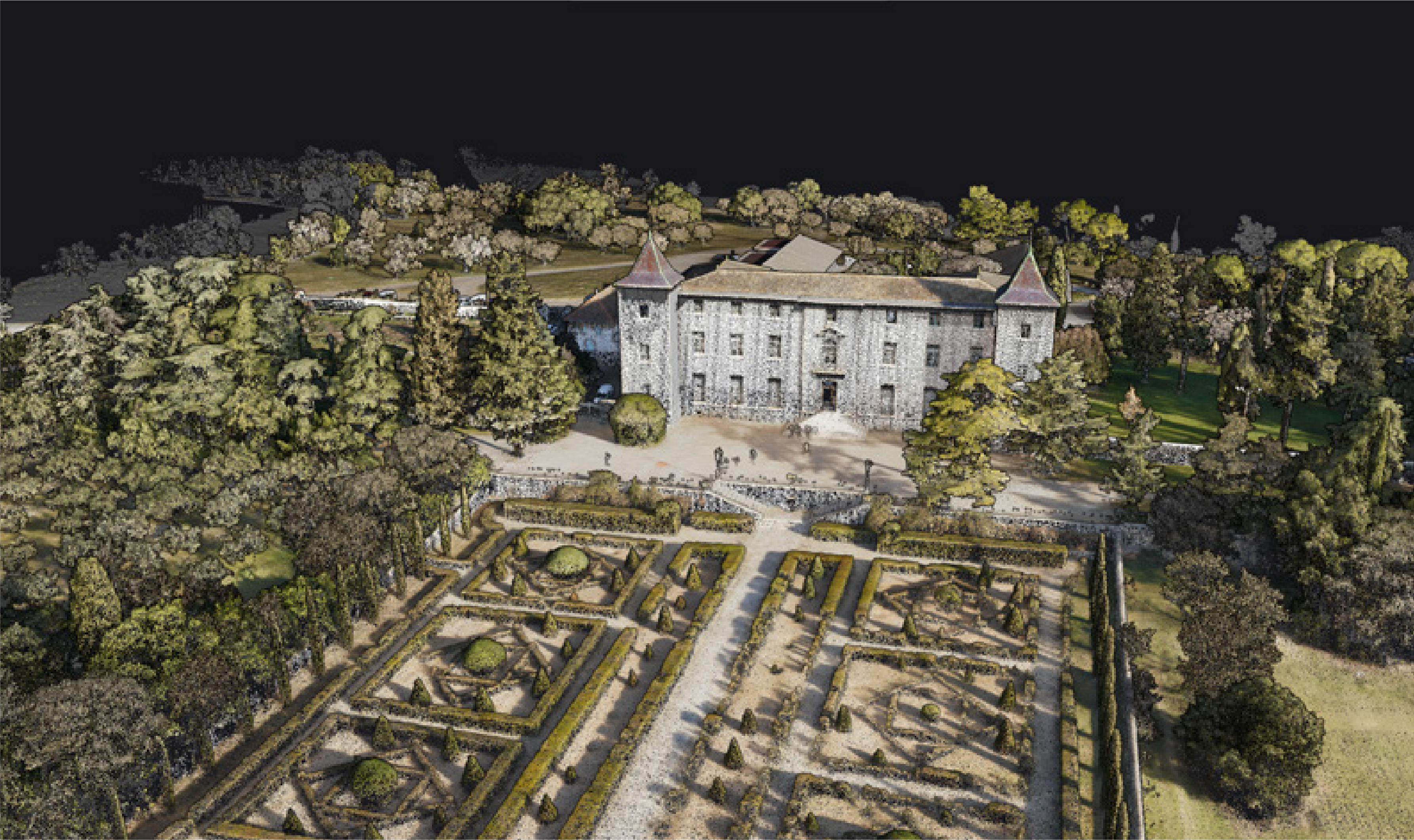
360° Scanning
with Burst Mode
Full 360° all-around scanning, or switch to 120° Burst Mode to concentrate point density in target zones — ideal for forestry, transmission lines, and complex terrain.
Dual Global Shutter
Embedded Camera
Dual built-in Global Shutter RGB cameras deliver crisp color even at speed — colorize the point cloud on the spot, no extra camera required.
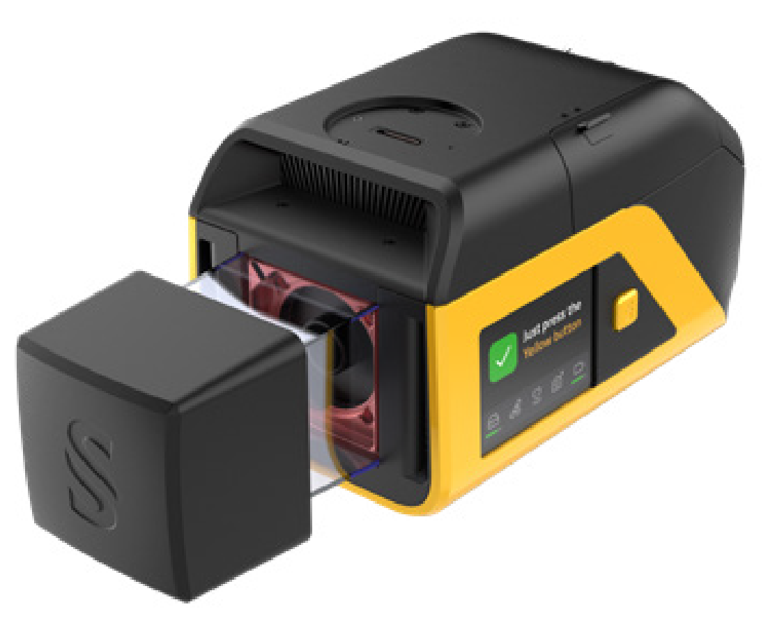
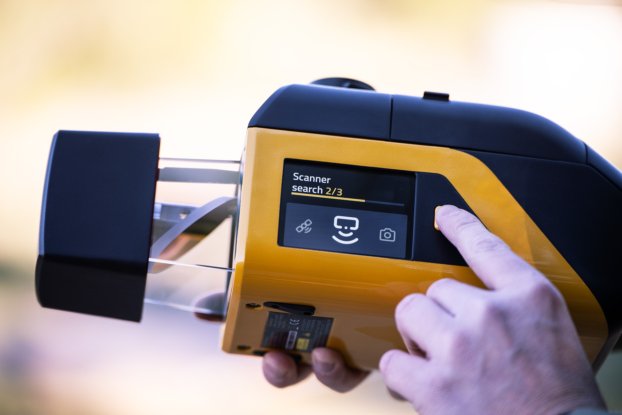
Yellow Touch
Field Control
Check and control the LiDAR system right at the field site via the Yellow Touch Interface — confirm the system is mission-ready before every flight.
NDAA Compliant
Trusted Platform
Meets NDAA Compliance requirements for government and public-sector projects that demand the highest data security, with Local Data Processing.
Technical Specifications.
System Components.
Laser Scanner
GNSS / INS
Point Density Table.
| Flight Speed | 50 m AGL | 80 m AGL | 120 m AGL |
|---|---|---|---|
| 5 m/s | 114 pts/m² | 72 pts/m² | 48 pts/m² |
| 7 m/s | 81 pts/m² | 51 pts/m² | 34 pts/m² |
| 10 m/s | 57 pts/m² | 36 pts/m² | 24 pts/m² |
* PRR 300 kHz @ 360° — Typical flight height 100m, Max recommended 120m
Hardware
- YellowScan Venturer unit
- 2 batteries
- Rugged Pelicase carry case
- GNSS Antenna + Cable
- 2 USB Flash Drives
- User documentation
Services
- 1-year warranty + unlimited Technical Support
- In-person or online Training
- Boresight Calibration Certificate
- Local Support by Thai Sky Vision, Official Distributor in Thailand
Software
- Applanix POSPac — Post-process GNSS/INS data
- CloudStation Essential — Visualize, inspect, colorize & export
- Upgradeable to Pro or Ultimate
CloudStation
Visualize, inspect, and colorize from orthophotos, then export ready-to-use data — included in the package.
CloudStation
Adds Data Quality Refinement, Classification, Color Enrichment and advanced export features.
CloudStation
Every feature included — Orthophoto Generation and Command Line (ytk) for automation and batch processing.
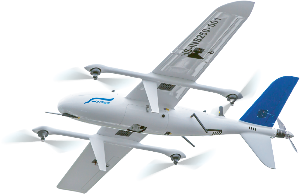
Venturer in Detail.
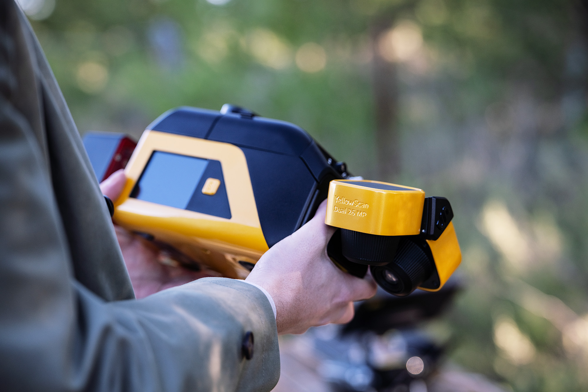
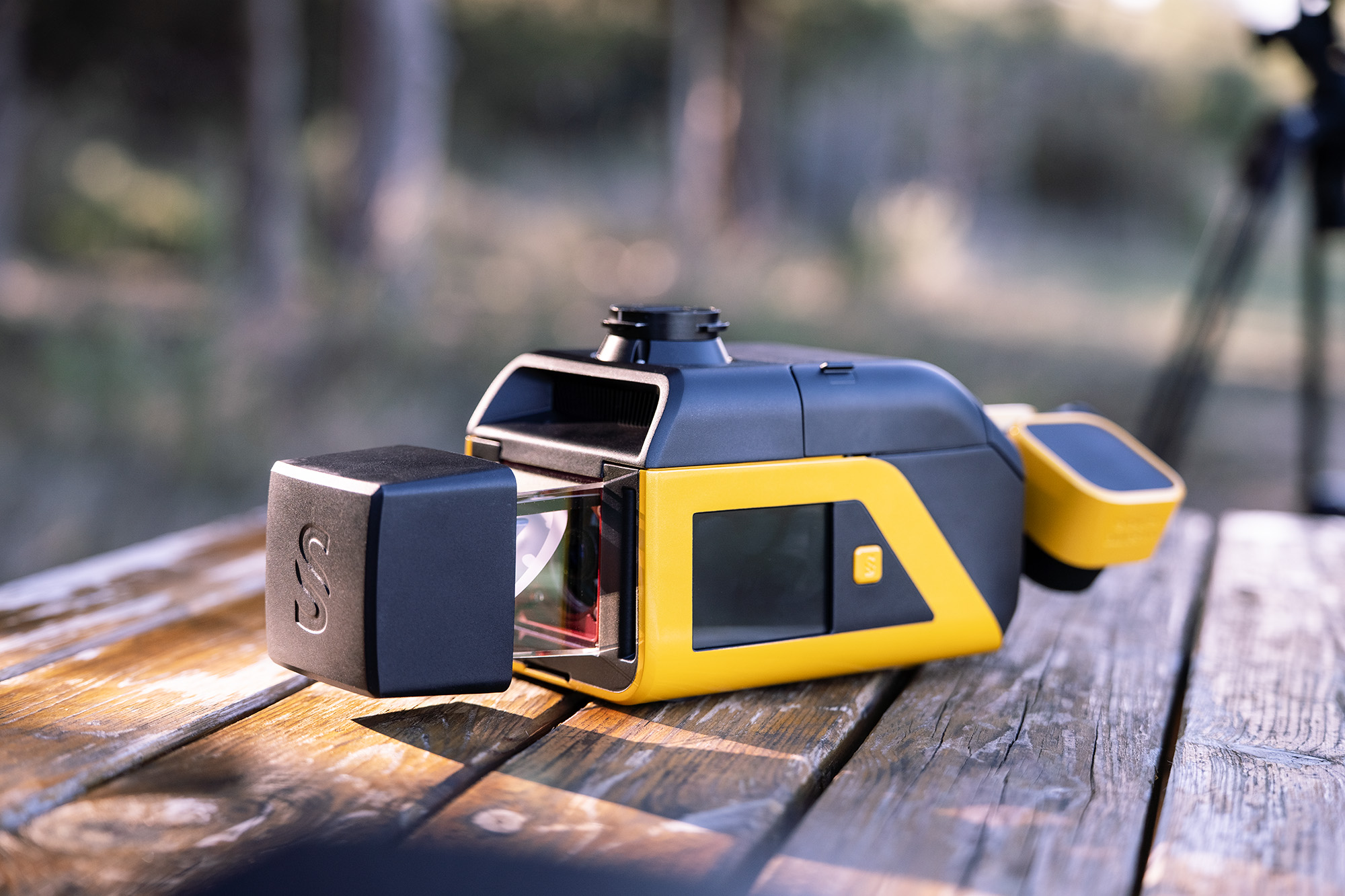
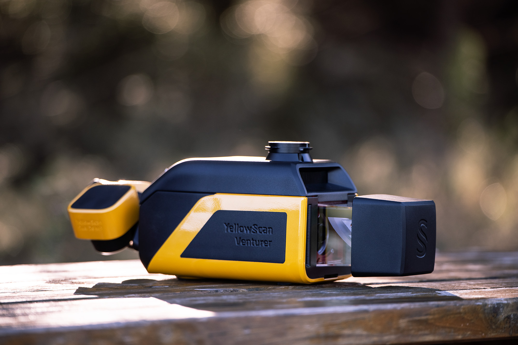
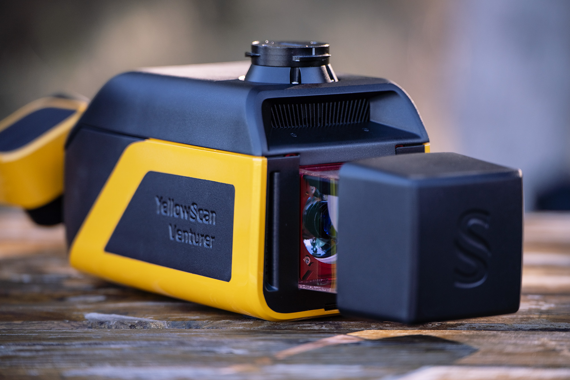
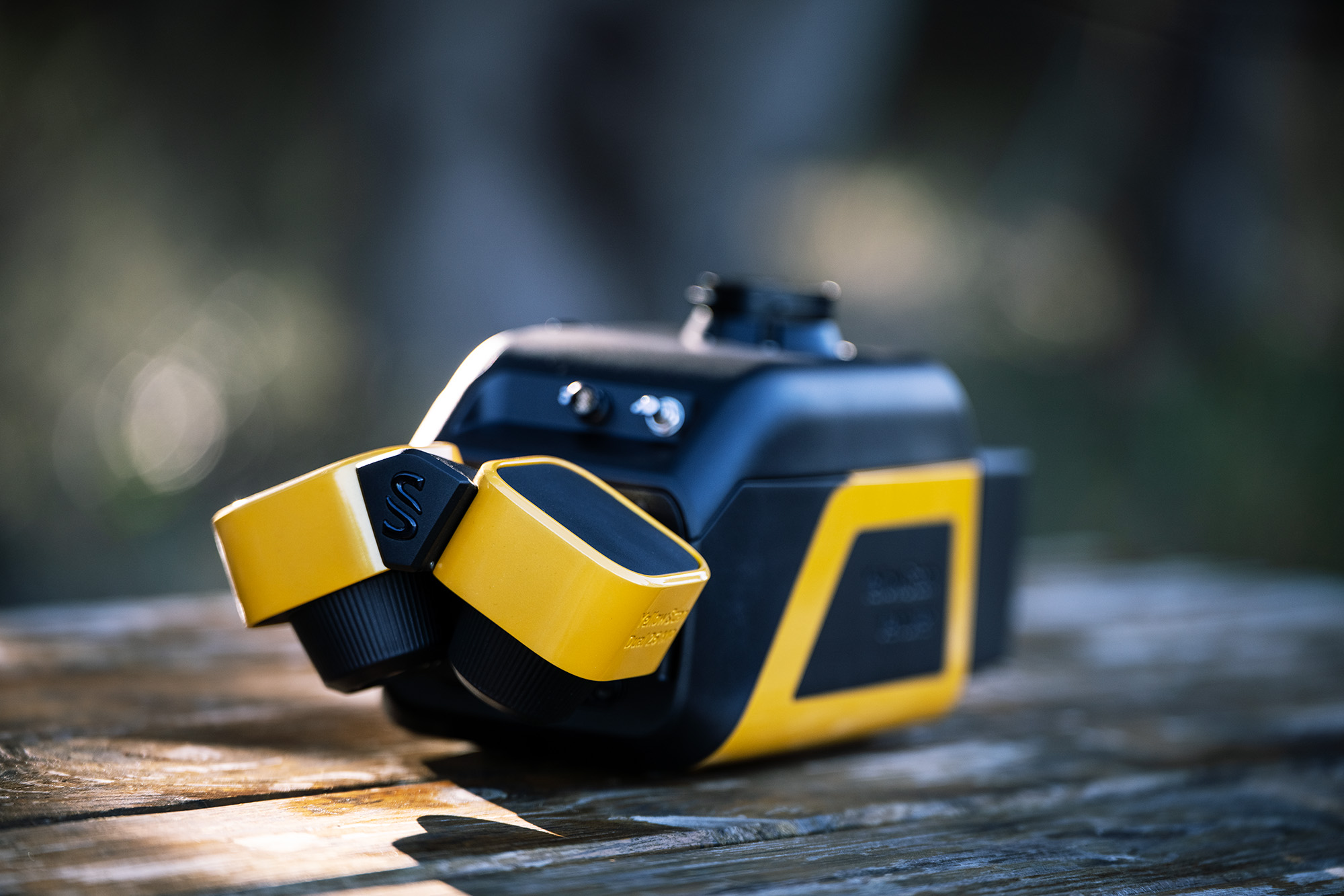
Note: Product photography of YellowScan Venturer — Reference Material from YellowScan.
Ready to elevate your survey work
with Venturer?
Contact Thai Sky Vision, Official YellowScan Distributor in Thailand — for consultation, system demos, and full After-Sales Support.
Thai Sky Vision Co., Ltd. — Official YellowScan Distributor in Thailand