360° Surveying
& Mapping
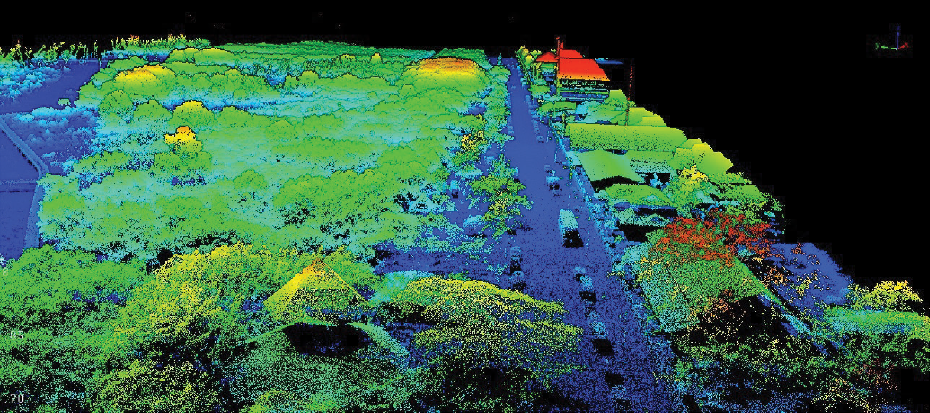
Long-range 360° laser scanner captures data in every direction — covering wide areas in a single flight. Ideal for corridor mapping, powerlines, and mining surveys.
Powerful
& Lightweight
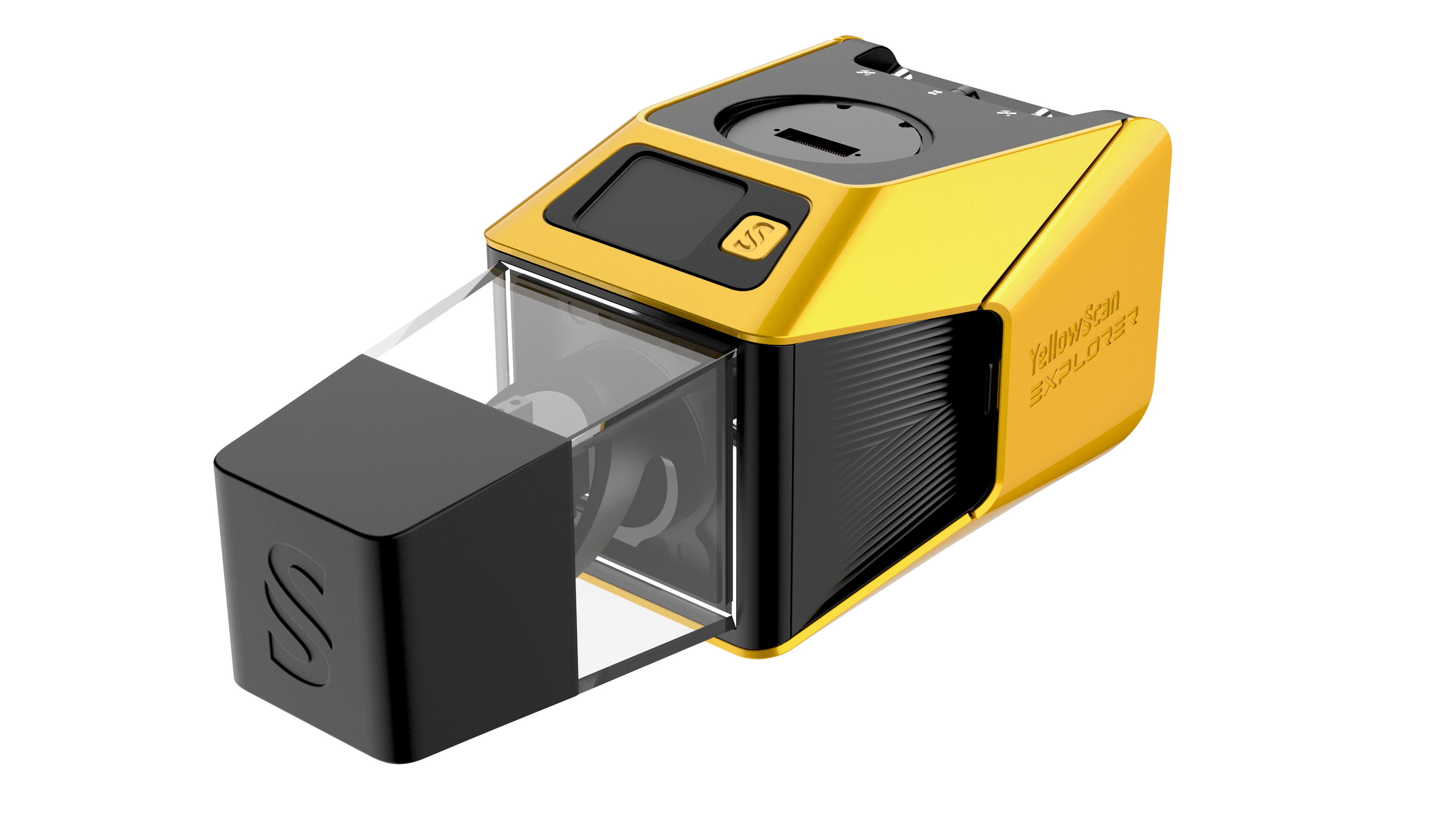
1.80 kg without batteries — compatible with Multirotor, VTOL and single-rotor UAVs, as well as Light Crewed Aircraft and Fly & Drive operations.
Long Operational Range
Laser range up to 300 m with recommended 120 m AGL — Precision 2 cm and Accuracy 2 cm, powered by the SBG Quanta Micro GNSS-Inertial solution.
Hotswappable Batteries
Two pairs of hotswappable batteries (2 × 2) — keep missions running without powering down. Includes integrated 2MP global shutter camera for colorization.
Technical Specifications.
System Components.
Laser Scanner
GNSS-Inertial & Camera
Hardware
- YellowScan Explorer unit
- 2 × 2 Batteries (Hotswappable)
- UAV GNSS Antenna and Cable
- 2 × USB Flash Drives
- Rugged Pelicase
- Documentation
- Compatible Platform: INSEE-250
Services
- 1-Year Warranty + Unlimited Technical Support
- In-person or Online Training
- Boresight Calibration Certificate
- Local Support by Thai Sky Vision — Official Distributor in Thailand
Software
- YellowScan CloudStation — Generate, Visualize, Adjust Strips, Classify, Colorize and Export Point Cloud
- SBG Qinertia — Post-process GNSS-Inertial data
- Optional: LiveStation, CloudStation Strip Adjustment / Terrain / Colorization Modules
CloudStation
Visualize, Inspect, Colorize from Orthophotos and Export ready-to-use deliverables — included in the package.
CloudStation
Adds Data Quality Refinement, Classification, Color Enrichment, and advanced Export Features.
CloudStation
Every feature — including Orthophoto Generation and the Command Line (ytk) for Automation & Batch Processing.
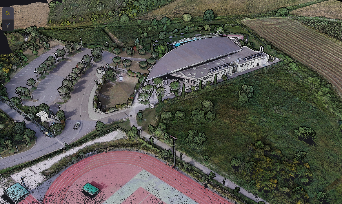
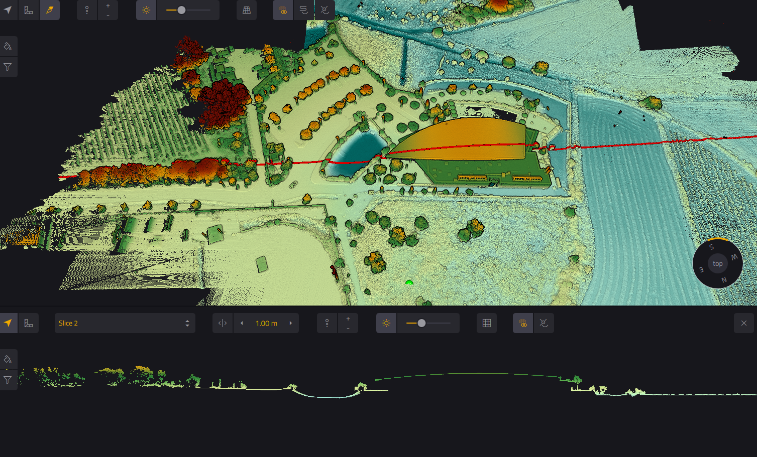
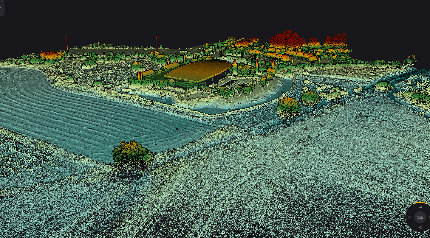
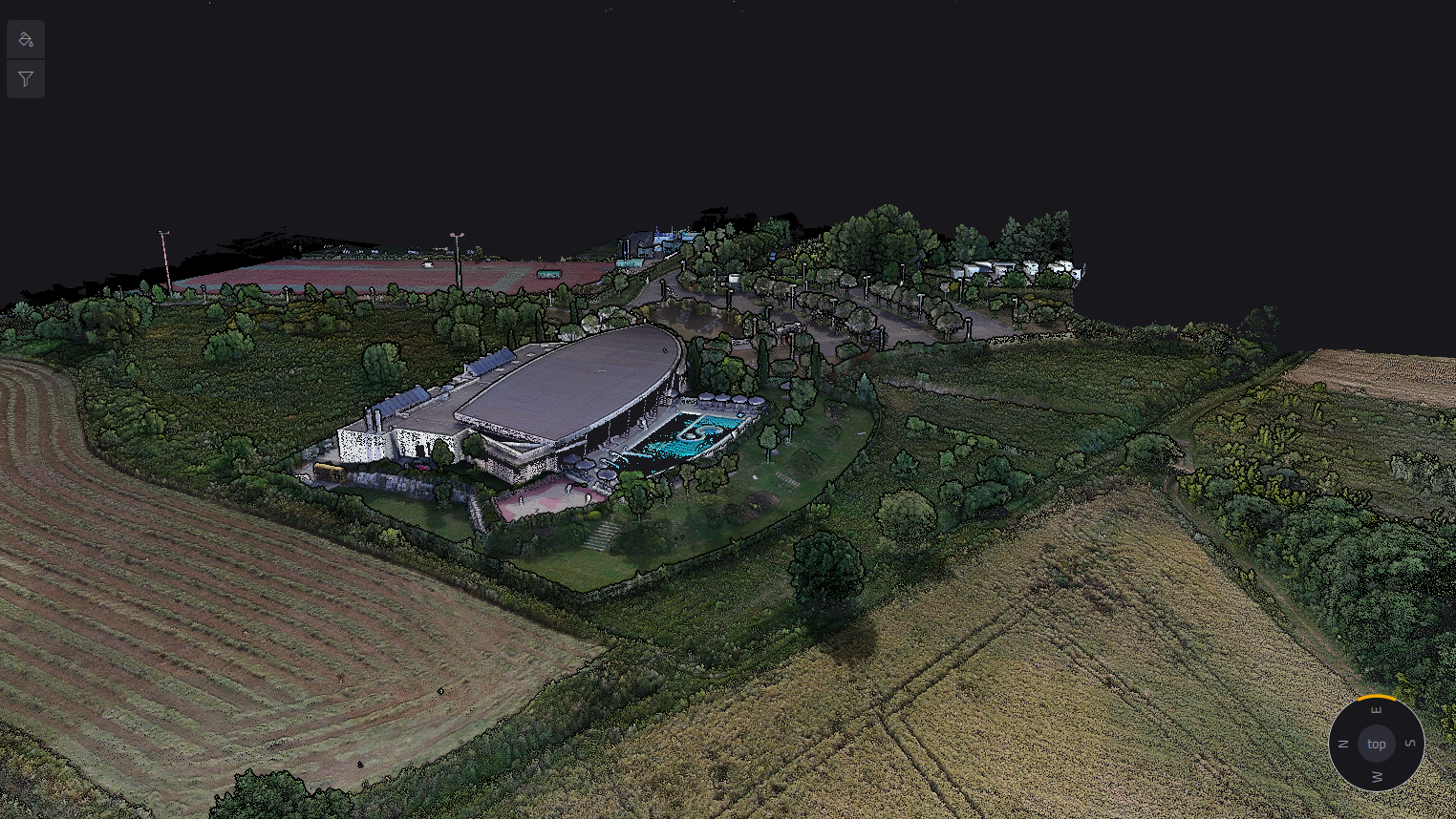
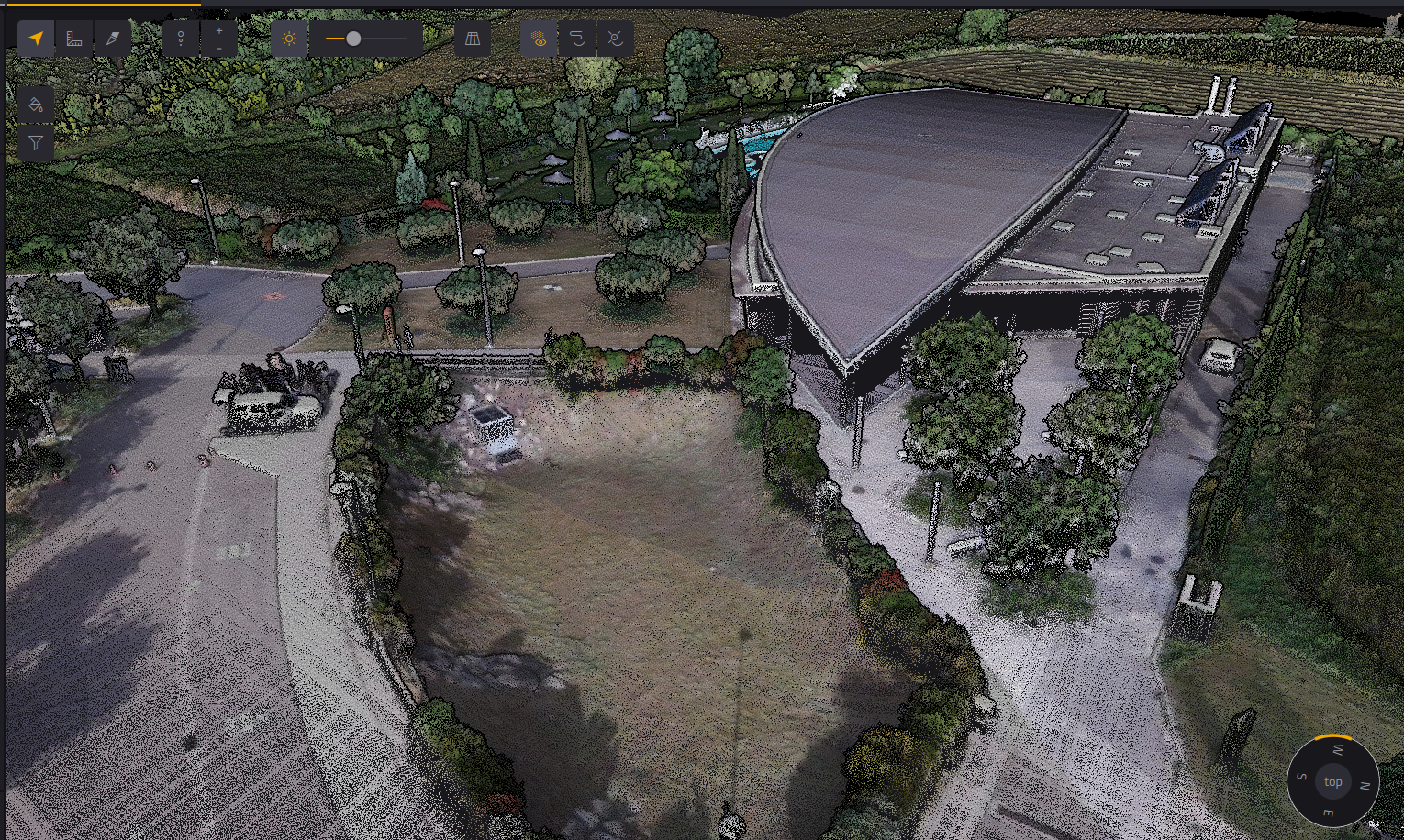
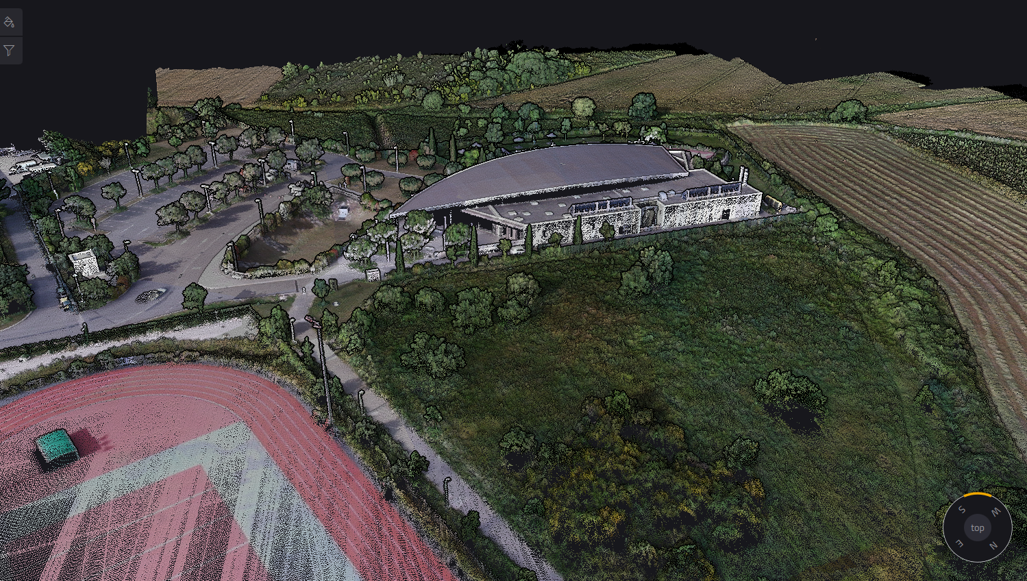
Note: These reference images are from YellowScan global portfolio — not from INSEE UAV missions — shown to demonstrate sensor capability.
Ready to expand your survey capability
with Explorer?
Contact Thai Sky Vision, Official YellowScan Distributor in Thailand — for INSEE-250 integration consultation and full After-Sales Support.
Thai Sky Vision Co., Ltd. — Official YellowScan Distributor in Thailand