
High Point Density
Livox AVIA scanner fires 240,000 shots/sec with up to 3 echoes per shot — capturing rich detail across a typical 100 m flight height.
Lightweight
1.3 kg w/ battery
Just 1.1 kg without battery, or 1.3 kg with battery — easy to carry, easy to mount on a wide range of UAVs.
Proven Accuracy
2.5 cm precision and 3.0 cm accuracy paired with the Applanix APX-15 UAV GNSS-Inertial solution — reliable results across a wide range of applications.
Multi-Platform
Integrations
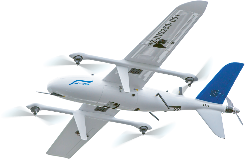
Supports multirotor, helicopter and fixed-wing UAVs — ships with a quick release adapter for DJI Skyport or Gremsy.
Technical Specifications.
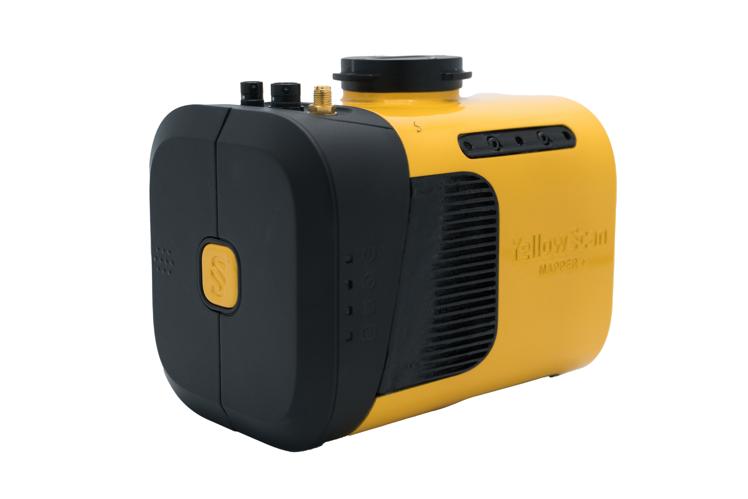
System Components.
Laser Scanner
GNSS / INS
Mission Parameters.
| Parameter | Value |
|---|---|
| 5 m/s @ 100 m | 340 pts/m² |
| 10 m/s @ 100 m | 170 pts/m² |
| 20 m/s @ 100 m | 90 pts/m² |
| Typ. Flying Height | 100 m AGL |
| Weight (w/ battery) | 1.3 kg |
| Operating Temp. | -20°C to +40°C |
* Point density theoretical max. May vary depending on flight conditions.
Hardware
- YellowScan Mapper+ unit
- Quick release adapter (DJI Skyport or Gremsy)
- Charger and 2 batteries
- GNSS antenna and cable
- 2 USB flash drives
- Rugged backpack
Services
- 1-year unlimited technical support
- 1-year warranty
- In-person or online training
- Camera & boresight calibration
- Local Support by Thai Sky Vision, Official Distributor in Thailand
Software
- Applanix POSPac UAV — Process GNSS and inertial data for highest accuracy
- YellowScan CloudStation — Generate, visualize, adjust strips, classify, colorize and export your point cloud
CloudStation
Visualize, inspect, and colorize from orthophotos, then export ready-to-use data — included in the package.
CloudStation
Adds Data Quality Refinement, Classification, Color Enrichment and advanced export features.
CloudStation
Every feature included — Orthophoto Generation and Command Line (ytk) for automation and batch processing.
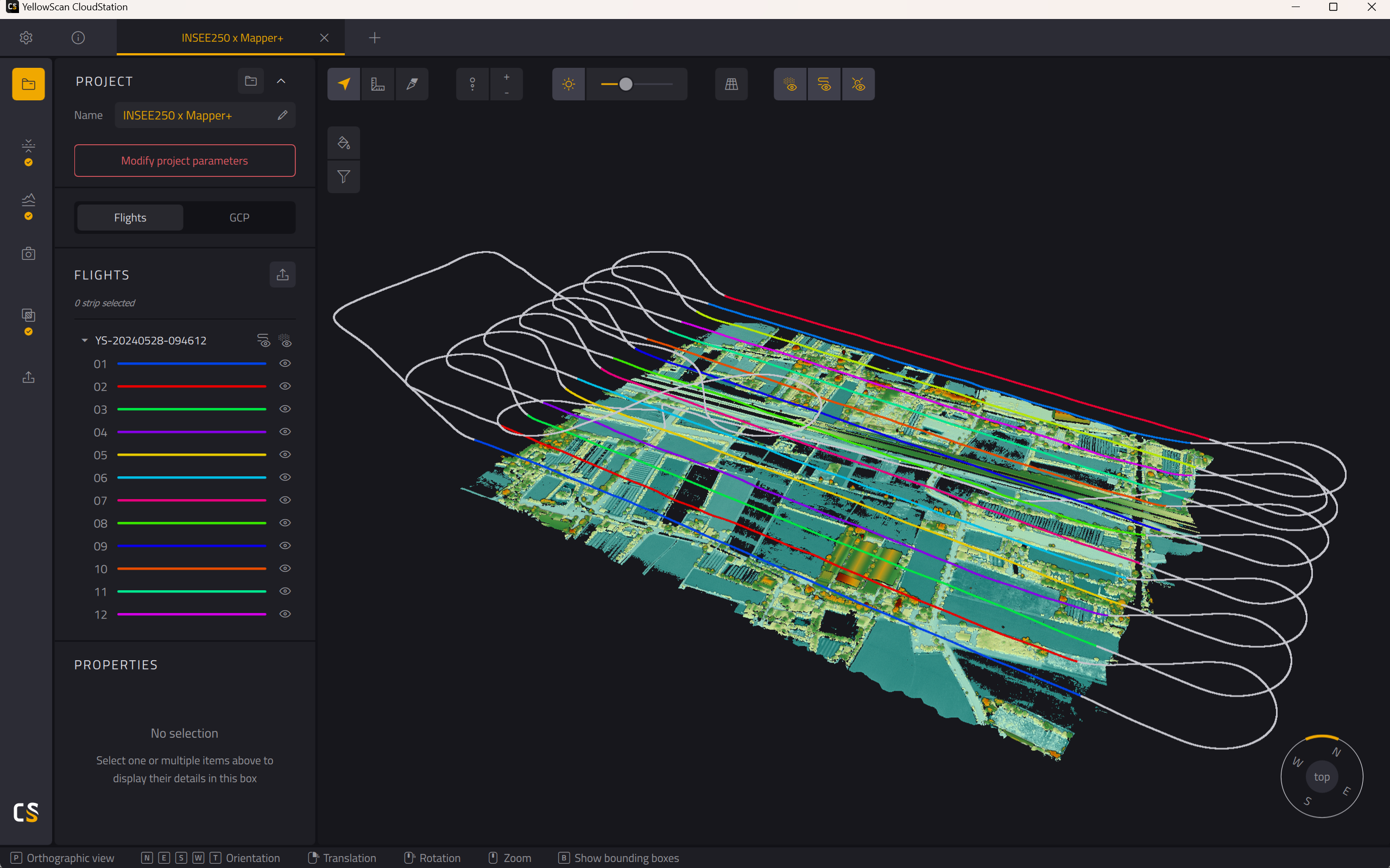
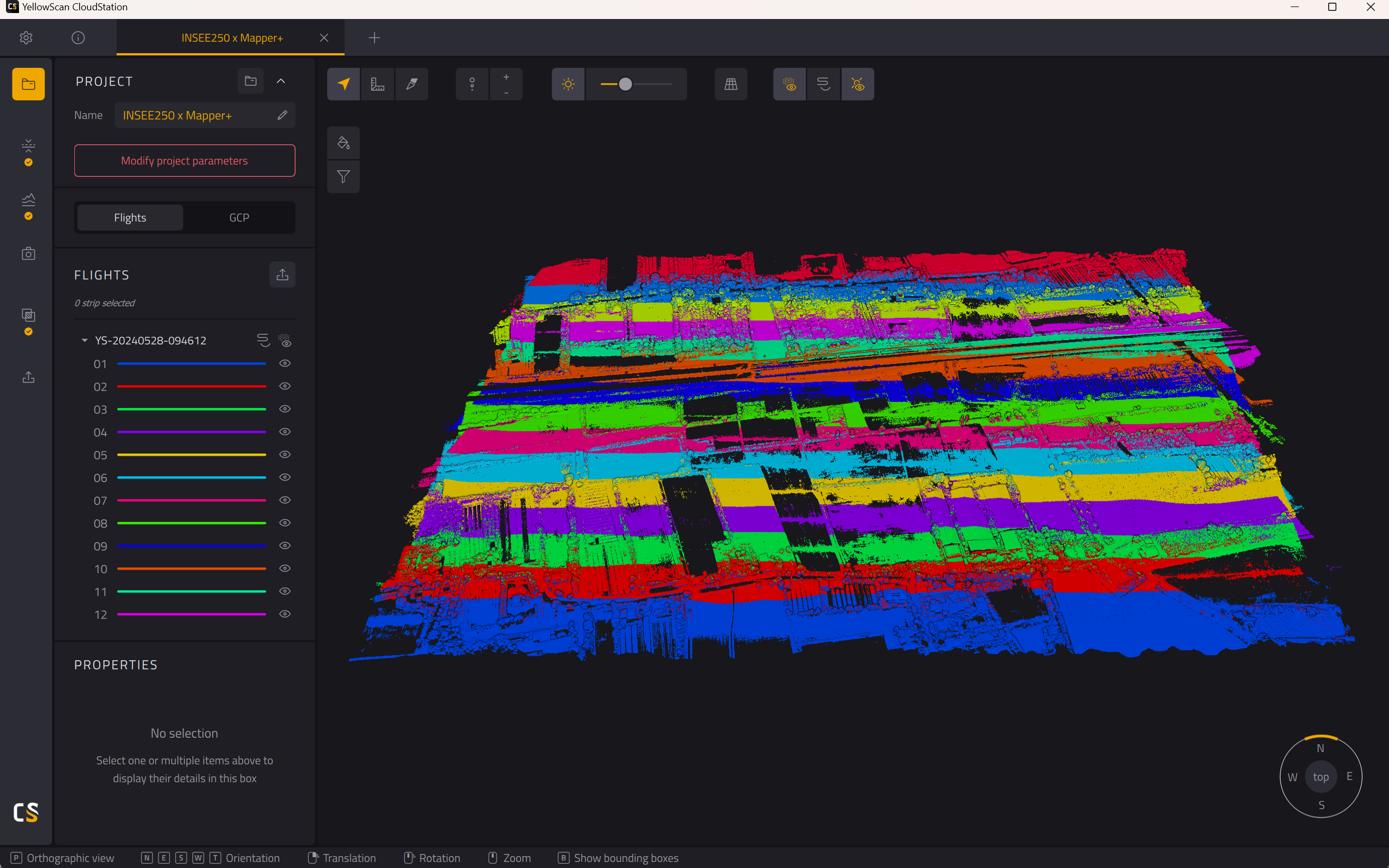
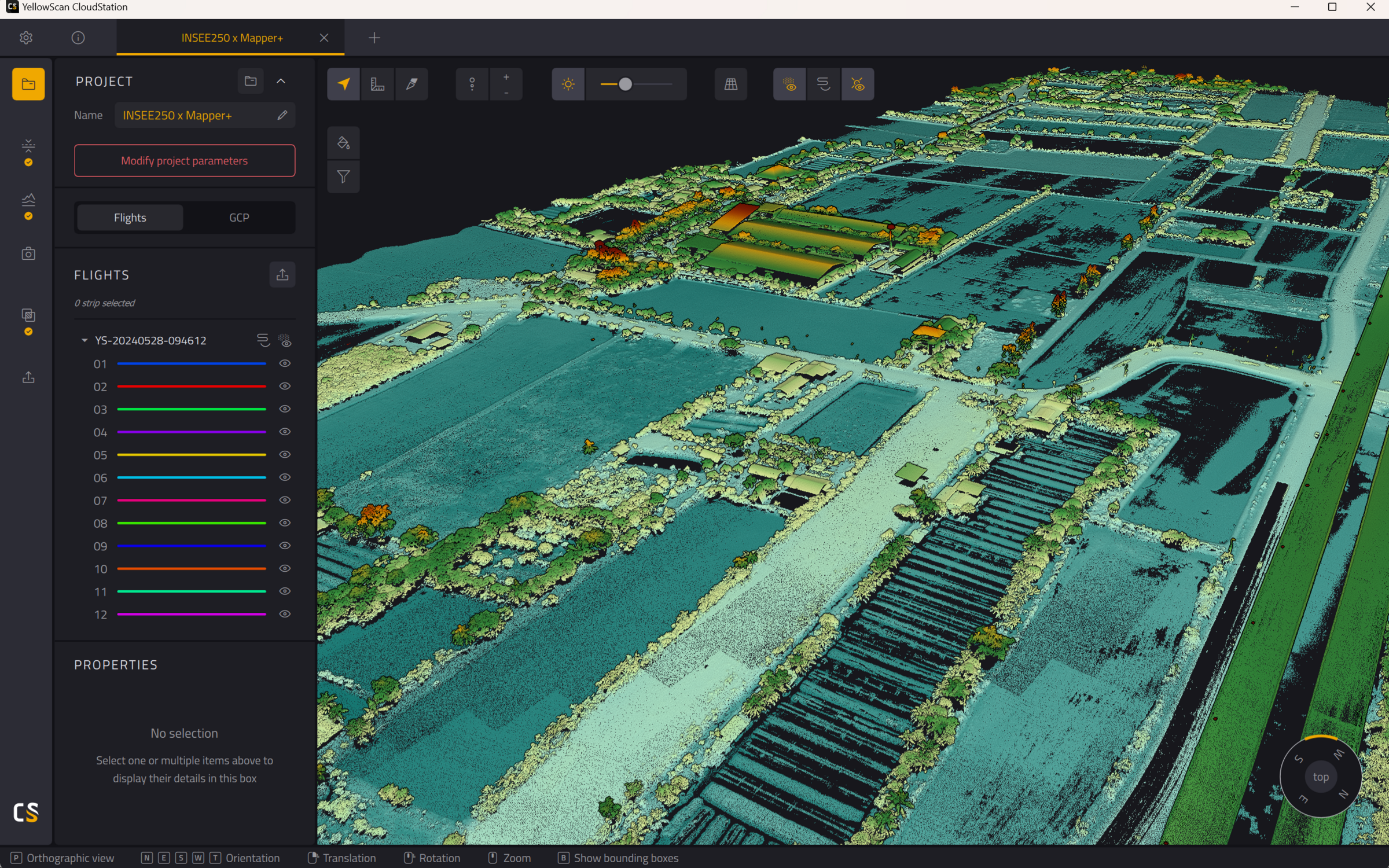
Mapper+ on INSEE-250.
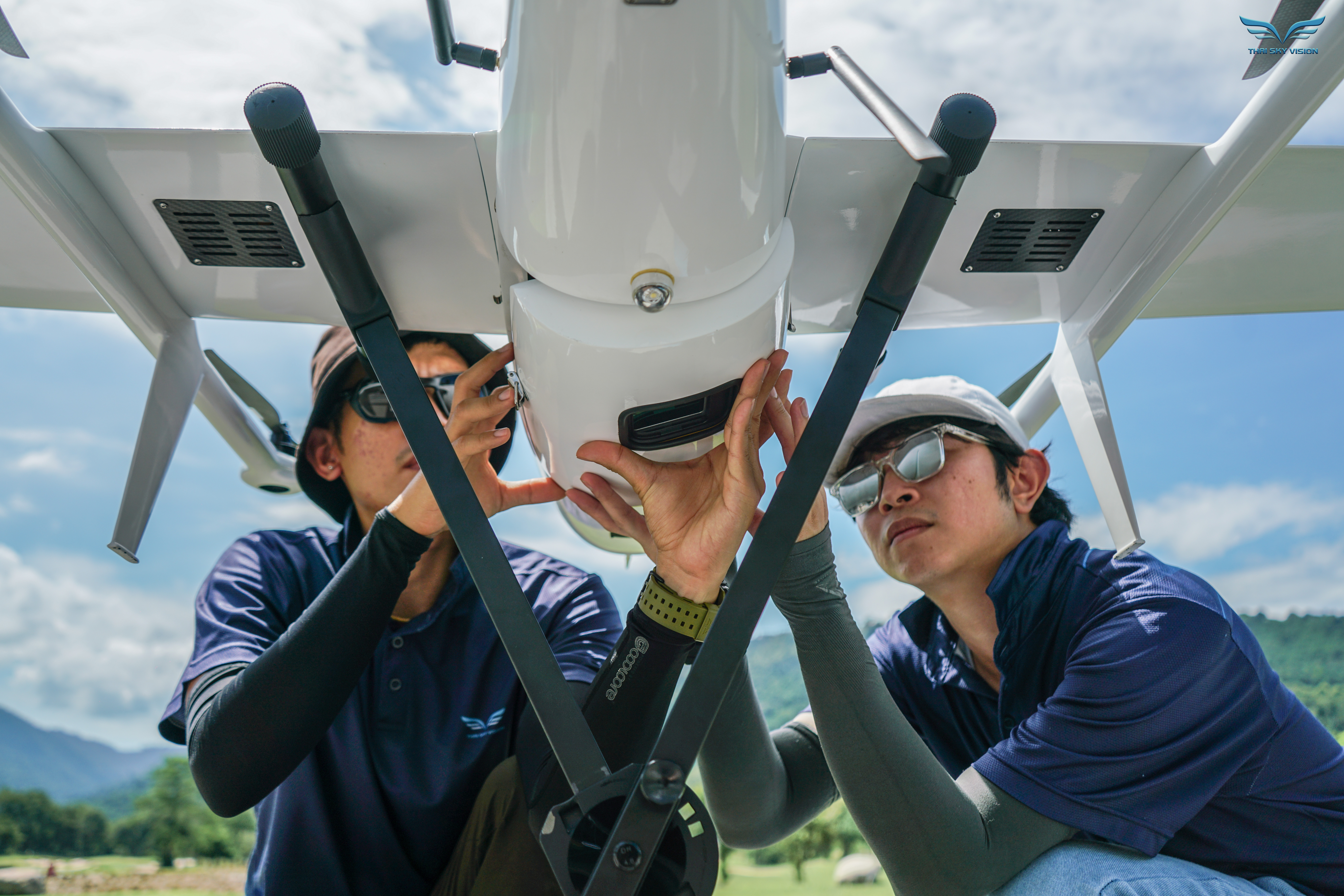
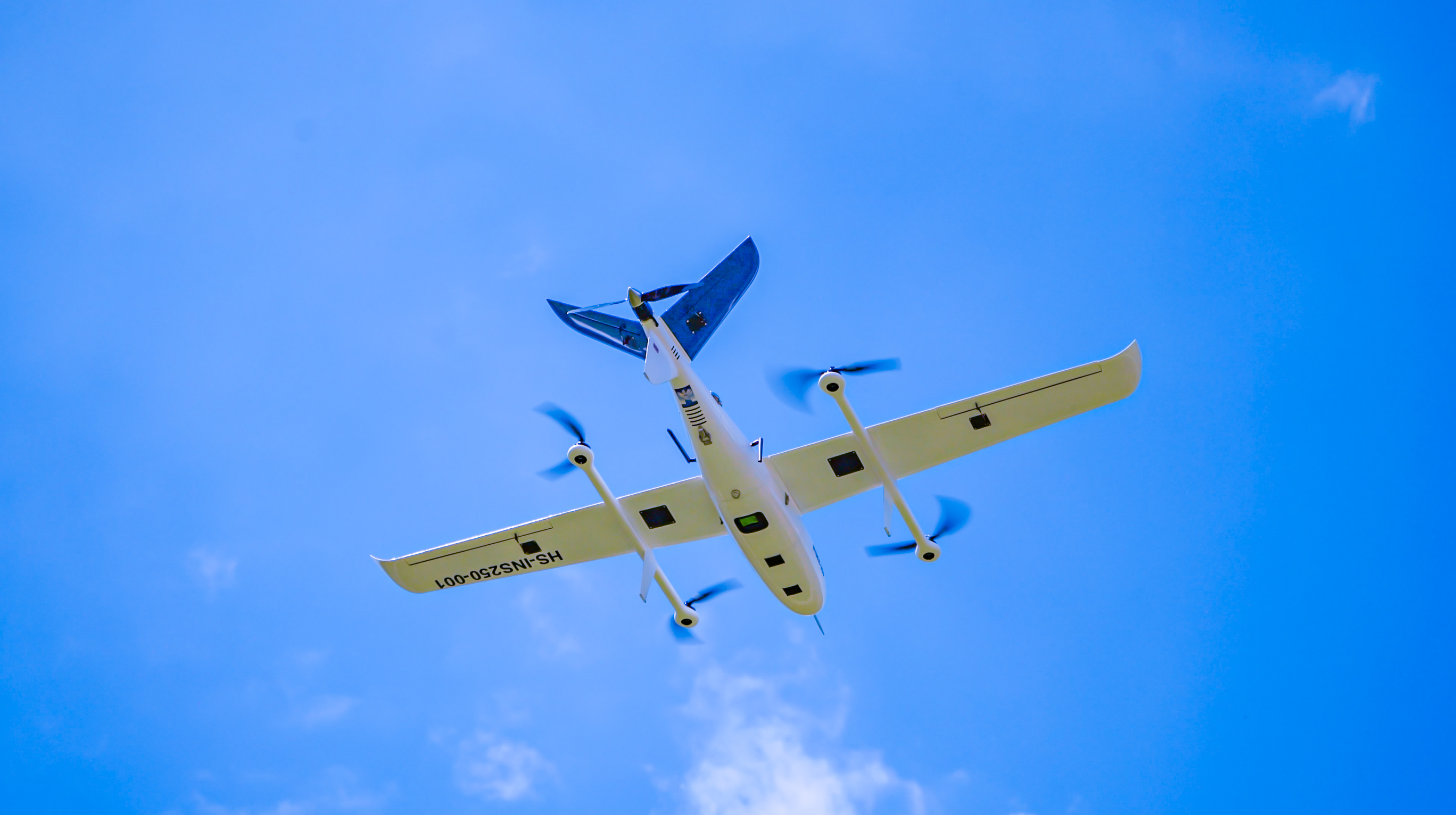
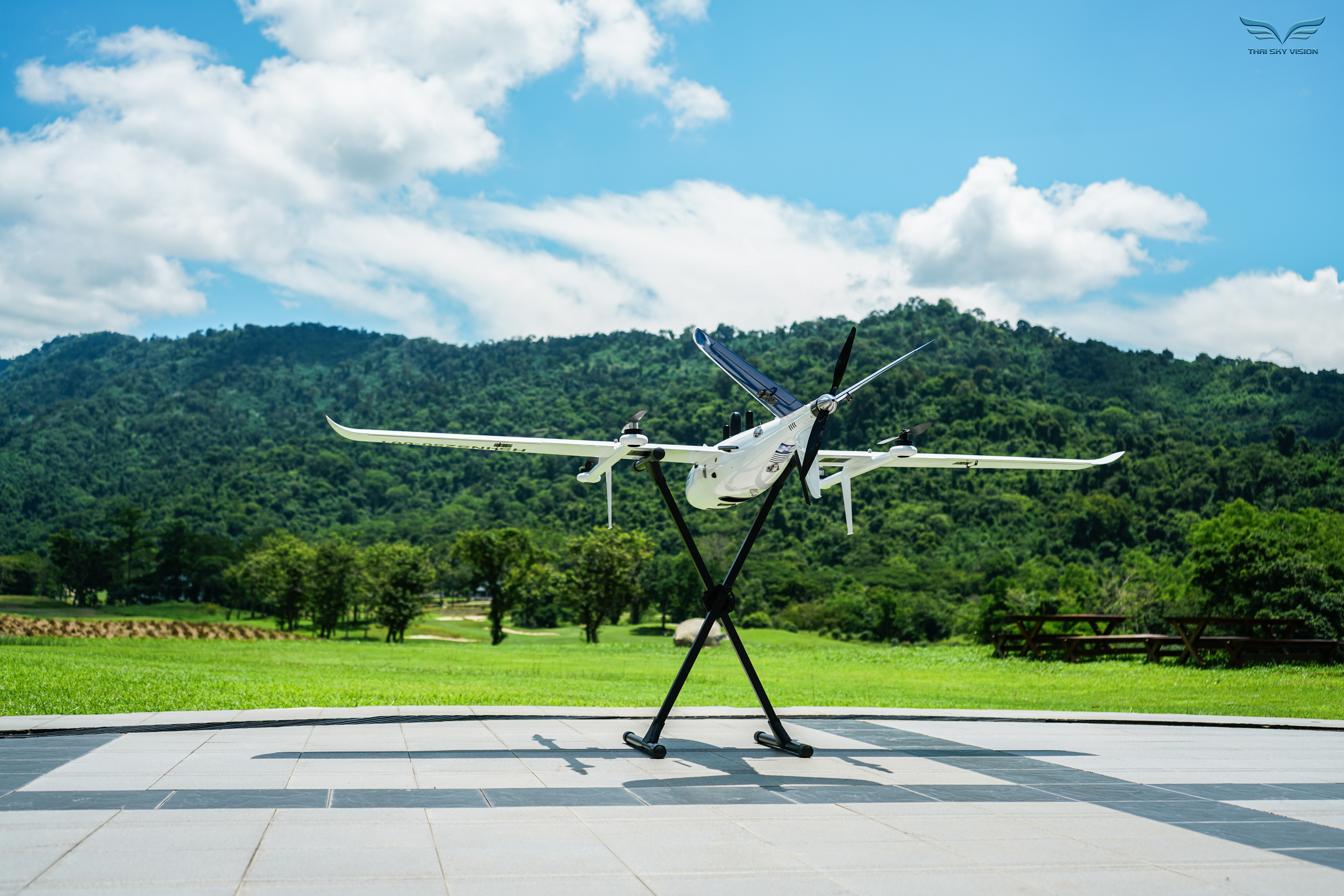
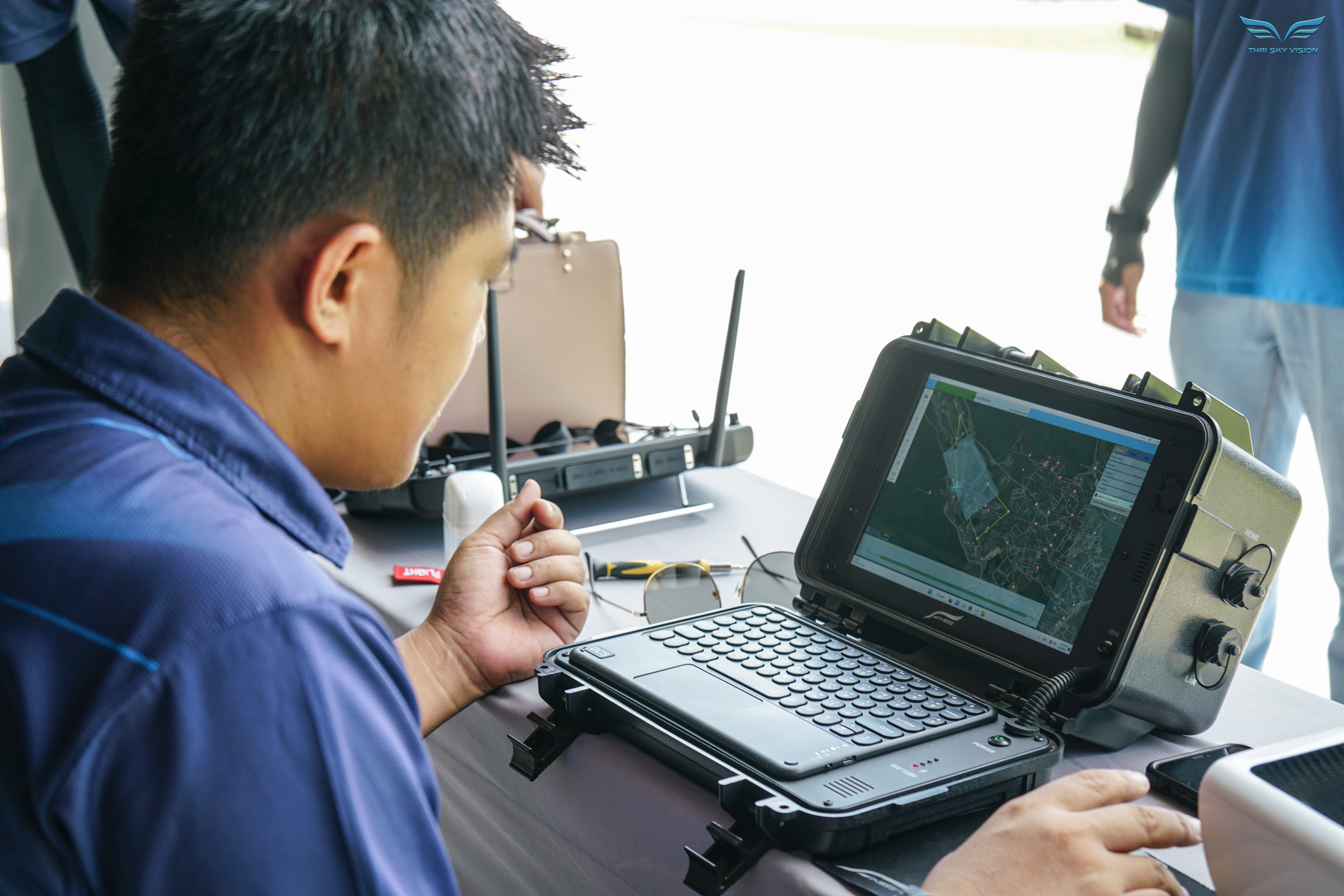
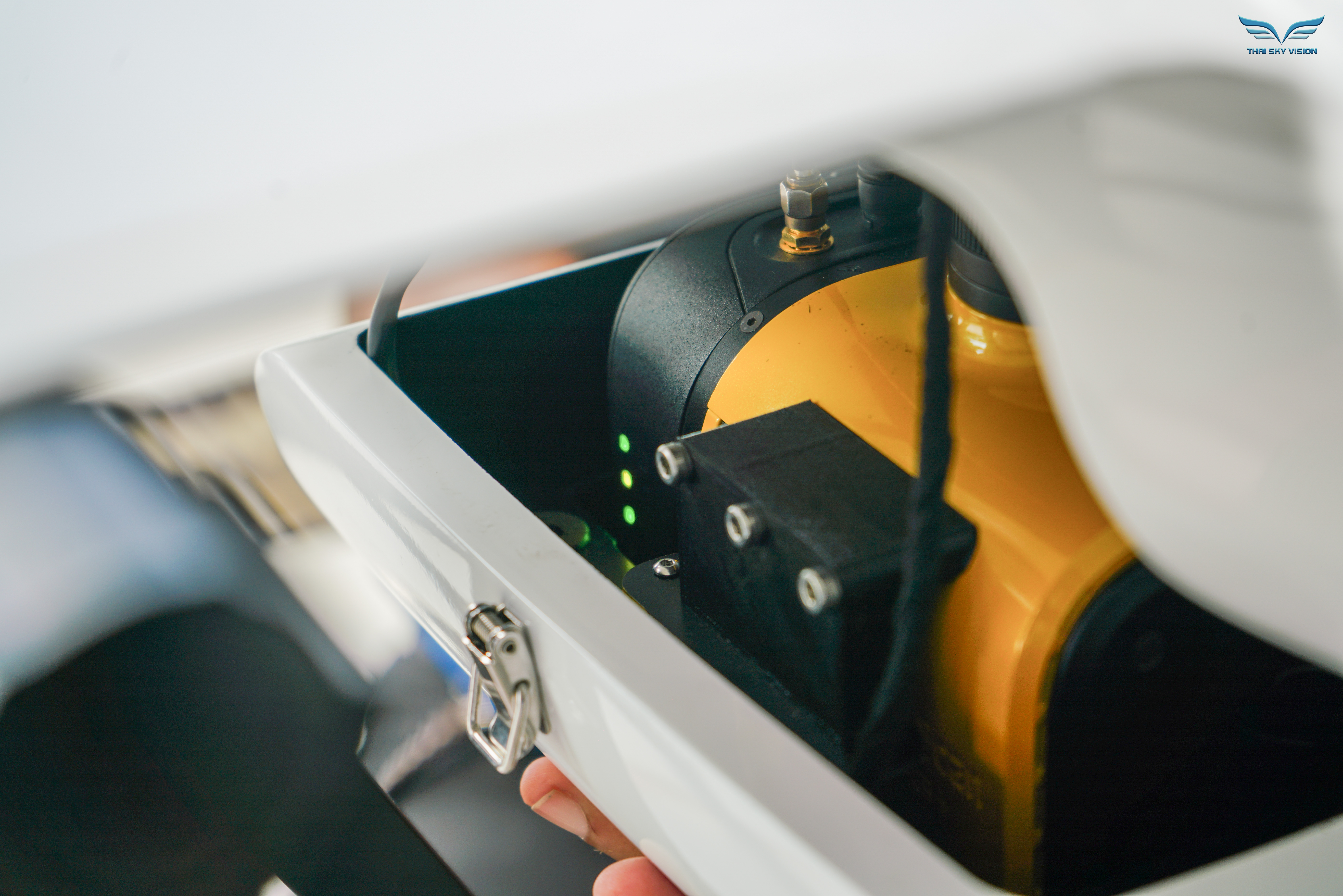
Actual photos: These missions were captured with the YellowScan Mapper+ (pre-OEM) mounted on INSEE-250 — the current Mapper+ uses the same sensor core, repackaged specifically for Fixed-Wing UAVs.
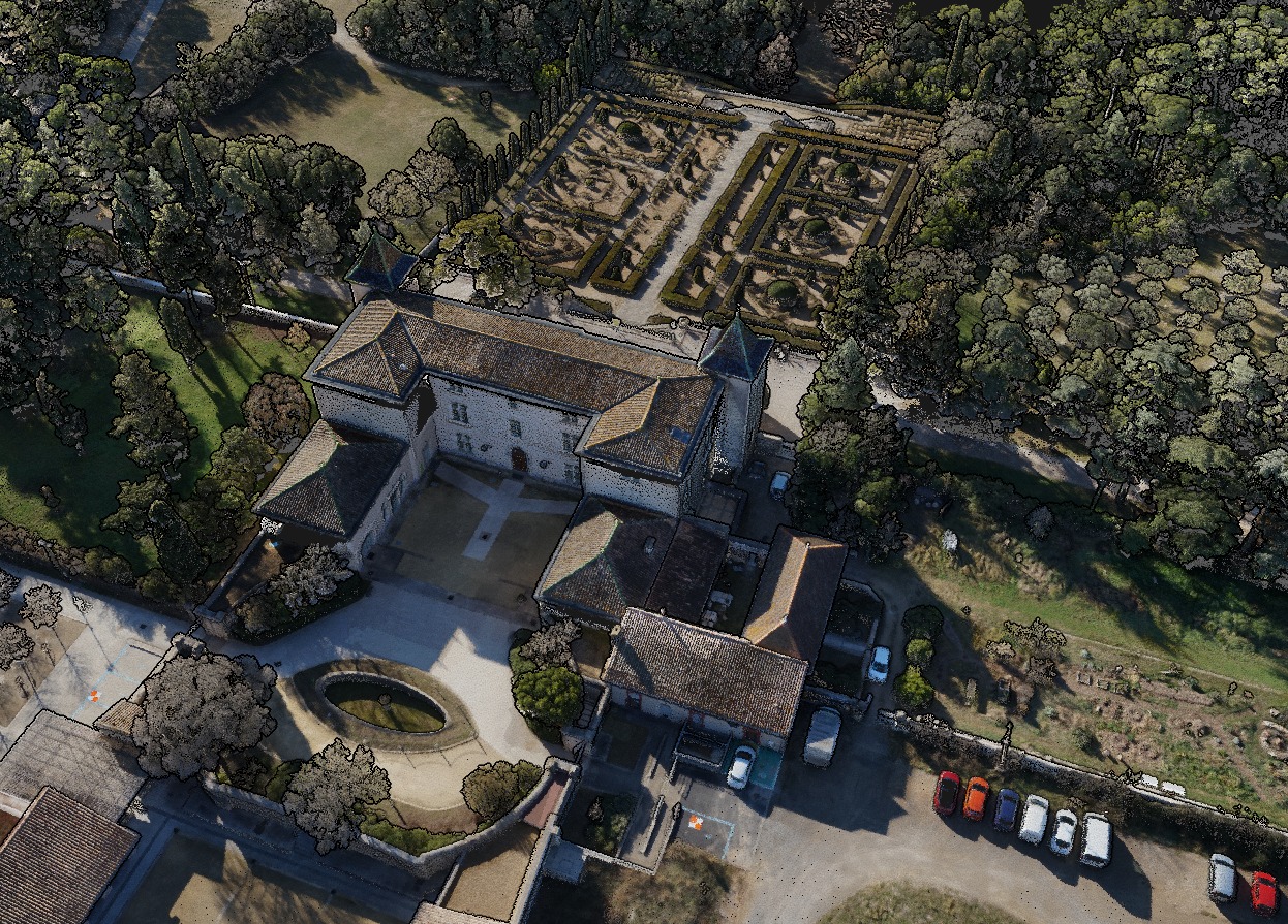
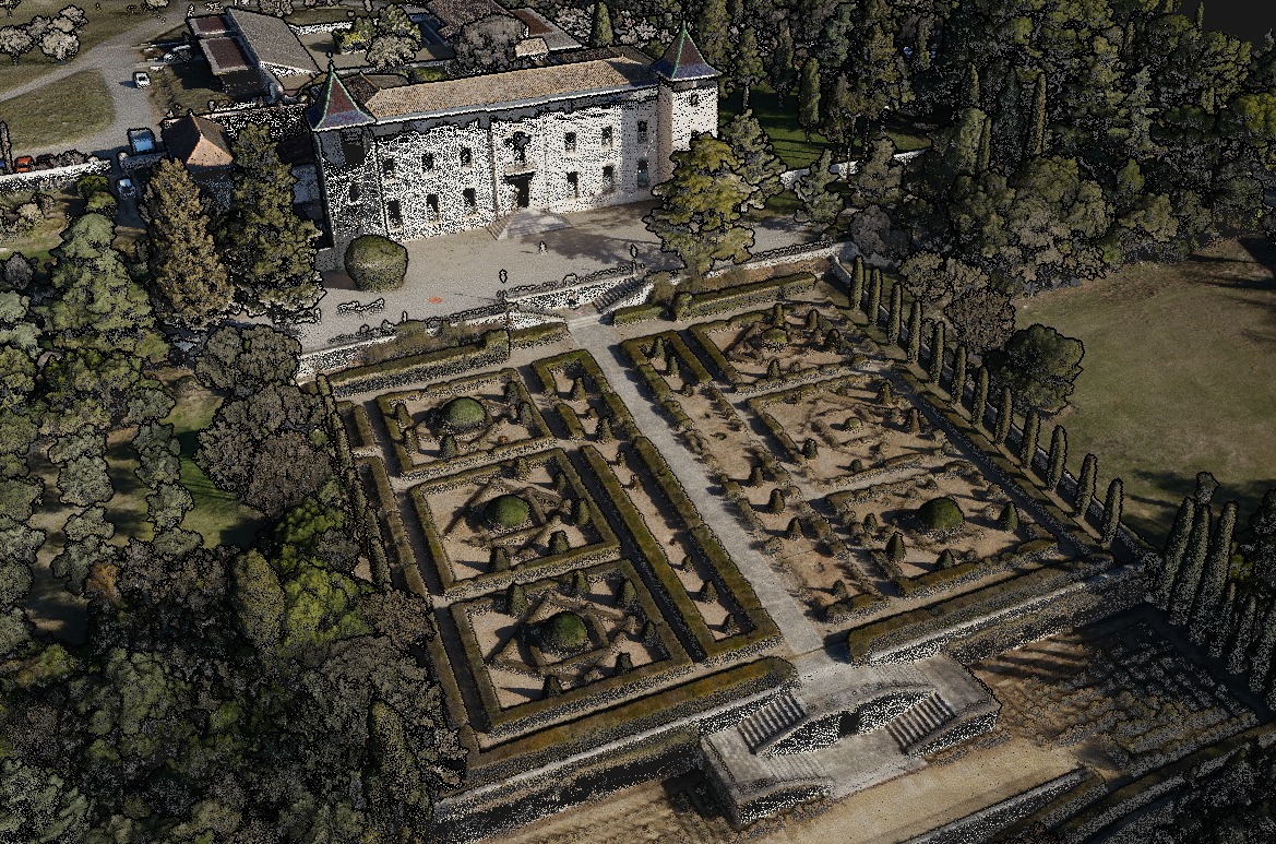

Note: These reference images are from YellowScan global portfolio — not from INSEE UAV missions — shown to demonstrate sensor capability.
Ready to upgrade your Fixed-Wing UAV
with Mapper+?
Contact Thai Sky Vision, Official YellowScan Distributor in Thailand — for OEM Integration consultation and full After-Sales Support.
Thai Sky Vision Co., Ltd. — Official YellowScan Distributor in Thailand