GreenValley International · UAV LiDAR
LiAir H600
Compact UAV LiDAR for Medium-Range Survey
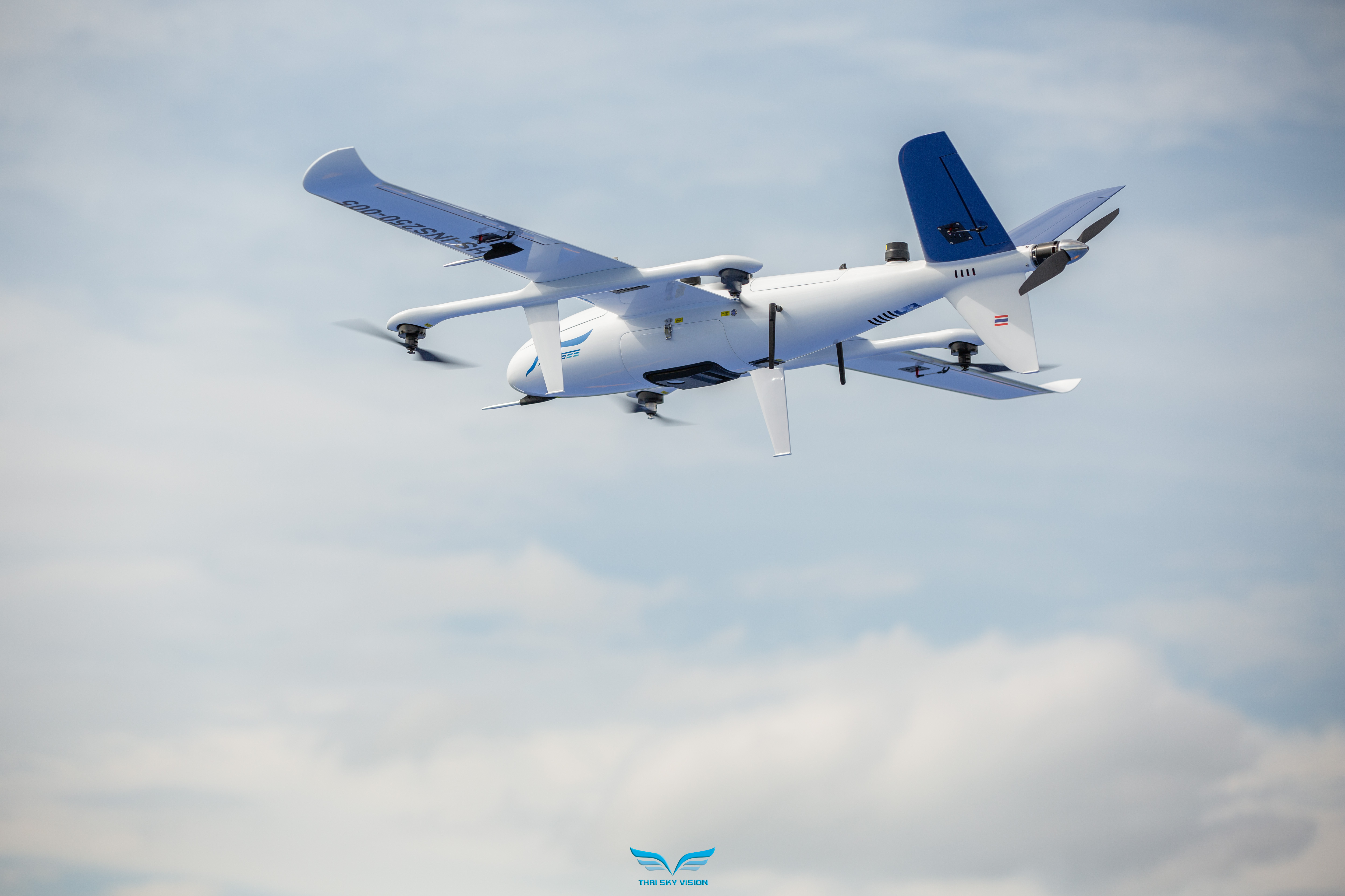
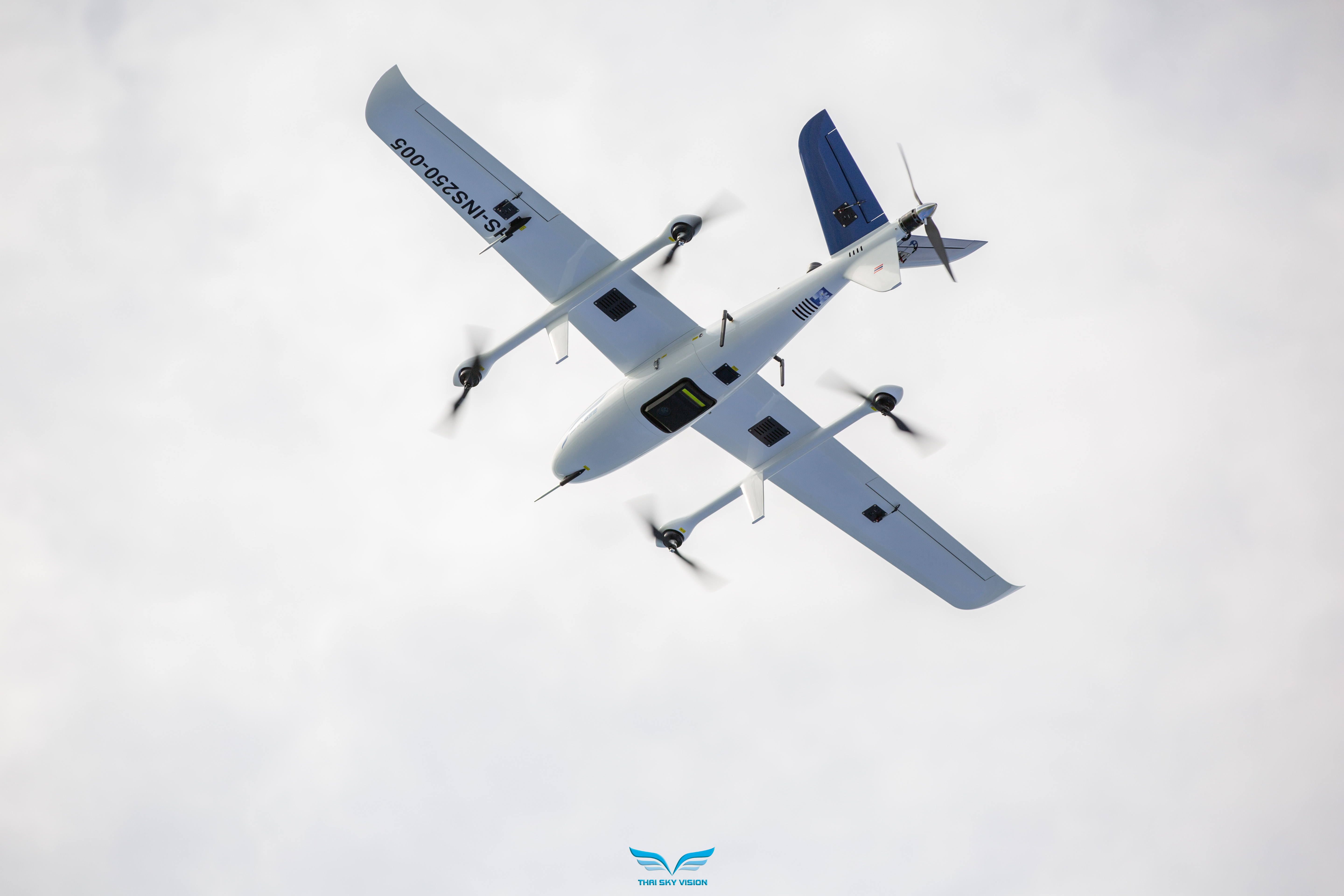
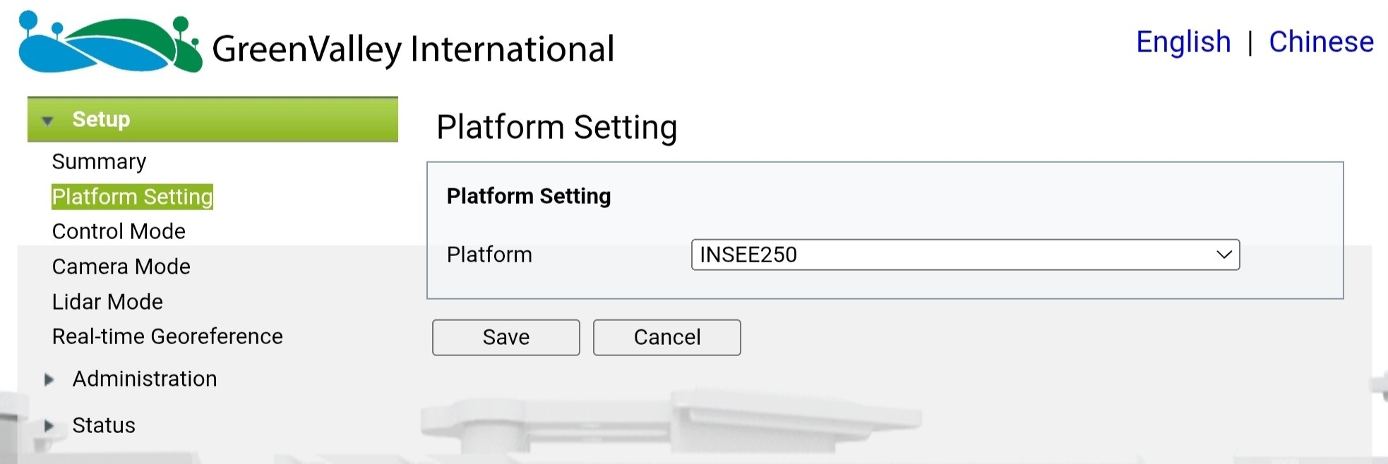
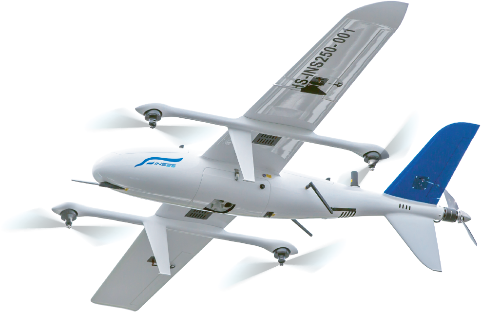
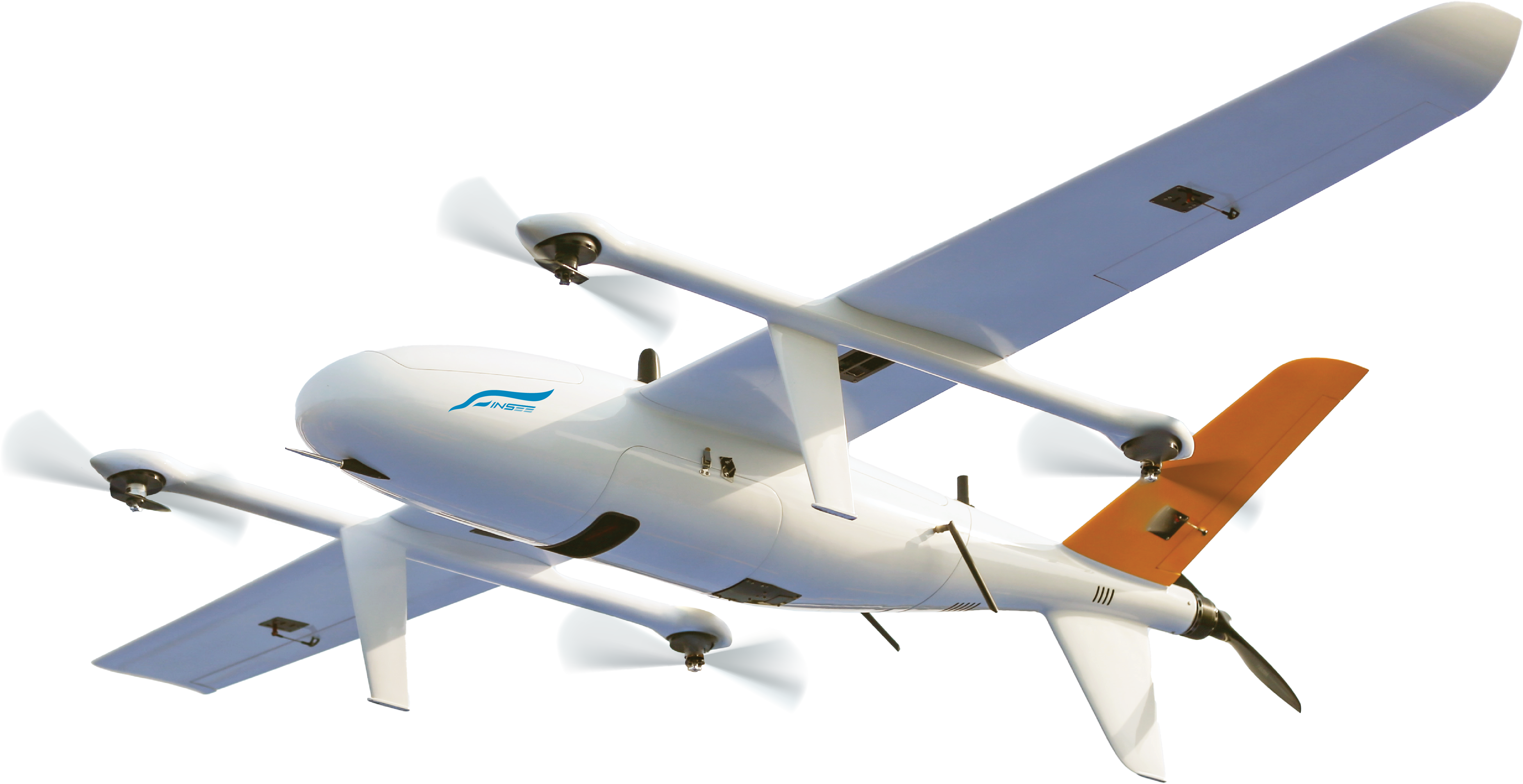
A compact UAV LiDAR weighing just 1.3 kg — 750 m range with a built-in 26MP camera, 7 returns, and survey-grade 1535nm wavelength. Field-proven on INSEE-250 in real Mapping & Corridor Survey missions in Thailand.
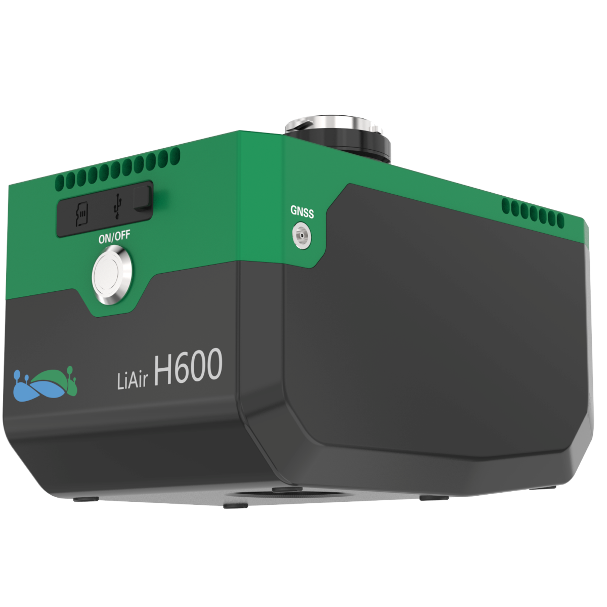
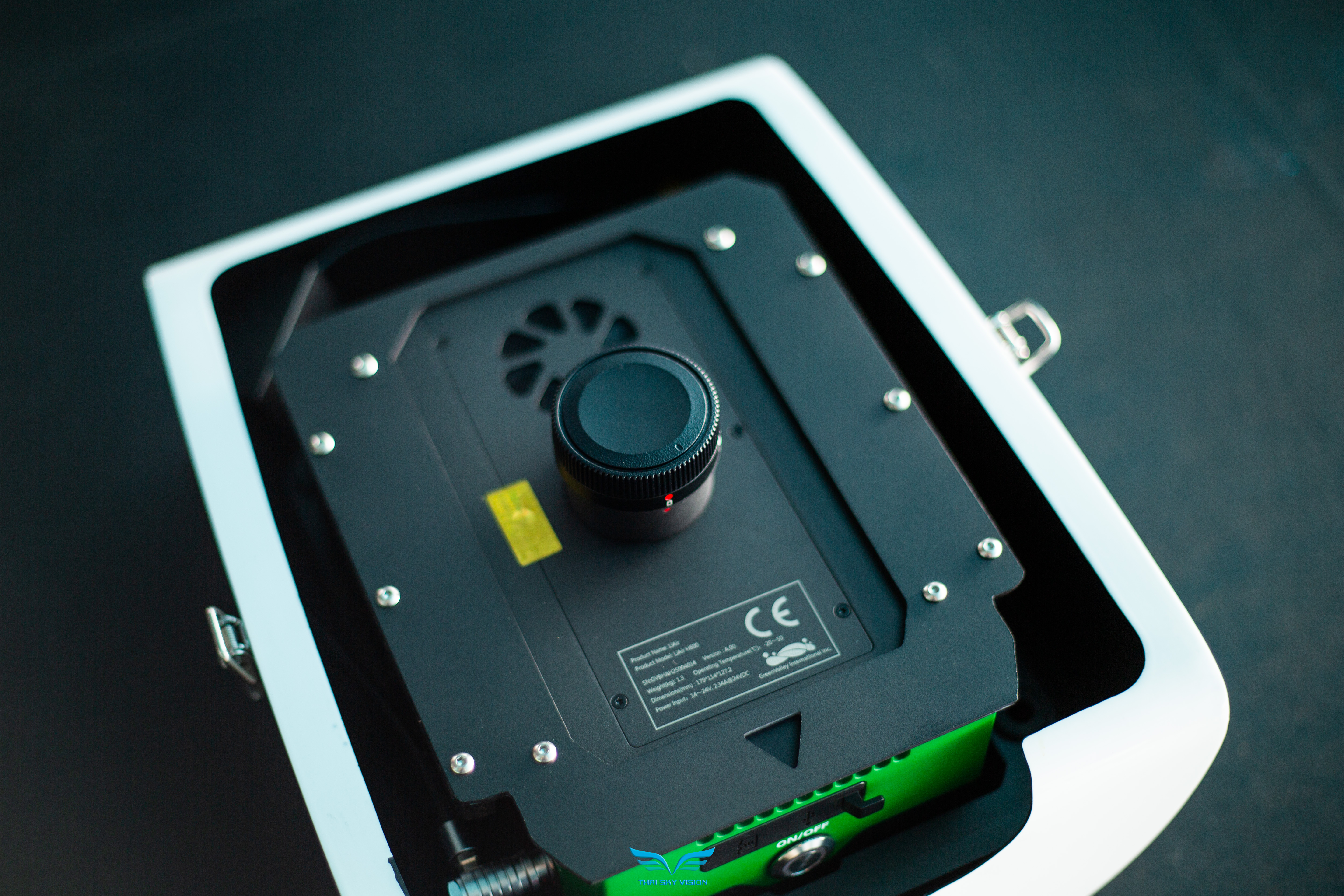
Lightweight 1.3 kg
The lightest in its class — 1.3 kg including camera and IMU — extends flight time and reduces payload load on the UAV. Ideal for INSEE-250.
Survey-Grade 1535nm Laser
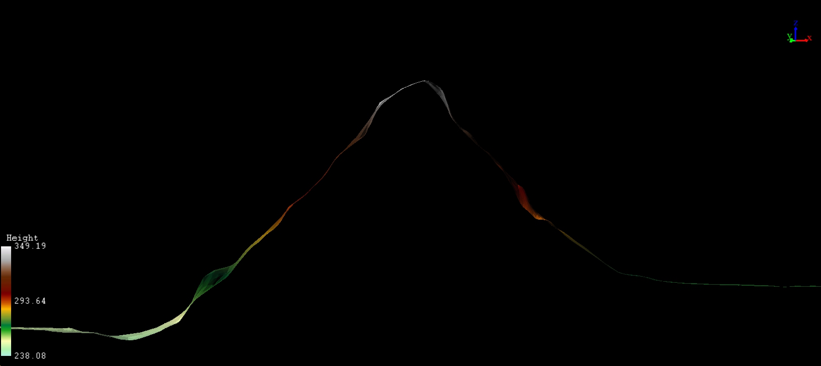
1535nm Class 1 eye-safe laser — survey-grade accuracy with point cloud thickness <3cm @ 200m AGL.
Built-in 26MP Camera
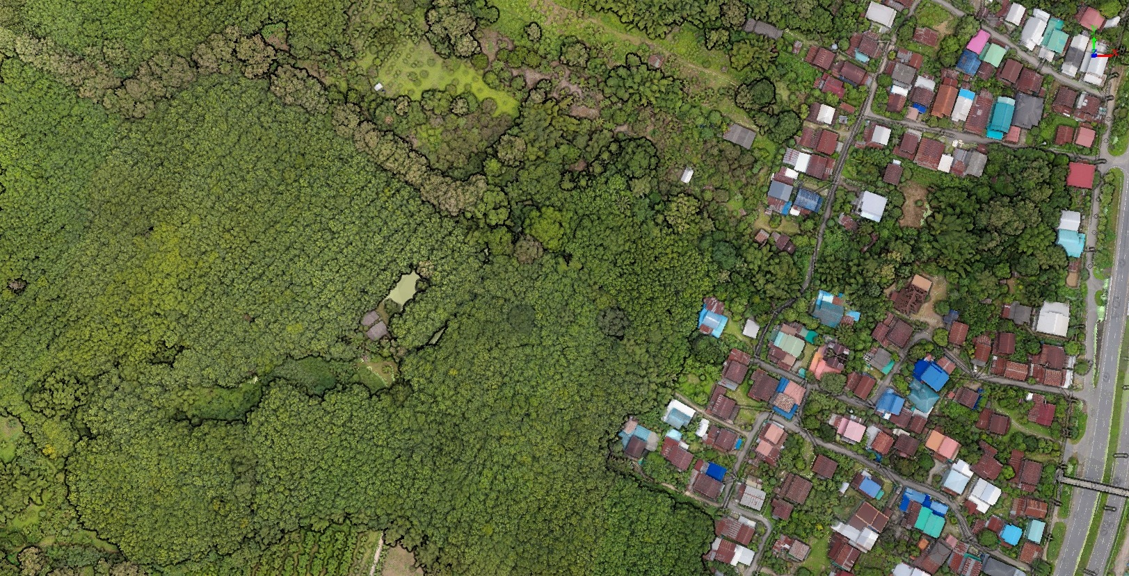
Built-in 26MP Mapping Camera — GSD ~4.7cm @ 200m AGL, ready to colorize point clouds out of the box.
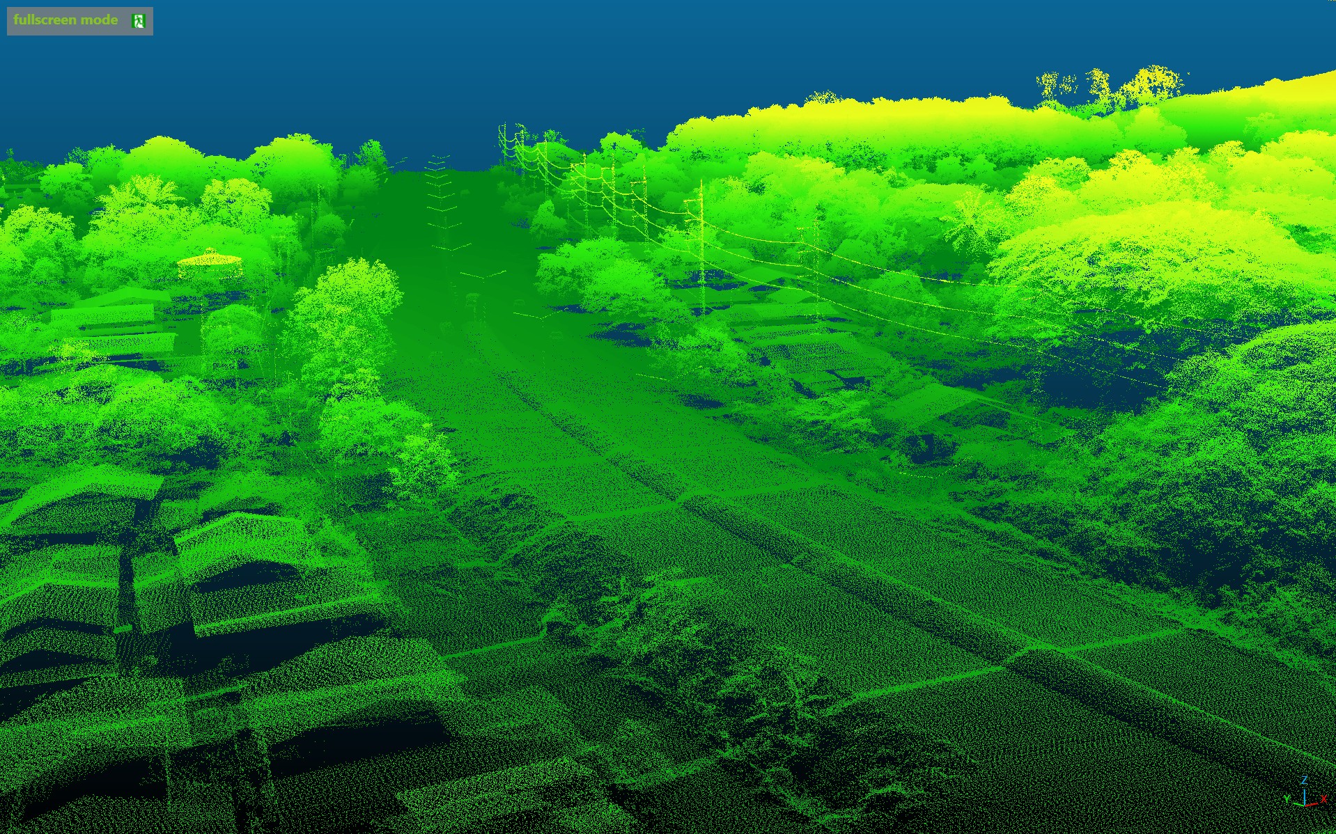
7 Returns Vegetation Penetration
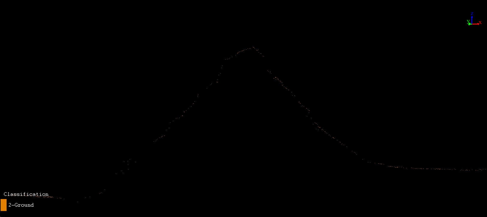
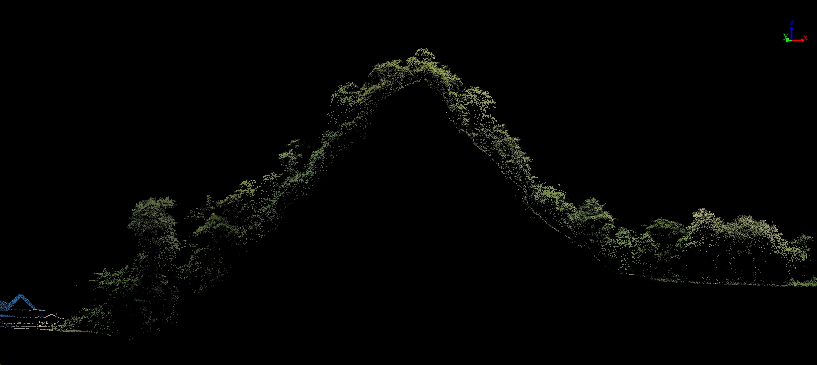
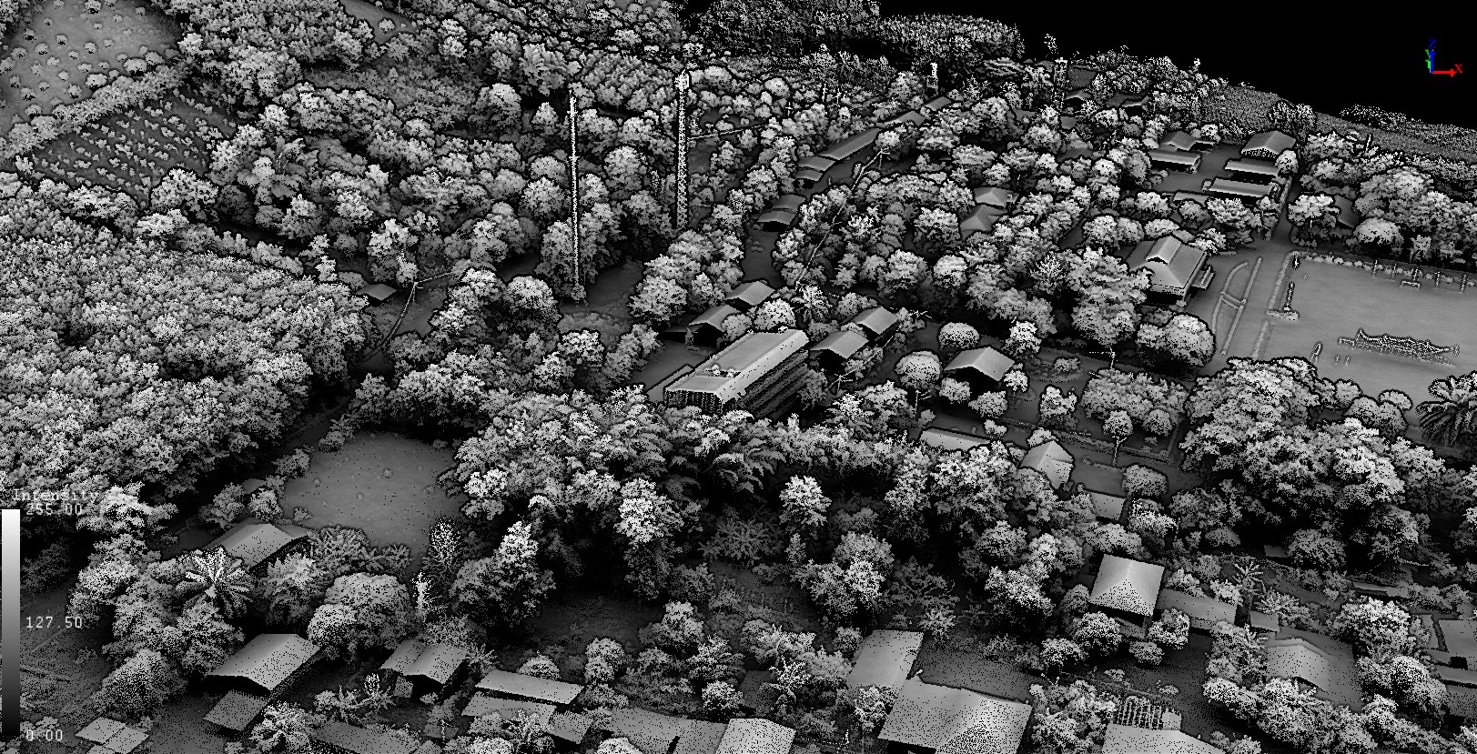
Penetrates dense forest canopy with up to 7 returns — ideal for Forestry, DEM, and Powerline Inspection.
Specifications.
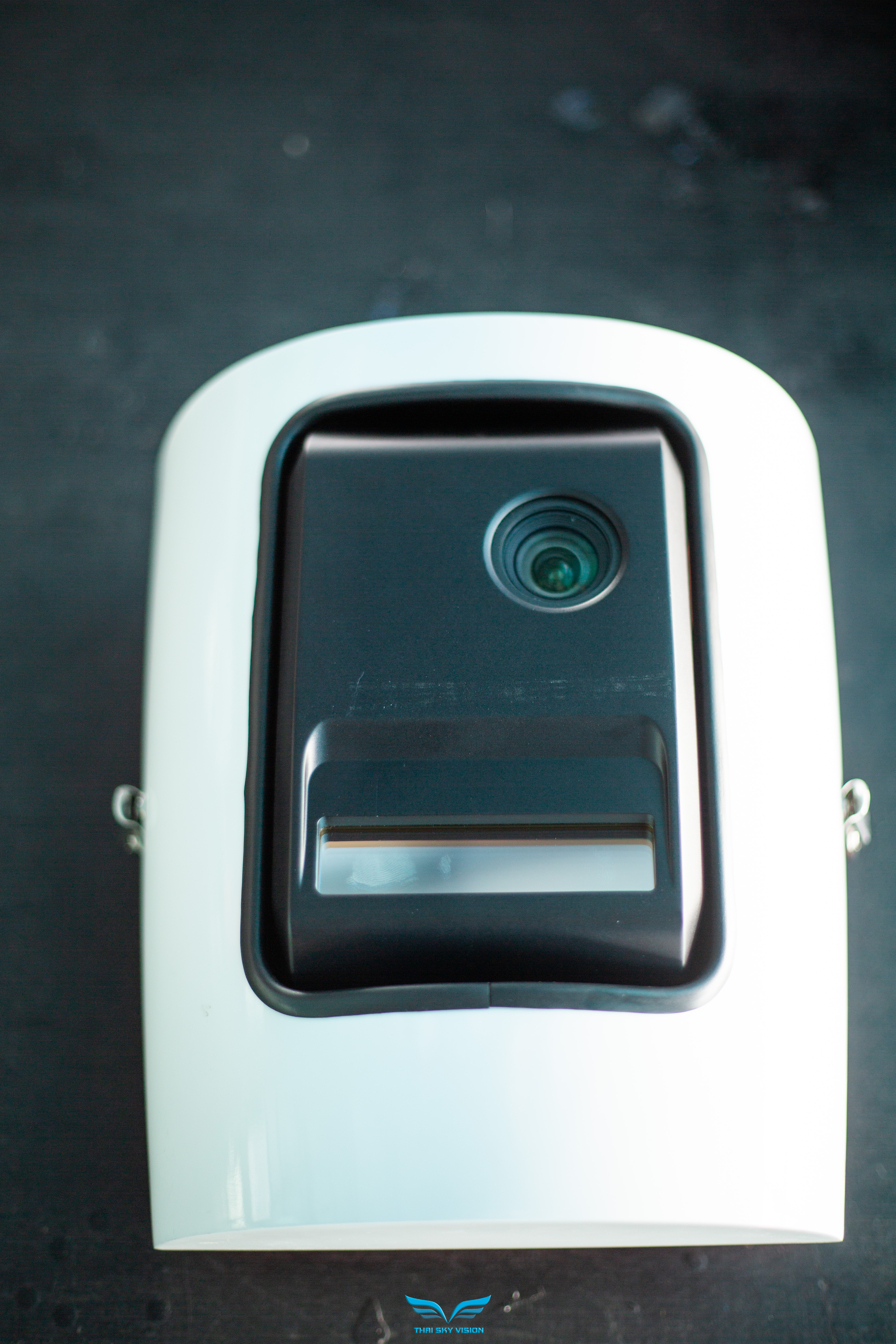
The H600 in Detail.
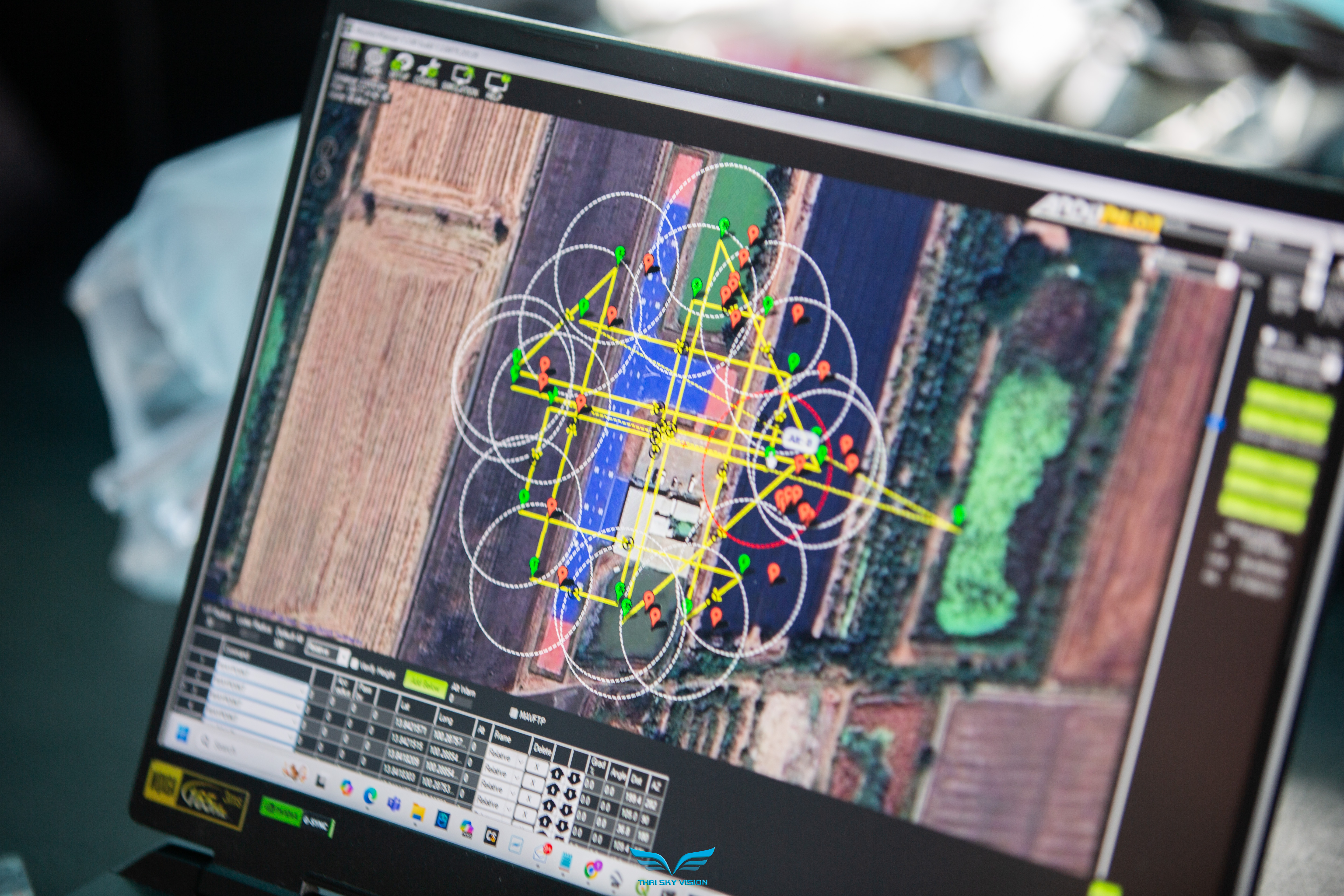
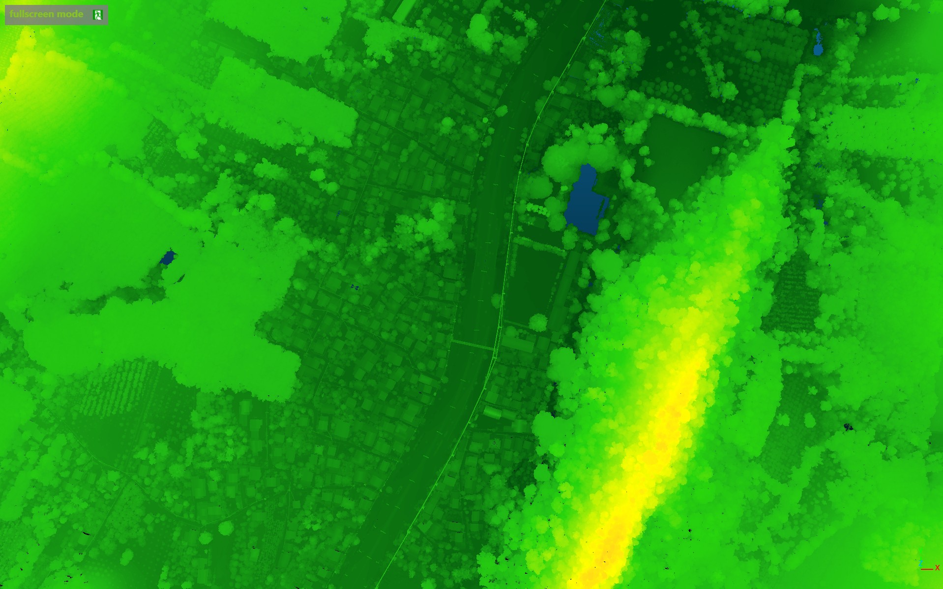
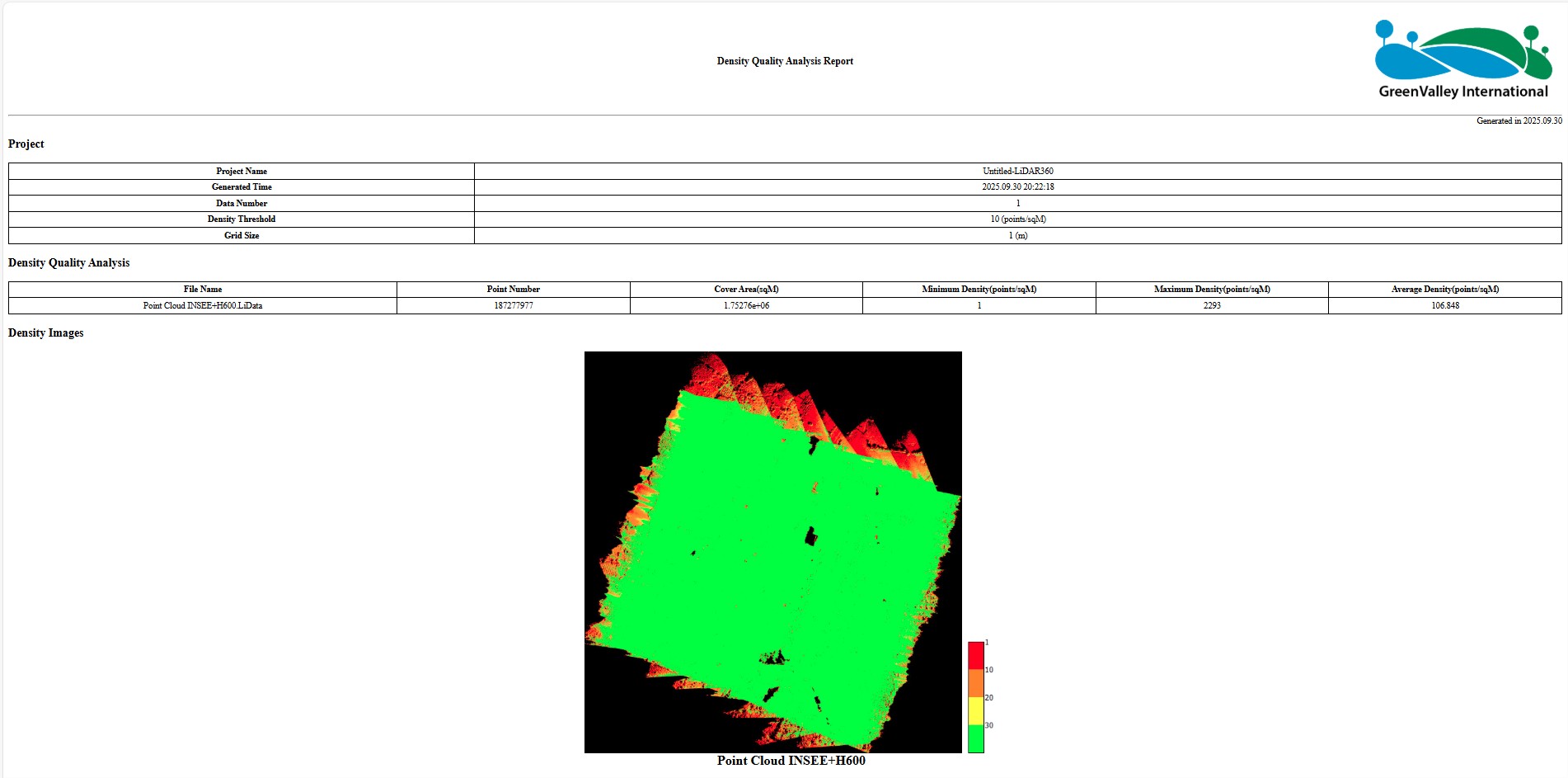
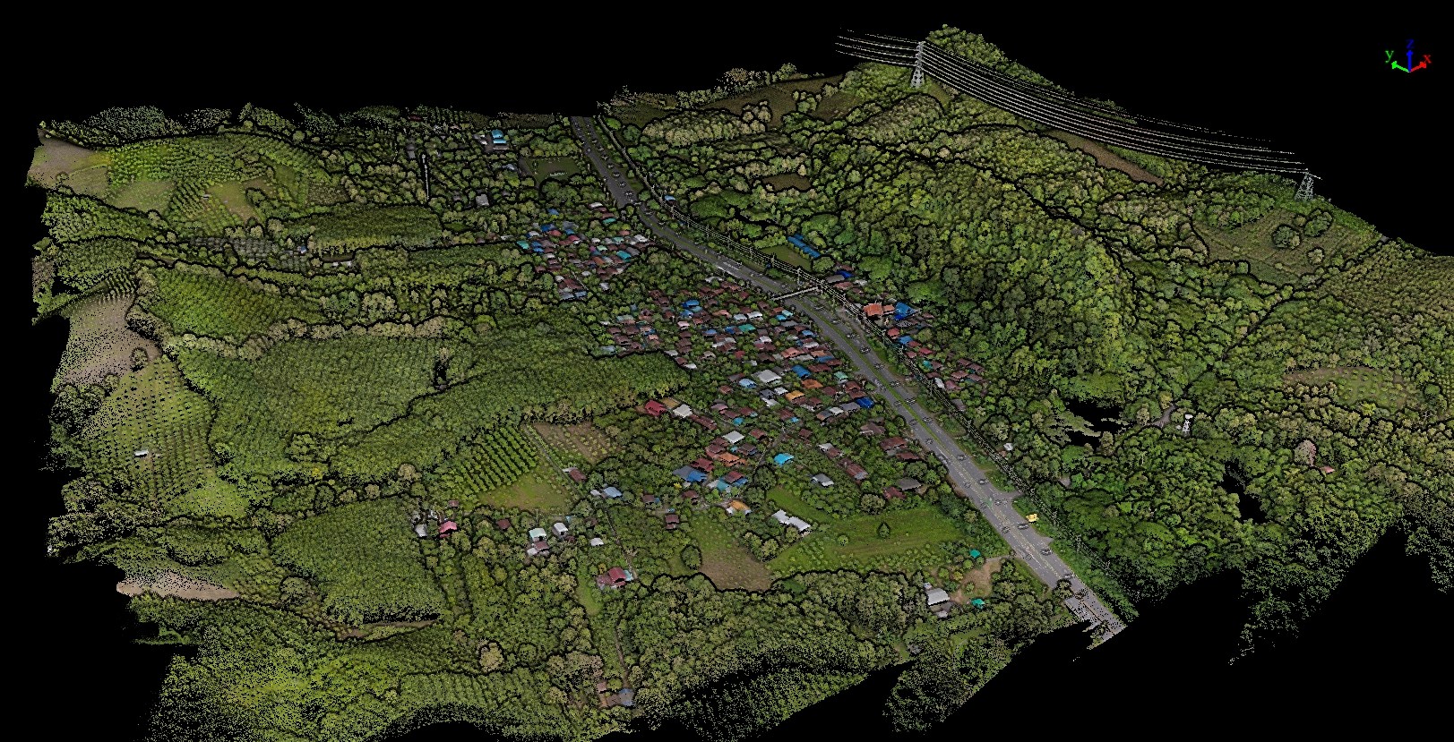
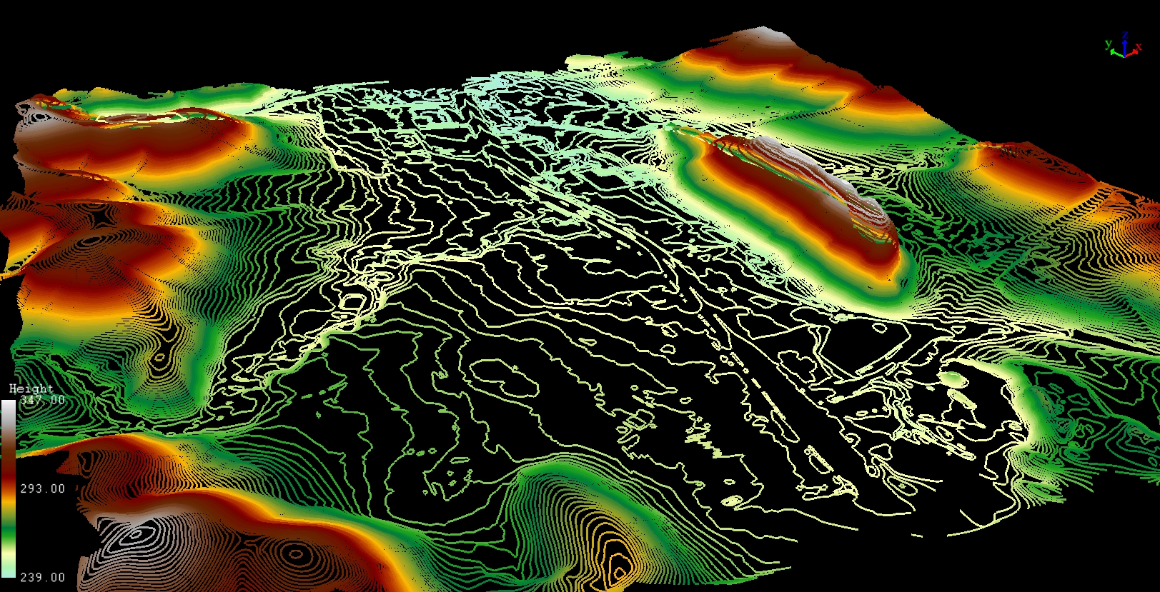
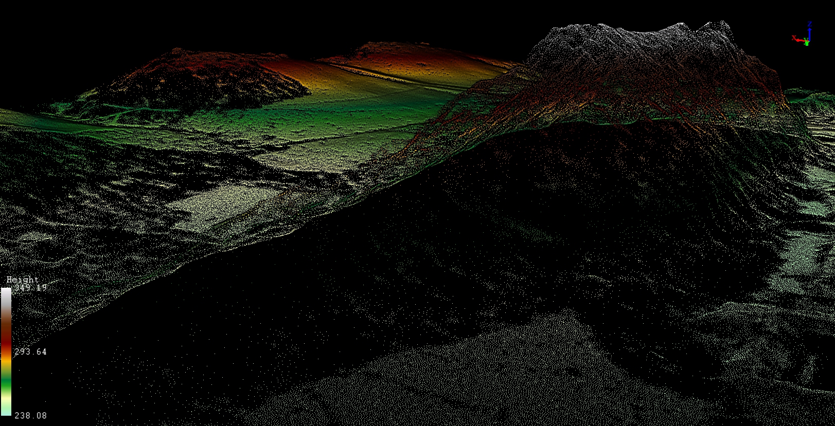
Point Cloud & Flight Snapshots.
Real survey missions flown with INSEE-250 + GVI LiAir H600 — including point cloud, terrain mesh, and field imagery.
cloud_downloadRequest Sample Point Cloud (.laz)
A real sample point cloud from an INSEE-250 + GVI LiAir H600 flight — fill in your details to receive the download link by email (open with the free CloudStation Viewer).
Ready to take your Survey work to the next level
with the LiAir H600?
Talk to the INSEE UAV team — get expert consultation, live flight demos, and a compact LiDAR solution for Survey, Forestry, and Corridor Mapping.
INSEE UAV — Engineered in Thailand · Operated by Thai Sky Vision Co., Ltd.