
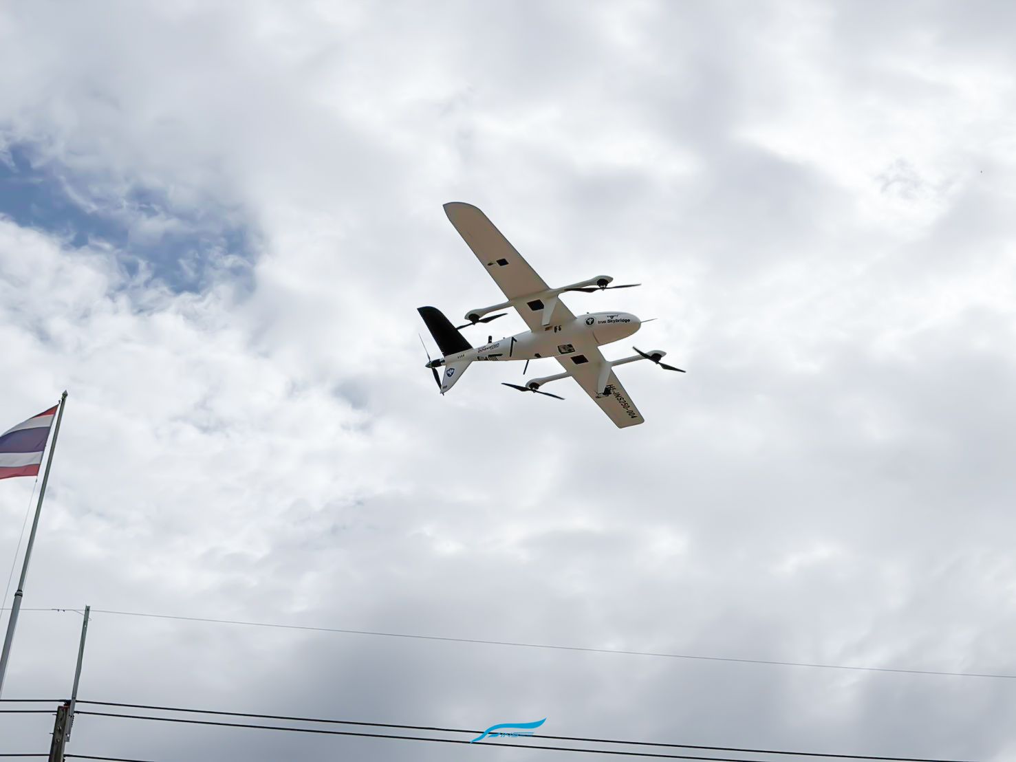
INSEE-250 × True SkyBridge
Aerial disaster mapping over flood-hit Pua district, Nan
supporting real-world emergency management
From testing to a real mission amid the flood crisis
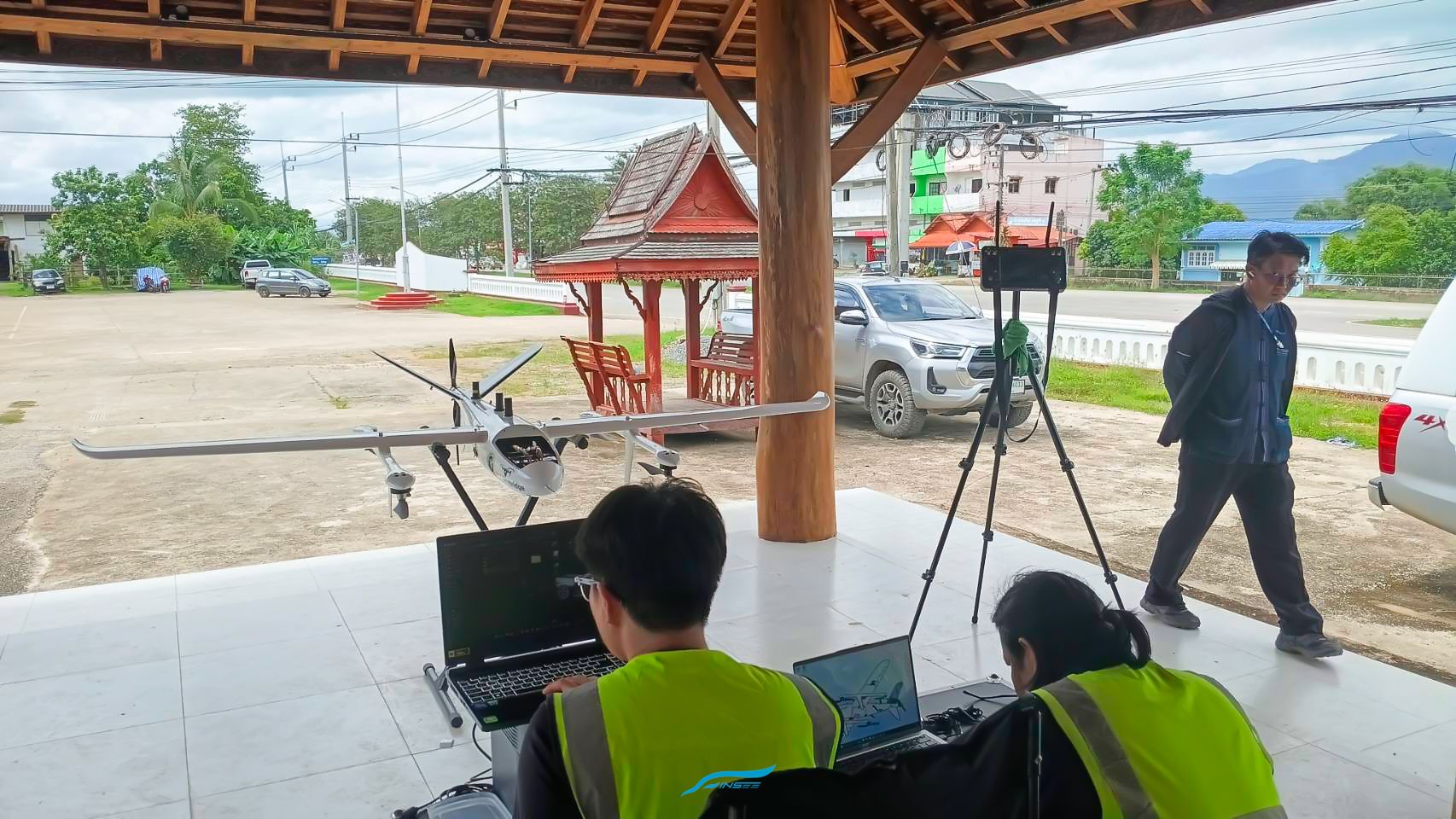
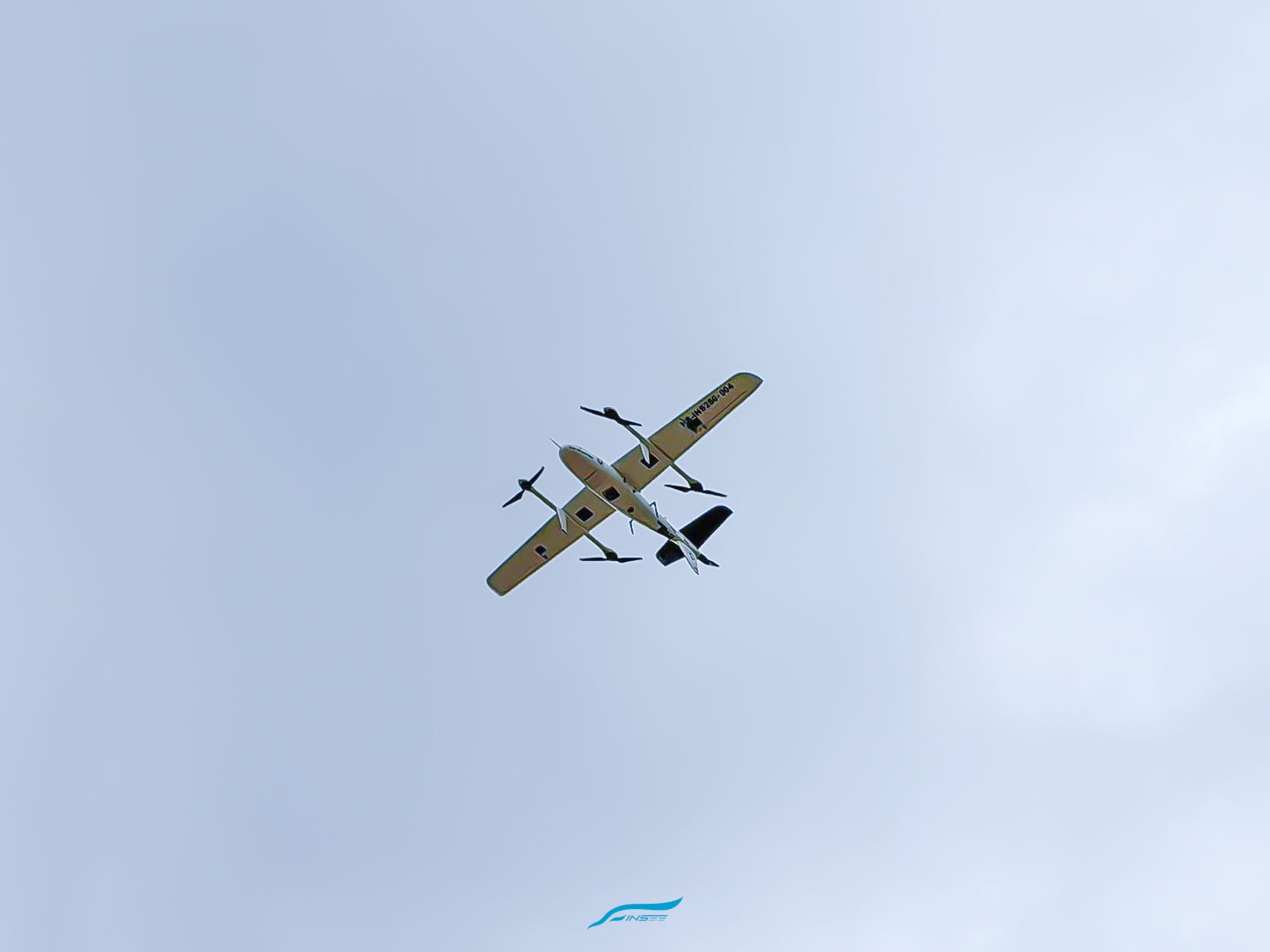
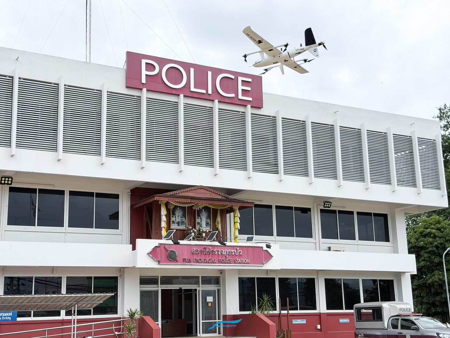
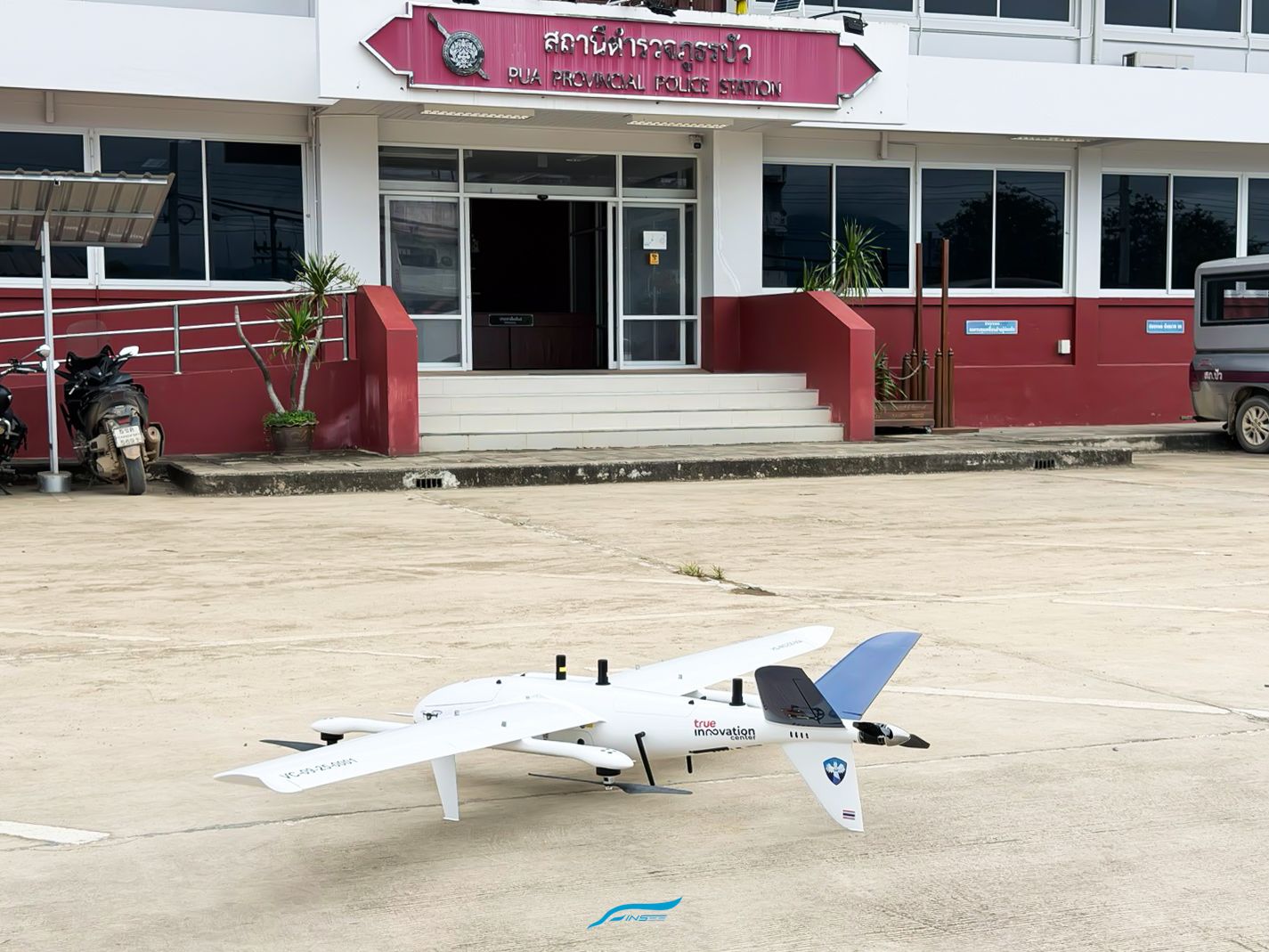
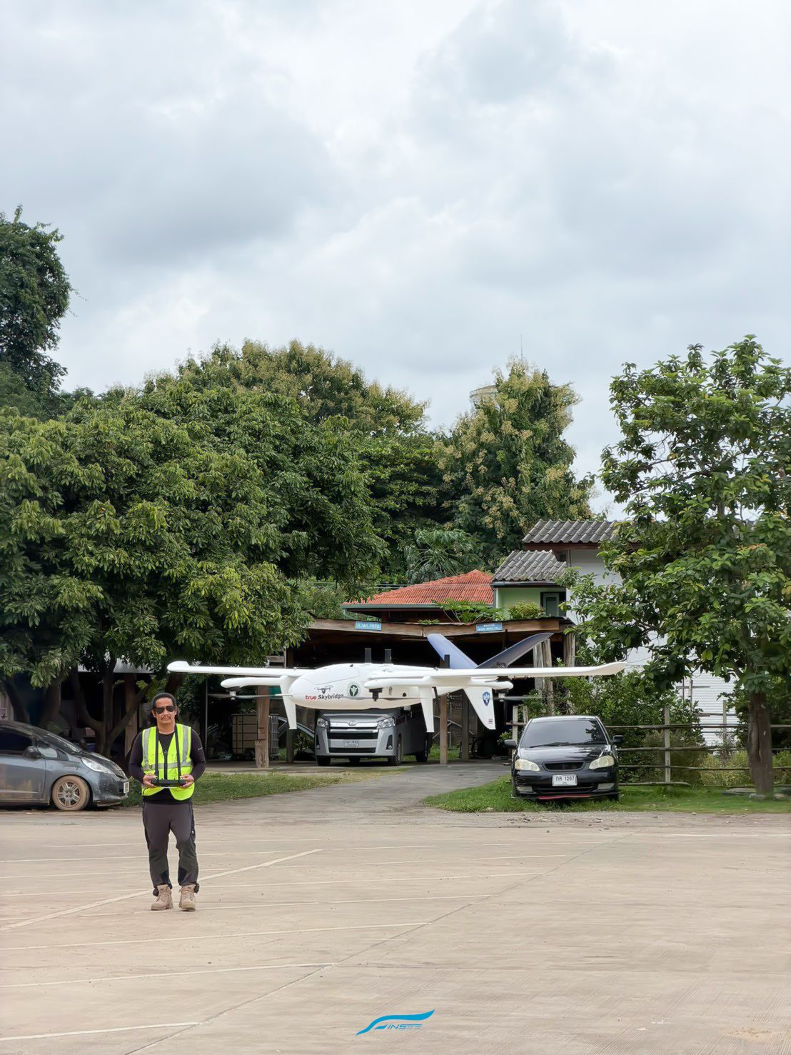
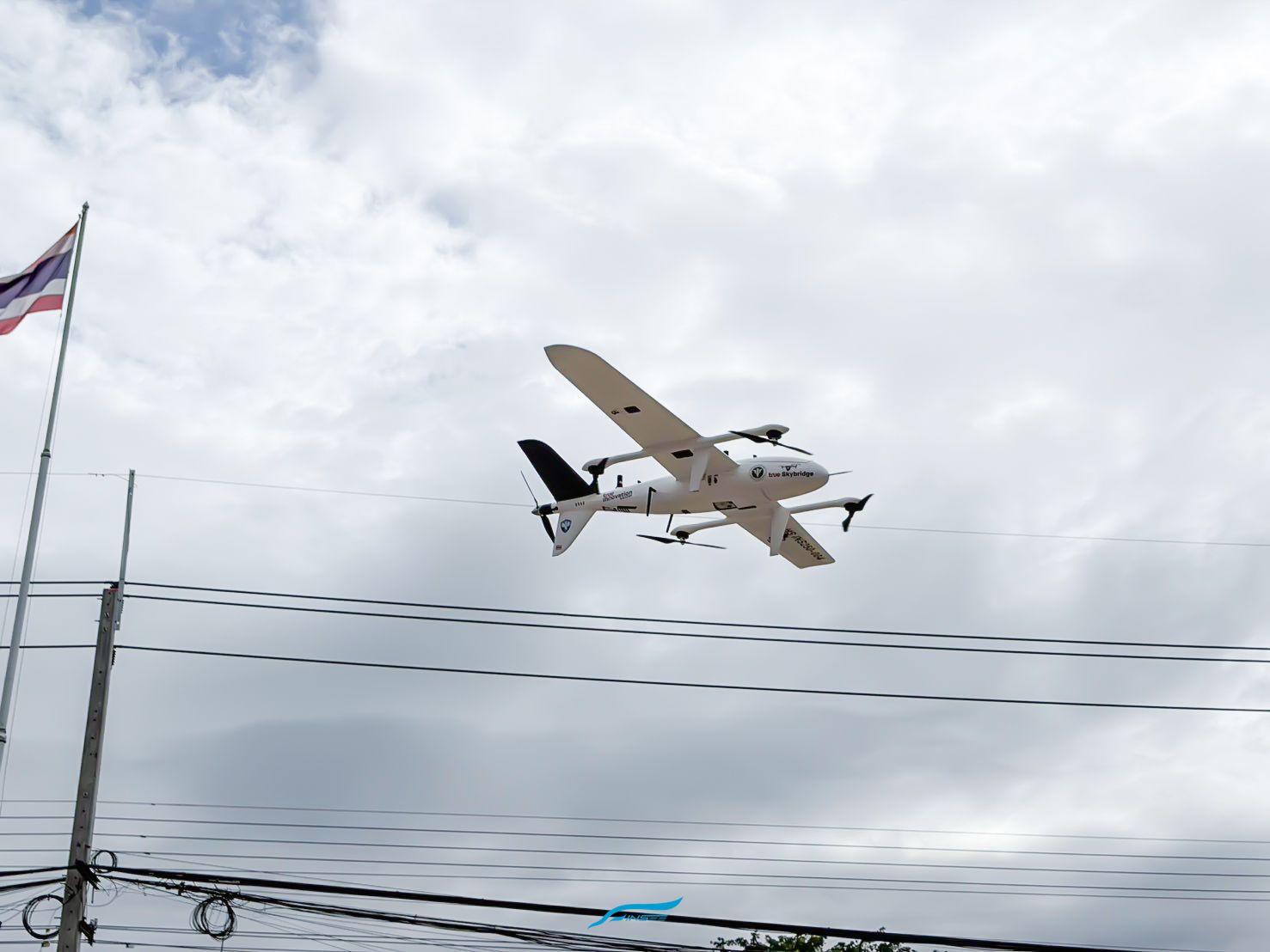
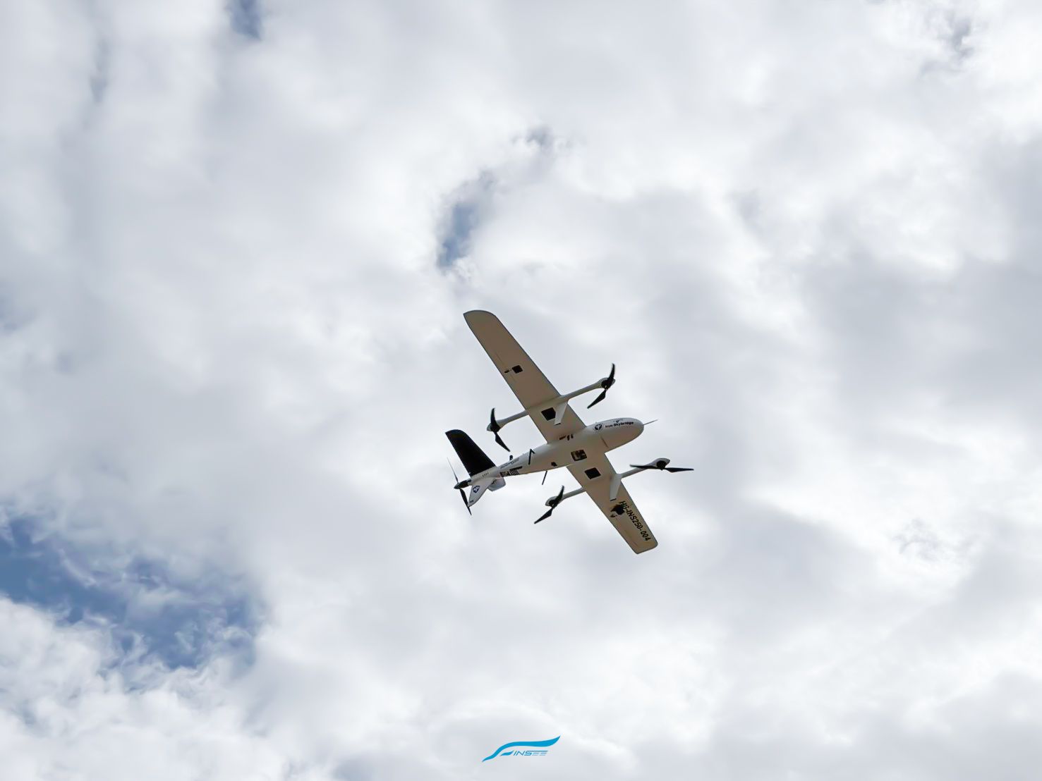
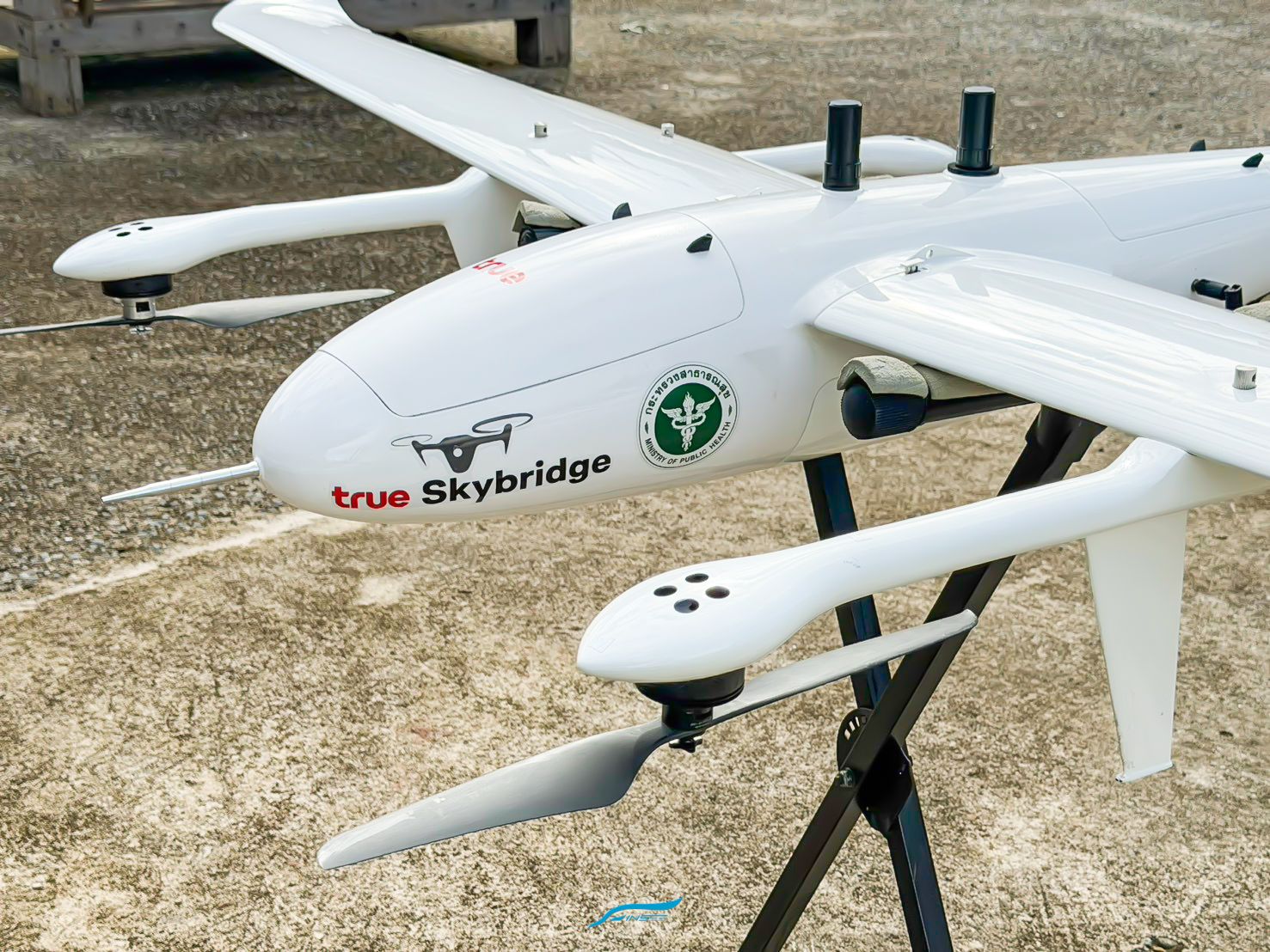
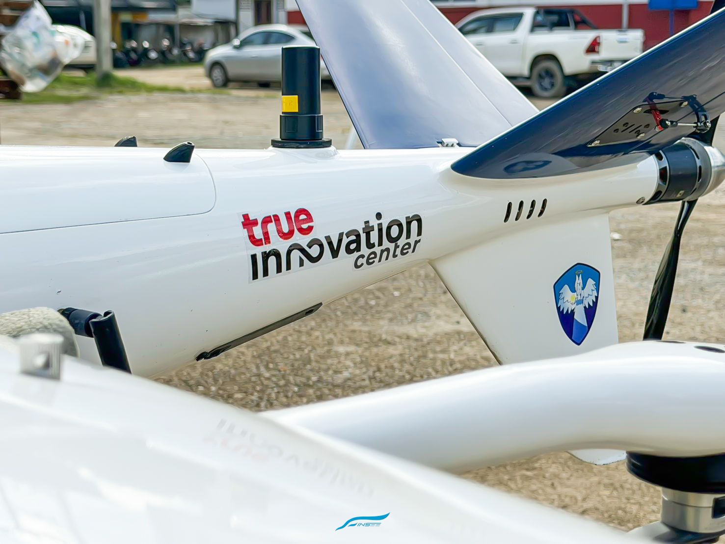
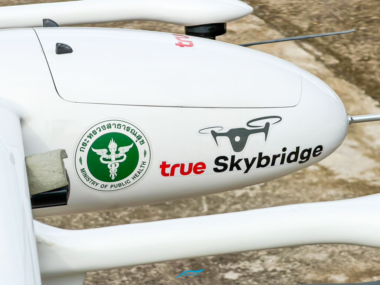
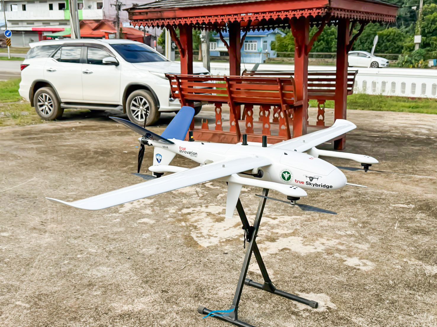
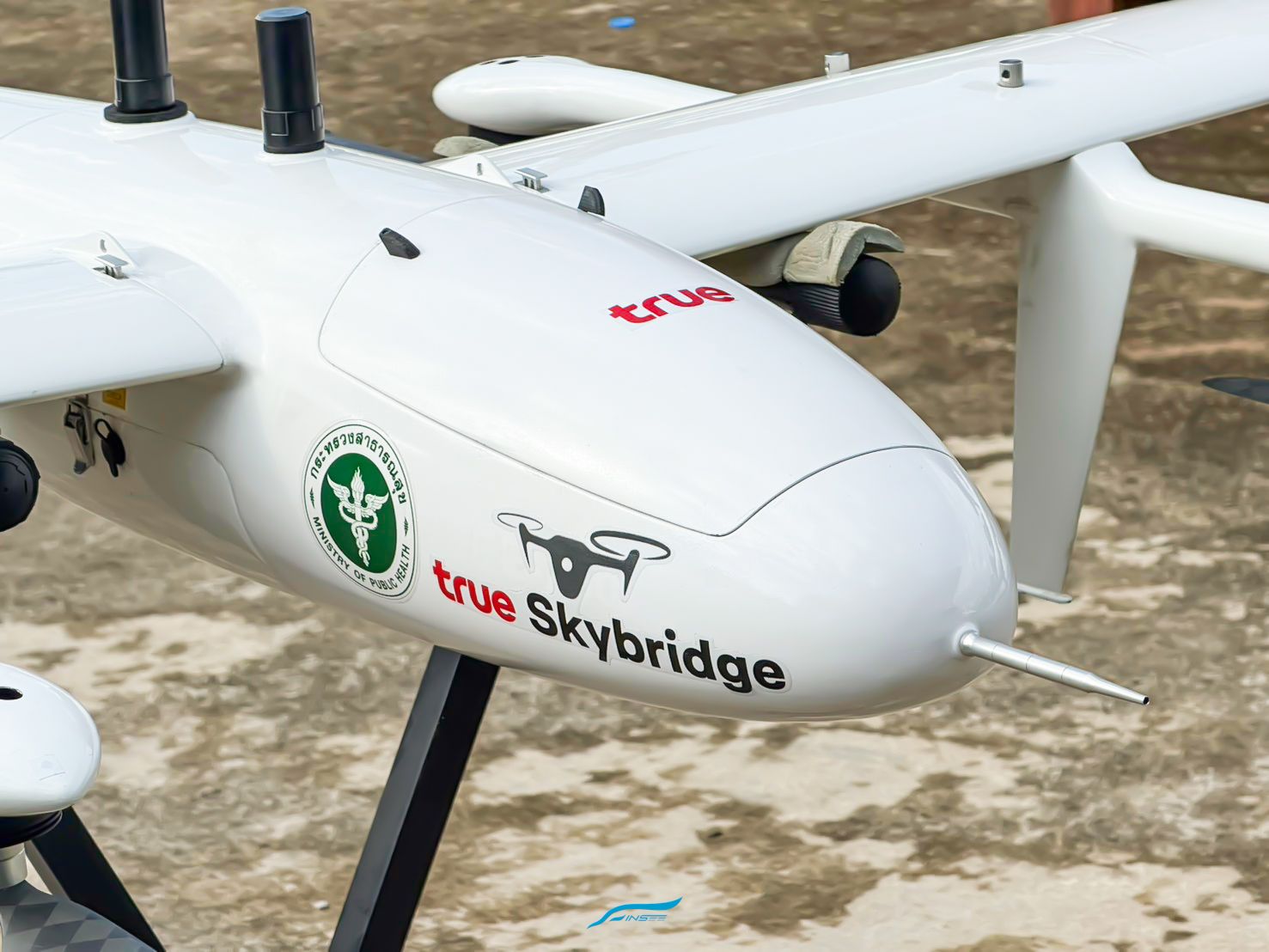
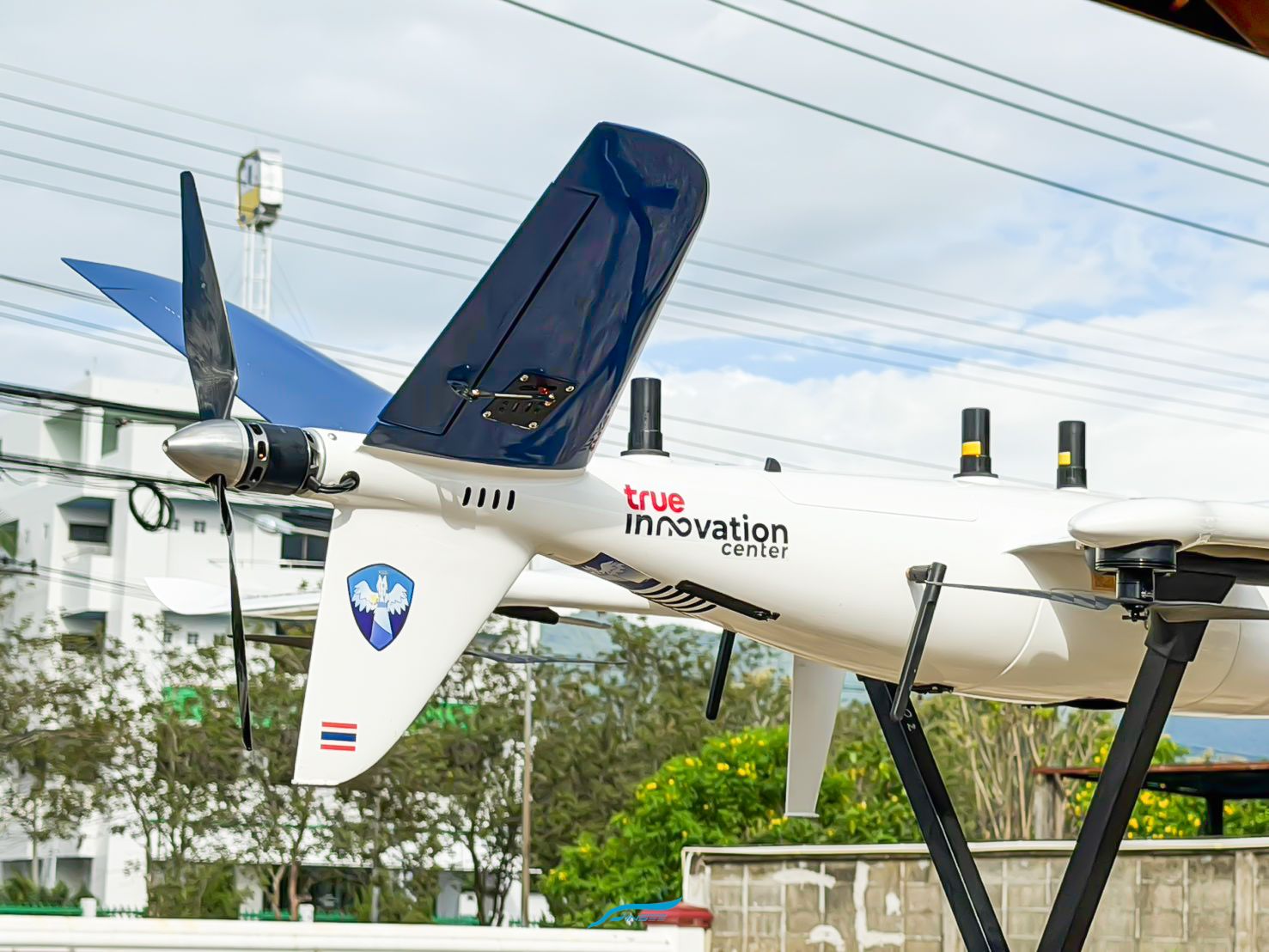
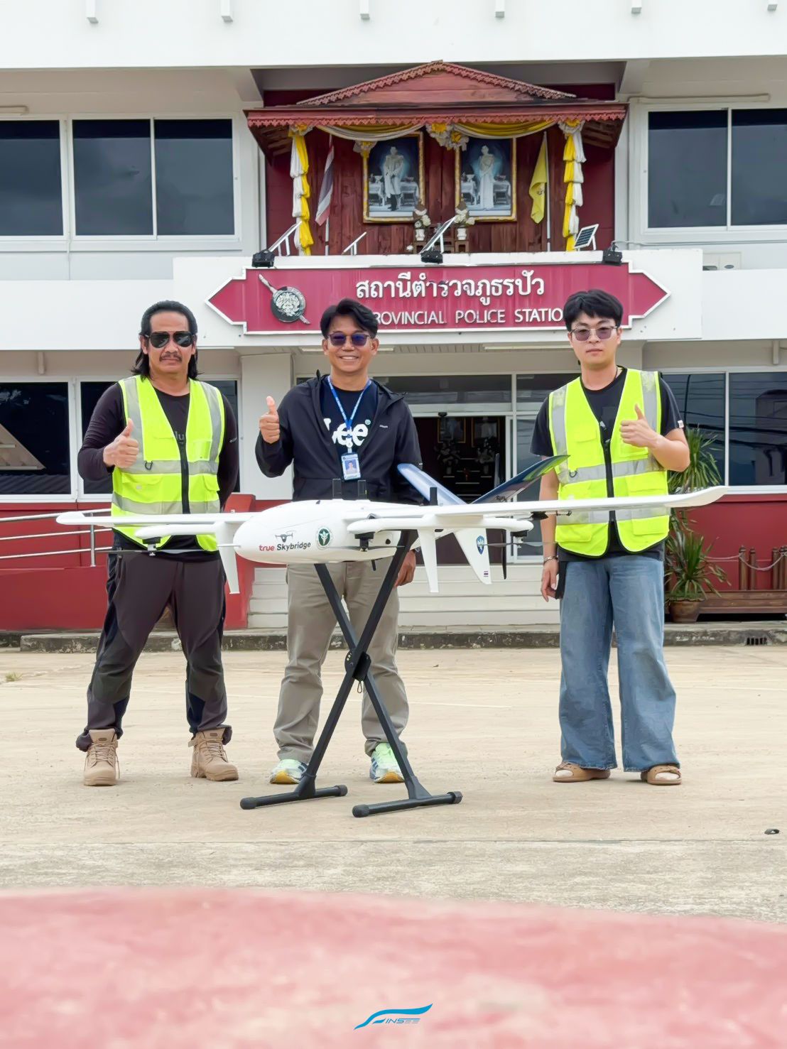
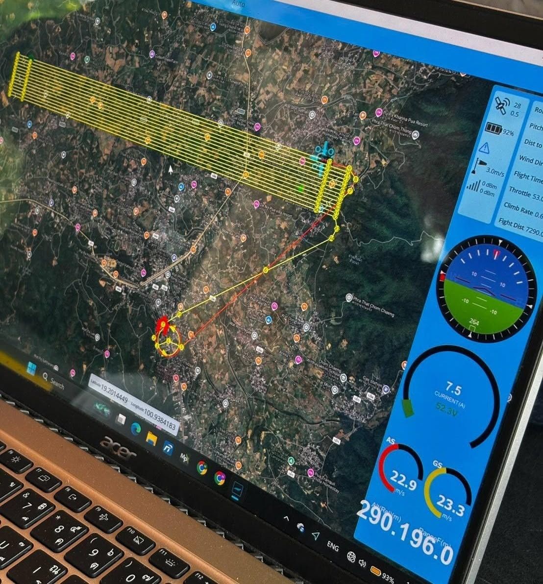
The INSEE-250 E-VTOL Fixed-Wing UAV joined a live emergency operation with True Innovation, under the True SkyBridge platform, at Pua district, Nan province — flying high-resolution aerial mapping missions over the flood-affected area to support disaster management and relief planning on a shared situational picture.
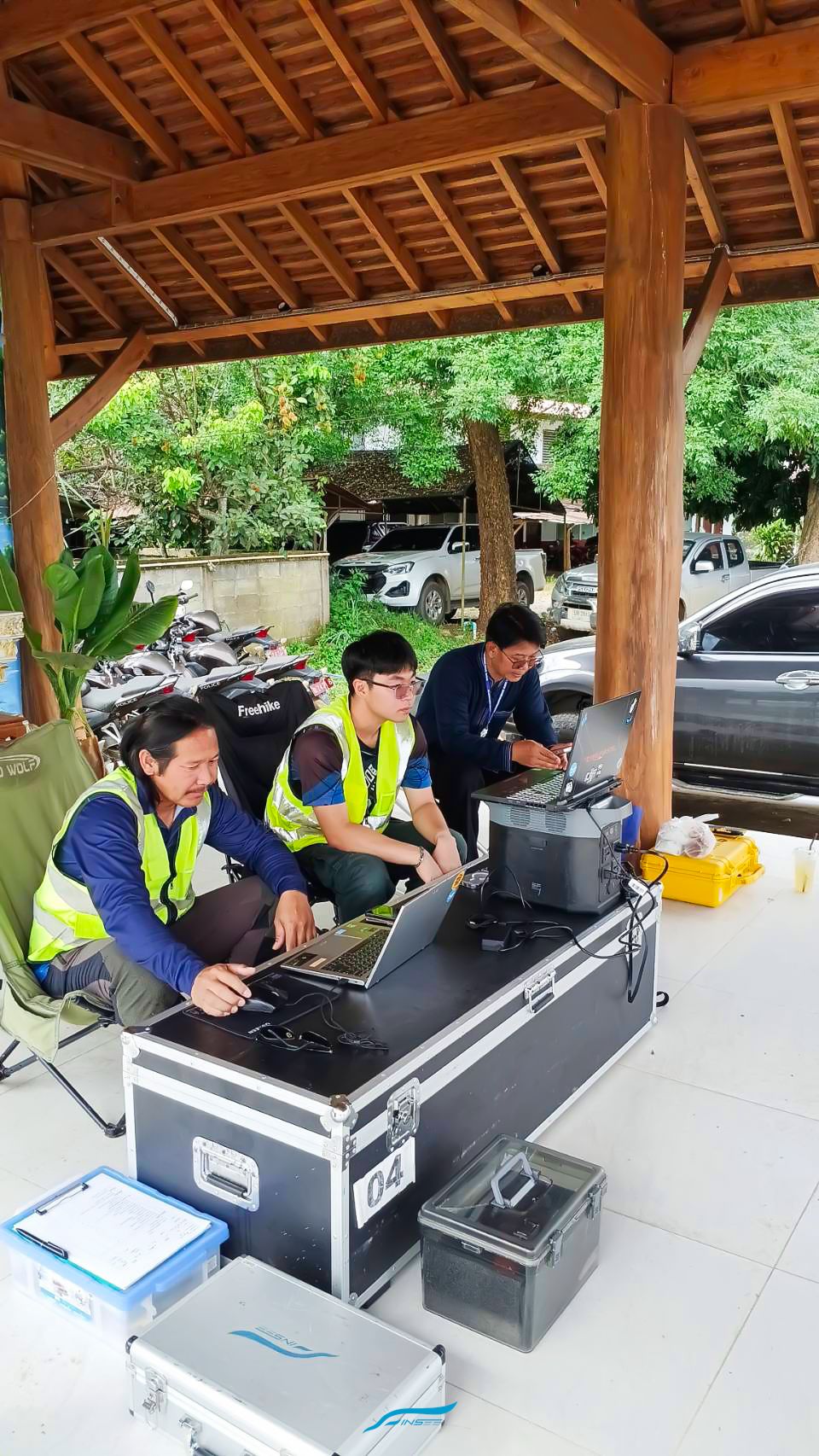
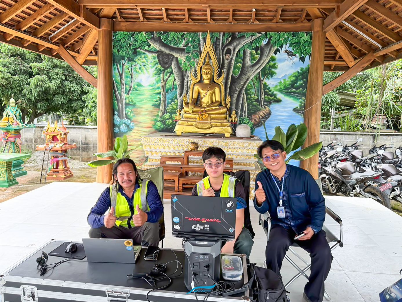
The mission connects 3D Aerial Intelligence with on-the-ground coordination, with Pua Crown Prince Hospital as the operations center together with the Ministry of Public Health — turning the "Pua model" from a test into real-world emergency response.
VTOL Fixed-Wing, wide coverage
Vertical take-off in confined areas, then fixed-wing flight to cover large flood zones in a single mission.
High-resolution aerial mapping
Captures orthophoto / 3D maps of the affected area so response teams can see the real situation and plan precisely.
One shared situational picture
Feeds mapping data into the True SkyBridge common operating picture — coordinating multiple teams and routes at once.
Thai-built, for Thailand
A locally designed and developed UAV, used for real when people and communities need it — with full local support.
From Innovation to Infrastructure
Interested in UAV solutions for survey, mapping and emergency missions? Talk to the INSEE UAV / Thai Sky Vision team.
Read True's article open_in_new Contact INSEE UAV arrow_forward