LiDARINSEE-250
CHCNav AlphaAir 10
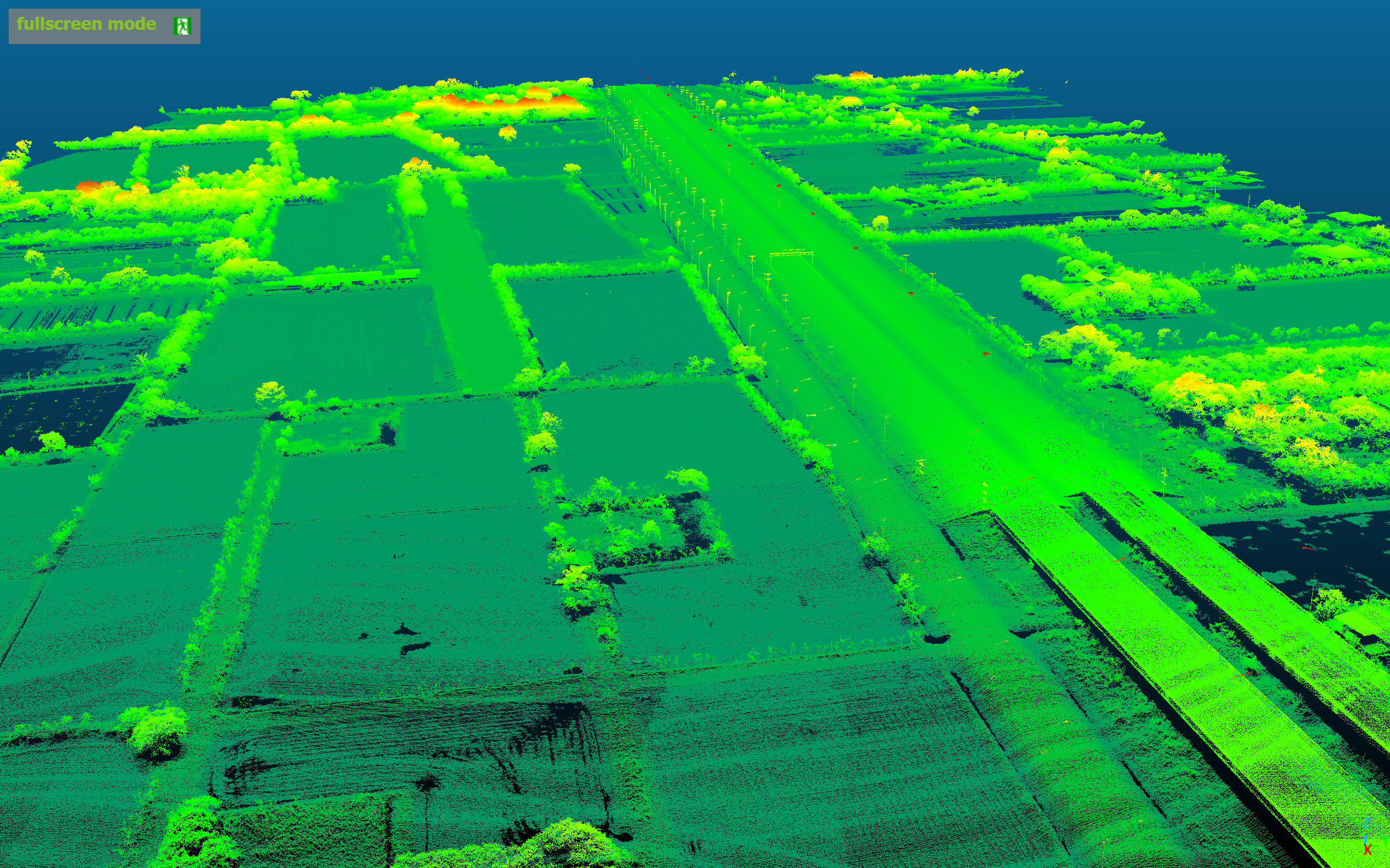
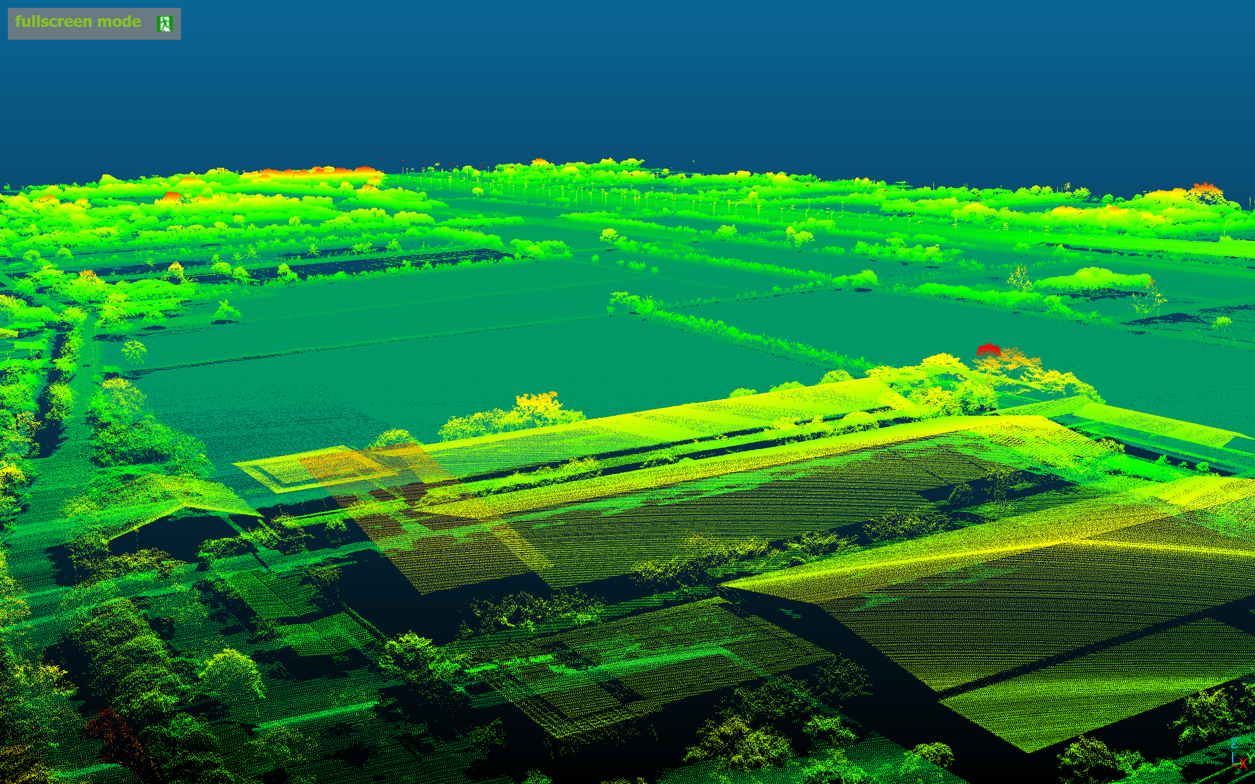
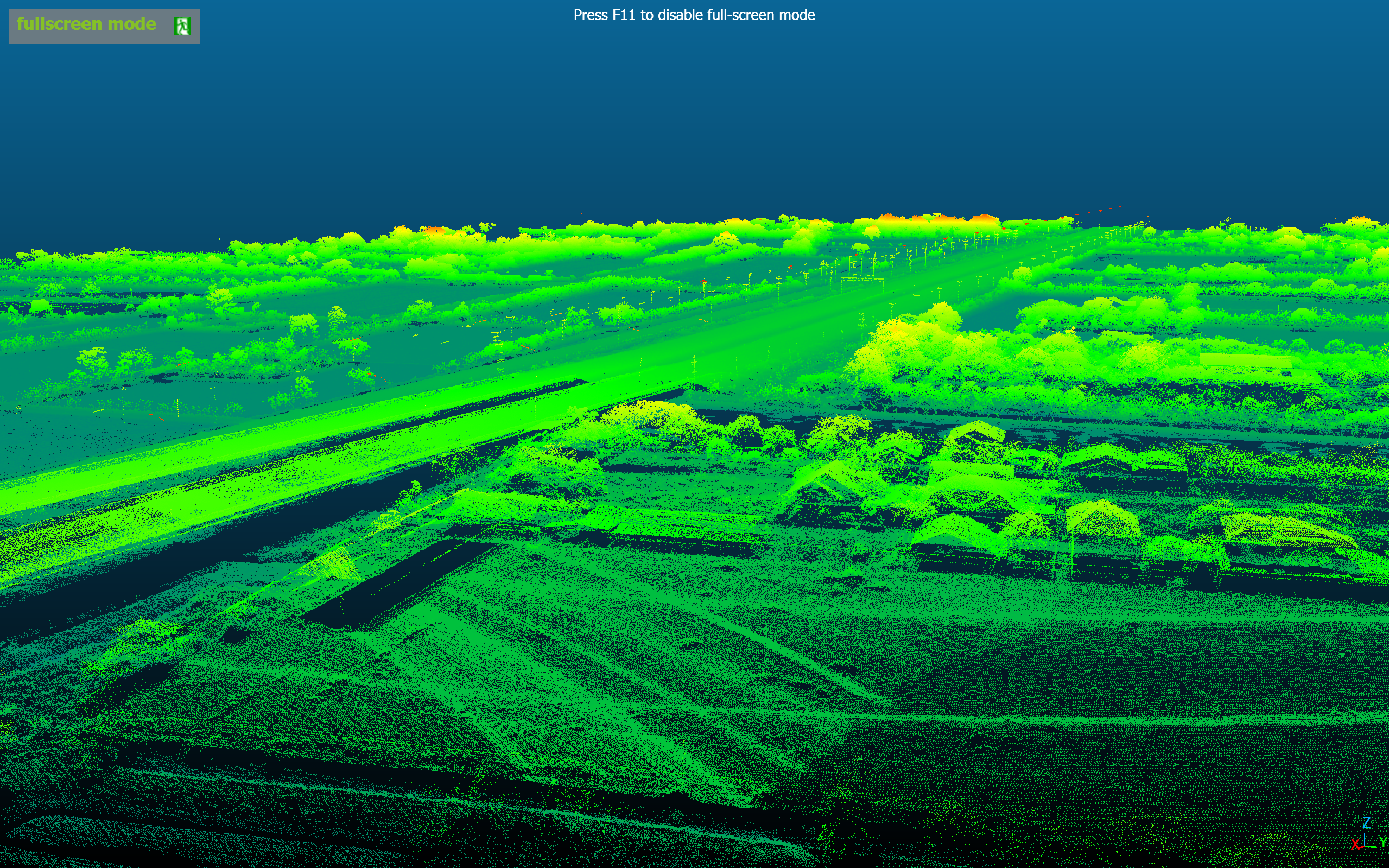
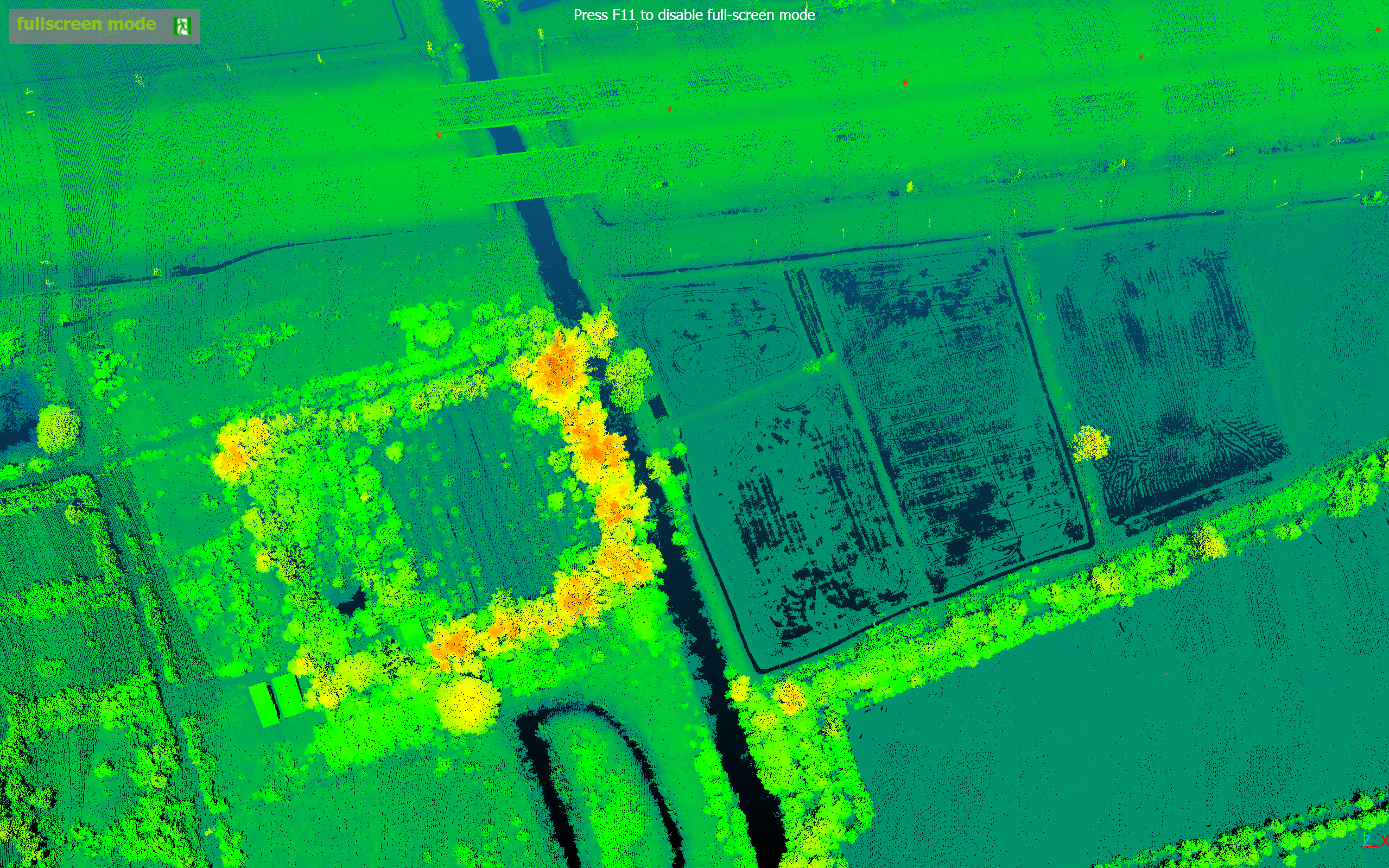
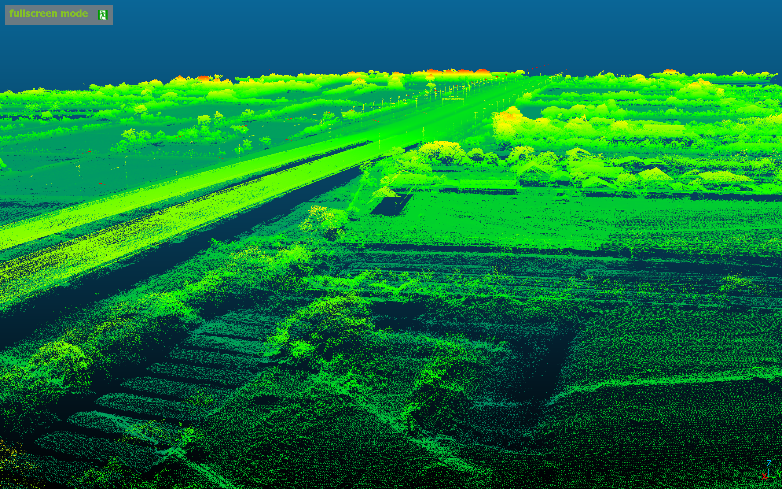
LiDAR + RGB Corridor Mapping
Corridor mapping with All-in-One LiDAR + RGB 45MP — 2—5 cm accuracy at 500K points per second.
Project Specifications
hourglass_top
Coming Soon · Awaiting data
ALTITUDE
—
CAMERA
—
FLIGHT TIME
—
AREA SURVEYED
—
DRONE
—
WIND SPEED
—
TEMPERATURE
—
LOCATION
—
Mission Gallery