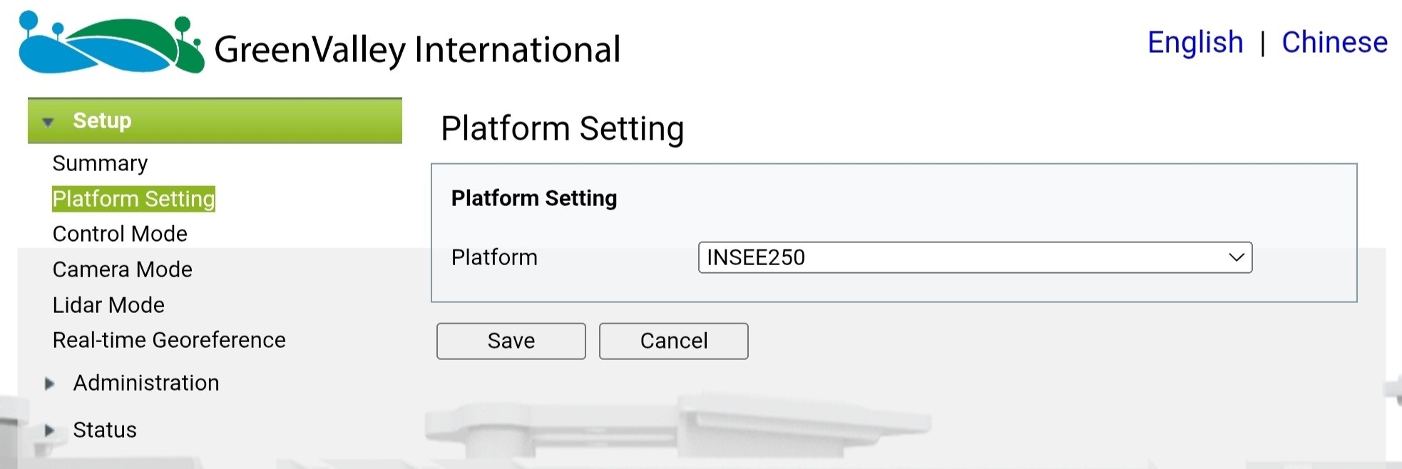
LiDARINSEE-250
GVI LiAir H600
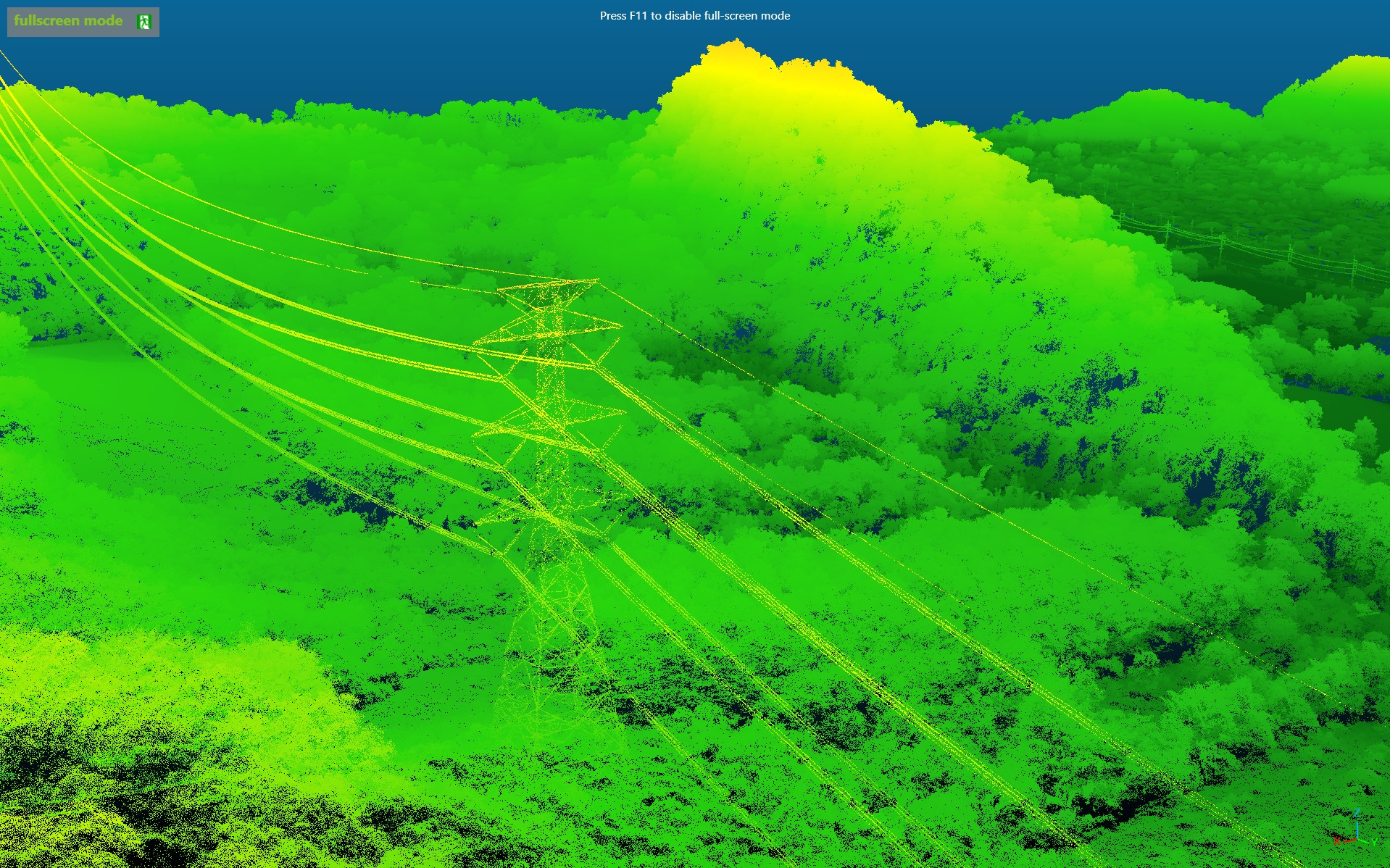
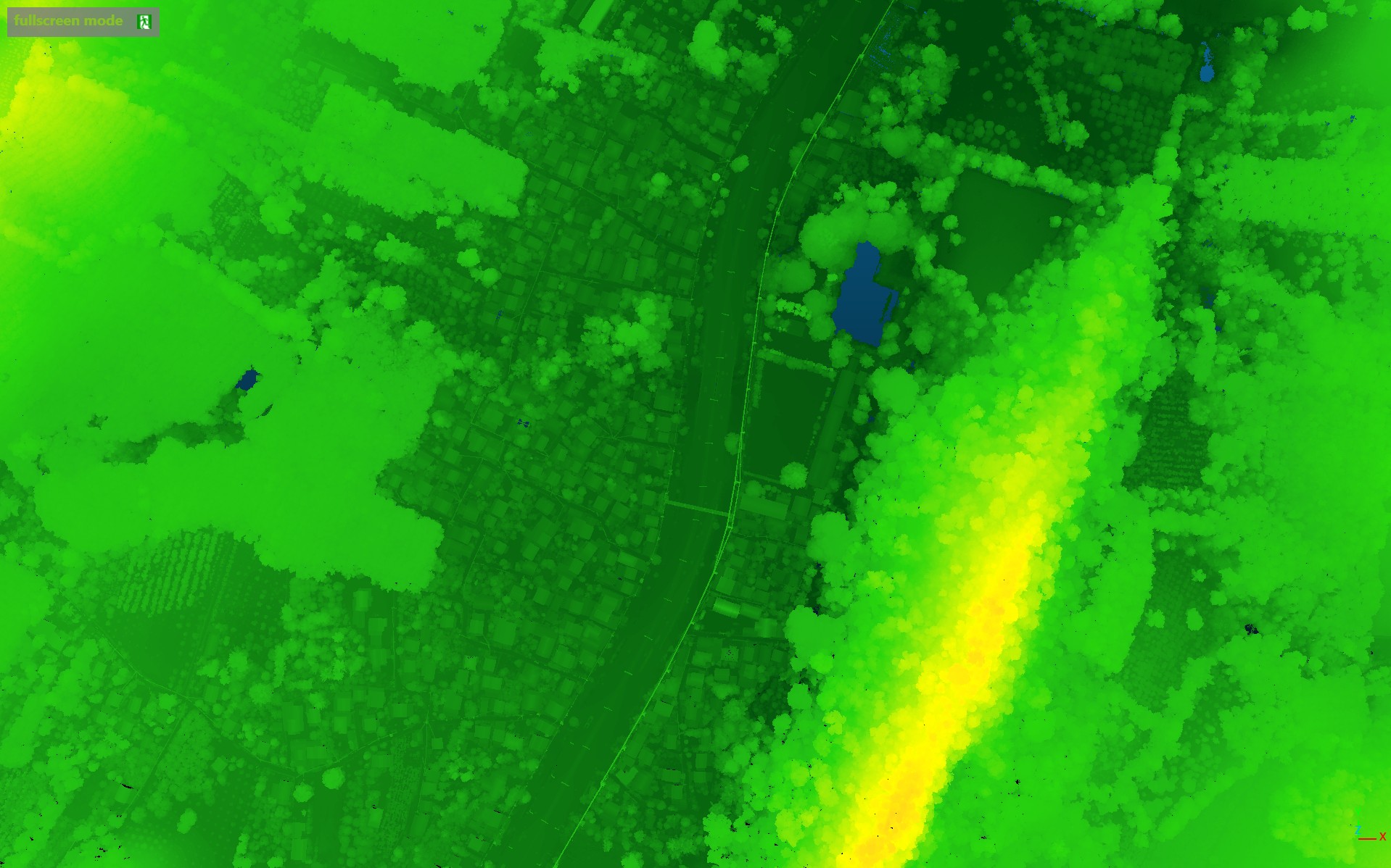
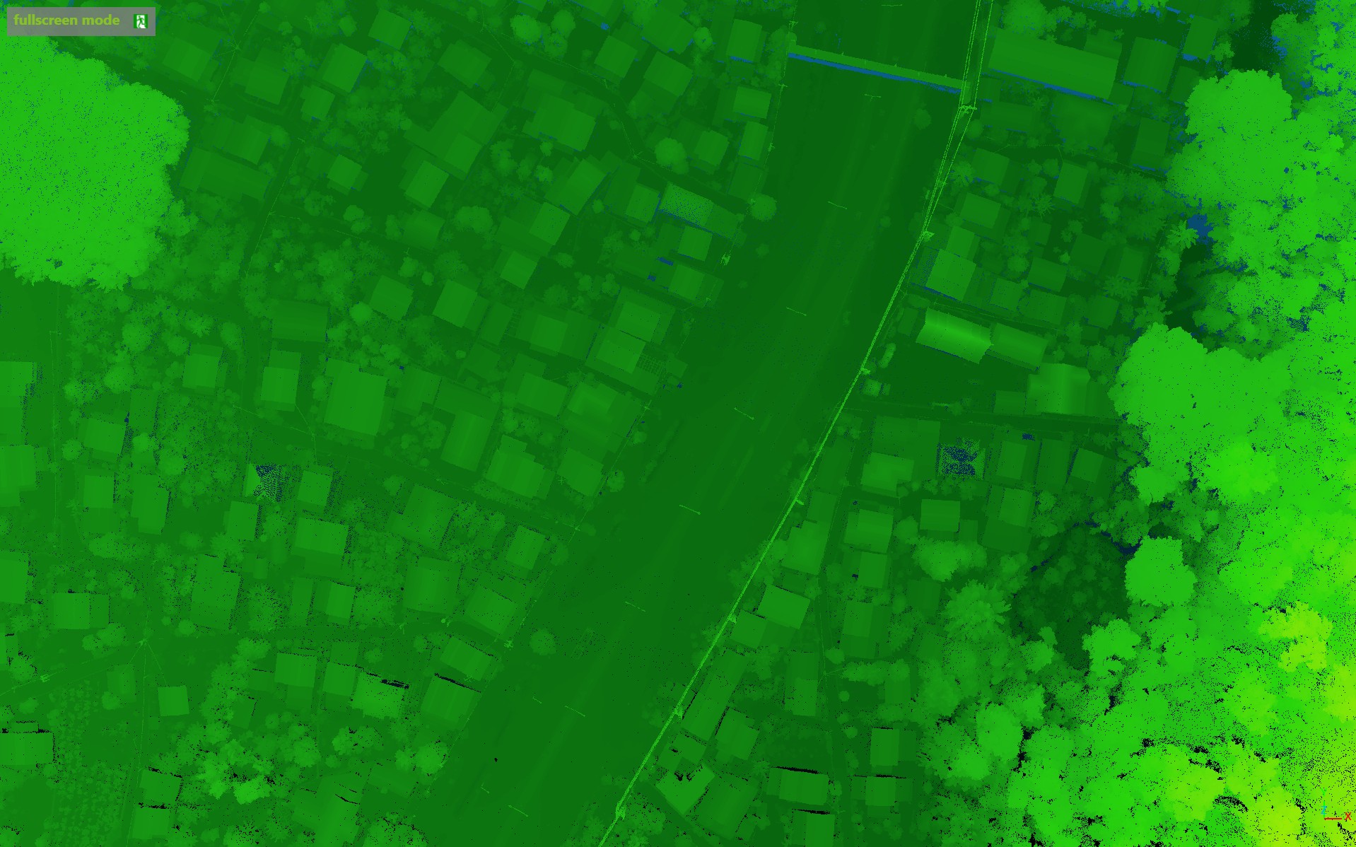
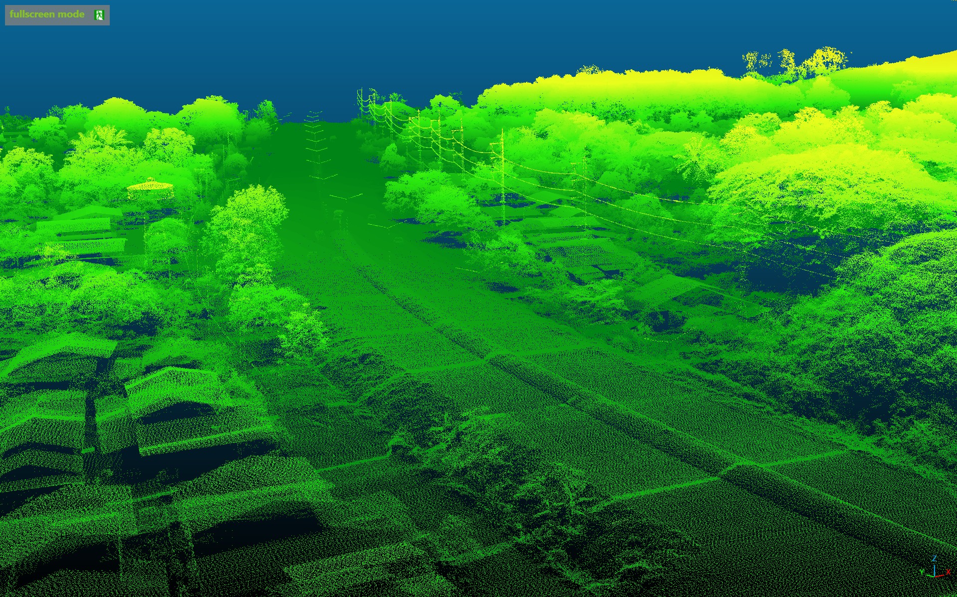
Terrain & Topographic Survey
A LiDAR-based terrain and topographic survey — capturing high-density point clouds for engineering and planning workflows.
Project Specifications
hourglass_top
Coming Soon · Awaiting data
ALTITUDE
—
CAMERA
—
FLIGHT TIME
—
AREA SURVEYED
—
DRONE
—
WIND SPEED
—
TEMPERATURE
—
LOCATION
—
Mission Gallery