
MicaSense by EagleNXT · Multispectral Sensor
MicaSense RedEdge‑P
High-resolution multispectral + RGB in one flight
Multispectral camera with 5 scientific-grade bands plus a 5.1 MP panchromatic sensor — pan-sharpened outputs reach 2 cm/px at 60 m, built for crop health, NDVI and vegetation analysis on the INSEE-250.
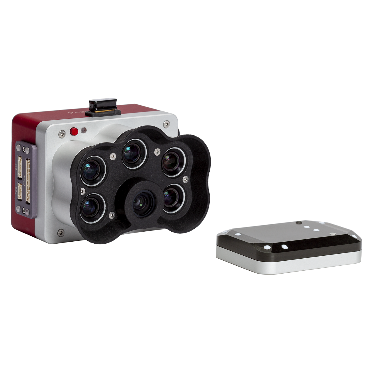
Pan-sharpened 2 cm resolution
The 5.1 MP panchromatic band sharpens RGB and multispectral outputs to 2 cm per pixel at 60 m — spot smaller issues earlier.
Calibrated, repeatable data
DLS 2 light sensor with GPS and a CRP2 reflectance panel correct for changing light, so results stay comparable across flights and seasons.
Fast global-shutter capture
Global shutter for distortion-free frames and up to 3 captures per second, recorded to swappable CFexpress cards.
NDAA compliant
Designed and manufactured in the USA, meeting NDAA requirements for government and defense-adjacent projects.
Specifications.
RedEdge-P camera, DLS 2 light sensor with GPS, CRP2 calibrated reflectance panel, CFexpress card and reader, Wi-Fi dongle, integration cables and mounting hardware, hard case. Also available as RedEdge-P blue / green and Dual or Triple kits.
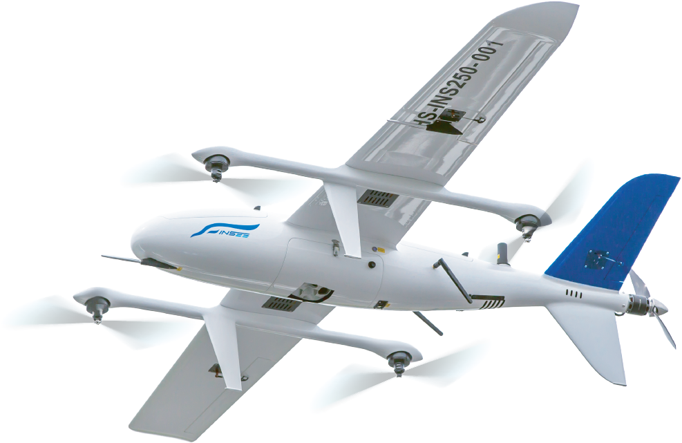
Ready to see your fields
in multispectral?
Talk to the INSEE UAV team — consultation, flight demos and a complete agriculture & vegetation mapping solution on the INSEE-250.
INSEE UAV — Engineered in Thailand · Operated by Thai Sky Vision Co., Ltd.